Alma is a city in Crawford County, Arkansas, United States. It is located within the Arkansas River Valley at the edge of the Ozark Mountains; the city is the sixth largest in the Fort Smith metropolitan area. The population was 5,419 at the 2010 Census. The city is located at the intersection of Interstates 40 and 49.
| Name: | Alma city |
|---|---|
| LSAD Code: | 25 |
| LSAD Description: | city (suffix) |
| State: | Arkansas |
| County: | Crawford County |
| Incorporated: | 1874 |
| Elevation: | 466 ft (142 m) |
| Total Area: | 5.90 sq mi (15.28 km²) |
| Land Area: | 5.73 sq mi (14.84 km²) |
| Water Area: | 0.17 sq mi (0.44 km²) |
| Total Population: | 5,825 |
| Population Density: | 1,016.58/sq mi (392.48/km²) |
| ZIP code: | 72921 |
| Area code: | 479 |
| FIPS code: | 0500970 |
| GNISfeature ID: | 2403086 |
| Website: | cityofalma.org |
Online Interactive Map
Click on ![]() to view map in "full screen" mode.
to view map in "full screen" mode.
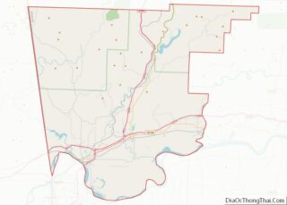
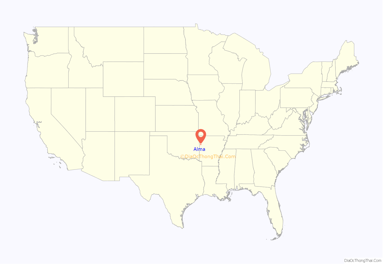
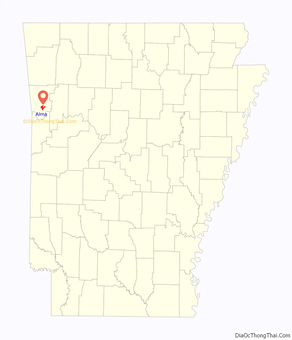
Alma location map. Where is Alma city?
History
Alma was incorporated in 1874 and the economy was largely agricultural until the introduction of the canning industry. Today, the city claims the title of “Spinach Capital of the World”.
In his book Washington Goes to War, David Brinkley described Alma’s participation in the World War II effort:
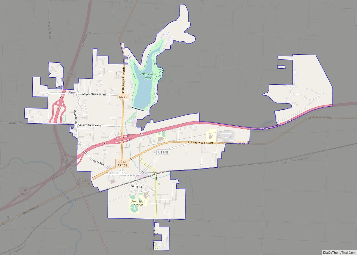
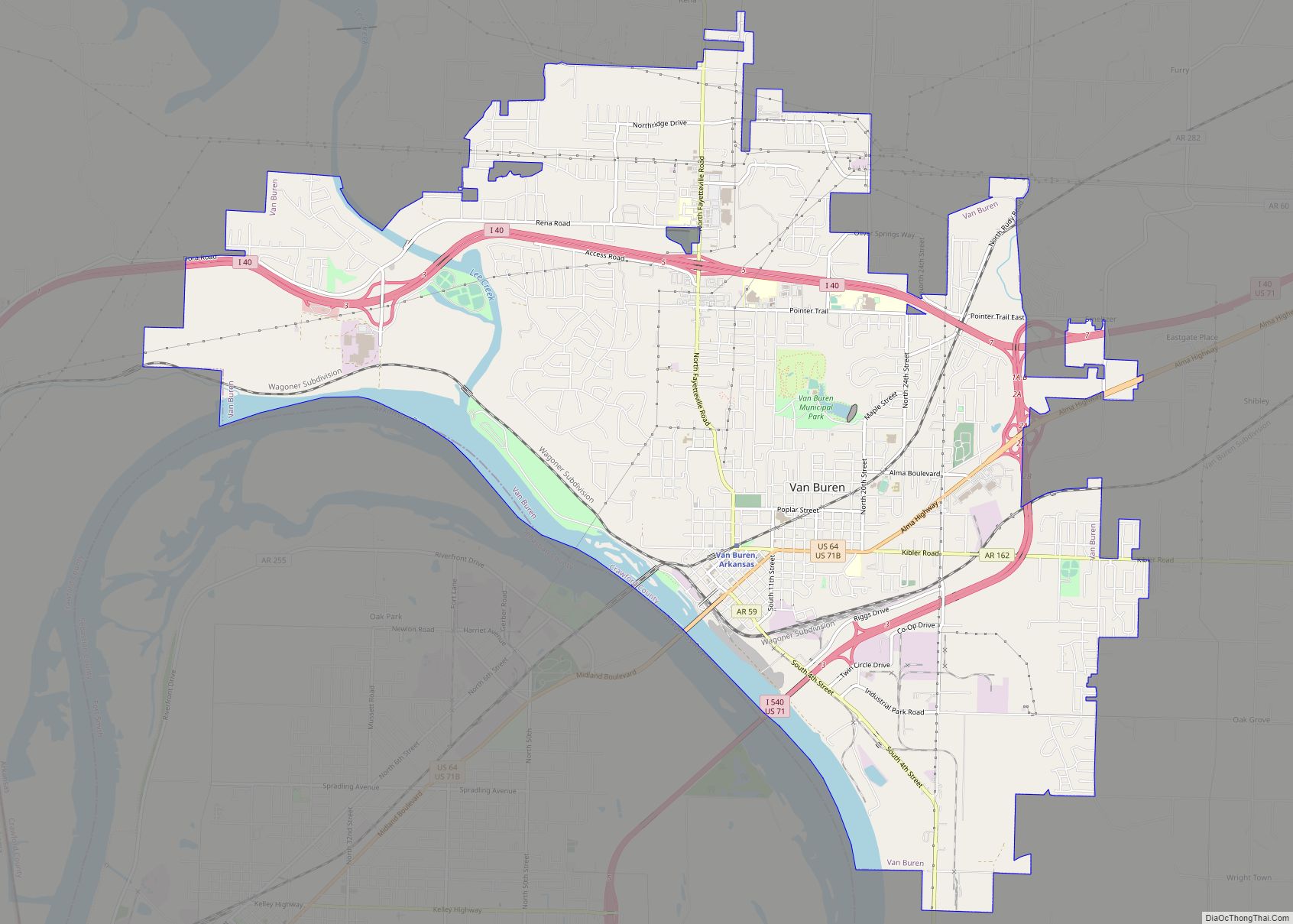
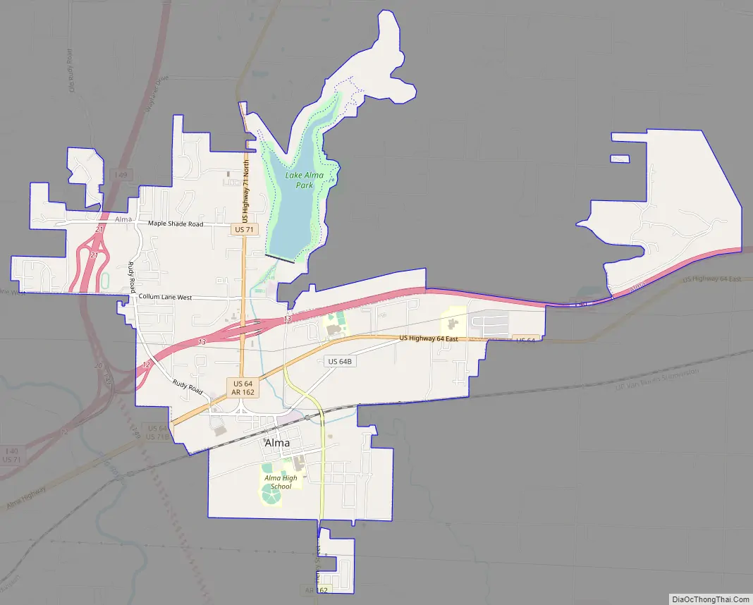
Alma Road Map
Alma city Satellite Map

Geography
According to the United States Census Bureau, the city has a total area of 5.6 square miles (14.4 km), of which 5.4 square miles (14.0 km) is land and 0.15 square miles (0.4 km), or 3.06%, is water.
Alma is located in south-central Crawford County and has no airport. The train station, which fell into a state of dilapidation, was torn down in the early 1970s. Much of its commerce derives from interstate highway traffic, as Interstates 40 and 49 (previously 540), as well as U.S. Routes 64 and 71, pass through the city.
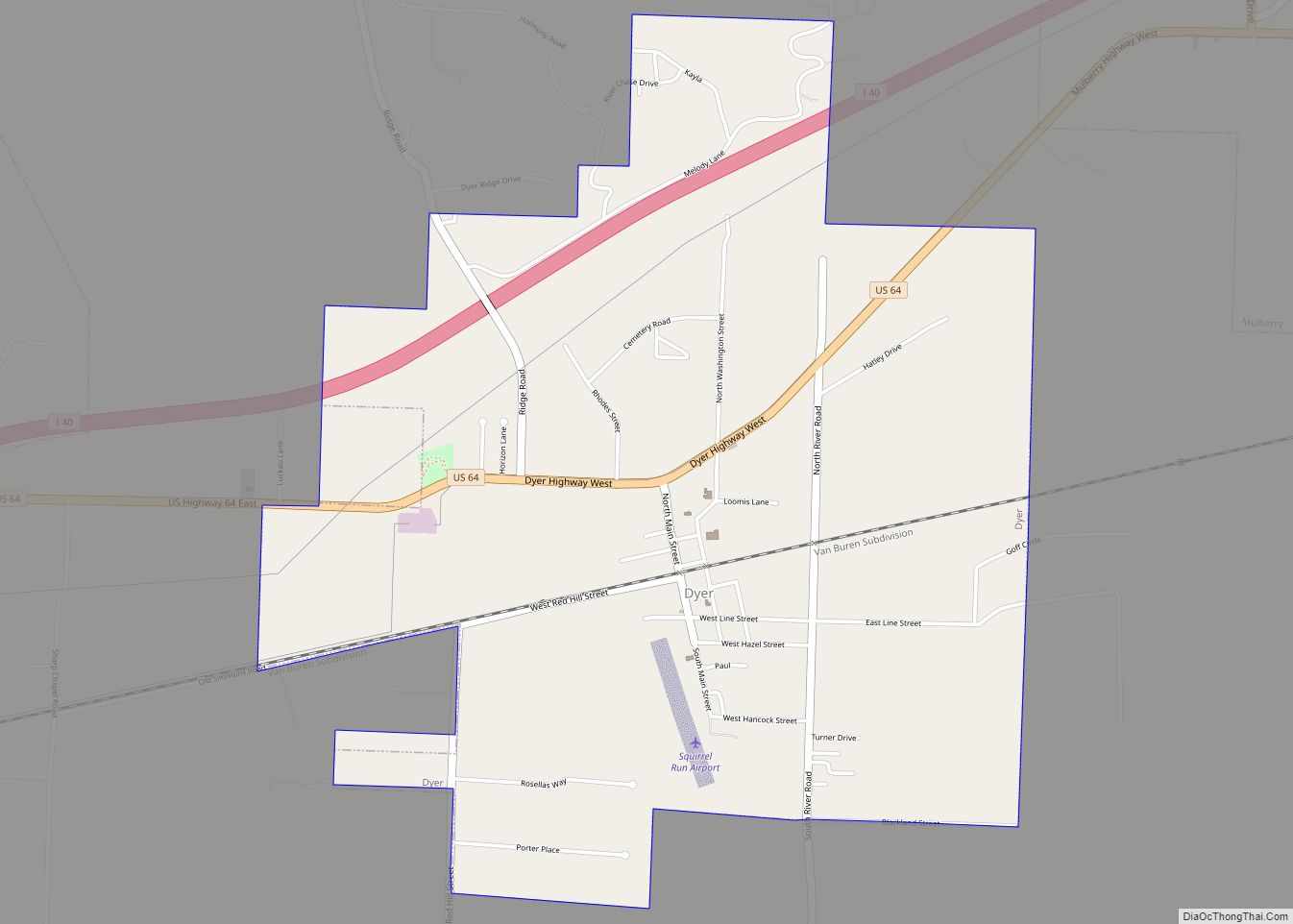
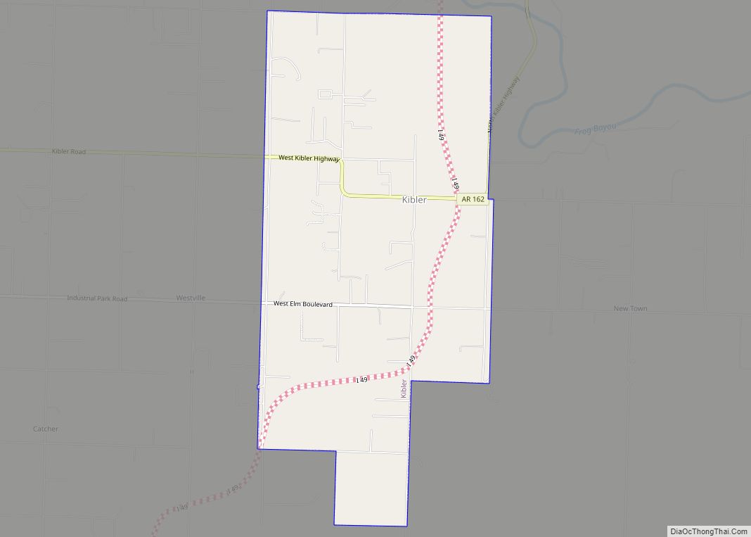
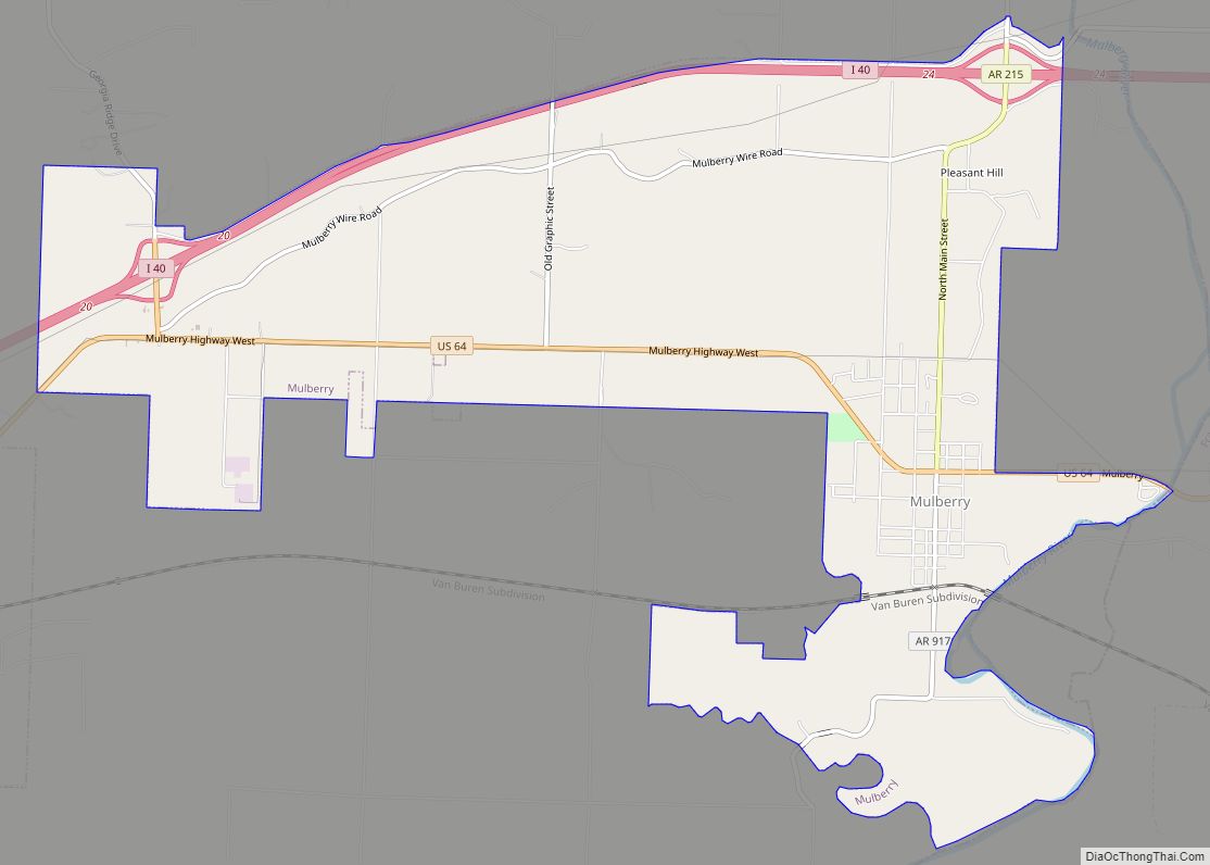
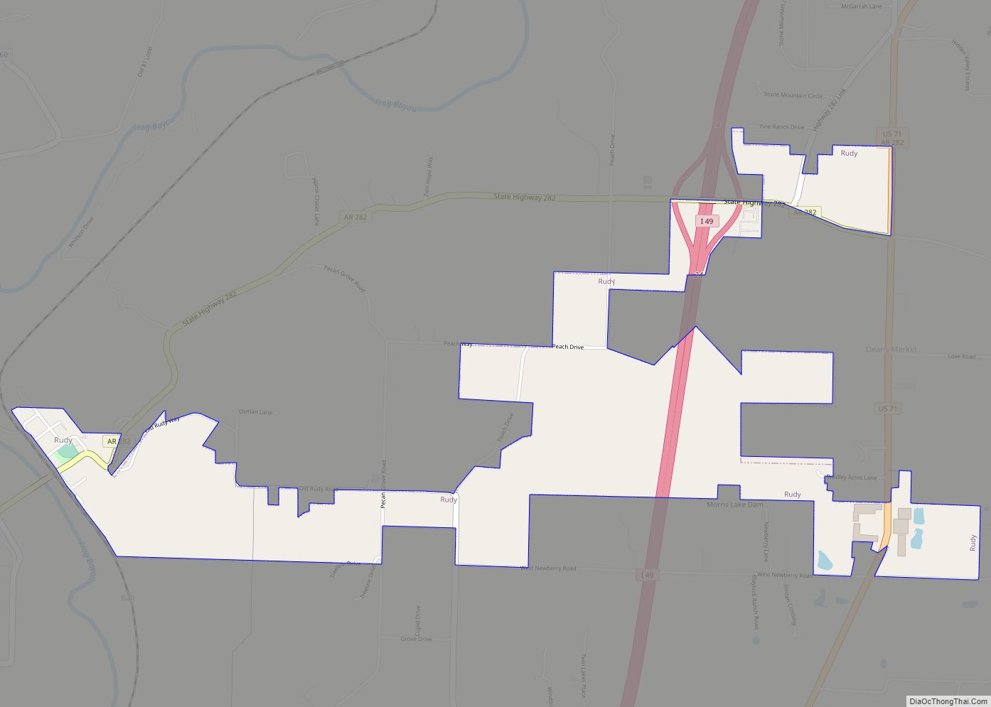
The city gets its water supply from Alma Lake, which is perched above the city on the northeast, held back by a tall earthen dam that blocks Little Frog Bayou. Alma Lake is the reservoir that supplies the city’s tap water. Alma sits along the border between the Boston Mountains and the Arkansas River Valley, so while most of the city lies on flat land, immediately to the north is scenic hill country. Alma is surrounded by several rural towns, including Rudy to the north, Dyer and Mulberry to the east, and Kibler to the southwest.
See also
Map of Arkansas State and its subdivision:- Arkansas
- Ashley
- Baxter
- Benton
- Boone
- Bradley
- Calhoun
- Carroll
- Chicot
- Clark
- Clay
- Cleburne
- Cleveland
- Columbia
- Conway
- Craighead
- Crawford
- Crittenden
- Cross
- Dallas
- Desha
- Drew
- Faulkner
- Franklin
- Fulton
- Garland
- Grant
- Greene
- Hempstead
- Hot Spring
- Howard
- Independence
- Izard
- Jackson
- Jefferson
- Johnson
- Lafayette
- Lawrence
- Lee
- Lincoln
- Little River
- Logan
- Lonoke
- Madison
- Marion
- Miller
- Mississippi
- Monroe
- Montgomery
- Nevada
- Newton
- Ouachita
- Perry
- Phillips
- Pike
- Poinsett
- Polk
- Pope
- Prairie
- Pulaski
- Randolph
- Saint Francis
- Saline
- Scott
- Searcy
- Sebastian
- Sevier
- Sharp
- Stone
- Union
- Van Buren
- Washington
- White
- Woodruff
- Yell
- Alabama
- Alaska
- Arizona
- Arkansas
- California
- Colorado
- Connecticut
- Delaware
- District of Columbia
- Florida
- Georgia
- Hawaii
- Idaho
- Illinois
- Indiana
- Iowa
- Kansas
- Kentucky
- Louisiana
- Maine
- Maryland
- Massachusetts
- Michigan
- Minnesota
- Mississippi
- Missouri
- Montana
- Nebraska
- Nevada
- New Hampshire
- New Jersey
- New Mexico
- New York
- North Carolina
- North Dakota
- Ohio
- Oklahoma
- Oregon
- Pennsylvania
- Rhode Island
- South Carolina
- South Dakota
- Tennessee
- Texas
- Utah
- Vermont
- Virginia
- Washington
- West Virginia
- Wisconsin
- Wyoming