Greensburg is a city in and the county seat of Decatur County, Indiana. The population was 12,312 at the time of the 2020 census.
| Name: | Greensburg city |
|---|---|
| LSAD Code: | 25 |
| LSAD Description: | city (suffix) |
| State: | Indiana |
| County: | Decatur County |
| Elevation: | 958 ft (292 m) |
| Total Area: | 9.41 sq mi (24.37 km²) |
| Land Area: | 9.36 sq mi (24.25 km²) |
| Water Area: | 0.04 sq mi (0.12 km²) |
| Total Population: | 12,312 |
| Population Density: | 1,315.10/sq mi (507.76/km²) |
| ZIP code: | 47240 |
| Area code: | 812 |
| FIPS code: | 1829718 |
| GNISfeature ID: | 0449663 |
| Website: | www.cityofgreensburg.com |
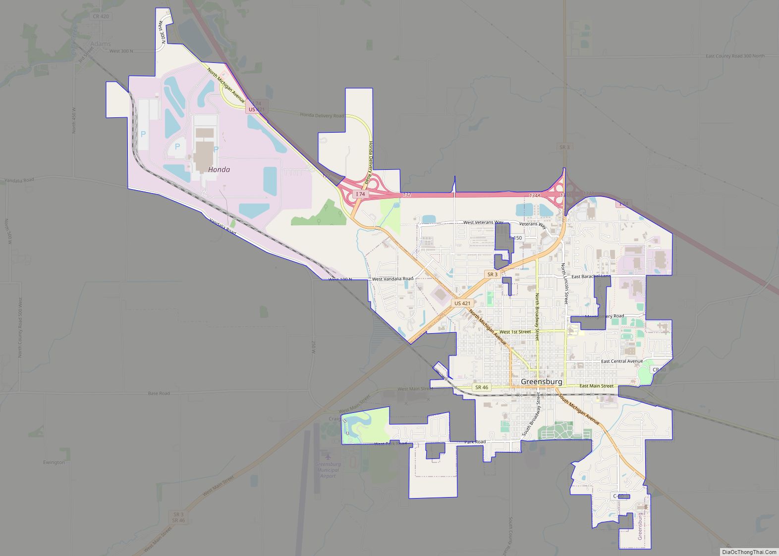
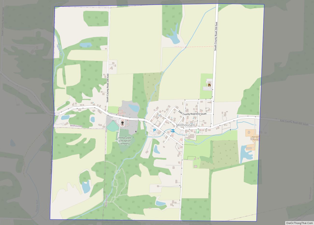
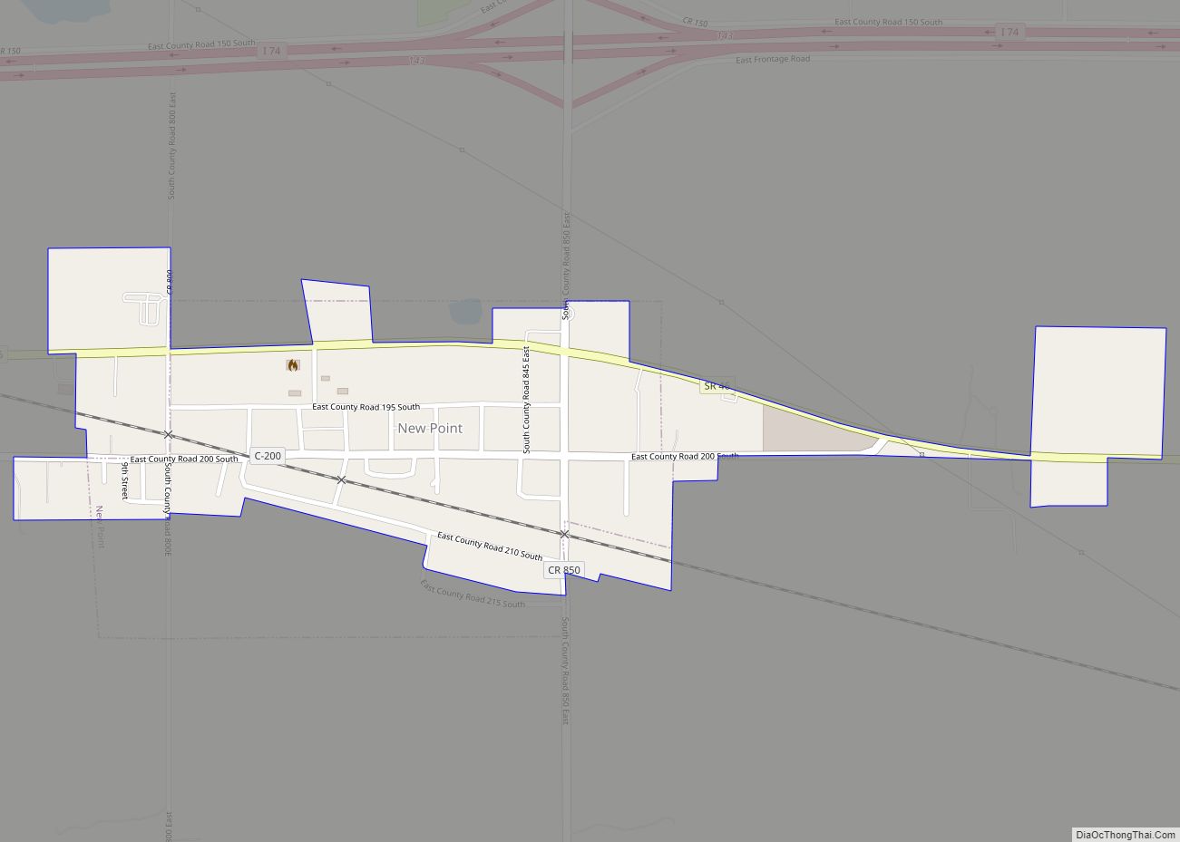
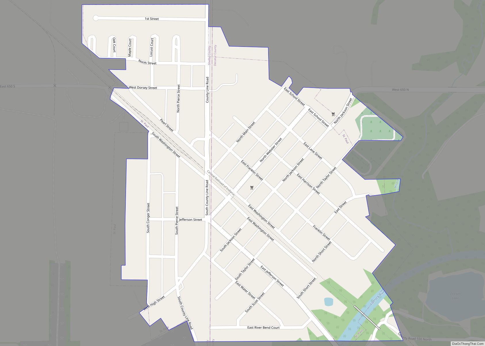
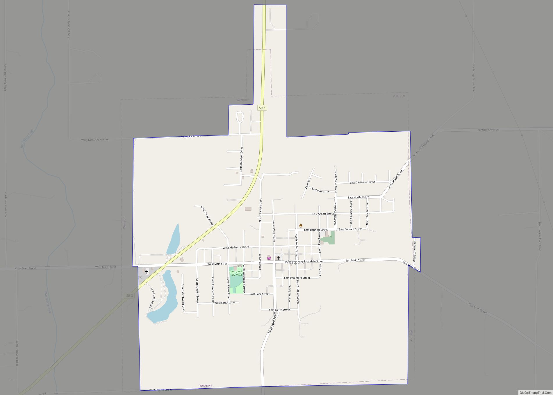
Online Interactive Map
Click on ![]() to view map in "full screen" mode.
to view map in "full screen" mode.
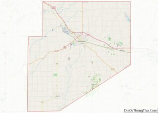
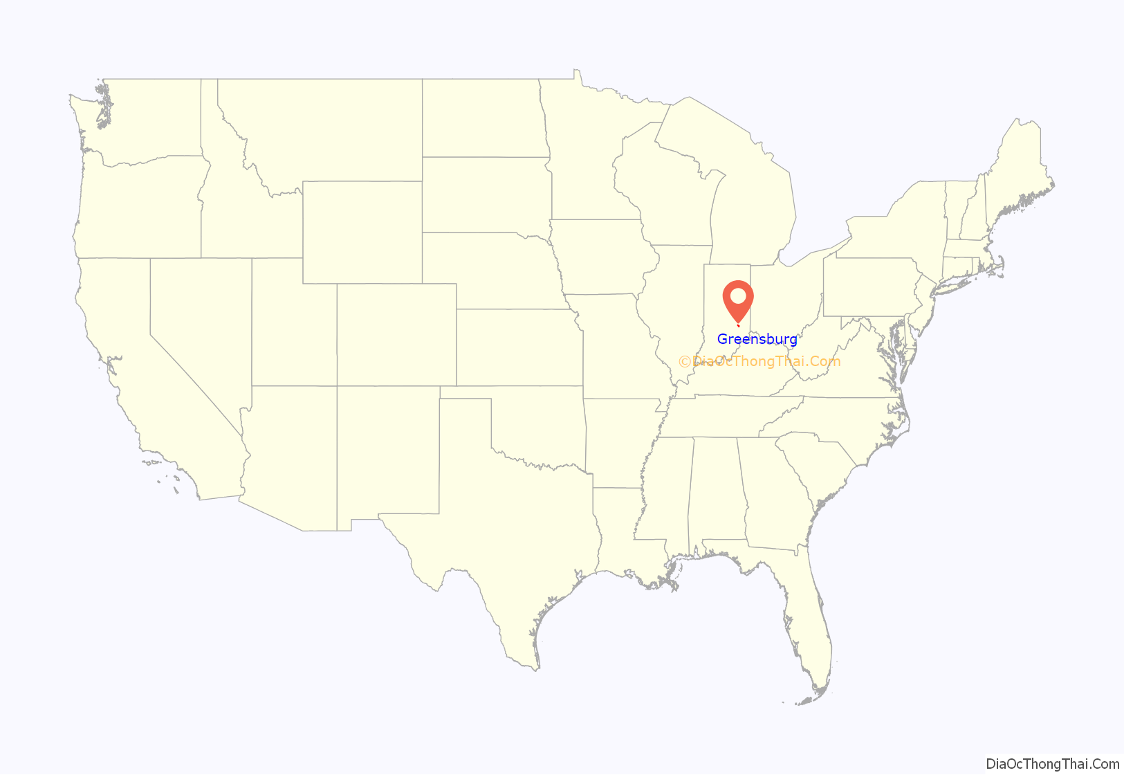
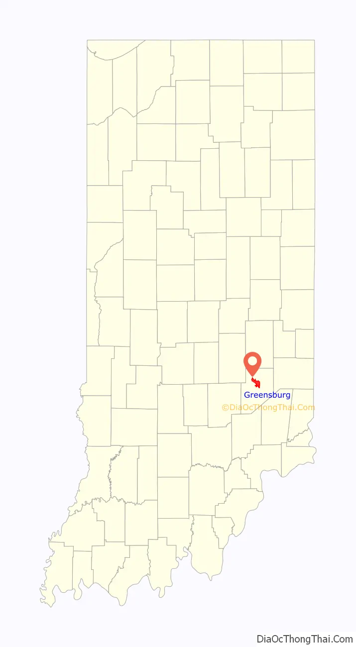
Greensburg location map. Where is Greensburg city?
History
Greensburg was laid out in 1822. The founder, Thomas Hendricks Sr.’s wife being a native of Greensburg, Pennsylvania, caused the name to be selected.
Greensburg’s founder Col. Thomas Hendricks was a veteran of War of 1812.
The historic Wilderwood house built by the Union Army Civil War Brevet Brigadier General Colonel John T. Wilder sits on 1.13 acres at 446 East Main Street (Greensburg, Ind.). This fine house built in 1893 is listed on the register of historic places. It features a widow’s walk or roofwalk designed by General Wilder for his wife Martha Jane Stewart.
The first post office at Greensburg opened in 1823, but the name of the post office was spelled Greensburgh until 1894.
Michigan Road was completed in 1837, bringing more people to settle and visit the growing town. After the Cincinnati, Indianapolis, and St. Louis Railroad was completed in 1853, the town boomed. Agriculture, foundries, millineries, wholesale grocers, and other businesses took advantage of Greenburg’s strategic rail position.
At the beginning of the twentieth century, race relations in Greensburg worsened, leading to the expulsion of African Americans from the city after race riots against them in 1906 and 1907. According to James W. Loewen, Greensburg then was for decades a sundown town, a town that was purposely all-white.
The Historical Society of Decatur County established a museum in 1976 in a historic former residence. The museum underwent an expansion and renovation in 2006, providing better facilities for storage, record keeping, and exhibits. Visits to the Historical Society Museum and a Pioneer Day event provide students an interactive learning experience on the life of the area’s first settlers. Another school enrichment project allows students to research historic buildings, focusing on the age, architecture, use and other information that would help place the structure within the community’s story. The results are then condensed onto bronze plaques placed on the exterior of the buildings. The incentive package included $5,000 to offset moving expenses, a year’s membership to the local co-working space and YMCA, gift cards to the seasonal farmers market, tickets throughout the year to productions at the local playhouse, home-cooked meals and a program called “Grandparents on Demand”, which offered babysitting hours and a stand in on Grandparents Day at school.
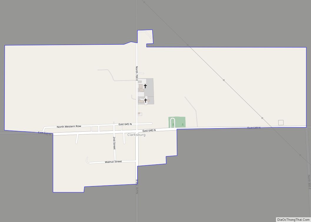
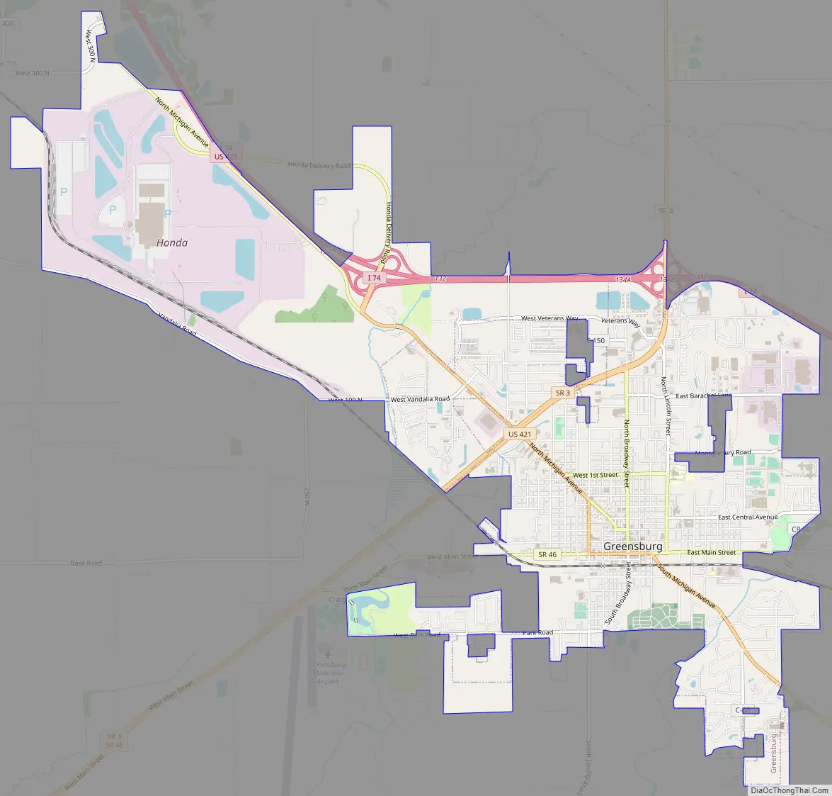
Greensburg Road Map
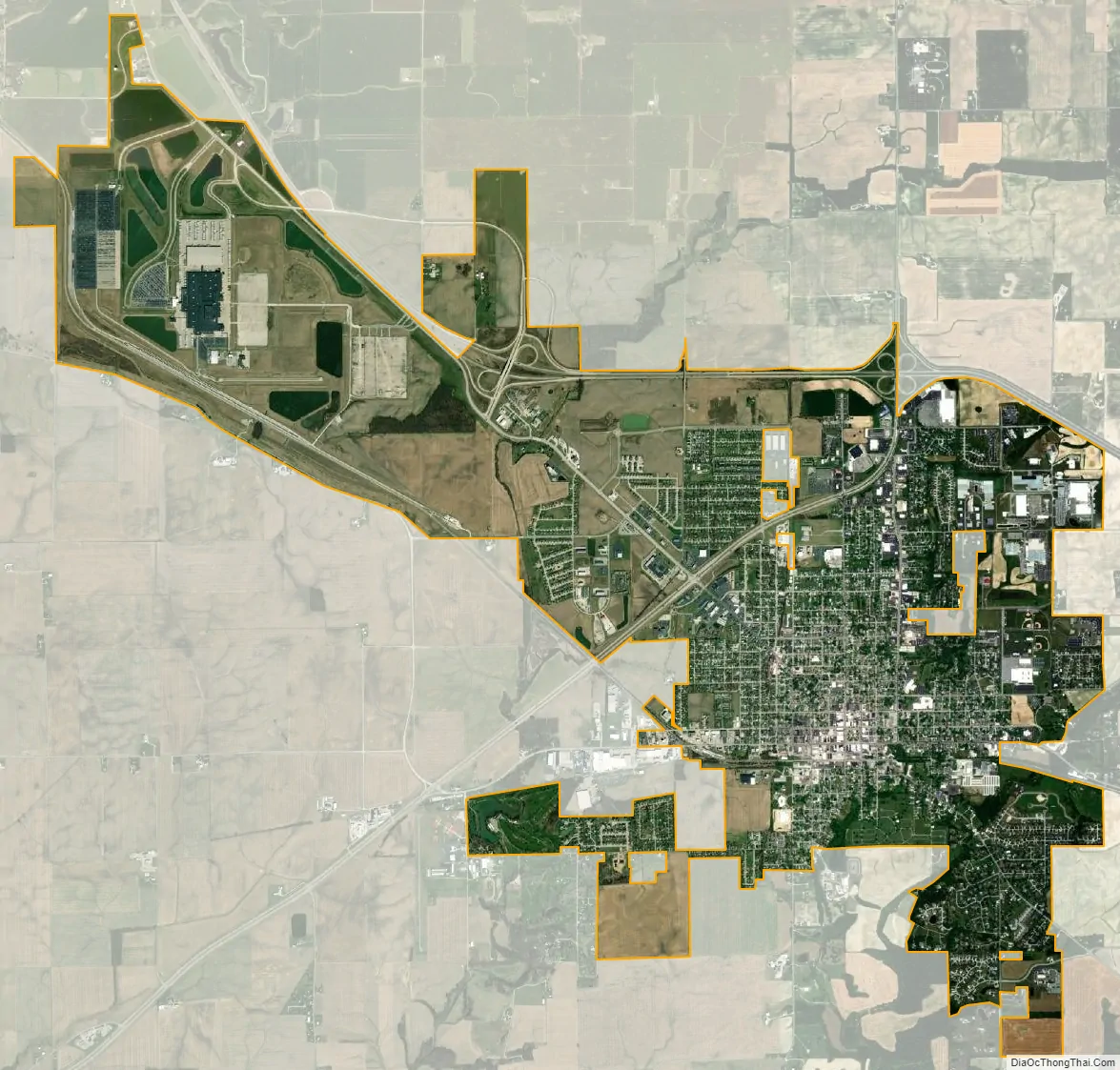
Greensburg city Satellite Map
Geography
According to the 2010 census, Greensburg has a total area of 9.315 square miles (24.13 km), of which 9.27 square miles (24.01 km) (or 99.52%) is land and 0.045 square miles (0.12 km) (or 0.48%) is water.
Climate
Greensburg is characterized by relatively high temperatures and evenly distributed precipitation throughout the year. Temperatures are high and can lead to warm, oppressive nights. Summers are usually somewhat wetter than winters, with much of the rainfall coming from convectional thunderstorm activity. The Köppen Climate Classification subtype for this climate is “Cfa” (Humid Subtropical Climate).
See also
Map of Indiana State and its subdivision:- Adams
- Allen
- Bartholomew
- Benton
- Blackford
- Boone
- Brown
- Carroll
- Cass
- Clark
- Clay
- Clinton
- Crawford
- Daviess
- De Kalb
- Dearborn
- Decatur
- Delaware
- Dubois
- Elkhart
- Fayette
- Floyd
- Fountain
- Franklin
- Fulton
- Gibson
- Grant
- Greene
- Hamilton
- Hancock
- Harrison
- Hendricks
- Henry
- Howard
- Huntington
- Jackson
- Jasper
- Jay
- Jefferson
- Jennings
- Johnson
- Knox
- Kosciusko
- LaGrange
- Lake
- Lake Michigan
- LaPorte
- Lawrence
- Madison
- Marion
- Marshall
- Martin
- Miami
- Monroe
- Montgomery
- Morgan
- Newton
- Noble
- Ohio
- Orange
- Owen
- Parke
- Perry
- Pike
- Porter
- Posey
- Pulaski
- Putnam
- Randolph
- Ripley
- Rush
- Saint Joseph
- Scott
- Shelby
- Spencer
- Starke
- Steuben
- Sullivan
- Switzerland
- Tippecanoe
- Tipton
- Union
- Vanderburgh
- Vermillion
- Vigo
- Wabash
- Warren
- Warrick
- Washington
- Wayne
- Wells
- White
- Whitley
- Alabama
- Alaska
- Arizona
- Arkansas
- California
- Colorado
- Connecticut
- Delaware
- District of Columbia
- Florida
- Georgia
- Hawaii
- Idaho
- Illinois
- Indiana
- Iowa
- Kansas
- Kentucky
- Louisiana
- Maine
- Maryland
- Massachusetts
- Michigan
- Minnesota
- Mississippi
- Missouri
- Montana
- Nebraska
- Nevada
- New Hampshire
- New Jersey
- New Mexico
- New York
- North Carolina
- North Dakota
- Ohio
- Oklahoma
- Oregon
- Pennsylvania
- Rhode Island
- South Carolina
- South Dakota
- Tennessee
- Texas
- Utah
- Vermont
- Virginia
- Washington
- West Virginia
- Wisconsin
- Wyoming