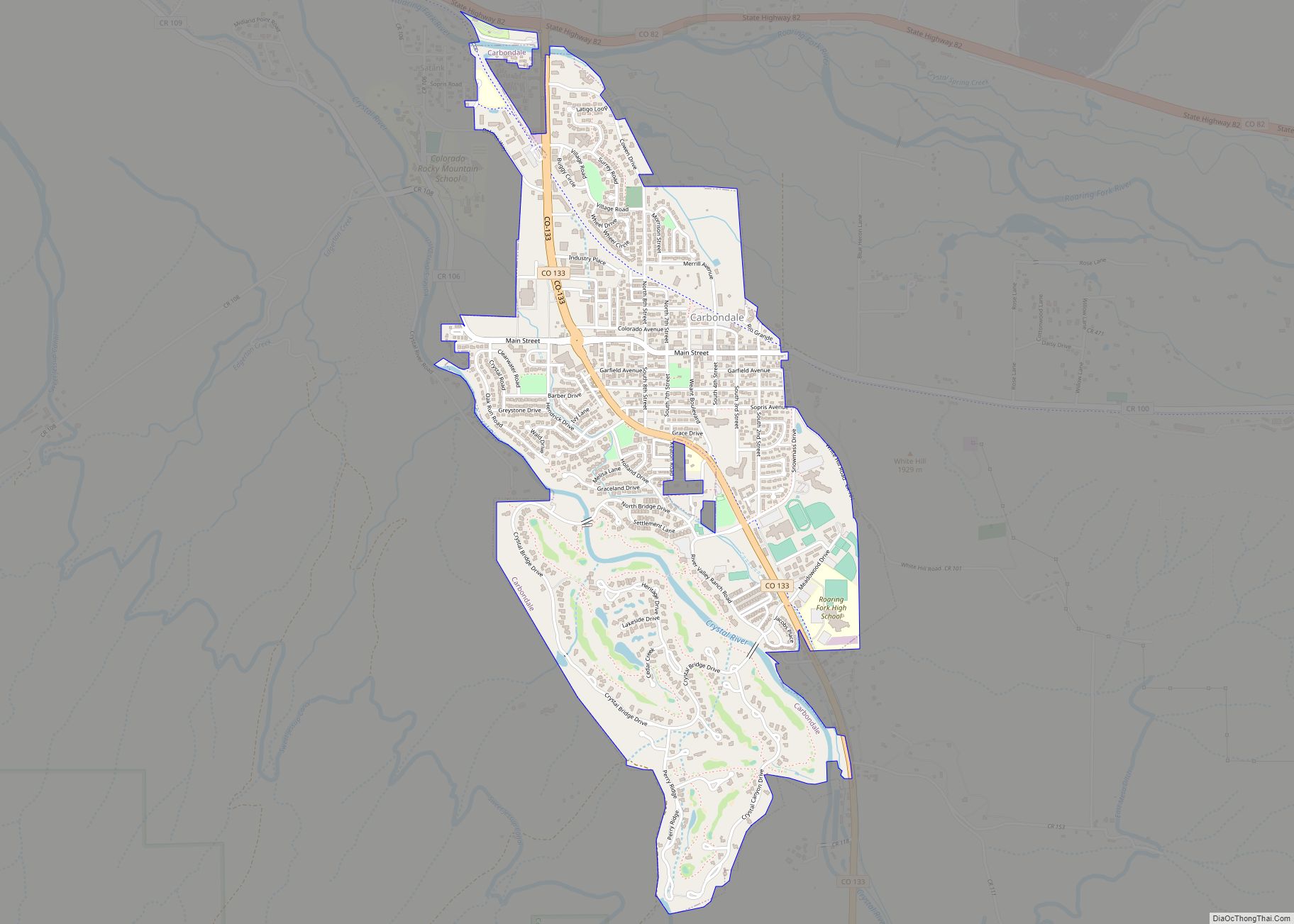
The Town of Carbondale is a home rule municipality located in Garfield County, Colorado, United States. The town population was 6,434 at the 2020 United States Census. Carbondale is a part of the Glenwood Springs, CO Micropolitan Statistical Area.
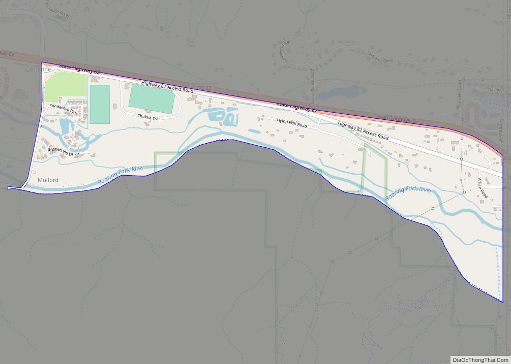
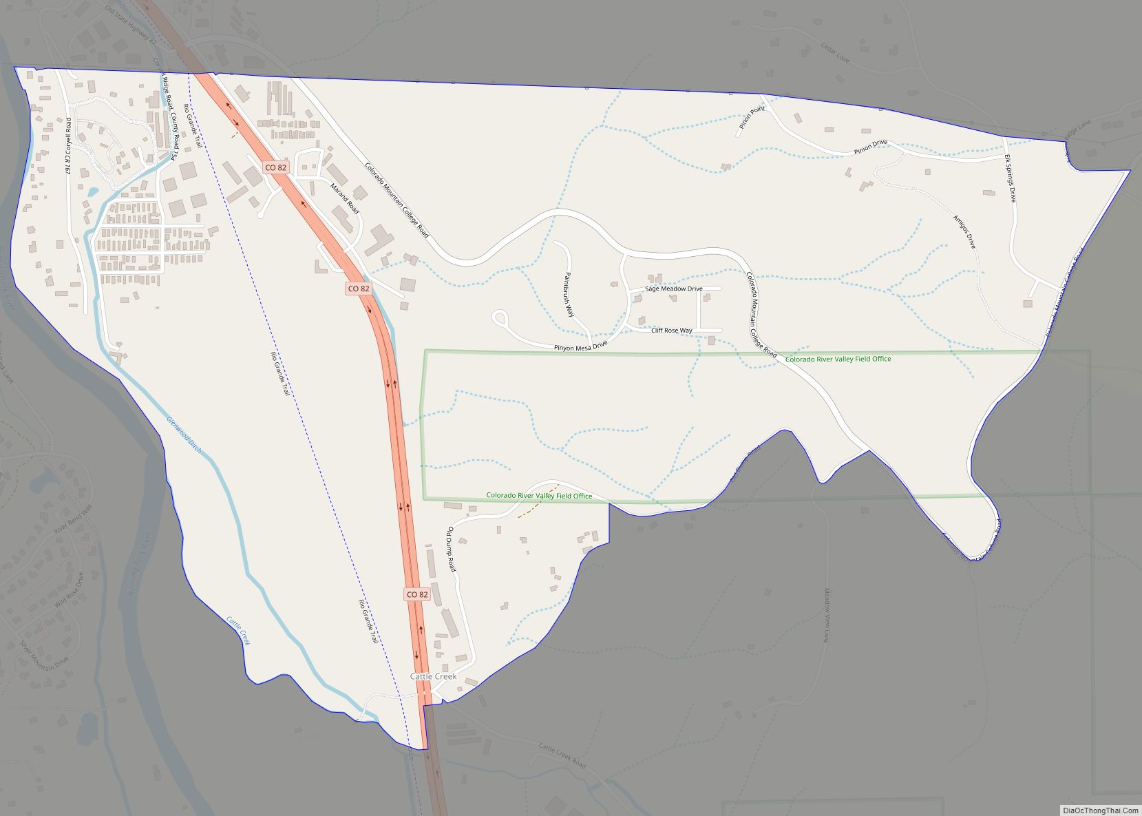
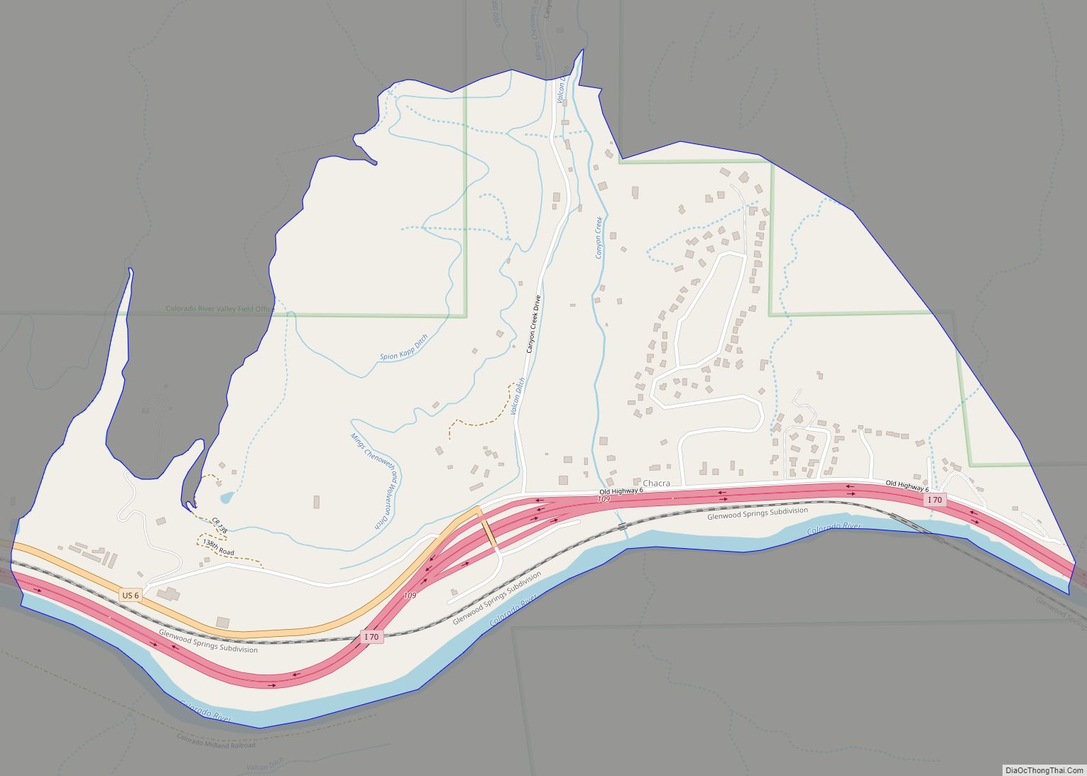
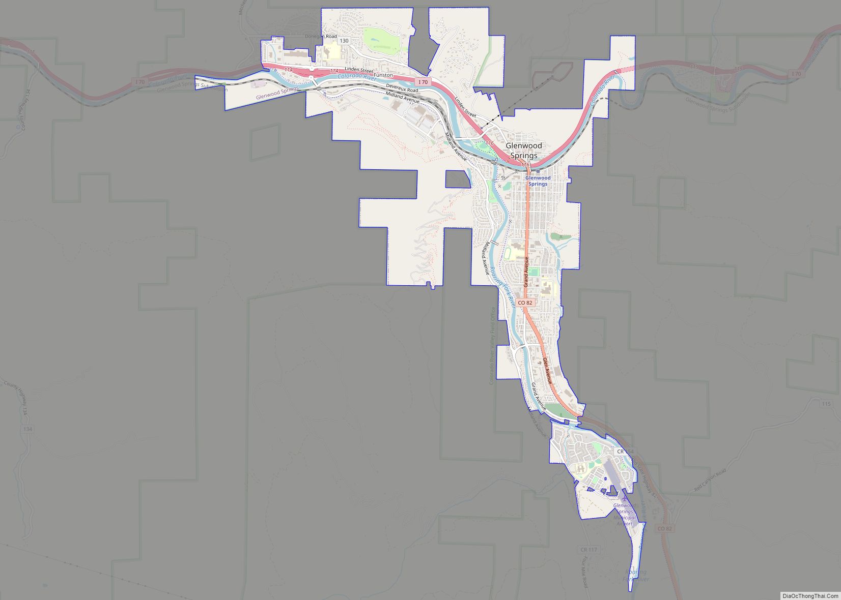
The town is located in the Roaring Fork Valley, downstream from Aspen and upstream from the mouth of the Roaring Fork River at Glenwood Springs. The town proper sits on the south bank of the river, near its confluence with the Crystal River. Carbondale’s horizon is dominated by the 12,953 ft (3,952 m) tall Mount Sopris several miles to the south of town. Carbondale is the northern terminus of the West Elk Loop Scenic and Historic Byway.
| Name: | Carbondale town |
|---|---|
| LSAD Code: | 43 |
| LSAD Description: | town (suffix) |
| State: | Colorado |
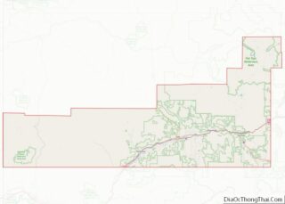
| County: | Garfield County |
| Elevation: | 6,181 ft (1,881 m) |
| Total Area: | 2.022 sq mi (5.237 km²) |
| Land Area: | 2.022 sq mi (5.237 km²) |
| Water Area: | 0.000 sq mi (0.000 km²) |
| Total Population: | 6,434 |
| Population Density: | 3,182/sq mi (1,229/km²) |
| ZIP code: | 81623 |
| Area code: | 970 |
| FIPS code: | 0812045 |
| Website: | carbondalegov.org |
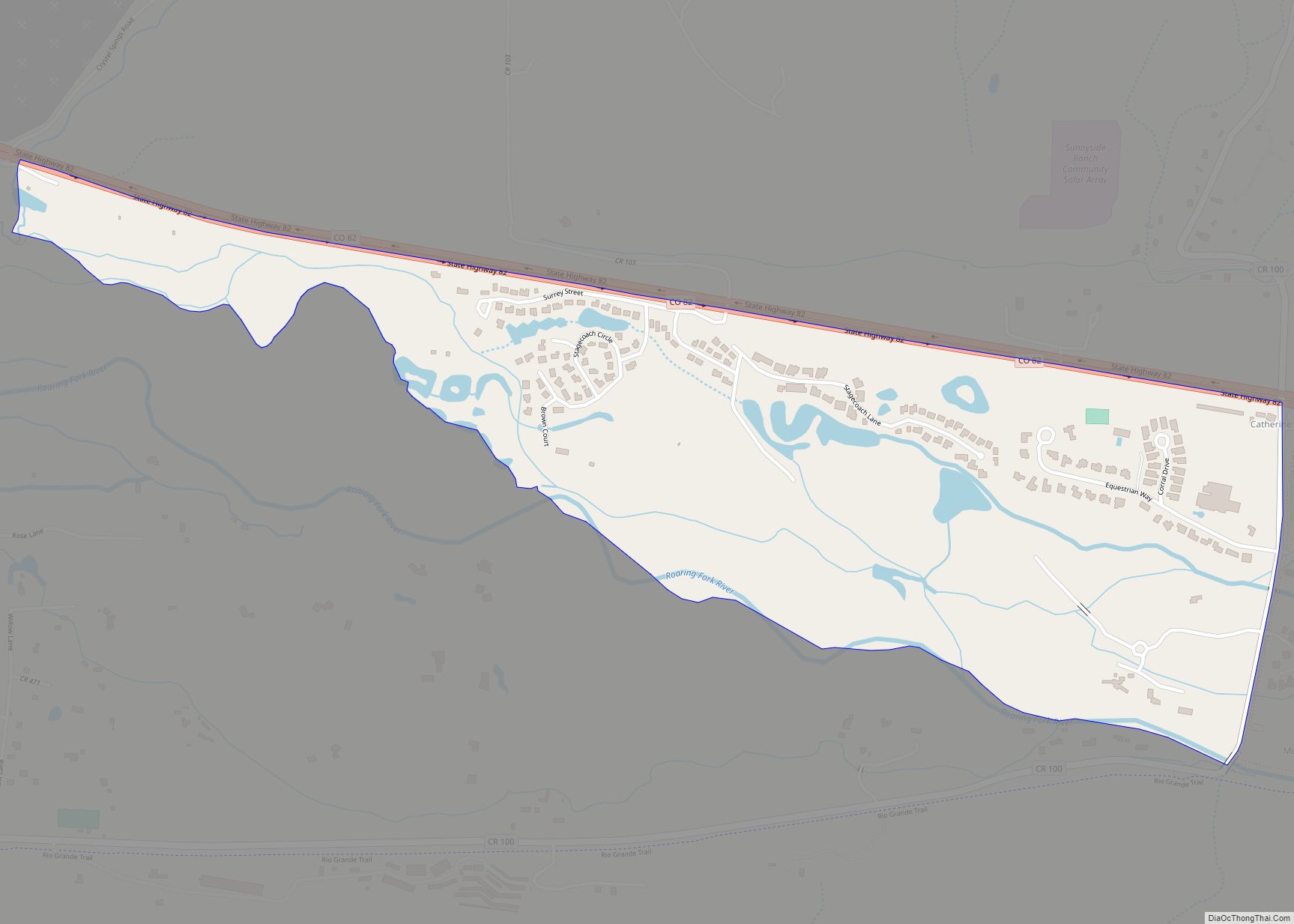
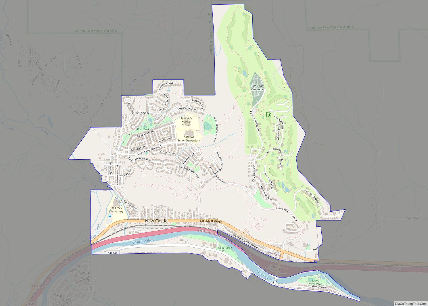
Online Interactive Map
Click on ![]() to view map in "full screen" mode.
to view map in "full screen" mode.
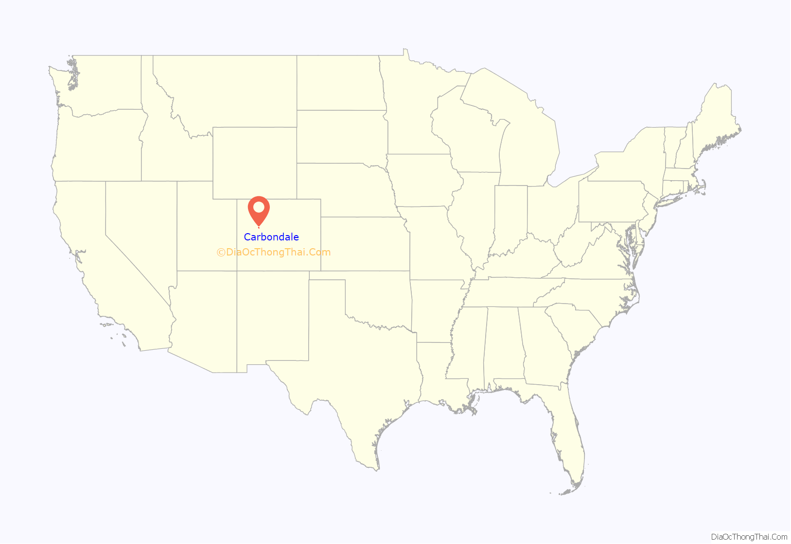
Carbondale location map. Where is Carbondale town?

History
The Roaring Fork and Crystal Valleys historically were a seasonal home and hunting ground of the Parianuche and Yampa bands of the Ute people. In the years after 1879, white prospectors and settlers defied U.S. treaties with the Utes and entered the area in increasingly significant numbers.
Carbondale takes its name from Carbondale, Pennsylvania, hometown of some of Carbondale’s early settlers. Carbondale’s economy was initially agriculturally based. Farmers and ranchers capitalized on open lands around Carbondale to supply food for miners in nearby Aspen, then a booming center of silver mining activity.
Early in the 20th century, before the rise of industrial agriculture in Idaho, Carbondale’s primary agricultural product was potatoes. The legacy lives on in Potato Day, an annual fall parade and cookout in Sopris Park.
Despite the non-geologic origins of the town’s name, the Carbondale area does in fact possess significant coal resources. Until the late 1980s Carbondale’s economy was primarily based on coal operations up the Crystal River Valley. The coal mined from the area was favored for its high burning temperature, low sulphur content, and density. However, the coal deposits also contained significant amounts of methane gas. In 1981, a methane gas explosion killed 15 miners [1] and by 1991 the mines closed down permanently.
The rise of Aspen as a skiing mecca and subsequent hyperinflation of its real estate prices has forced a majority of its workers downvalley to other towns like Carbondale. Thus, especially since the 1980s, Carbondale has partly served as a bedroom community to Aspen, and, to a lesser extent, Glenwood Springs. More recently Carbondale has seen a boom of second-home construction, arts and recreational amenities, and tourism as the area’s wealth and renown has grown.
Notable Community Organizations and Events
Carbondale’s largest annual event is the summer arts and music festival, Mountain Fair held in Sopris Park. The event has annual attendance between 18,000 and 20,000 people over the three days of which it is held, being nearly triple the population of Carbondale. It is run by and benefits Carbondale Arts, a nonprofit that runs a range of other arts programs year-round.
The popular Carbondale Wild West Rodeo is held every Thursday night during the summer and features bronc riding, calf scramble, hide racing, and ribbon roping among other competitions.
KDNK is a community access FM radio station licensed to Carbondale.
The Third Street Center is a local nonprofit hub in the town’s former elementary school that hosts many community organizations.
The Carbondale Clay Center, Carbondale Arts’ R2 Gallery, and The Powers Art Center offer rotating public art exhibitions.
The Carbondale Creative District is certified by a grant, marketing, and technical assistance program run by Colorado Creative Industries, a division of the state Office of Economic Development and International Trade.
Carbondale Road Map
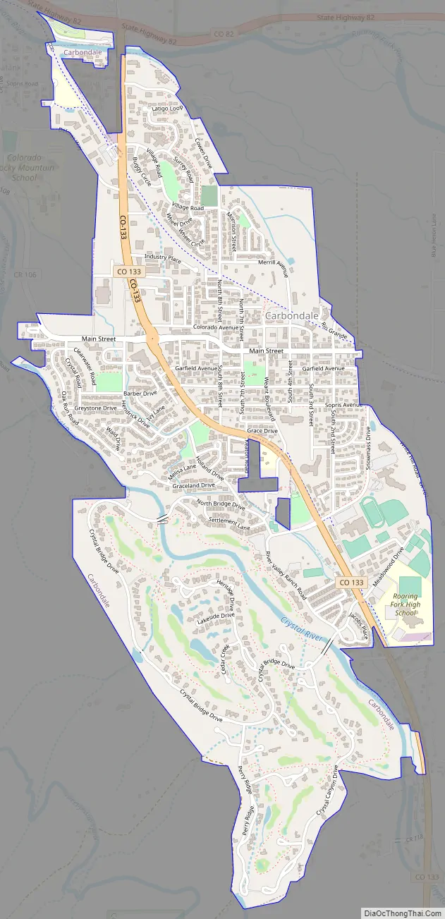
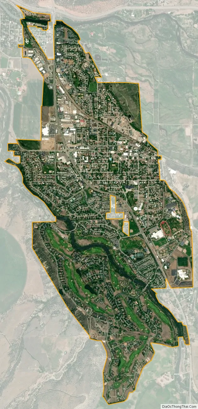
Carbondale city Satellite Map
Geography
At the 2020 United States Census, the town had a total area of 1,294 acres (5.237 km), all of it land.
See also
Map of Colorado State and its subdivision:- Adams
- Alamosa
- Arapahoe
- Archuleta
- Baca
- Bent
- Boulder
- Broomfield
- Chaffee
- Cheyenne
- Clear Creek
- Conejos
- Costilla
- Crowley
- Custer
- Delta
- Denver
- Dolores
- Douglas
- Eagle
- El Paso
- Elbert
- Fremont
- Garfield
- Gilpin
- Grand
- Gunnison
- Hinsdale
- Huerfano
- Jackson
- Jefferson
- Kiowa
- Kit Carson
- La Plata
- Lake
- Larimer
- Las Animas
- Lincoln
- Logan
- Mesa
- Mineral
- Moffat
- Montezuma
- Montrose
- Morgan
- Otero
- Ouray
- Park
- Phillips
- Pitkin
- Prowers
- Pueblo
- Rio Blanco
- Rio Grande
- Routt
- Saguache
- San Juan
- San Miguel
- Sedgwick
- Summit
- Teller
- Washington
- Weld
- Yuma
- Alabama
- Alaska
- Arizona
- Arkansas
- California
- Colorado
- Connecticut
- Delaware
- District of Columbia
- Florida
- Georgia
- Hawaii
- Idaho
- Illinois
- Indiana
- Iowa
- Kansas
- Kentucky
- Louisiana
- Maine
- Maryland
- Massachusetts
- Michigan
- Minnesota
- Mississippi
- Missouri
- Montana
- Nebraska
- Nevada
- New Hampshire
- New Jersey
- New Mexico
- New York
- North Carolina
- North Dakota
- Ohio
- Oklahoma
- Oregon
- Pennsylvania
- Rhode Island
- South Carolina
- South Dakota
- Tennessee
- Texas
- Utah
- Vermont
- Virginia
- Washington
- West Virginia
- Wisconsin
- Wyoming