Battlement Mesa is a census-designated place (CDP) and post office in and governed by Garfield County, Colorado, United States. The CDP is a part of the Glenwood Springs, CO Micropolitan Statistical Area. The Battlement Mesa post office has the ZIP Codes 81635 and 81636 (for post office boxes). At the United States Census 2020, the population of the Battlement Mesa CDP was 5,438. The Battlement Mesa Metropolitan District provides services.
| Name: | Battlement Mesa CDP |
|---|---|
| LSAD Code: | 57 |
| LSAD Description: | CDP (suffix) |
| State: | Colorado |
| County: | Garfield County |
| Elevation: | 5,837 ft (1,779 m) |
| Total Area: | 11.684 sq mi (30.261 km²) |
| Land Area: | 11.459 sq mi (29.678 km²) |
| Water Area: | 0.225 sq mi (0.583 km²) |
| Total Population: | 5,438 |
| Population Density: | 470/sq mi (180/km²) |
| ZIP code: | 81635 and 81636 |
| Area code: | 970 |
| FIPS code: | 0805120 |
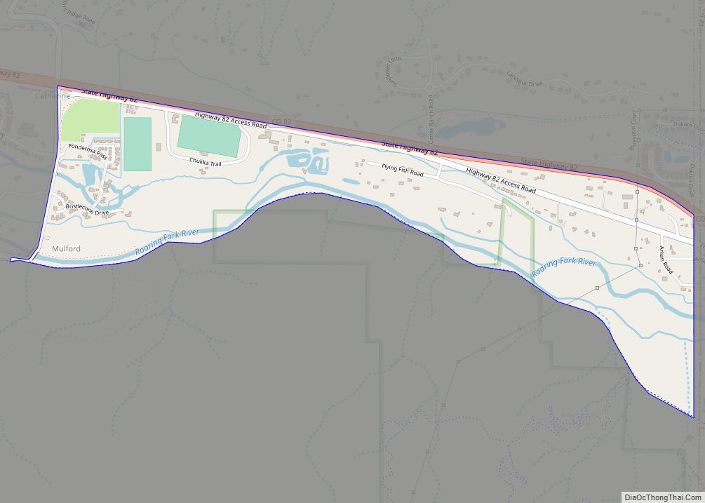
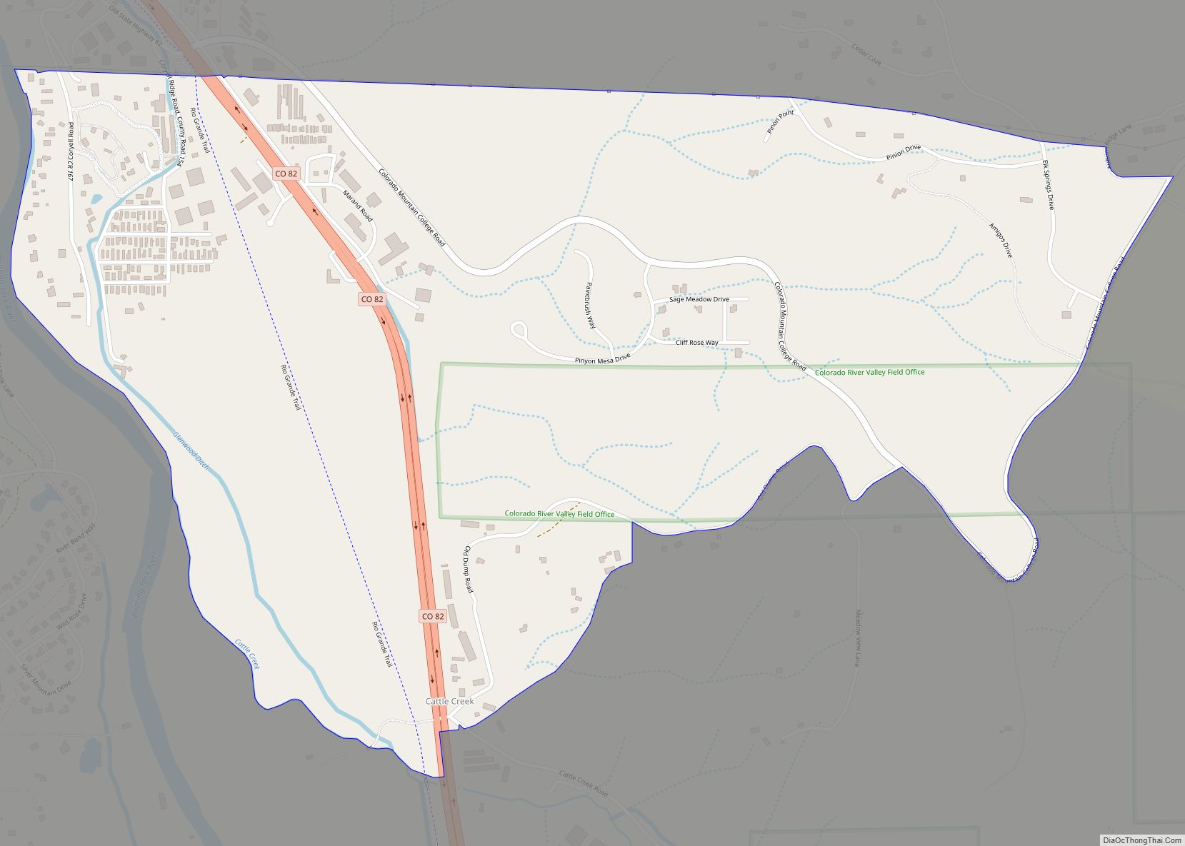
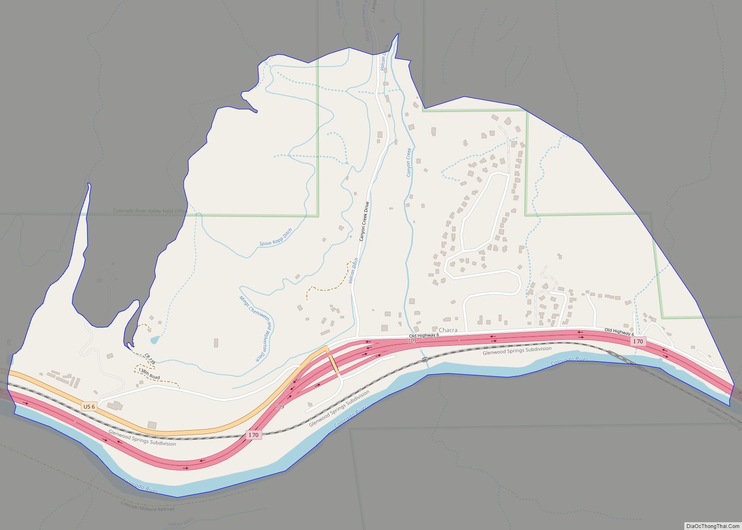
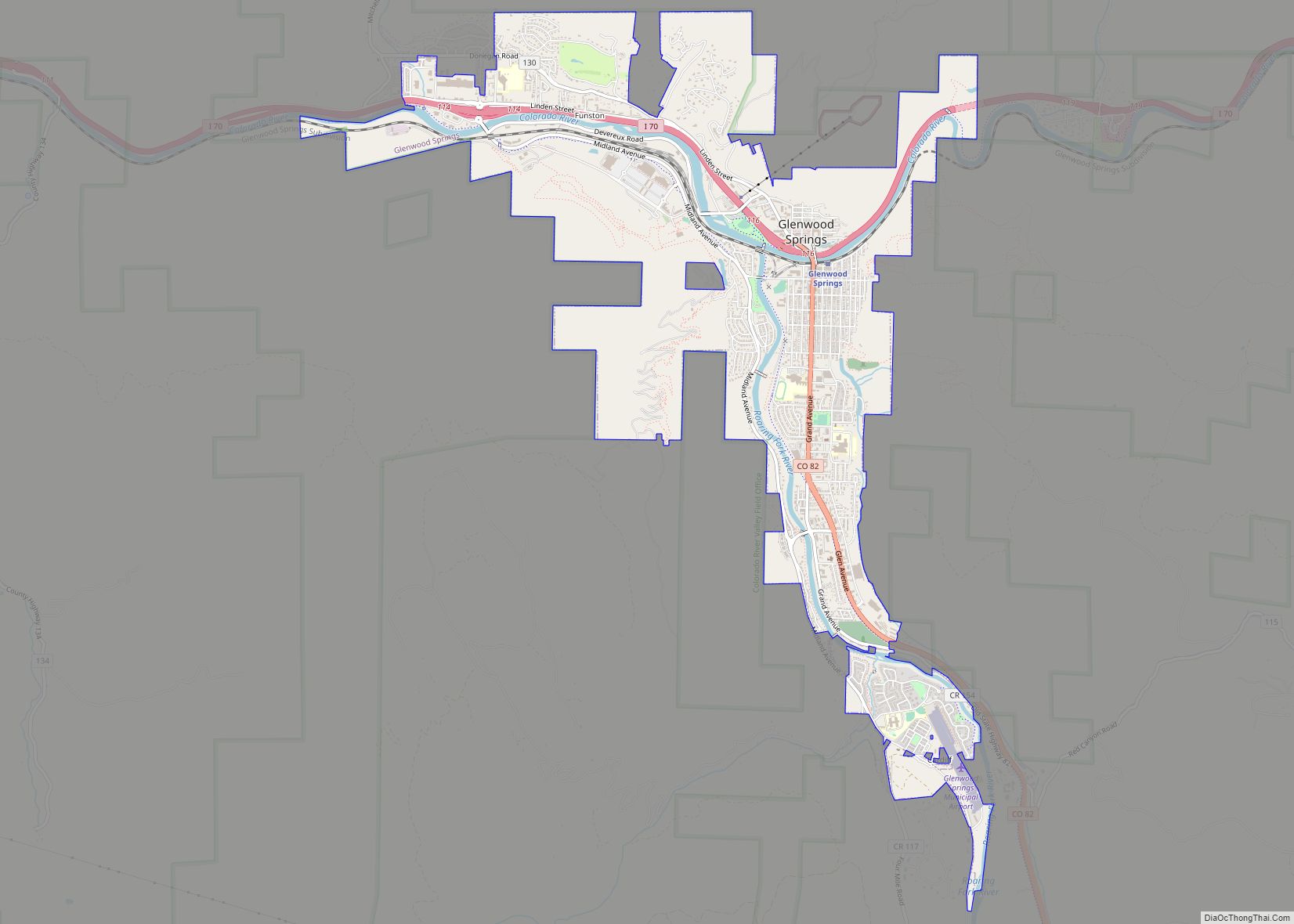
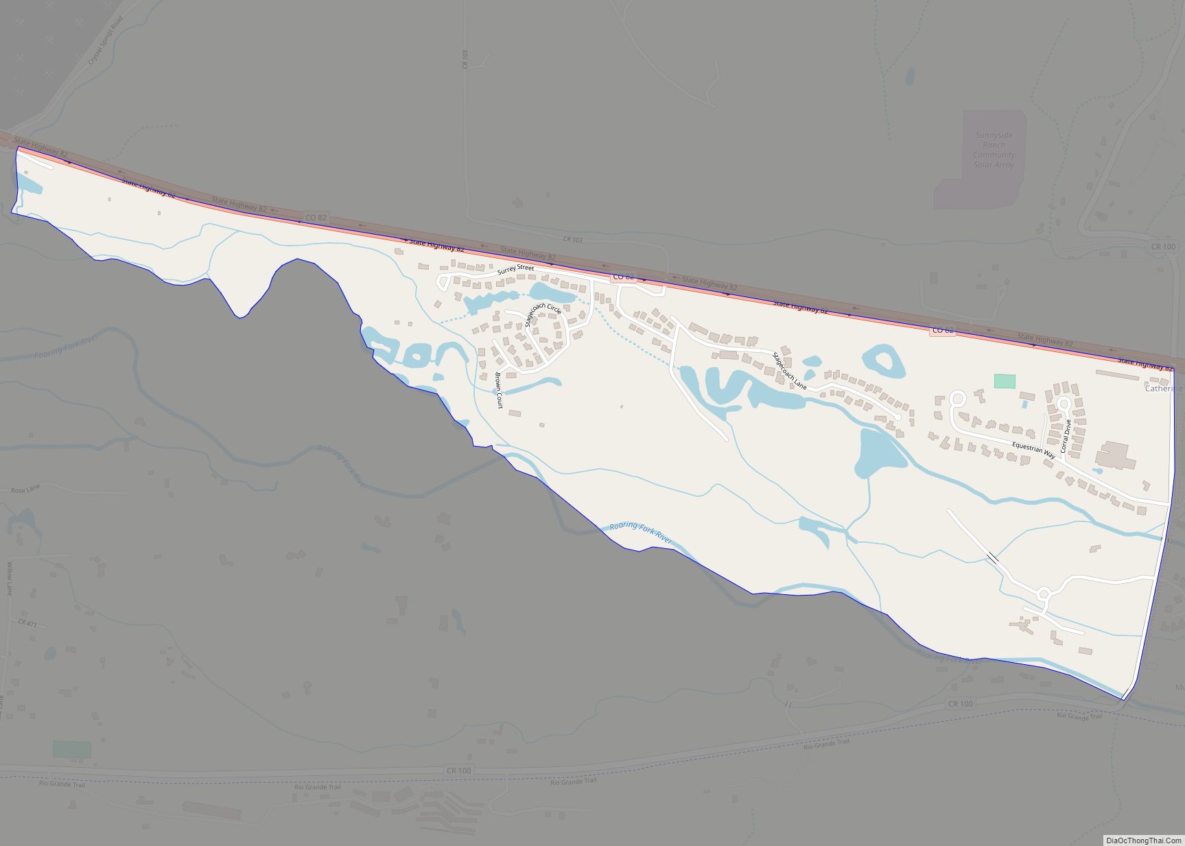
Online Interactive Map
Click on ![]() to view map in "full screen" mode.
to view map in "full screen" mode.
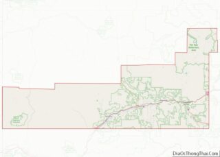
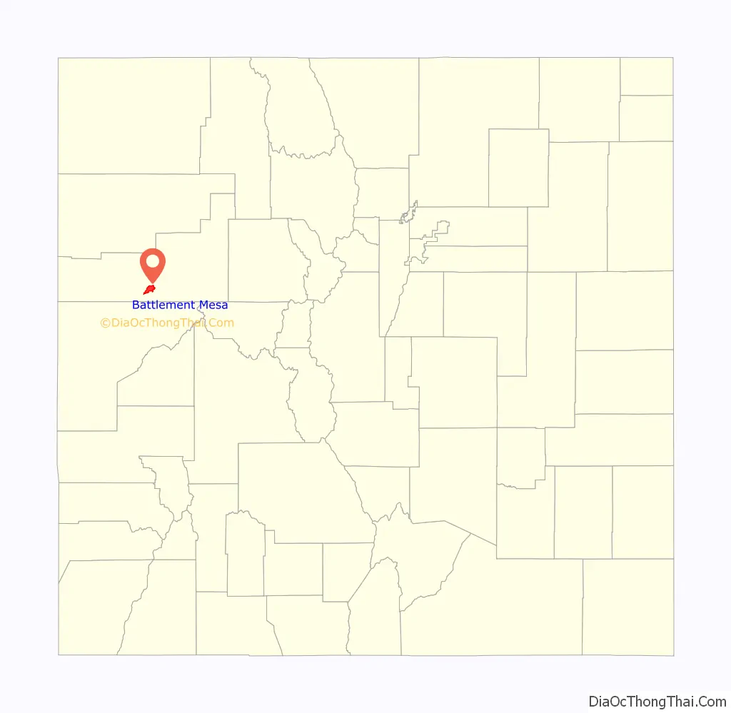
Battlement Mesa location map. Where is Battlement Mesa CDP?

History
The community was first developed by an oil company as a residence for its workers in the expectation that the rising price of oil would make shale oil extraction economically viable. When adjusted oil prices fell, the housing estate was left as a stranded asset, and the oil company marketed it to retirees in conjunction with a real estate firm.
Battlement Mesa Schoolhouse
The Battlement Mesa Schoolhouse, located at 7201 300 Road, is listed on the National Register of Historic Places. The rear portion of the building was built in 1897 with stone from a local quarry. The front portion was added in 1907, also using stone from the same quarry. By the late 1940s, the building was no longer used as a schoolhouse but was used for community gatherings and events. However, the local population declined, and the schoolhouse fell into disuse and was looted and vandalized. In 2003, the State Historical Fund awarded a grant to The Grand Valley Historical Society to restore the school building.
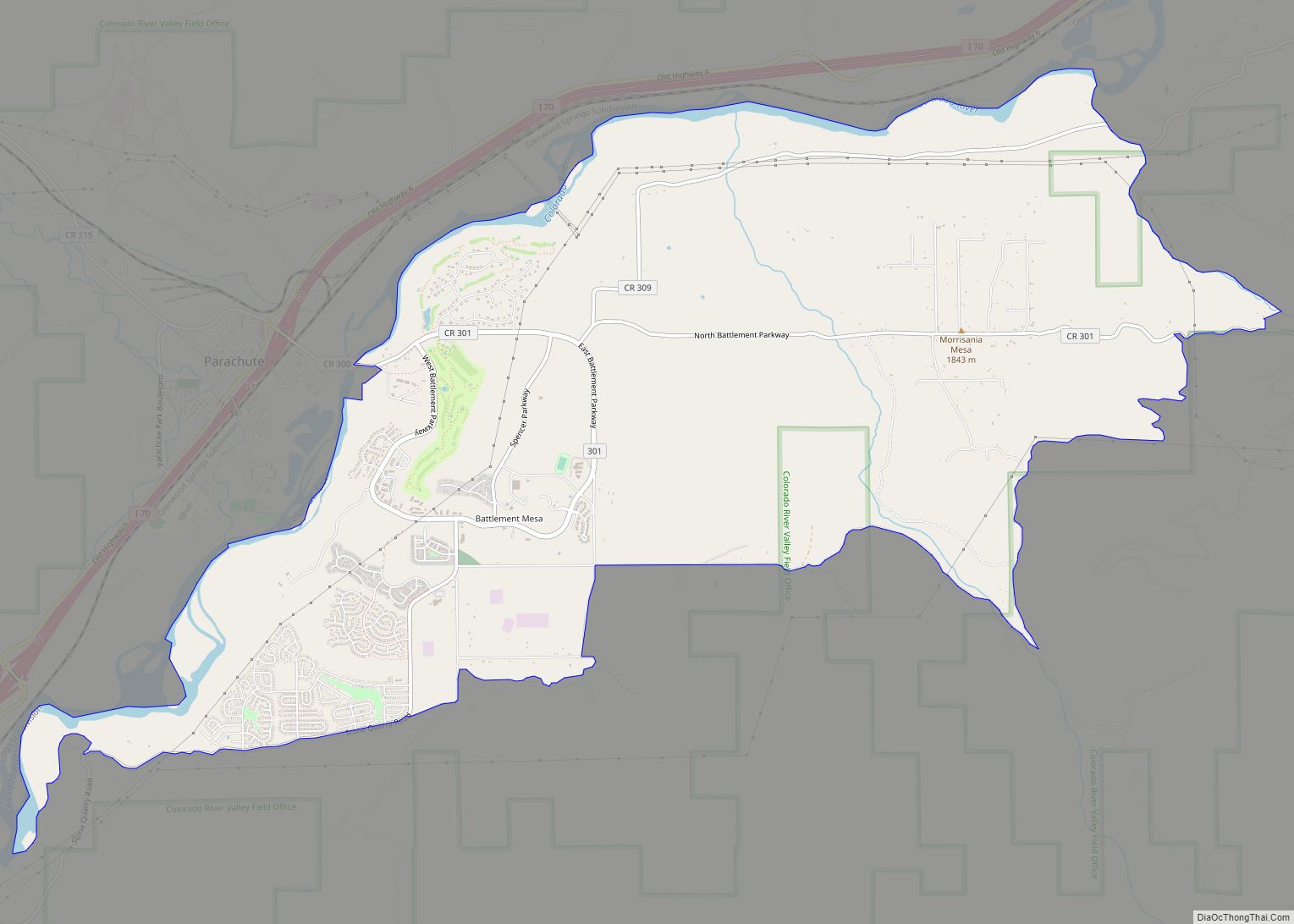
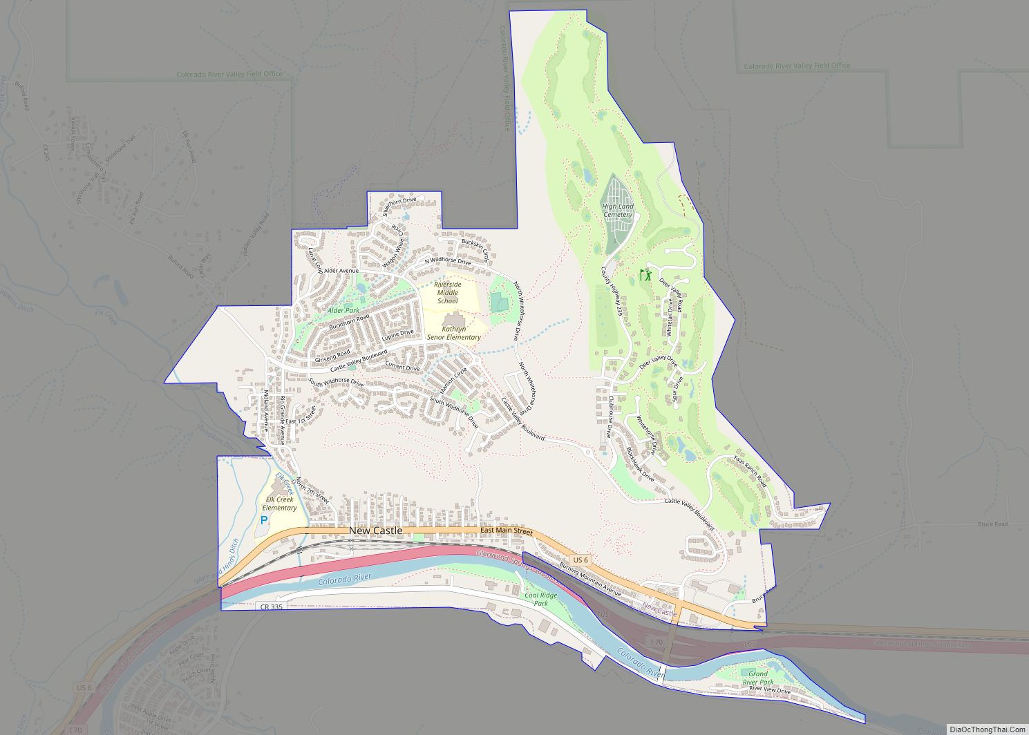
Battlement Mesa Road Map

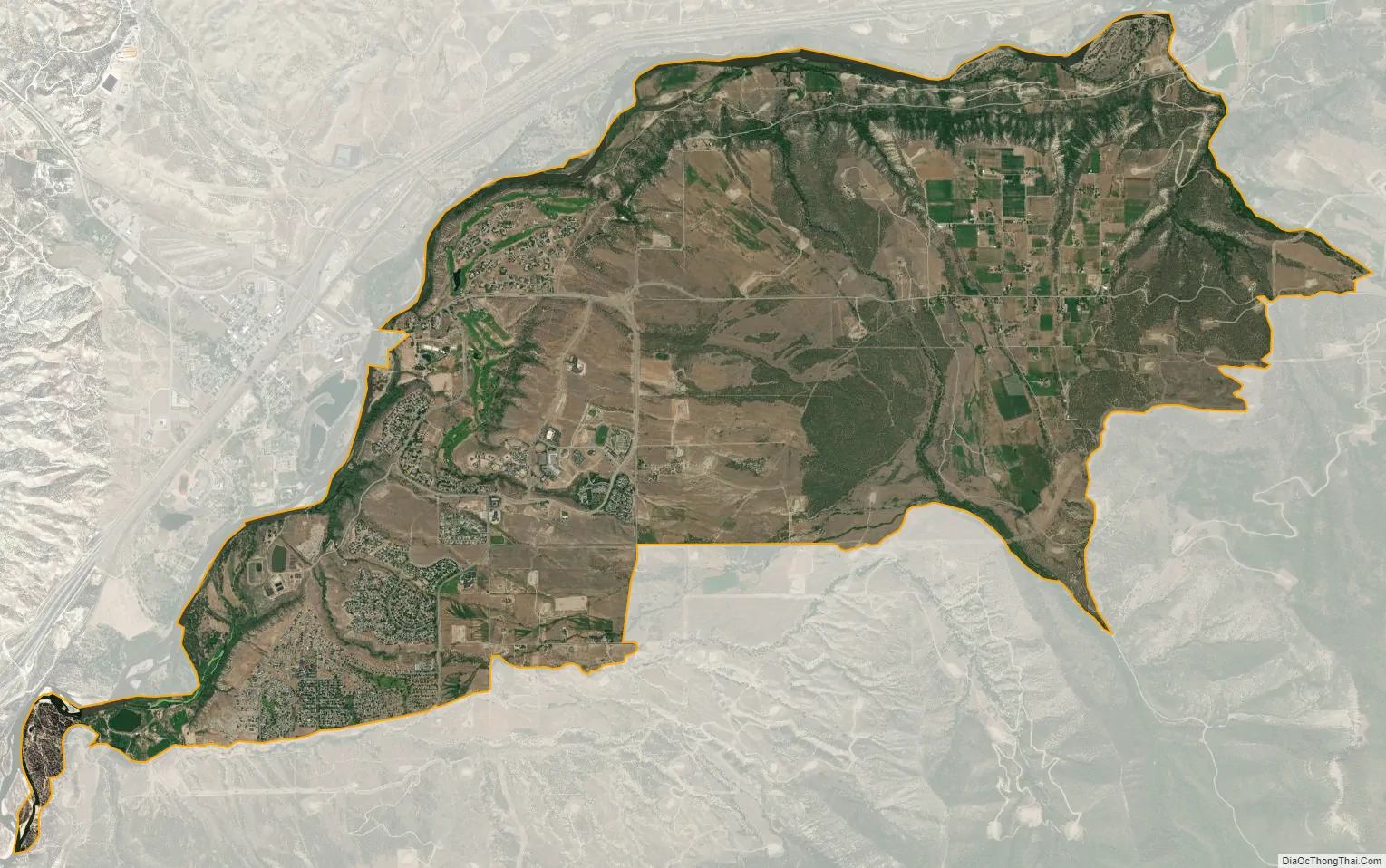
Battlement Mesa city Satellite Map
Geography
Battlement Mesa is located in Garfield County on the south side of the Colorado River. It is bordered to the northwest, across the river, by the town of Parachute. Interstate 70 passes through Parachute, providing access to Battlement Mesa from Exit 75. I-70 leads east 42 miles (68 km) to Glenwood Springs, the Garfield County seat, and southwest 45 miles (72 km) to Grand Junction. Denver is 200 miles (320 km) east via I-70.
The Battlement Mesa CDP has an area of 7,478 acres (30.261 km), including 144 acres (0.583 km) of water.
Climate
This climatic region is typified by large seasonal temperature differences, with warm to hot summers and cold (sometimes severely cold) winters. According to the Köppen Climate Classification system, Battlement Mesa has a humid continental climate, abbreviated “Dfb” on climate maps.
See also
Map of Colorado State and its subdivision:- Adams
- Alamosa
- Arapahoe
- Archuleta
- Baca
- Bent
- Boulder
- Broomfield
- Chaffee
- Cheyenne
- Clear Creek
- Conejos
- Costilla
- Crowley
- Custer
- Delta
- Denver
- Dolores
- Douglas
- Eagle
- El Paso
- Elbert
- Fremont
- Garfield
- Gilpin
- Grand
- Gunnison
- Hinsdale
- Huerfano
- Jackson
- Jefferson
- Kiowa
- Kit Carson
- La Plata
- Lake
- Larimer
- Las Animas
- Lincoln
- Logan
- Mesa
- Mineral
- Moffat
- Montezuma
- Montrose
- Morgan
- Otero
- Ouray
- Park
- Phillips
- Pitkin
- Prowers
- Pueblo
- Rio Blanco
- Rio Grande
- Routt
- Saguache
- San Juan
- San Miguel
- Sedgwick
- Summit
- Teller
- Washington
- Weld
- Yuma
- Alabama
- Alaska
- Arizona
- Arkansas
- California
- Colorado
- Connecticut
- Delaware
- District of Columbia
- Florida
- Georgia
- Hawaii
- Idaho
- Illinois
- Indiana
- Iowa
- Kansas
- Kentucky
- Louisiana
- Maine
- Maryland
- Massachusetts
- Michigan
- Minnesota
- Mississippi
- Missouri
- Montana
- Nebraska
- Nevada
- New Hampshire
- New Jersey
- New Mexico
- New York
- North Carolina
- North Dakota
- Ohio
- Oklahoma
- Oregon
- Pennsylvania
- Rhode Island
- South Carolina
- South Dakota
- Tennessee
- Texas
- Utah
- Vermont
- Virginia
- Washington
- West Virginia
- Wisconsin
- Wyoming