The Town of Carbonate is a ghost town located in Garfield County, Colorado, United States. In 2014, property owners voted to reactivate the town government despite having no year-round residents since 1890.
| Name: | Carbonate town |
|---|---|
| LSAD Code: | 43 |
| LSAD Description: | town (suffix) |
| State: | Colorado |
| County: | Garfield County |
| Founded: | 1879 |
| Incorporated: | April 13, 1883 |
| Elevation: | 10,925 ft (3,330 m) |
| Total Area: | 1.006 sq mi (2.605 km²) |
| Land Area: | 0.992 sq mi (2.569 km²) |
| Water Area: | 0.014 sq mi (0.036 km²) |
| Total Population: | 0 |
| FIPS code: | 0812080 |
Online Interactive Map
Click on ![]() to view map in "full screen" mode.
to view map in "full screen" mode.
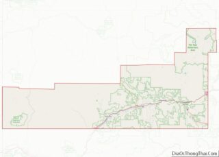
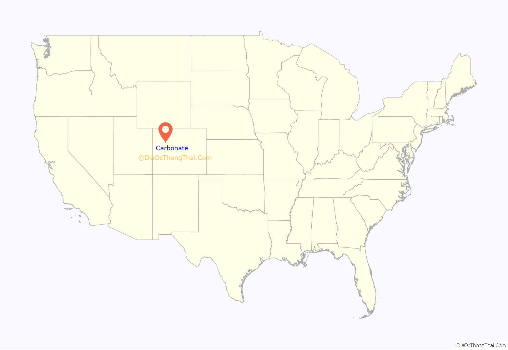
Carbonate location map. Where is Carbonate town?

History
Carbonate was founded as a silver camp in 1879. The Town of Carbonate incorporated on April 13, 1883. The Carbonate post office opened and Carbonate became the original Garfield county seat later that year. But Carbonate’s location high in the Flat Tops mountains made access difficult. After a few months, the Garfield county seat was moved to Glenwood Hot Springs. As the silver played out, miners departed. The Carbonate post office closed in 1886, and by the 1890 United States Census, no residents remained.
On November 4, 2014, Carbonate property owners voted 9 to 0 to reactivate the town’s government in hopes of future development. The town has summer visitors but no permanent residents, making it the only active incorporated municipality in Colorado with no permanent population.
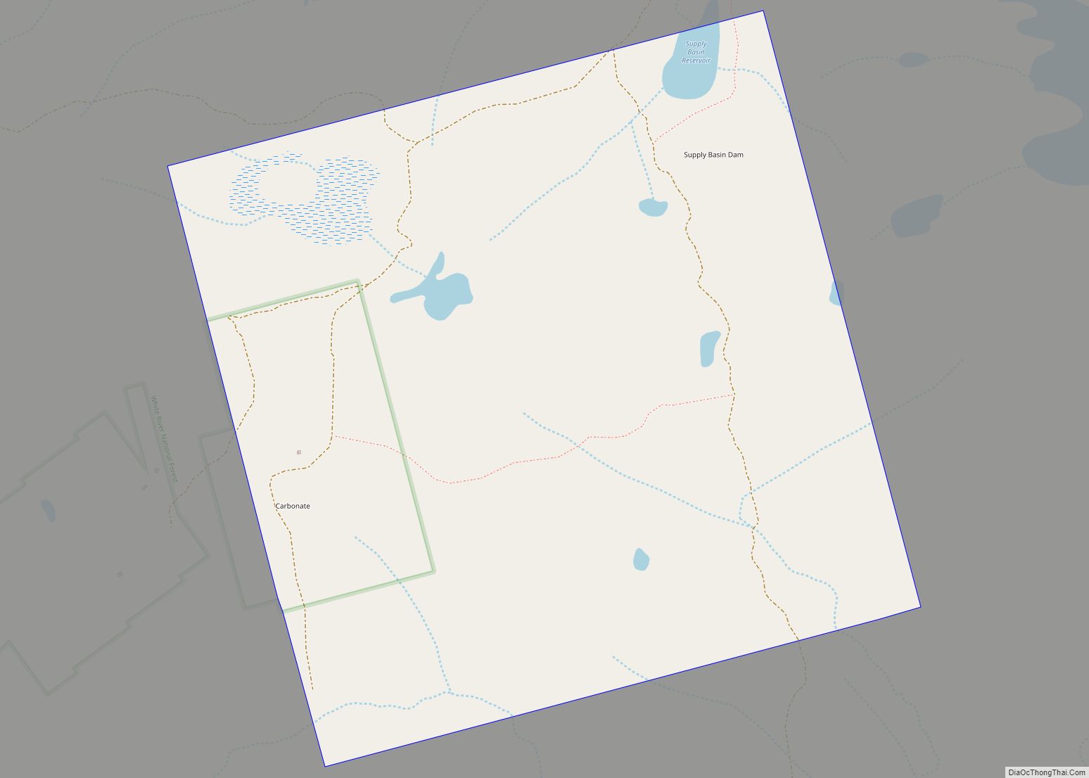
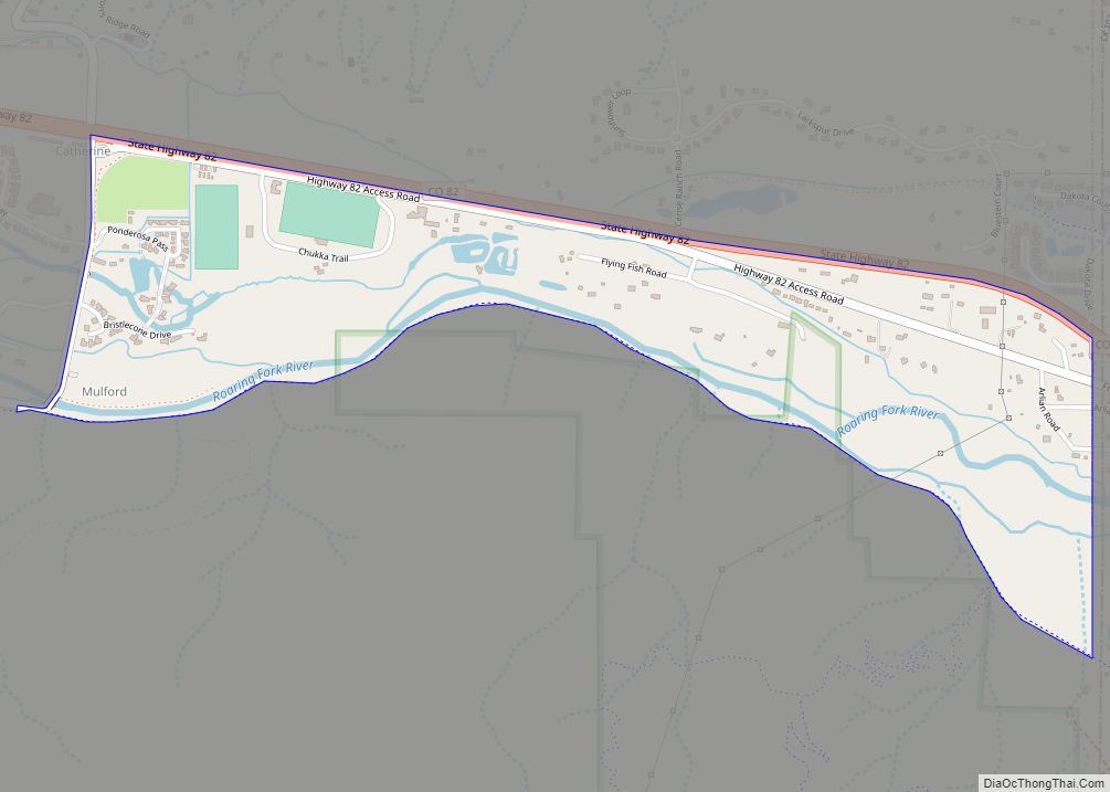
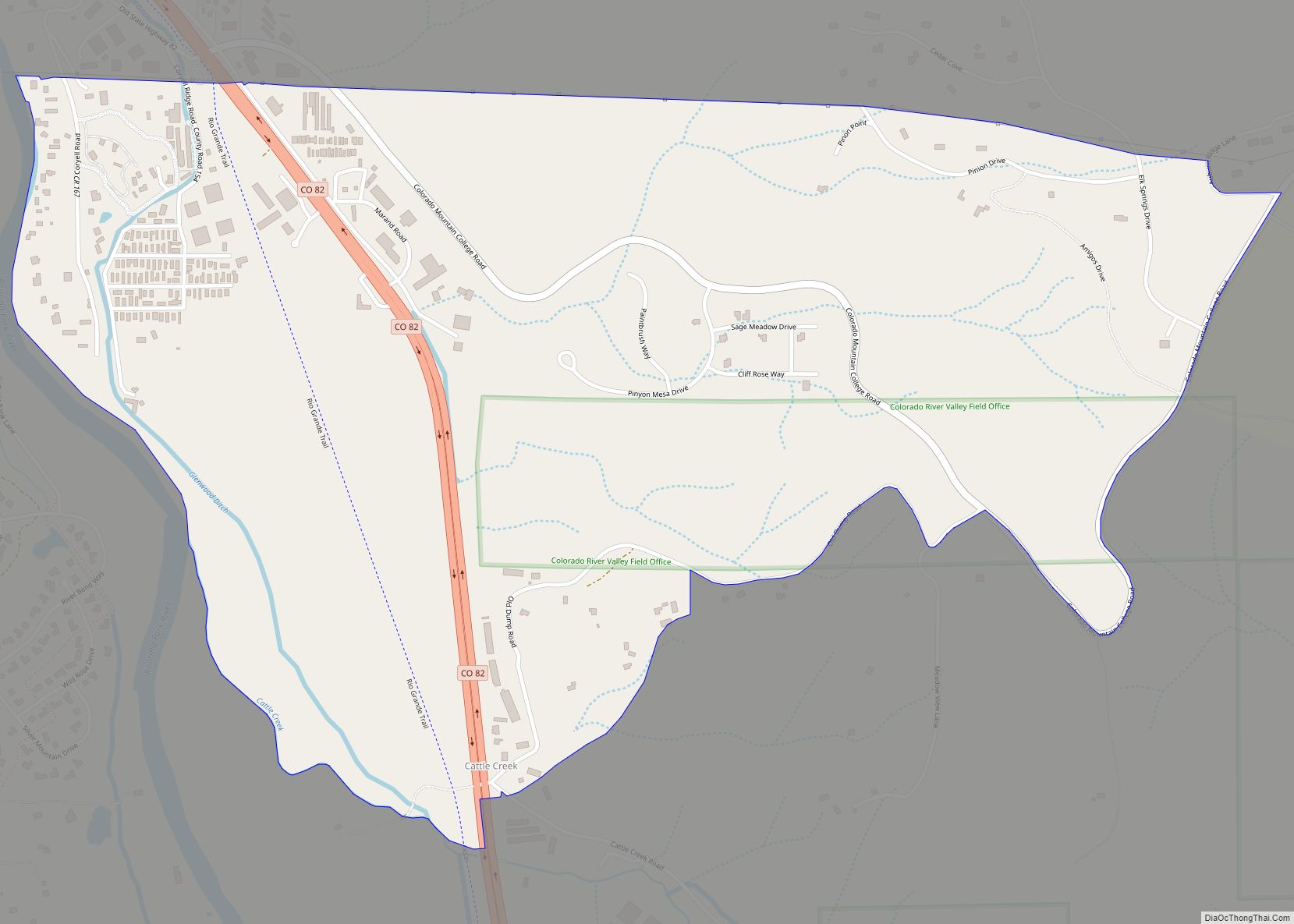
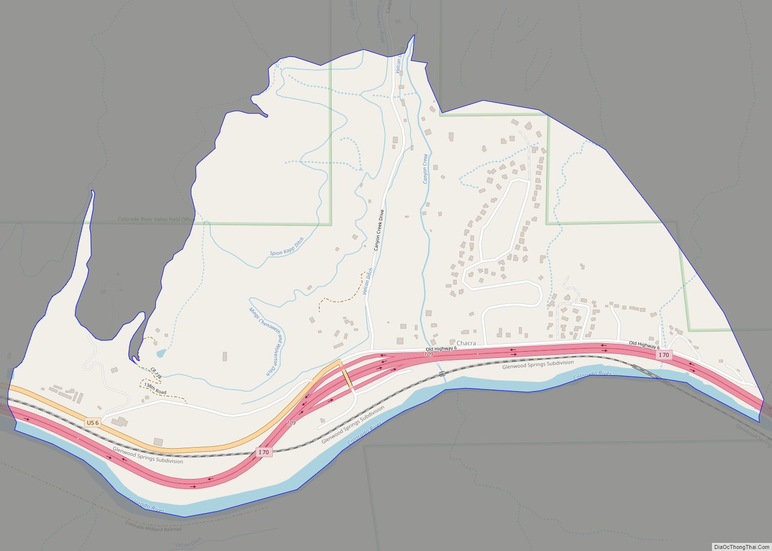
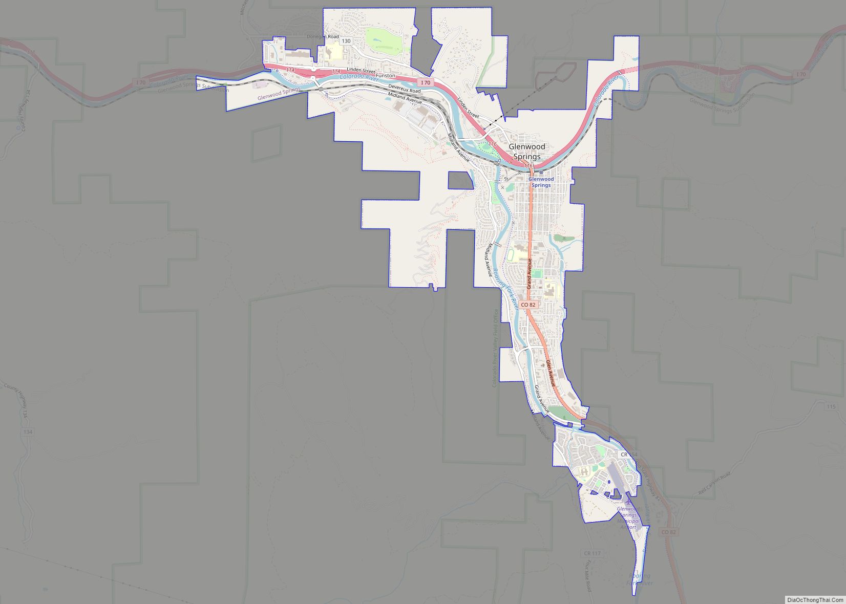
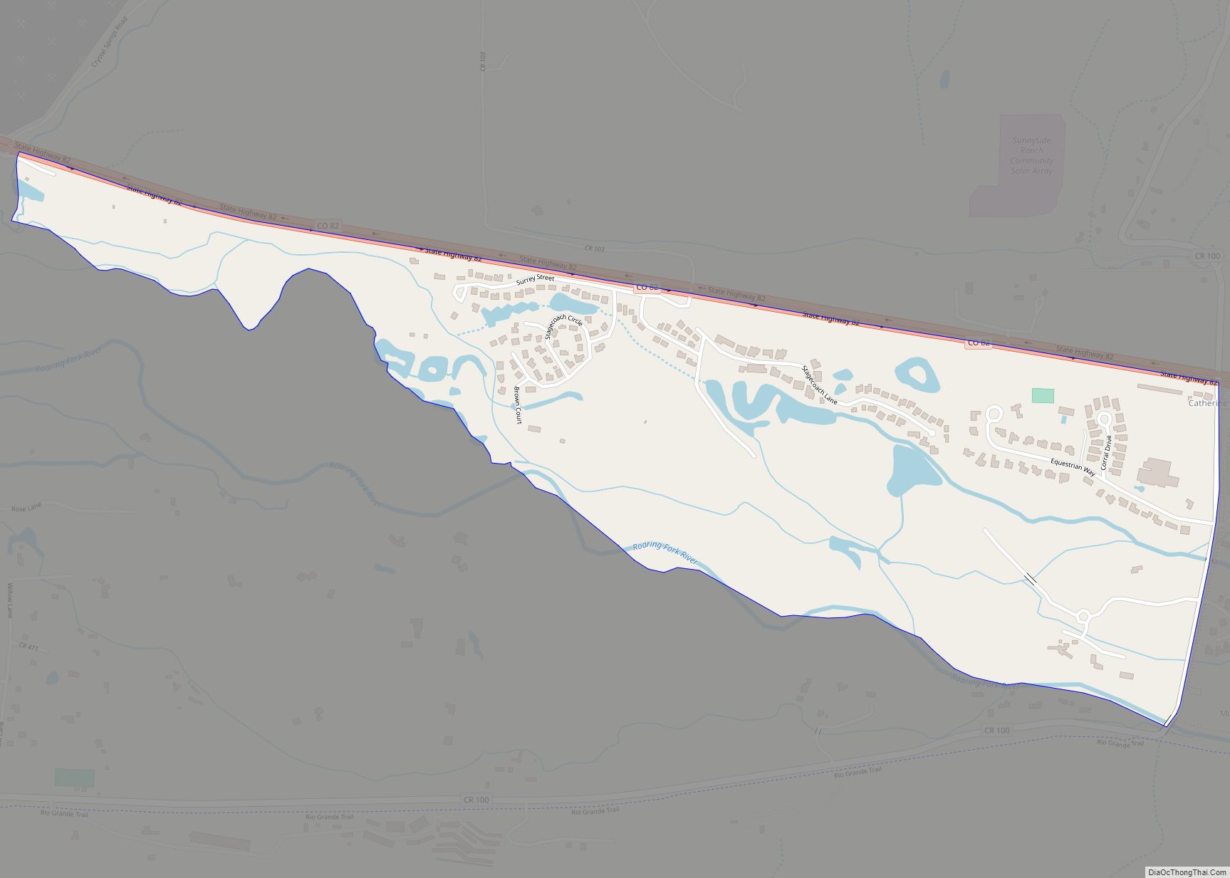
Carbonate Road Map

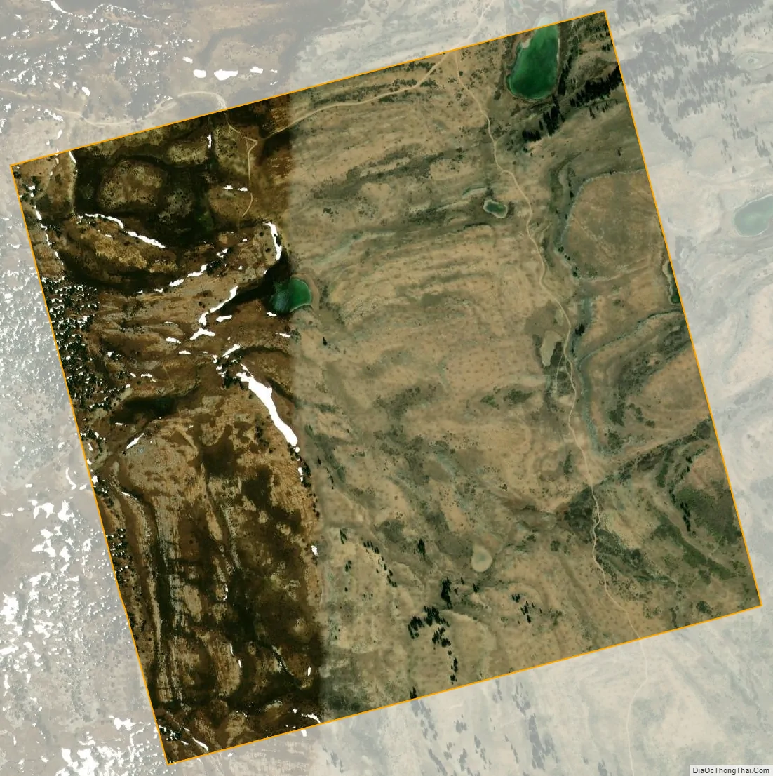
Carbonate city Satellite Map
Geography
Carbonate is located at 39°44′35″N 107°20′48″W / 39.74306°N 107.34667°W / 39.74306; -107.34667 (Carbonate) (39.7430376,-107.3467219), at an elevation of 10,925 feet (3,330 m) in the Flat Tops mountains, 13.4 miles (21.5 km) north of Glenwood Springs.
At the 2020 United States Census, the town had a total area of 644 acres (2.605 km) including 8.9 acres (0.036 km) of water.
See also
Map of Colorado State and its subdivision:- Adams
- Alamosa
- Arapahoe
- Archuleta
- Baca
- Bent
- Boulder
- Broomfield
- Chaffee
- Cheyenne
- Clear Creek
- Conejos
- Costilla
- Crowley
- Custer
- Delta
- Denver
- Dolores
- Douglas
- Eagle
- El Paso
- Elbert
- Fremont
- Garfield
- Gilpin
- Grand
- Gunnison
- Hinsdale
- Huerfano
- Jackson
- Jefferson
- Kiowa
- Kit Carson
- La Plata
- Lake
- Larimer
- Las Animas
- Lincoln
- Logan
- Mesa
- Mineral
- Moffat
- Montezuma
- Montrose
- Morgan
- Otero
- Ouray
- Park
- Phillips
- Pitkin
- Prowers
- Pueblo
- Rio Blanco
- Rio Grande
- Routt
- Saguache
- San Juan
- San Miguel
- Sedgwick
- Summit
- Teller
- Washington
- Weld
- Yuma
- Alabama
- Alaska
- Arizona
- Arkansas
- California
- Colorado
- Connecticut
- Delaware
- District of Columbia
- Florida
- Georgia
- Hawaii
- Idaho
- Illinois
- Indiana
- Iowa
- Kansas
- Kentucky
- Louisiana
- Maine
- Maryland
- Massachusetts
- Michigan
- Minnesota
- Mississippi
- Missouri
- Montana
- Nebraska
- Nevada
- New Hampshire
- New Jersey
- New Mexico
- New York
- North Carolina
- North Dakota
- Ohio
- Oklahoma
- Oregon
- Pennsylvania
- Rhode Island
- South Carolina
- South Dakota
- Tennessee
- Texas
- Utah
- Vermont
- Virginia
- Washington
- West Virginia
- Wisconsin
- Wyoming