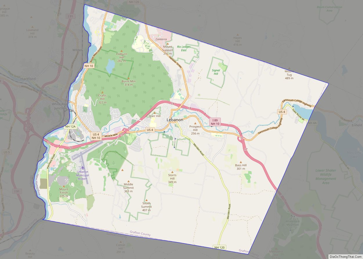
Lebanon locally /ˈlɛbənən/ is the only city in Grafton County, New Hampshire, United States. The population was 14,282 at the 2020 census, up from 13,151 at the 2010 census. Lebanon is in western New Hampshire, south of Hanover, near the Connecticut River. It is the home to Dartmouth–Hitchcock Medical Center and Dartmouth College’s Geisel School of Medicine, together comprising the largest medical facility between Boston, Massachusetts, and Burlington, Vermont.
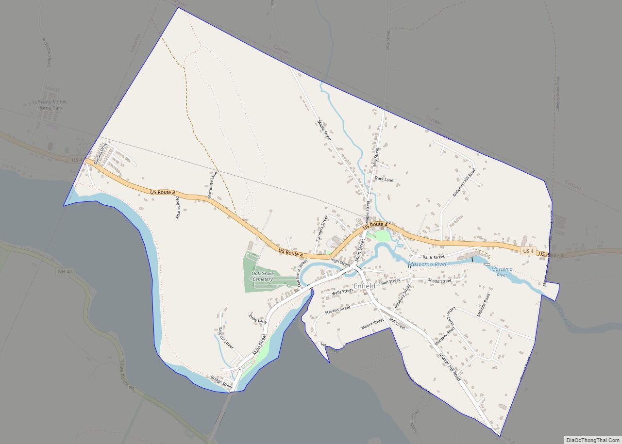
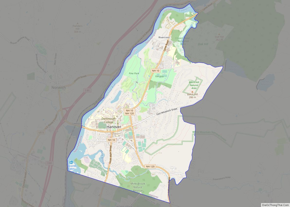
Together with Hanover, New Hampshire, and White River Junction, Vermont, Lebanon is at the center of a Micropolitan Statistical Area, encompassing nearly 30 towns along the upper Connecticut River valley.
| Name: | Lebanon city |
|---|---|
| LSAD Code: | 25 |
| LSAD Description: | city (suffix) |
| State: | New Hampshire |
| County: | Grafton County |
| Incorporated: | 1761 |
| Elevation: | 581 ft (177 m) |
| Total Area: | 41.27 sq mi (106.90 km²) |
| Land Area: | 40.30 sq mi (104.39 km²) |
| Water Area: | 0.97 sq mi (2.51 km²) 2.35% |
| Total Population: | 14,282 |
| Population Density: | 354.35/sq mi (136.81/km²) |
| ZIP code: | 03756, 03766 (Lebanon) 03784 (West Lebanon) |
| Area code: | 603 |
| FIPS code: | 3341300 |
| GNISfeature ID: | 0867976 |
| Website: | lebanonnh.gov |
Online Interactive Map
Click on ![]() to view map in "full screen" mode.
to view map in "full screen" mode.
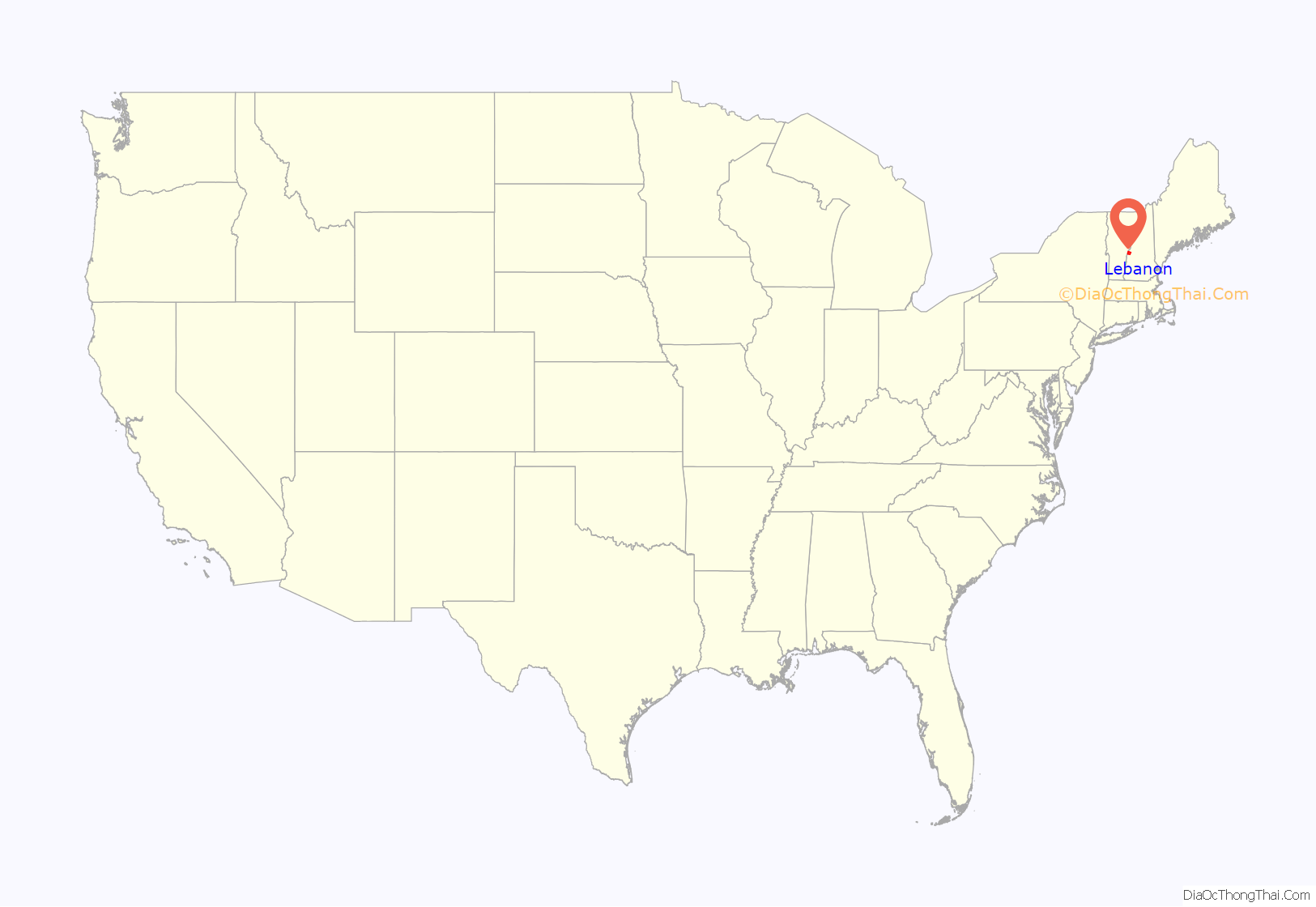
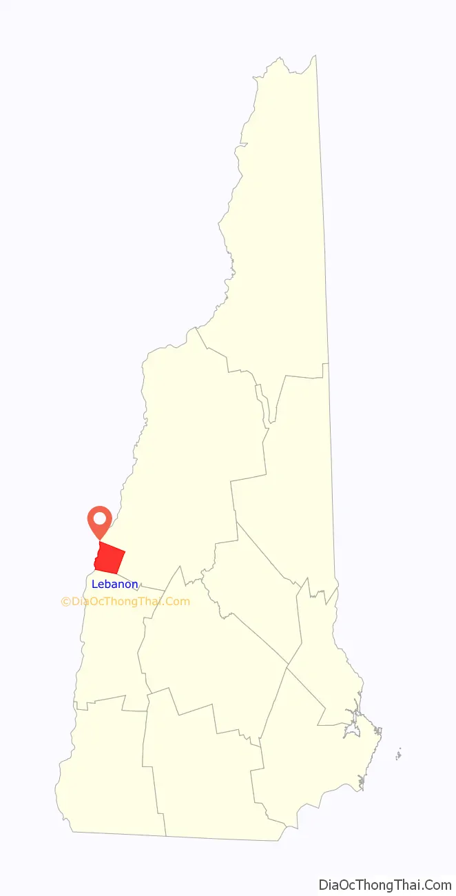
Lebanon location map. Where is Lebanon city?
History
Lebanon was chartered as a town by colonial governor Benning Wentworth on July 4, 1761, one of 16 along the Connecticut River. It was named for Lebanon, Connecticut, from where many early settlers had come or would come, including the Rev. Eleazar Wheelock, who arrived in 1770 and founded Dartmouth College. Lebanon, Connecticut, was the original home of Moor’s Charity School, the antecedent of Dartmouth College.
Early settlement concentrated along the Connecticut River in what is now West Lebanon, and in the Mascoma Lake region near Enfield. In the mid-19th century, a mill district developed at falls on the Mascoma River. Industries included, at various times, furniture mills, a tannery, several machine shops, a woolen textile mill, and a clothing factory. In the mid-19th century, this district attracted many French workers from Canada‘s Quebec province. This became the center of town, although West Lebanon grew into a railroad hub with a separate identity after lines entered from Boston. This rail center would become known as “Westboro” after two trains collided when West Lebanon was mistaken for Lebanon.
The mill district, like the railroad, declined into the 1950s and 1960s. The town suffered two major fires; the second, in 1964, destroyed a large portion of the old mill district. Reconstruction resulted in a controversial urban renewal project featuring a closed-off district, called The Mall, built to replace the destroyed Hanover Street area. Partly in defiance of economic decline, and partly to counter a movement by West Lebanon to declare itself an independent town, Lebanon re-incorporated as a city in 1958.
The routing of Interstates 89 and 91 through Lebanon and nearby White River Junction, Vermont, in addition to the growth of Dartmouth College, led to the area’s economic revival. The former mill town now has a mixed economy based on education, medical services, high-technology and retail. Just south of the village of West Lebanon, a major shopping district has sprung up at the intersection of Route 12A and I-89. Lebanon has undertaken improvements to its recreational facilities, including miles of hiking trails, a municipal ski area, a swimming pool and several sports fields.
In 1991, the Dartmouth–Hitchcock Medical Center, along with most departments of Dartmouth Medical School, moved from Hanover to a new campus just south of the Lebanon-Hanover town line. A number of medical and high-tech firms have located facilities near the medical center campus. TomTom, a leading worldwide developer of mapping databases, has its North American headquarters in Lebanon. Novo Nordisk and Microsoft also have major facilities here.
Old Town Hall in 1918
School Street c. 1910
Public Library c. 1910
Bank Street c. 1910
Lebanon Road Map
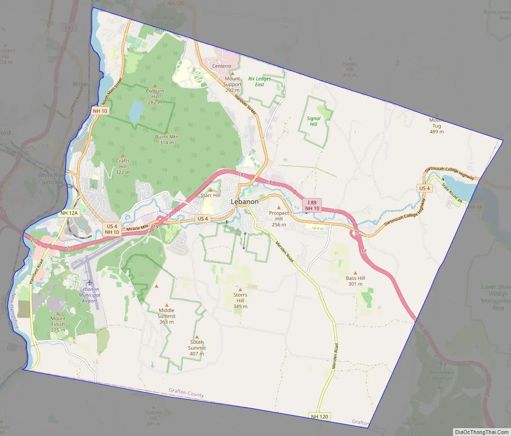
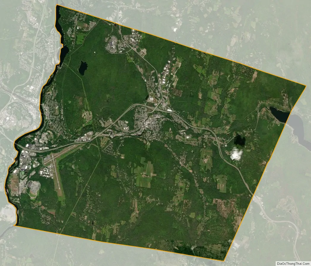
Lebanon city Satellite Map
Geography
According to the United States Census Bureau, the city has a total area of 41.3 square miles (106.9 km), of which 40.3 square miles (104.4 km) are land and 0.97 square miles (2.5 km) are water, comprising 2.35% of the city. The western boundary of Lebanon is the Connecticut River, which is also the state boundary with Vermont. The village of West Lebanon occupies the western part of the city, along the Connecticut River. Downtown Lebanon is 3 miles (5 km) to the east, along the Mascoma River, a tributary of the Connecticut. The city is fully within the Connecticut River watershed. The southern end of Moose Mountain is in the northeast. The highest point in Lebanon is the northern end of Shaker Mountain, at 1,657 feet (505 m) above sea level, on the eastern border of the city.
Climate
According to the Köppen Climate Classification system, Lebanon has a warm-summer humid continental climate, abbreviated “Dfb” on climate maps. The hottest temperature recorded in Lebanon was 99 °F (37.2 °C) on June 18, 1957 and July 20, 1977, while the coldest temperature recorded was −34 °F (−36.7 °C) on January 14, 1957.
See also
Map of New Hampshire State and its subdivision: Map of other states:- Alabama
- Alaska
- Arizona
- Arkansas
- California
- Colorado
- Connecticut
- Delaware
- District of Columbia
- Florida
- Georgia
- Hawaii
- Idaho
- Illinois
- Indiana
- Iowa
- Kansas
- Kentucky
- Louisiana
- Maine
- Maryland
- Massachusetts
- Michigan
- Minnesota
- Mississippi
- Missouri
- Montana
- Nebraska
- Nevada
- New Hampshire
- New Jersey
- New Mexico
- New York
- North Carolina
- North Dakota
- Ohio
- Oklahoma
- Oregon
- Pennsylvania
- Rhode Island
- South Carolina
- South Dakota
- Tennessee
- Texas
- Utah
- Vermont
- Virginia
- Washington
- West Virginia
- Wisconsin
- Wyoming