Bethlehem is a census-designated place (CDP) and the main village in the town of Bethlehem in Grafton County, New Hampshire, United States. The population of the CDP was 826 at the 2020 census, out of 2,484 in the entire town.
| Name: | Bethlehem CDP |
|---|---|
| LSAD Code: | 57 |
| LSAD Description: | CDP (suffix) |
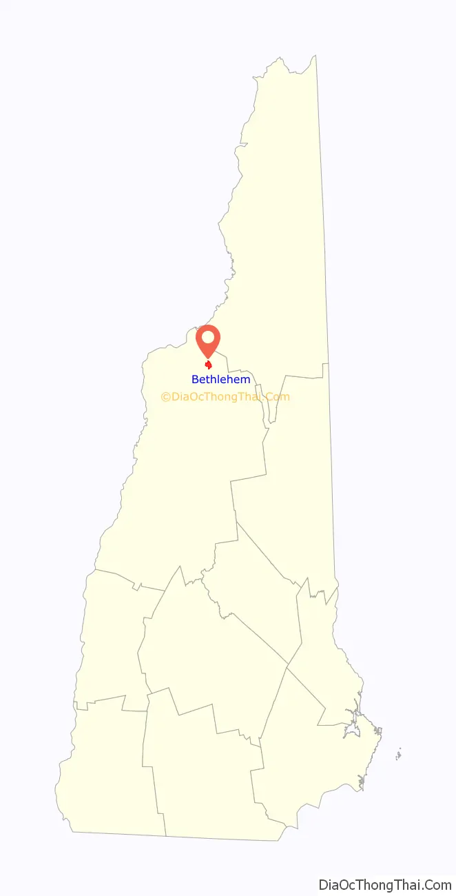
| State: | New Hampshire |
| County: | Grafton County |
| Elevation: | 1,426.5 ft (434.8 m) |
| Total Area: | 1.64 sq mi (4.24 km²) |
| Land Area: | 1.63 sq mi (4.23 km²) |
| Water Area: | 0.00 sq mi (0.01 km²) |
| Total Population: | 826 |
| Population Density: | 505.51/sq mi (195.15/km²) |
| ZIP code: | 03574 |
| Area code: | 603 |
| FIPS code: | 3305380 |
| GNISfeature ID: | 2629715 |
Online Interactive Map
Click on ![]() to view map in "full screen" mode.
to view map in "full screen" mode.
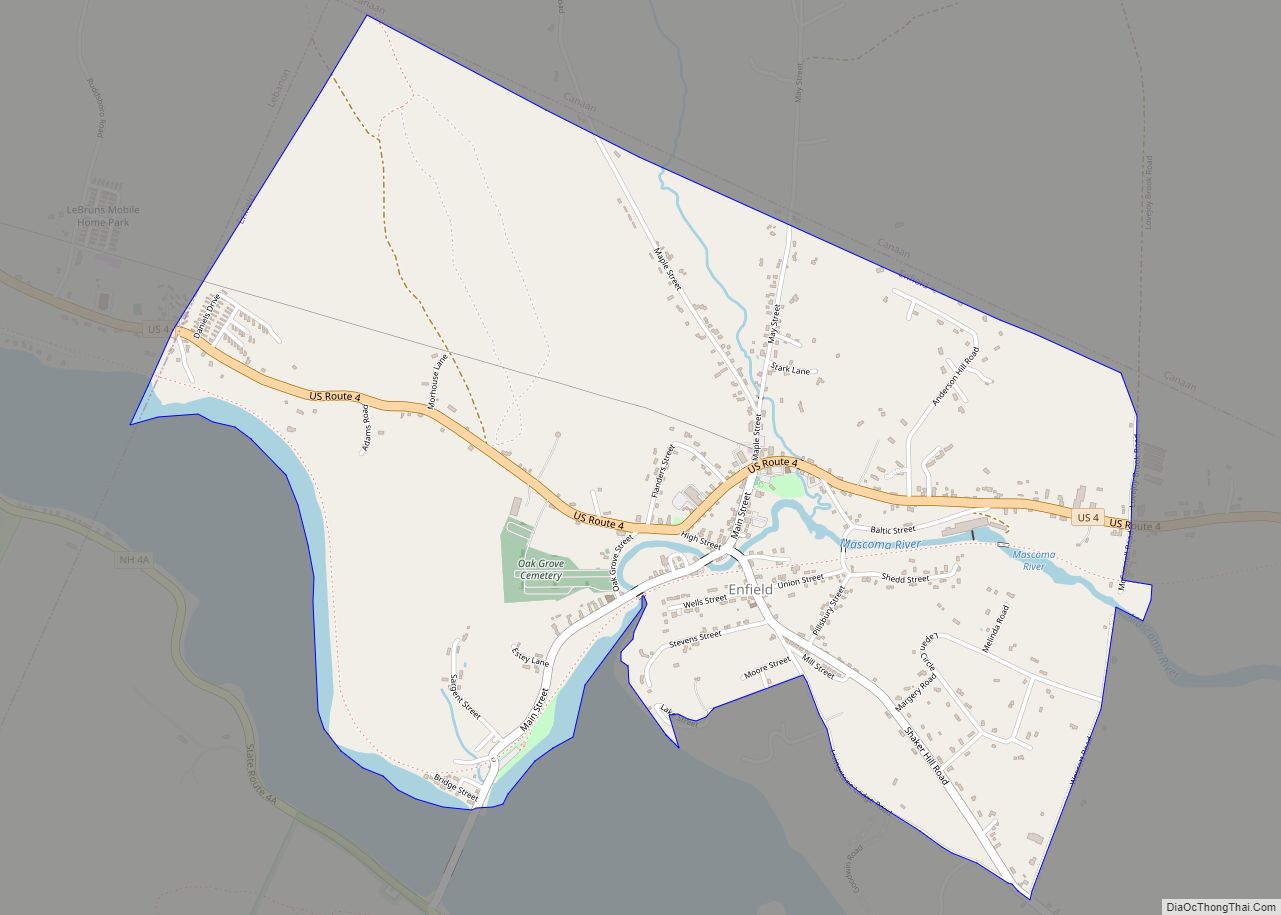
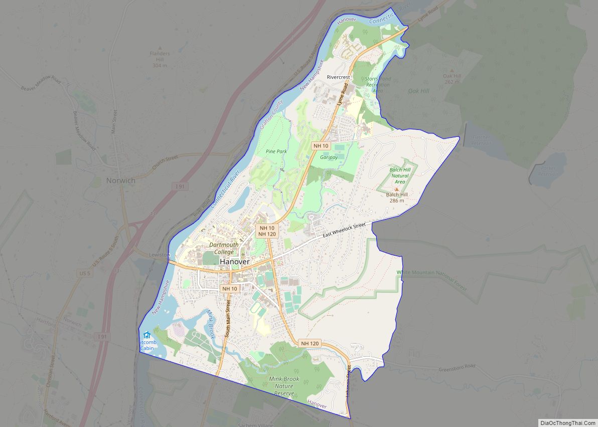
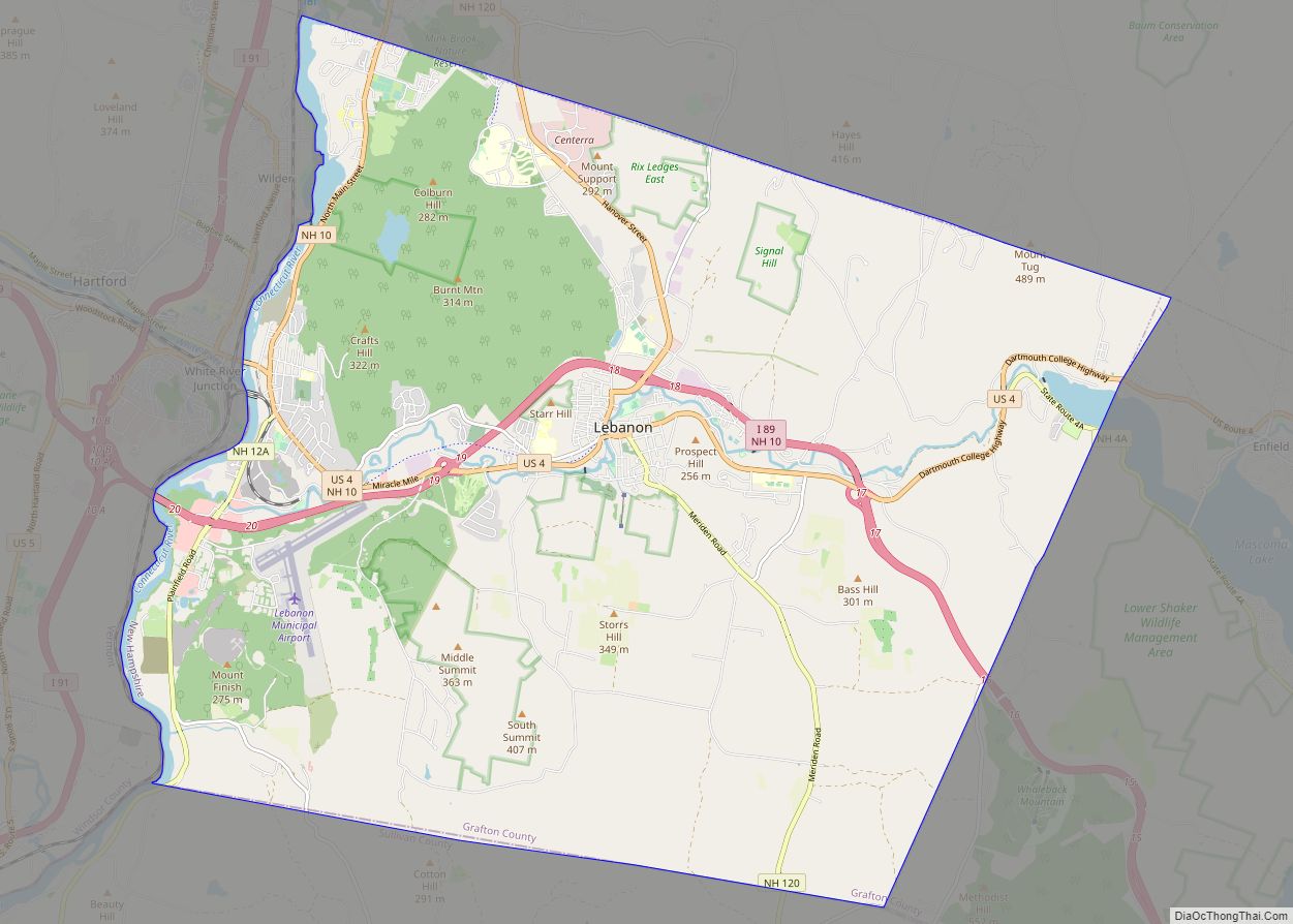
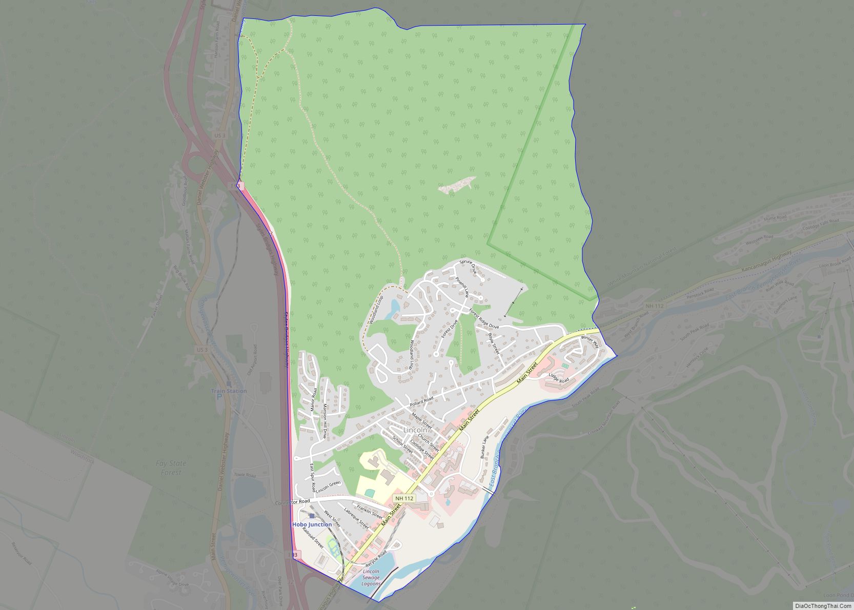
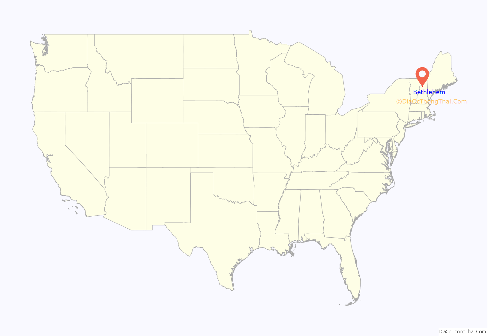
Bethlehem location map. Where is Bethlehem CDP?
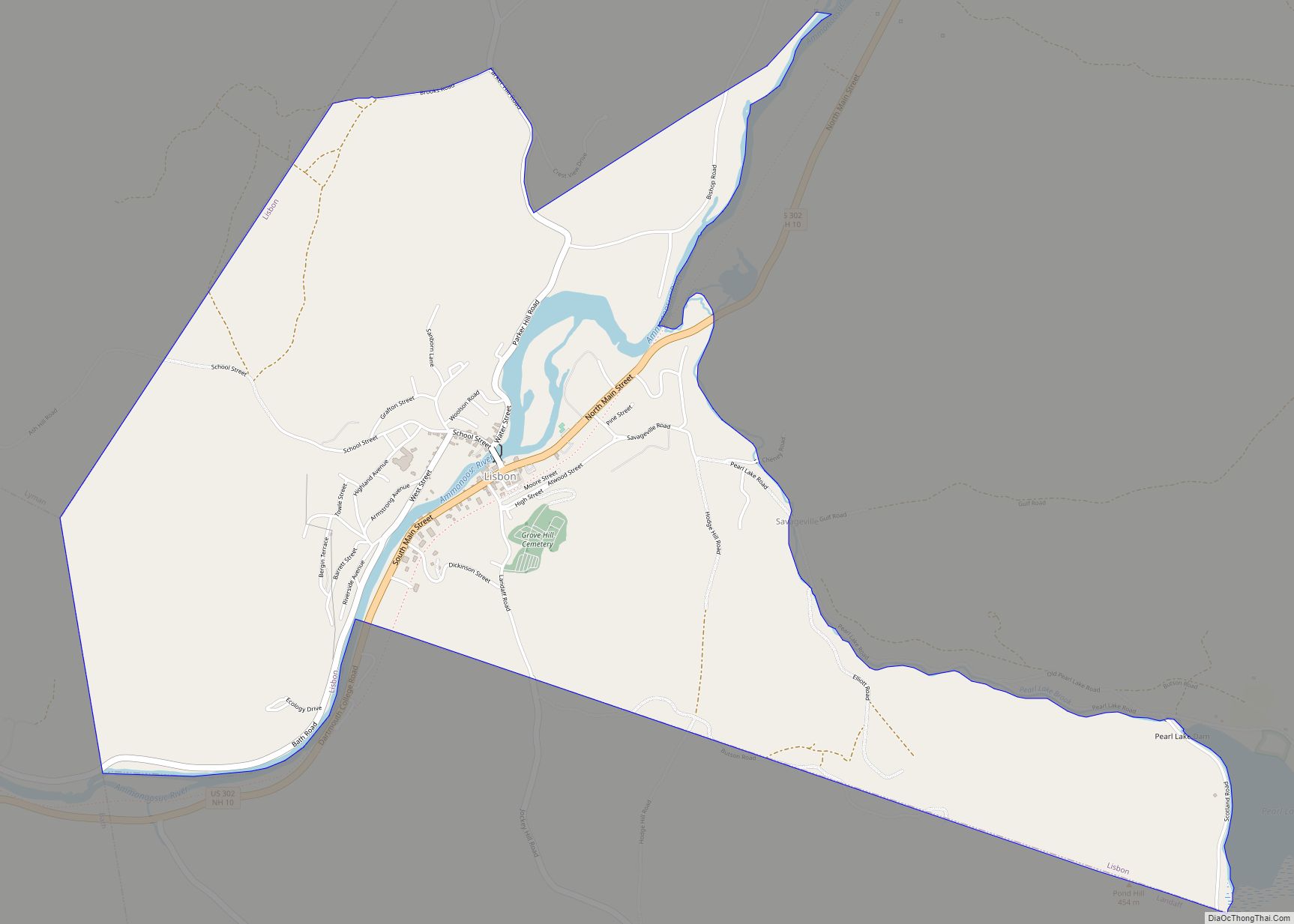
Bethlehem Road Map

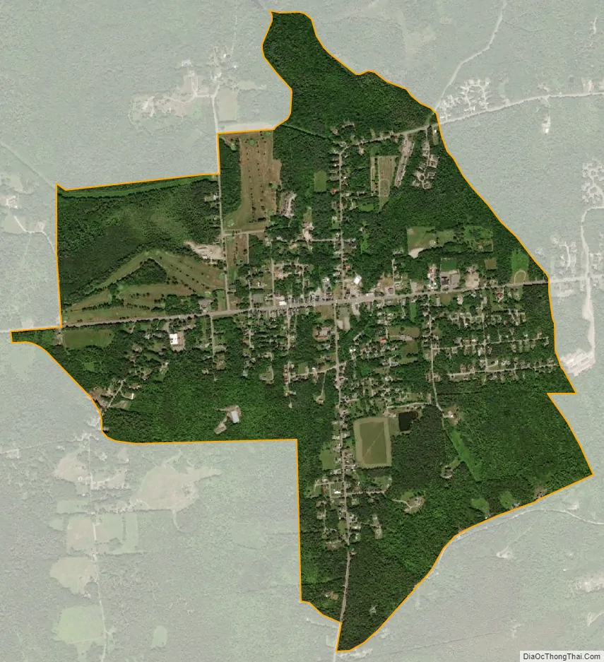
Bethlehem city Satellite Map
Geography
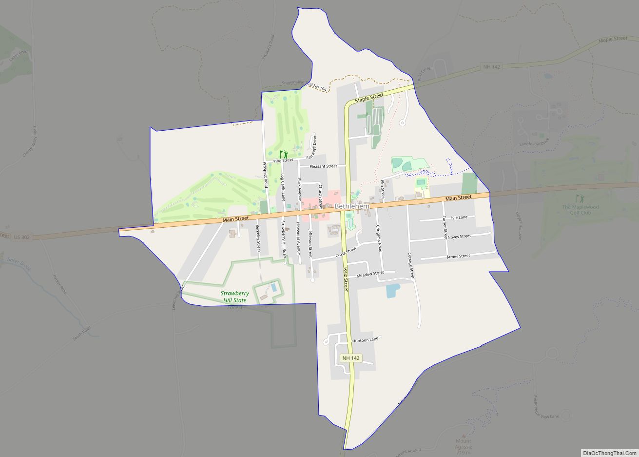
The CDP is in the western part of the town of Bethlehem, along U.S. Route 302 at the northern base of 2,370-foot (722.3 m) Mount Agassiz. US 302 leads east 8 miles (13 km) to Twin Mountain and west 5 miles (8 km) to Littleton. New Hampshire Route 142 crosses US 302 in the center of town, leading north 8 miles (13 km) to Whitefield and south 6 miles (10 km) to Franconia village.
From the center of the village, the CDP reaches west along US 302 as far as Valley View Lane, south along NH 142 to Mountain View Lane, east on US 302 past Turner Street and Ivie Lane, and north from NH 142 down Barrett Brook nearly to Prospect Road.
According to the U.S. Census Bureau, the Bethlehem CDP has a total area of 1.6 square miles (4.2 km), of which 2.3 acres (9,255 m), or 0.22%, are water.
See also
Map of New Hampshire State and its subdivision: Map of other states:- Alabama
- Alaska
- Arizona
- Arkansas
- California
- Colorado
- Connecticut
- Delaware
- District of Columbia
- Florida
- Georgia
- Hawaii
- Idaho
- Illinois
- Indiana
- Iowa
- Kansas
- Kentucky
- Louisiana
- Maine
- Maryland
- Massachusetts
- Michigan
- Minnesota
- Mississippi
- Missouri
- Montana
- Nebraska
- Nevada
- New Hampshire
- New Jersey
- New Mexico
- New York
- North Carolina
- North Dakota
- Ohio
- Oklahoma
- Oregon
- Pennsylvania
- Rhode Island
- South Carolina
- South Dakota
- Tennessee
- Texas
- Utah
- Vermont
- Virginia
- Washington
- West Virginia
- Wisconsin
- Wyoming