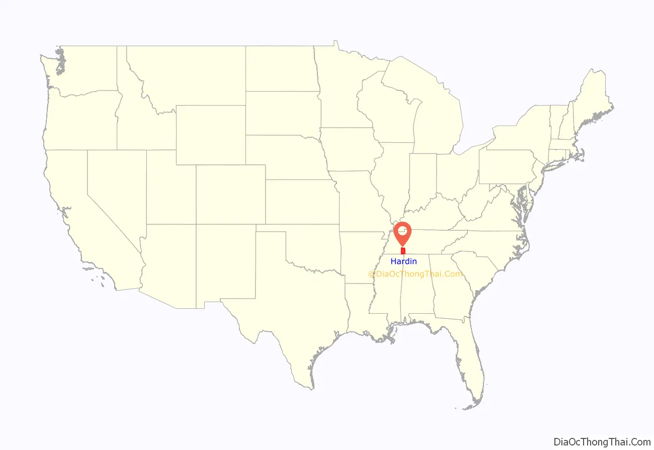
Hardin County is a county located in the U.S. state of Tennessee. As of the 2020 census, the population was 26,831. The county seat is Savannah. Hardin County is located north of and along the borders of Mississippi and Alabama. The county was founded in November 1819 and named posthumously for Col. Joseph Hardin, a Revolutionary War soldier and a legislative representative for the Province of North Carolina; the State of Franklin; and the Southwest Territory. Hardin County was the site of the Battle of Shiloh (also known as the Battle of Pittsburg Landing) during the Civil War.
| Name: | Hardin County |
|---|---|
| FIPS code: | 47-071 |
| State: | Tennessee |
| Founded: | 1819 |
| Named for: | Joseph Hardin, Sr. |
| Seat: | Savannah |
| Largest city: | Savannah |
| Total Area: | 596 sq mi (1,540 km²) |
| Land Area: | 577 sq mi (1,490 km²) |
| Total Population: | 26,831 |
| Population Density: | 45/sq mi (17/km²) |
| Time zone: | UTC−6 (Central) |
| Summer Time Zone (DST): | UTC−5 (CDT) |
Hardin County location map. Where is Hardin County?
History
The Hardin Expedition
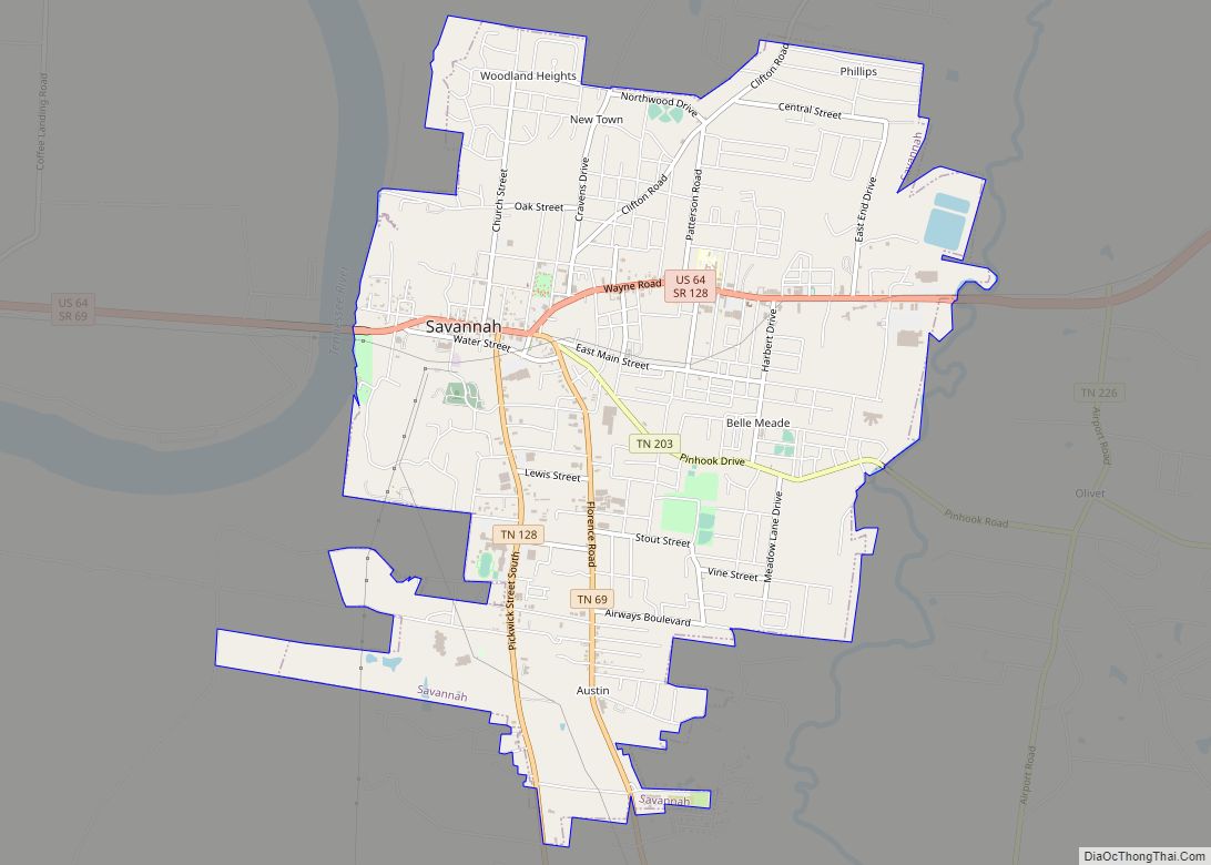
Two parties of settlers (totaling 26) struck out from Knoxville, Tennessee in late spring of 1816 bound for the general area which would eventually become Savannah, Tennessee. The first party, traveling by boat, came by way of the Tennessee River, landing in May at “the easteward curve of the Tennessee” [sic] at Cerro Gordo.
The second, and larger, party had traversed overland and encountered several delays. Upon the arrival of the second group, the parties finally rejoined at Johnson Creek, near present day Savannah. It was now July, and the pioneers set about the laying down of the first permanent settlement by non-Native Americans in the area.
This second party was led by Joseph Hardin, Jr., son of Col. Joseph Hardin who had, before his death, accumulated several land grants to the area as rewards for his Revolutionary War service. Joseph, Jr. was accompanied on the trip by his brother, James Hardin. James was the founder of what would become the first county seat, Hardinville. The settlement was created in 1817 on nearby Hardin’s Creek —on the site of what was later renamed Old Town, Tennessee. Both men executed land grants in the area. They had fought alongside their father in the war and had been likewise rewarded with their own land patents, as well as inheriting some of their father’s unclaimed grants.
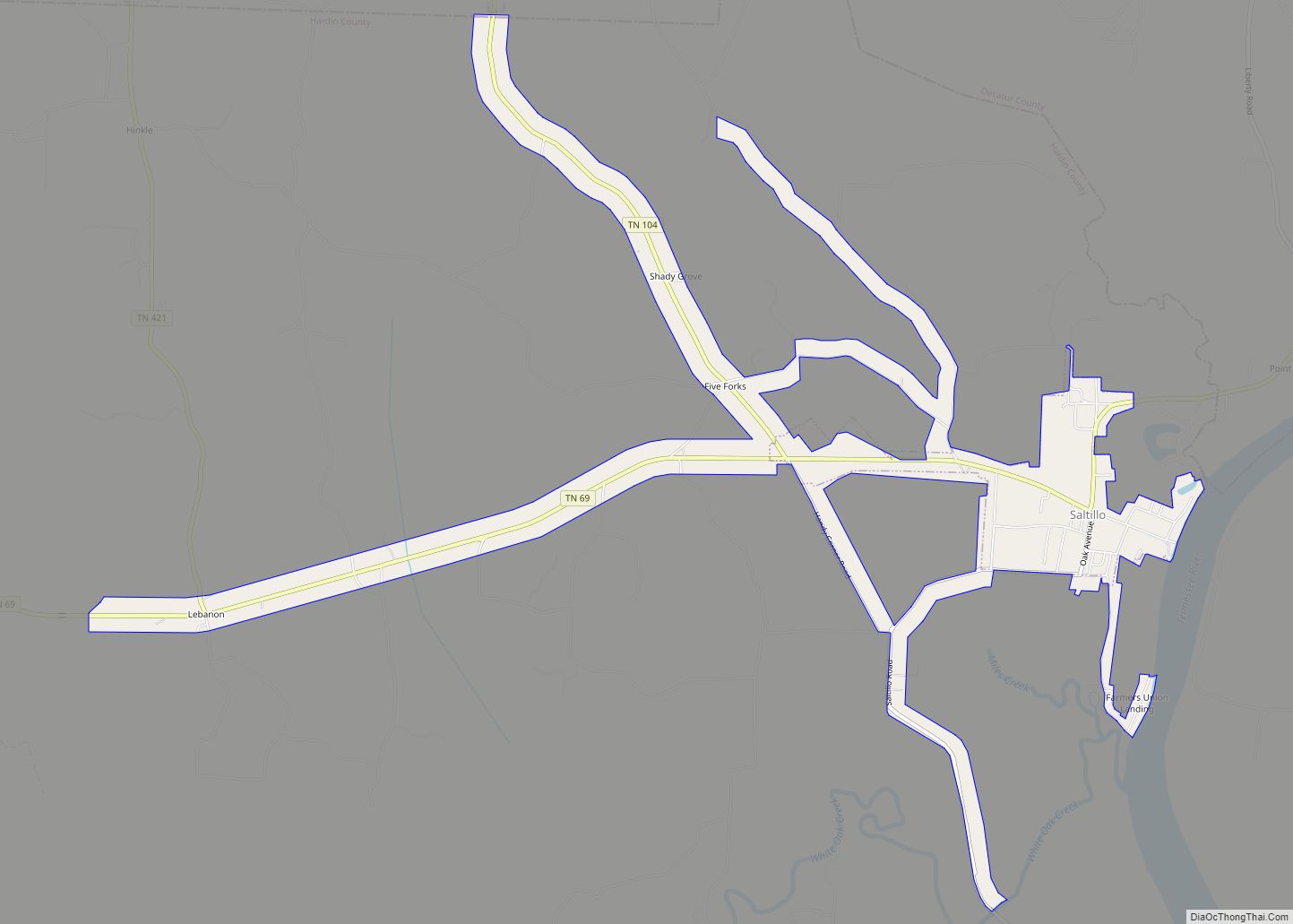
Other settlers in the expedition continued further downriver, establishing another community at Saltillo, in 1817.
County creation
For eleven days after its initial establishment (in November 1819), the boundaries of Hardin County reached from Wayne County west to the Mississippi River. The establishment of then neighboring Shelby County and others continued to diminish the size of Hardin until it reached its present boundaries. The county was named for Revolutionary War veteran, Joseph Hardin, a former colonial assemblyman for the Province of North Carolina, Speaker of the House for the unrecognized State of Franklin and a territorial legislator of the Southwest Territory.
Battle of Shiloh
Hardin County was the site of the 1862 Battle of Shiloh (also known as the Battle of Pittsburg Landing) during the Civil War. The battleground is several miles south of Savannah, and extends into Tishomingo County, Mississippi.
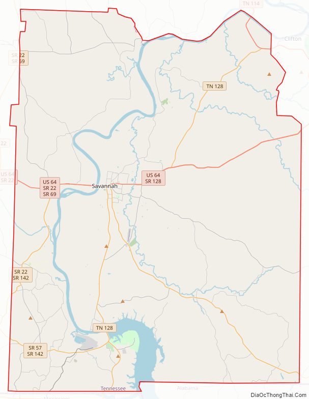
Hardin County Road Map
Geography
According to the U.S. Census Bureau, the county has a total area of 596 square miles (1,540 km), of which 577 square miles (1,490 km) is land and 19 square miles (49 km) (3.2%) is water.
Hardin County is located in western southern Tennessee (although part of the county is east of the Tennessee River, the county is considered part of the “Grand Division” of West Tennessee). The county is divided into two nearly equal divisions by the Tennessee River, which enters about midway on the south side and passes out near the northeast corner, flowing northwards. The length of the county from north to south is about 30 miles, and its greatest width, from east to west, about 21.
Adjacent counties
- Decatur County (north)
- Wayne County (east)
- Lauderdale County, Alabama (southeast)
- Tishomingo County, Mississippi (south)
- Alcorn County, Mississippi (southwest)
- McNairy County (west)
- Chester County (northwest)
- Henderson County (north)
National protected area
- Shiloh National Military Park
State protected areas
- Dry Creek Wildlife Management Area
- Pickwick Landing State Park
- Walker Branch State Natural Area
- White Oak Wildlife Management Area
