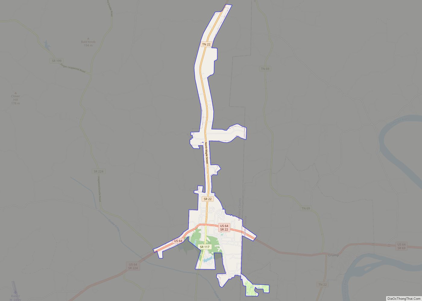
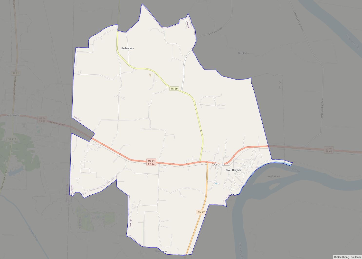
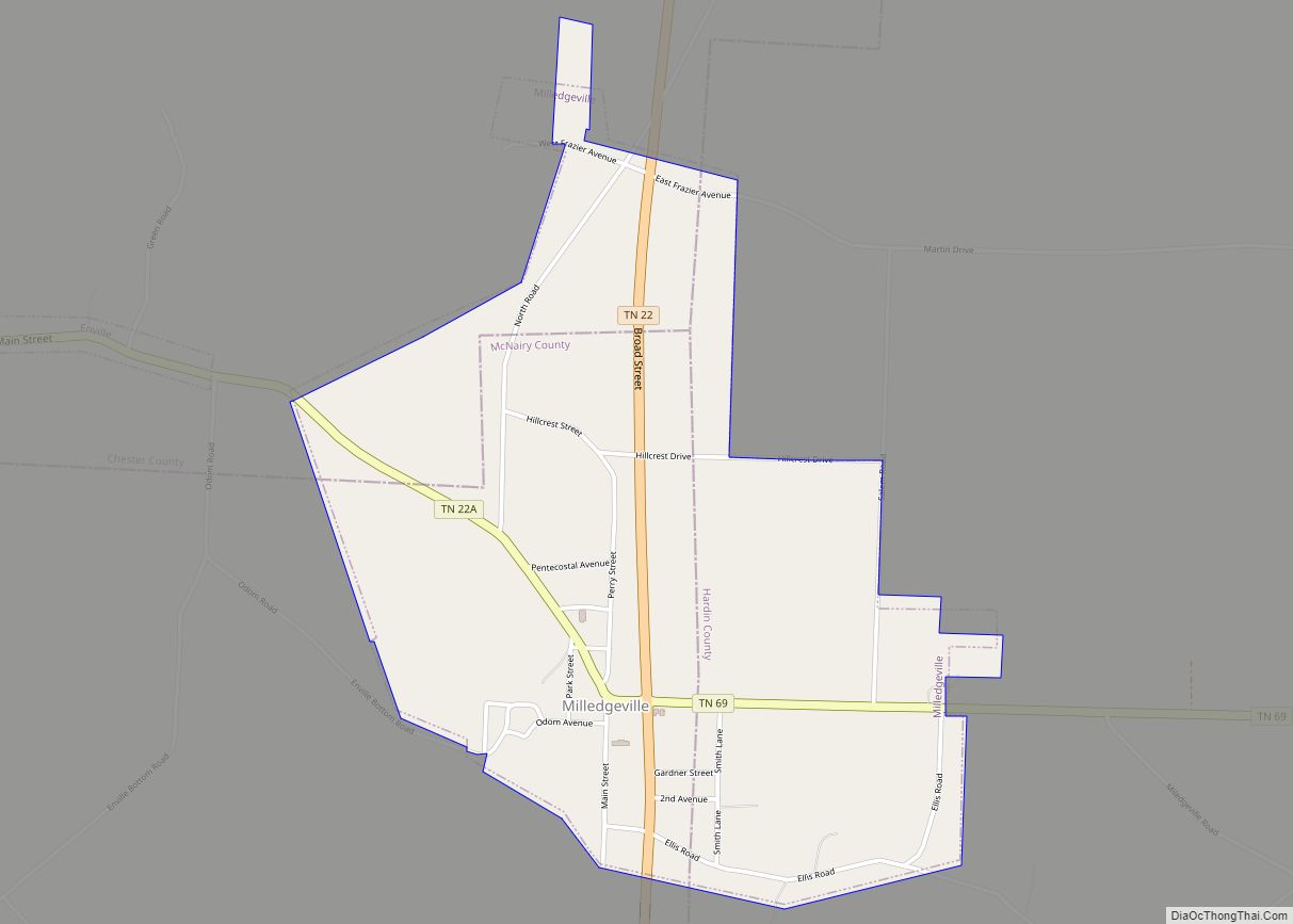
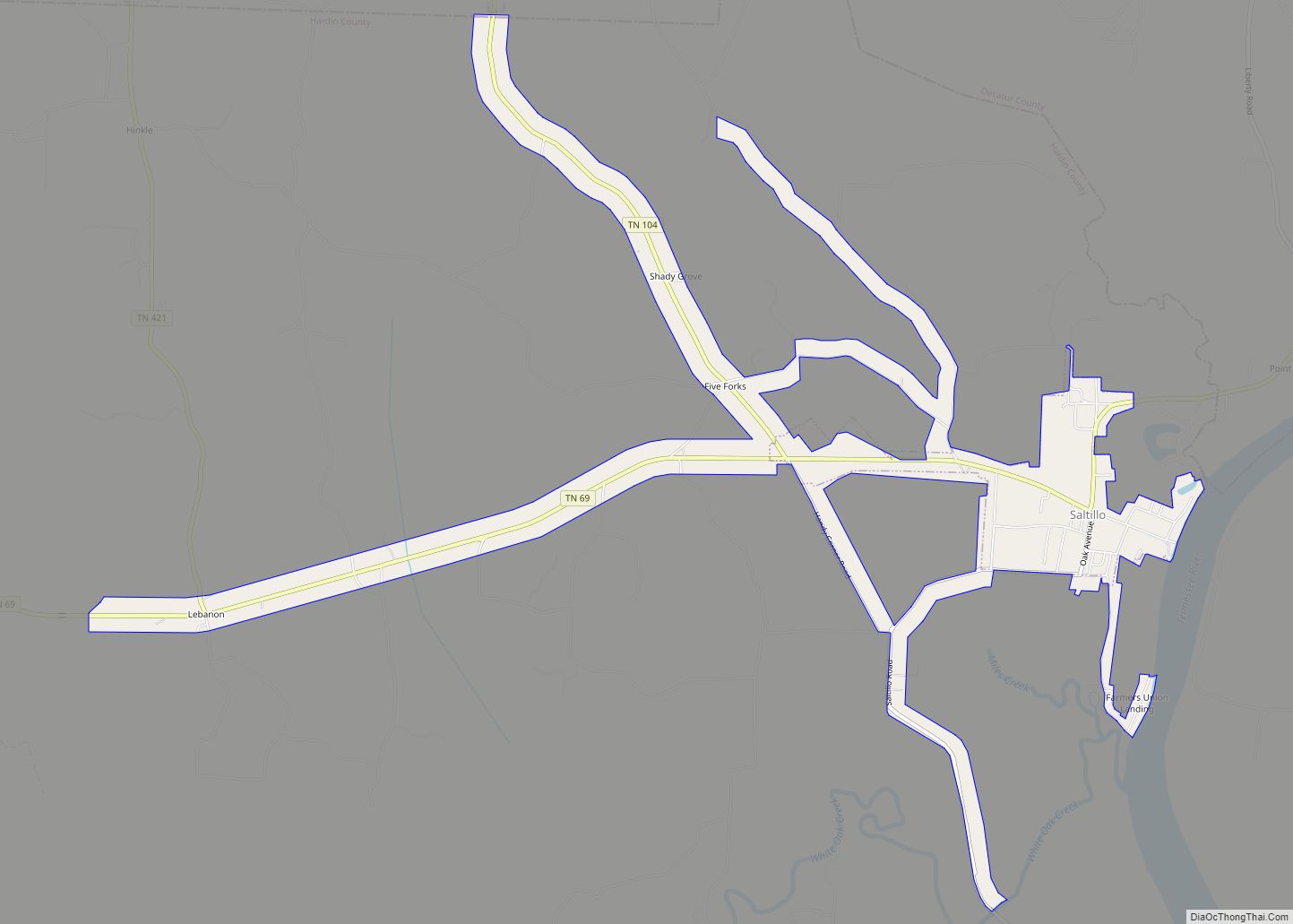
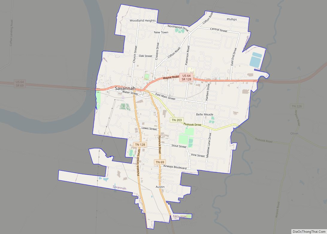
Saltillo is a town in Hardin County, Tennessee, United States. The population was 420 at the 2020 census. Saltillo is located on the left bank of the Tennessee River, about 12 miles north of Savannah.
| Name: | Saltillo town |
|---|---|
| LSAD Code: | 43 |
| LSAD Description: | town (suffix) |
| State: | Tennessee |
| County: | Hardin County |
| Elevation: | 413 ft (126 m) |
| Total Area: | 3.08 sq mi (7.96 km²) |
| Land Area: | 3.07 sq mi (7.95 km²) |
| Water Area: | 0.00 sq mi (0.01 km²) |
| Total Population: | 420 |
| Population Density: | 136.76/sq mi (52.81/km²) |
| ZIP code: | 38370 |
| Area code: | 731 |
| FIPS code: | 4766340 |
| GNISfeature ID: | 1300596 |
Online Interactive Map
Click on ![]() to view map in "full screen" mode.
to view map in "full screen" mode.
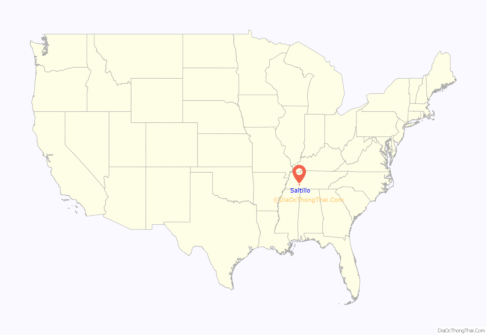
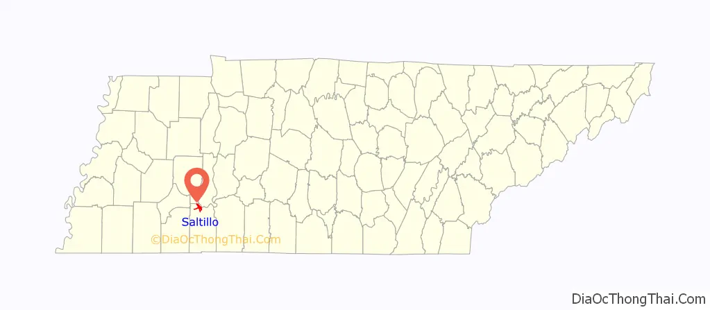
Saltillo location map. Where is Saltillo town?
History
Saltillo was founded by Thomas Shannon in October, 1822. He had left Davidson County, Tennessee and arrived in the area on a keelboat with enough provisions to last one year, two men, Colonel John Holland and Parkerson Mitchell, to assist him, and four black men. The men arrived via Tennessee River and built camp about half a mile from the river. Shannon’s wife and seven children came by land with a drive of forty cattle. This cattle would serve as the starting point for Shannon to raise cattle for income, but the cattle were unable to adapt to the change in their environment and feeding. Within three months of grazing, 39 of the 40 cattle were dead. Shortly after the Shannon family’s arrival, Shannon and his sons built a log cabin in 1825, serving as the first house built in Saltillo. Shortly thereafter a store-house was built by Smith Hawkins for dry goods to be distributed, which were sold out within three months. The area where this store-house was built is now called Hawkin’s Landing.
More settlers came to the area and another store was built a quarter mile south of the first store by Hawkin’s brother, Perry. The first man to be killed in town was Simpson Lee, who was thrown off his horse. Barges began regularly delivering goods and residents would travel as far as the Duck River for a grist mill. In 1842 Thomas Davy purchased the land once owned by Thomas Shannon and it was named Davy’s Landing. In 1849 Davy leased the land to Scott Terry, who renamed the area Saltillo. The town was named Saltillo after Saltillo, Mexico by Terry, who was a veteran of the Mexican–American War. The Saltillo post office was opened in 1850. Saltillo was incorporated in 1870.
Saltillo Road Map
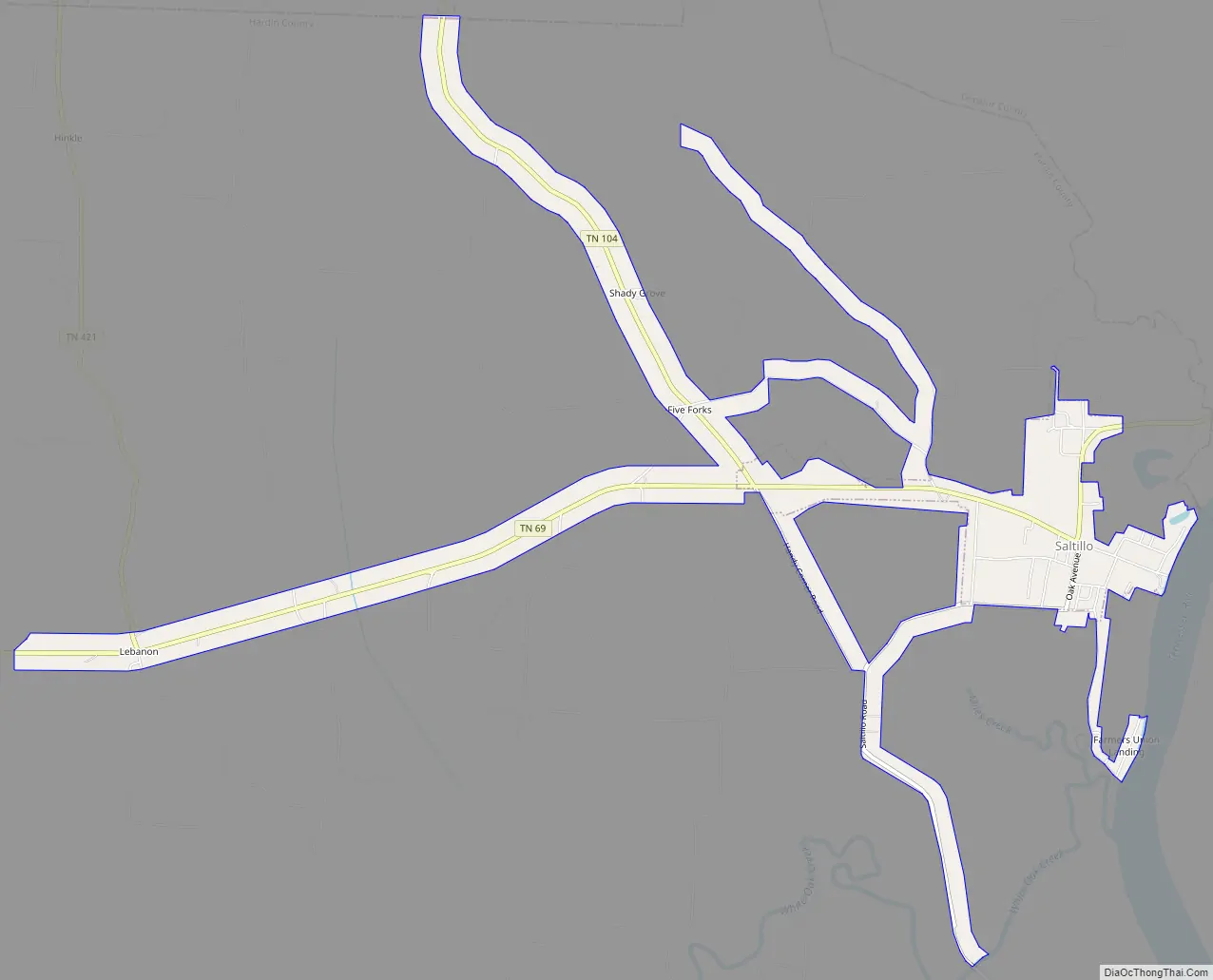
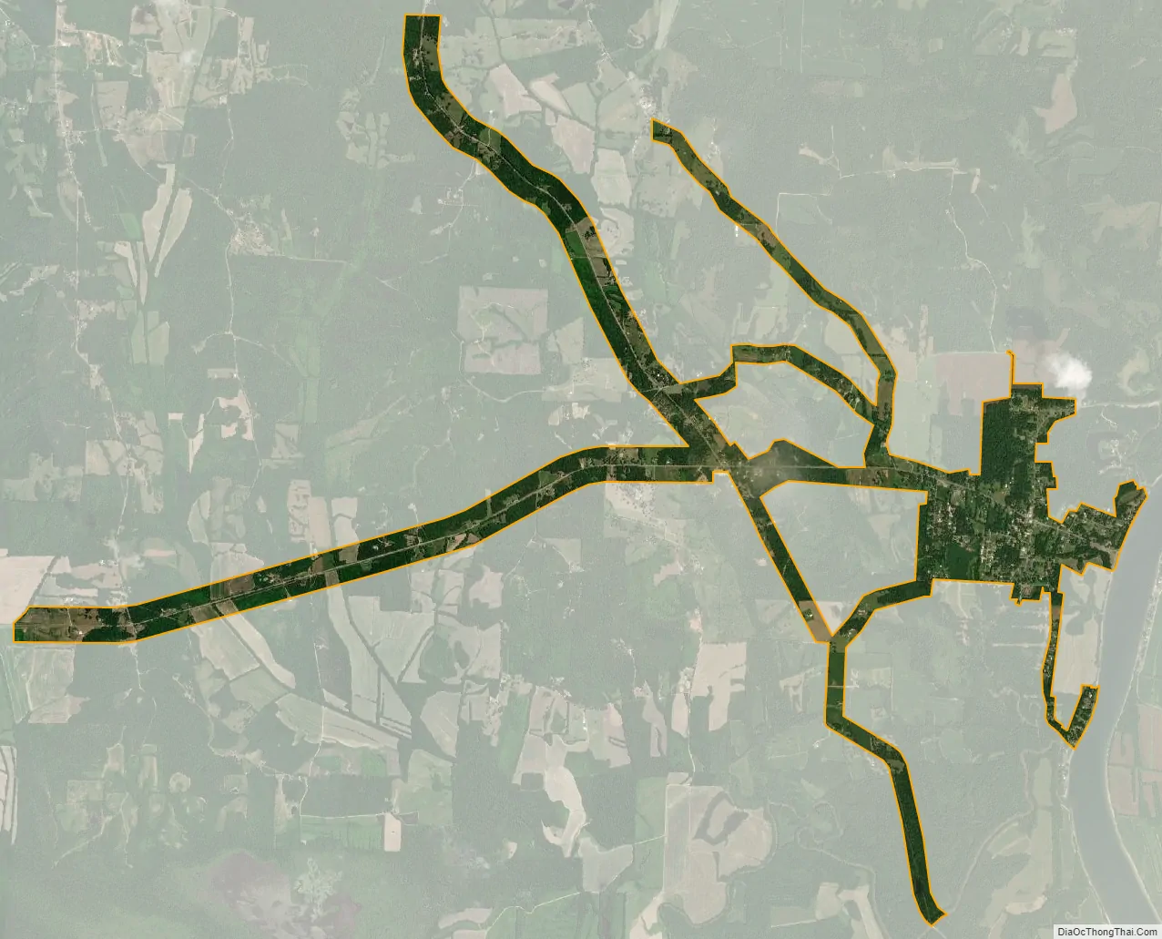
Saltillo city Satellite Map
Geography
Saltillo is located at 35°22′50″N 88°12′44″W / 35.380579°N 88.212119°W / 35.380579; -88.212119.
According to the United States Census Bureau, the town has a total area of 0.9 square miles (2.3 km), all land.
See also
Map of Tennessee State and its subdivision:- Anderson
- Bedford
- Benton
- Bledsoe
- Blount
- Bradley
- Campbell
- Cannon
- Carroll
- Carter
- Cheatham
- Chester
- Claiborne
- Clay
- Cocke
- Coffee
- Crockett
- Cumberland
- Davidson
- Decatur
- DeKalb
- Dickson
- Dyer
- Fayette
- Fentress
- Franklin
- Gibson
- Giles
- Grainger
- Greene
- Grundy
- Hamblen
- Hamilton
- Hancock
- Hardeman
- Hardin
- Hawkins
- Haywood
- Henderson
- Henry
- Hickman
- Houston
- Humphreys
- Jackson
- Jefferson
- Johnson
- Knox
- Lake
- Lauderdale
- Lawrence
- Lewis
- Lincoln
- Loudon
- Macon
- Madison
- Marion
- Marshall
- Maury
- McMinn
- McNairy
- Meigs
- Monroe
- Montgomery
- Moore
- Morgan
- Obion
- Overton
- Perry
- Pickett
- Polk
- Putnam
- Rhea
- Roane
- Robertson
- Rutherford
- Scott
- Sequatchie
- Sevier
- Shelby
- Smith
- Stewart
- Sullivan
- Sumner
- Tipton
- Trousdale
- Unicoi
- Union
- Van Buren
- Warren
- Washington
- Wayne
- Weakley
- White
- Williamson
- Wilson
- Alabama
- Alaska
- Arizona
- Arkansas
- California
- Colorado
- Connecticut
- Delaware
- District of Columbia
- Florida
- Georgia
- Hawaii
- Idaho
- Illinois
- Indiana
- Iowa
- Kansas
- Kentucky
- Louisiana
- Maine
- Maryland
- Massachusetts
- Michigan
- Minnesota
- Mississippi
- Missouri
- Montana
- Nebraska
- Nevada
- New Hampshire
- New Jersey
- New Mexico
- New York
- North Carolina
- North Dakota
- Ohio
- Oklahoma
- Oregon
- Pennsylvania
- Rhode Island
- South Carolina
- South Dakota
- Tennessee
- Texas
- Utah
- Vermont
- Virginia
- Washington
- West Virginia
- Wisconsin
- Wyoming