Adamsville is a town in Hardin and McNairy counties, Tennessee, United States. The population was 2,207 at the 2010 census. Adamsville is named after George D. Adams, who operated an inn and stagecoach stop in the 1840s. Adamsville’s nickname is the “Biggest Little Town in Tennessee” and was the home of Sheriff Buford Pusser.
| Name: | Adamsville town |
|---|---|
| LSAD Code: | 43 |
| LSAD Description: | town (suffix) |
| State: | Tennessee |
| County: | Hardin County, McNairy County |
| Incorporated: | 1870 |
| Elevation: | 515 ft (157 m) |
| Total Area: | 7.09 sq mi (18.35 km²) |
| Land Area: | 7.04 sq mi (18.23 km²) |
| Water Area: | 0.05 sq mi (0.12 km²) |
| Total Population: | 2,265 |
| Population Density: | 321.78/sq mi (124.25/km²) |
| ZIP code: | 38310 |
| Area code: | 731 |
| FIPS code: | 4700240 |
| GNISfeature ID: | 1269295 |
| Website: | www.cityofadamsville.com |
Online Interactive Map
Click on ![]() to view map in "full screen" mode.
to view map in "full screen" mode.
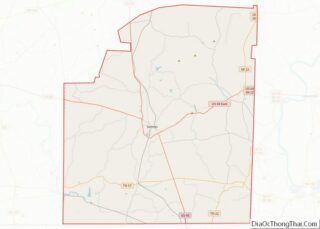
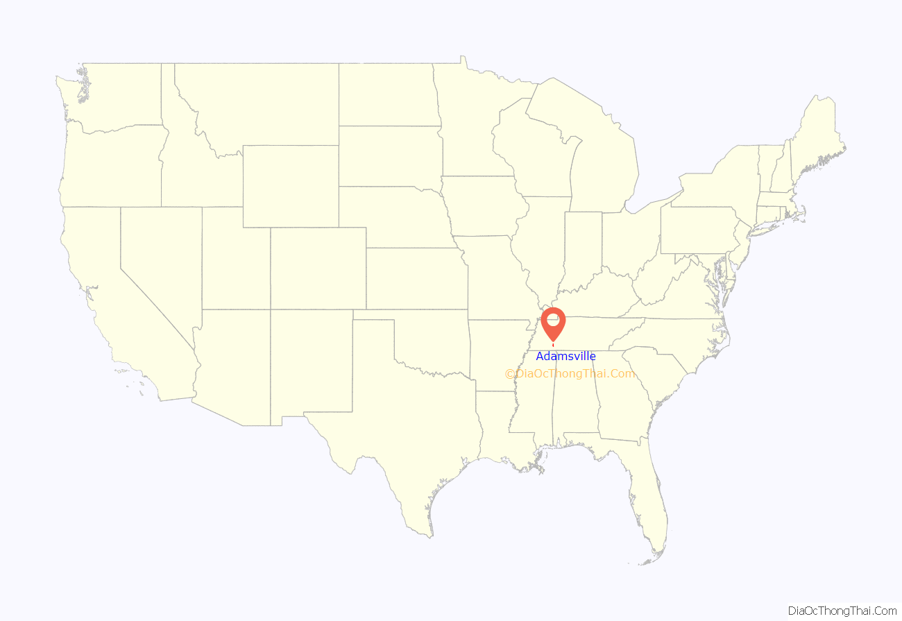
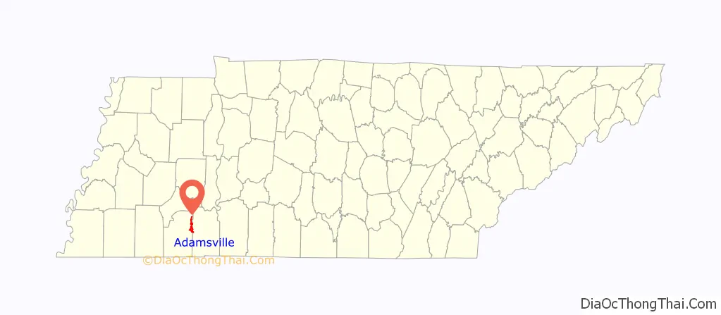
Adamsville location map. Where is Adamsville town?
History
The area in and around Adamsville was first surveyed by Davy Crockett. Just after 1818, George C. Adams and his family were the first settlers of European ancestry to locate to the area. A trading post would be opened, just north of where the Adamsville Cemetery is today. The trading post served the local Native communities and Anglo settlers. In 1838 the Bell’s detachment of the Trail of Tears traveled through Adamsville. Settlers from North Carolina and Maury County, Tennessee migrated to the area and the settlement developed an agricultural economy. When the Battle of Shiloh was fought in 1862, Union Army soldiers were camped in Adamsville.
Adamsville was incorporated in 1870. The town struggled to grow until roads were improved in the early 20th century. Agriculture remained the main economic developer until the textile industry came into the area with Myrna Mills factory opening, and then other factories following.
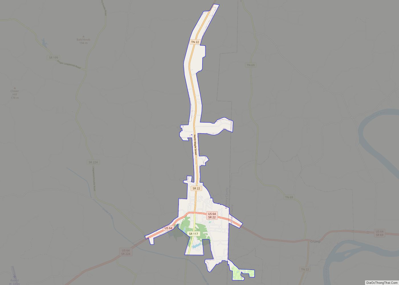
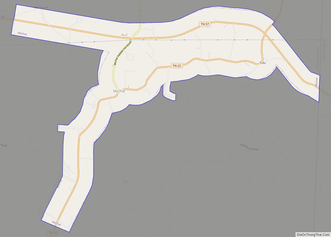
Adamsville Road Map

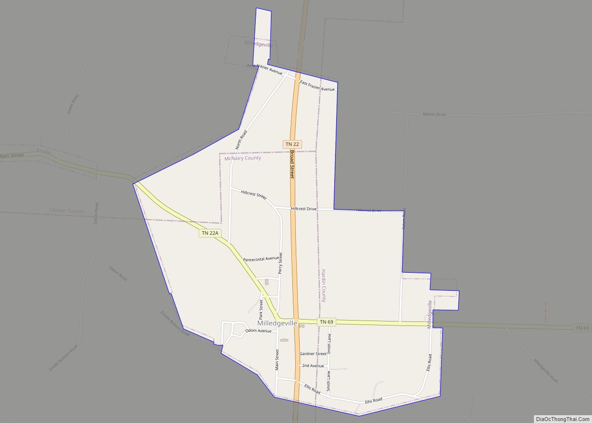
Adamsville city Satellite Map

Geography
Adamsville is located at 35°15′0″N 88°23′25″W / 35.25000°N 88.39028°W / 35.25000; -88.39028 (35.250124, -88.390311).
According to the United States Census Bureau, the town has a total area of 6.9 square miles (18.0 km), of which 6.9 square miles (17.9 km) is land and 0.1 square mile (0.1 km) (0.72%) is water.
Adamsville is located primarily in McNairy County; only a small part of the municipal area lies in Hardin County.
See also
Map of Tennessee State and its subdivision:- Anderson
- Bedford
- Benton
- Bledsoe
- Blount
- Bradley
- Campbell
- Cannon
- Carroll
- Carter
- Cheatham
- Chester
- Claiborne
- Clay
- Cocke
- Coffee
- Crockett
- Cumberland
- Davidson
- Decatur
- DeKalb
- Dickson
- Dyer
- Fayette
- Fentress
- Franklin
- Gibson
- Giles
- Grainger
- Greene
- Grundy
- Hamblen
- Hamilton
- Hancock
- Hardeman
- Hardin
- Hawkins
- Haywood
- Henderson
- Henry
- Hickman
- Houston
- Humphreys
- Jackson
- Jefferson
- Johnson
- Knox
- Lake
- Lauderdale
- Lawrence
- Lewis
- Lincoln
- Loudon
- Macon
- Madison
- Marion
- Marshall
- Maury
- McMinn
- McNairy
- Meigs
- Monroe
- Montgomery
- Moore
- Morgan
- Obion
- Overton
- Perry
- Pickett
- Polk
- Putnam
- Rhea
- Roane
- Robertson
- Rutherford
- Scott
- Sequatchie
- Sevier
- Shelby
- Smith
- Stewart
- Sullivan
- Sumner
- Tipton
- Trousdale
- Unicoi
- Union
- Van Buren
- Warren
- Washington
- Wayne
- Weakley
- White
- Williamson
- Wilson
- Alabama
- Alaska
- Arizona
- Arkansas
- California
- Colorado
- Connecticut
- Delaware
- District of Columbia
- Florida
- Georgia
- Hawaii
- Idaho
- Illinois
- Indiana
- Iowa
- Kansas
- Kentucky
- Louisiana
- Maine
- Maryland
- Massachusetts
- Michigan
- Minnesota
- Mississippi
- Missouri
- Montana
- Nebraska
- Nevada
- New Hampshire
- New Jersey
- New Mexico
- New York
- North Carolina
- North Dakota
- Ohio
- Oklahoma
- Oregon
- Pennsylvania
- Rhode Island
- South Carolina
- South Dakota
- Tennessee
- Texas
- Utah
- Vermont
- Virginia
- Washington
- West Virginia
- Wisconsin
- Wyoming