Howard is a city in Miner County, South Dakota, United States. The population was 848 at the 2020 census. It is the county seat and most populous city in Miner County.
| Name: | Howard city |
|---|---|
| LSAD Code: | 25 |
| LSAD Description: | city (suffix) |
| State: | South Dakota |
| County: | Miner County |
| Incorporated: | 1881 |
| Elevation: | 1,575 ft (480 m) |
| Total Area: | 0.96 sq mi (2.50 km²) |
| Land Area: | 0.96 sq mi (2.50 km²) |
| Water Area: | 0.00 sq mi (0.00 km²) |
| Total Population: | 848 |
| Population Density: | 878.76/sq mi (339.31/km²) |
| ZIP code: | 57349 |
| Area code: | 605 |
| FIPS code: | 4630460 |
| GNISfeature ID: | 1265656 |
| Website: | www.cityofhoward.com |
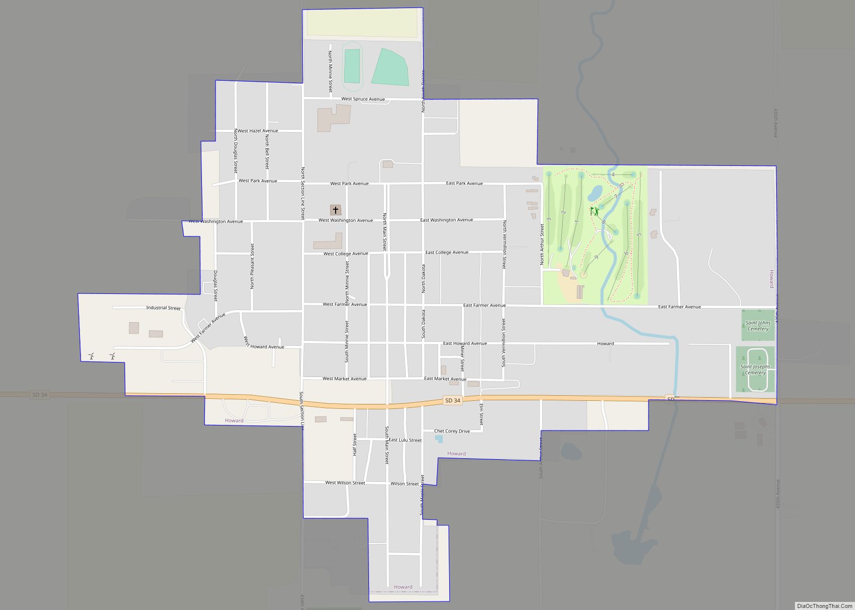
Online Interactive Map
Click on ![]() to view map in "full screen" mode.
to view map in "full screen" mode.
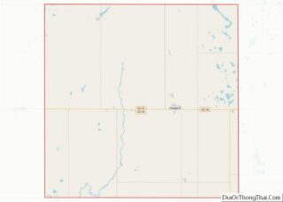
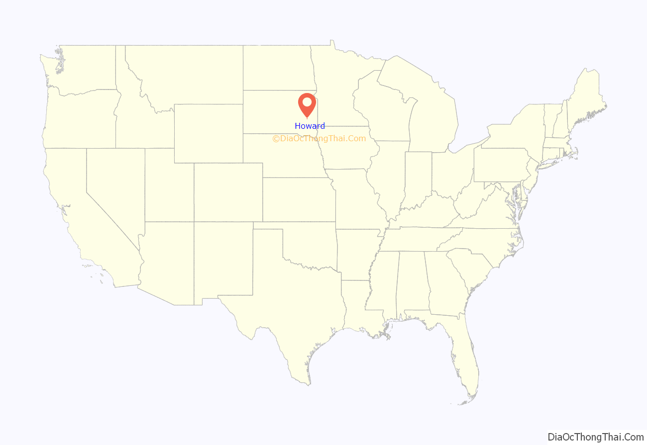
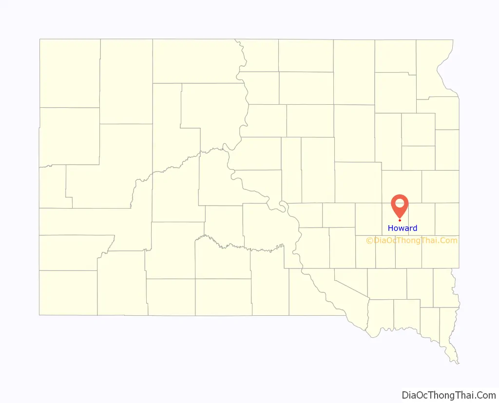
Howard location map. Where is Howard city?
History
The city of Howard was established in 1881, shortly after the Southern Minnesota Railway was extended to that point. The city was named for Howard Farmer, the son of the townsite owner, J. D. Farmer. In 1883, when Miner and Sanborn counties were organized, the town was named the county seat of Miner County.
One of the first known photographs of a tornado is an image of the 1884 Howard, South Dakota tornado.
The first public library in Dakota Territory was the Howard Public Library, chartered in 1886.
Howard became the first municipality in South Dakota to own and operate its own wind turbines in 2001.
Since 2001, over 200 new jobs have been created in the community. From 1996 to 2008, the city’s sales tax revenues increased 123%.
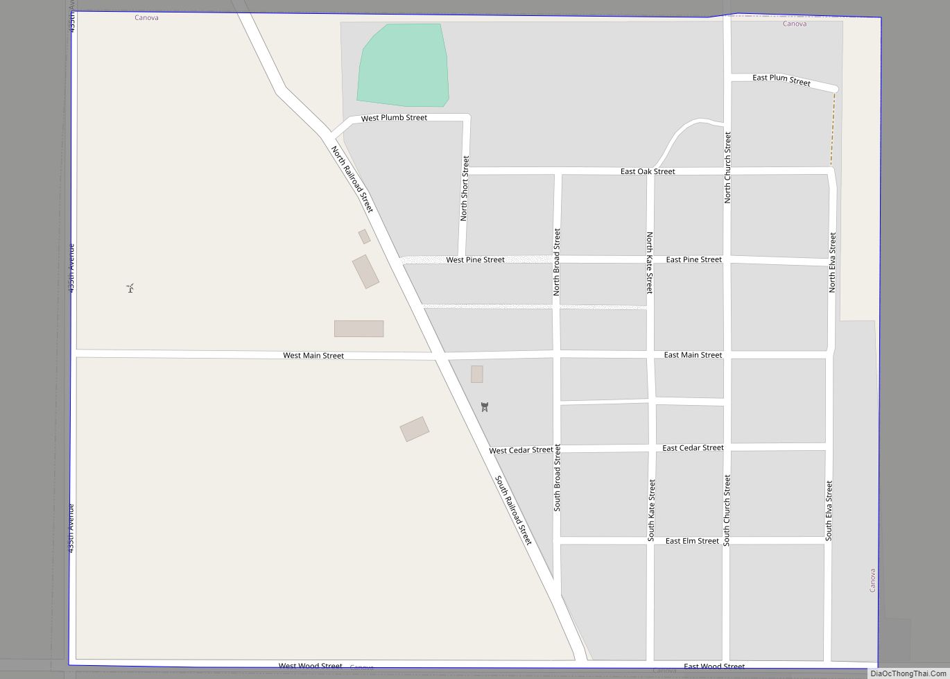
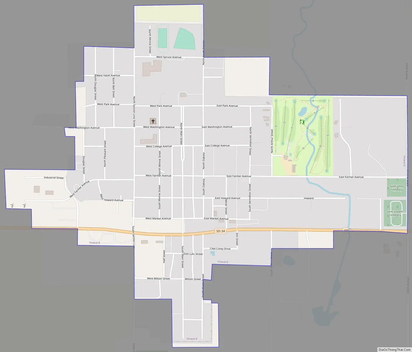
Howard Road Map
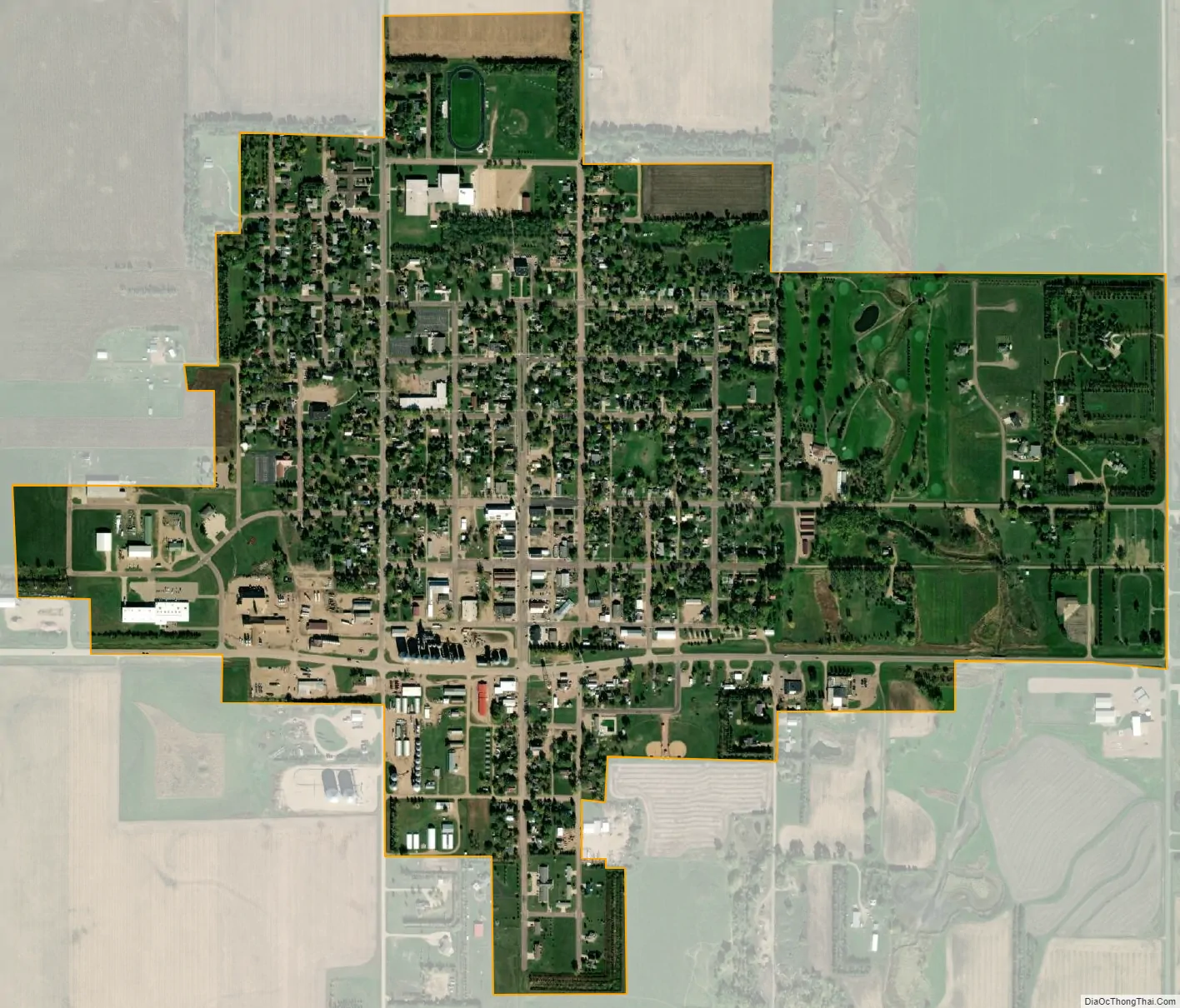
Howard city Satellite Map
Geography
Howard is located southeastern South Dakota at 44°0′38″N 97°31′35″W / 44.01056°N 97.52639°W / 44.01056; -97.52639 (44.010422, -97.526435). The city is situated on South Dakota Highway 34.
According to the United States Census Bureau, the city has a total area of 0.95 square miles (2.46 km), all land.
Howard has been assigned the ZIP code 57349 and the FIPS place code 30460.
Climate
See also
Map of South Dakota State and its subdivision:- Aurora
- Beadle
- Bennett
- Bon Homme
- Brookings
- Brown
- Brule
- Buffalo
- Butte
- Campbell
- Charles Mix
- Clark
- Clay
- Codington
- Corson
- Custer
- Davison
- Day
- Deuel
- Dewey
- Douglas
- Edmunds
- Fall River
- Faulk
- Grant
- Gregory
- Haakon
- Hamlin
- Hand
- Hanson
- Harding
- Hughes
- Hutchinson
- Hyde
- Jackson
- Jerauld
- Jones
- Kingsbury
- Lake
- Lawrence
- Lincoln
- Lyman
- Marshall
- McCook
- McPherson
- Meade
- Mellette
- Miner
- Minnehaha
- Moody
- Pennington
- Perkins
- Potter
- Roberts
- Sanborn
- Shannon
- Spink
- Stanley
- Sully
- Todd
- Tripp
- Turner
- Union
- Walworth
- Yankton
- Ziebach
- Alabama
- Alaska
- Arizona
- Arkansas
- California
- Colorado
- Connecticut
- Delaware
- District of Columbia
- Florida
- Georgia
- Hawaii
- Idaho
- Illinois
- Indiana
- Iowa
- Kansas
- Kentucky
- Louisiana
- Maine
- Maryland
- Massachusetts
- Michigan
- Minnesota
- Mississippi
- Missouri
- Montana
- Nebraska
- Nevada
- New Hampshire
- New Jersey
- New Mexico
- New York
- North Carolina
- North Dakota
- Ohio
- Oklahoma
- Oregon
- Pennsylvania
- Rhode Island
- South Carolina
- South Dakota
- Tennessee
- Texas
- Utah
- Vermont
- Virginia
- Washington
- West Virginia
- Wisconsin
- Wyoming