Fort Thompson is a census-designated place (CDP) in Buffalo County, South Dakota, United States. The population was 1,282 at the 2010 census, making it the largest settlement on the Crow Creek Reservation.
Fort Thompson was named in honor of Clark W. Thompson, superintendent of Indian Affairs.
| Name: | Fort Thompson CDP |
|---|---|
| LSAD Code: | 57 |
| LSAD Description: | CDP (suffix) |
| State: | South Dakota |
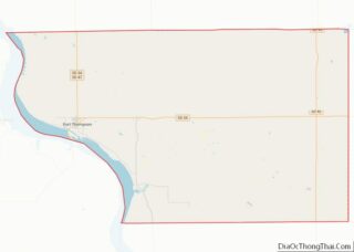
| County: | Buffalo County |
| Incorporated: | 1889 |
| Elevation: | 1,440 ft (439 m) |
| Total Area: | 12.60 sq mi (32.63 km²) |
| Land Area: | 10.38 sq mi (26.88 km²) |
| Water Area: | 2.22 sq mi (5.75 km²) |
| Total Population: | 1,224 |
| Population Density: | 117.95/sq mi (45.54/km²) |
| ZIP code: | 57339 |
| Area code: | 605 |
| FIPS code: | 4622340 |
| GNISfeature ID: | 1255117 |
Online Interactive Map
Click on ![]() to view map in "full screen" mode.
to view map in "full screen" mode.
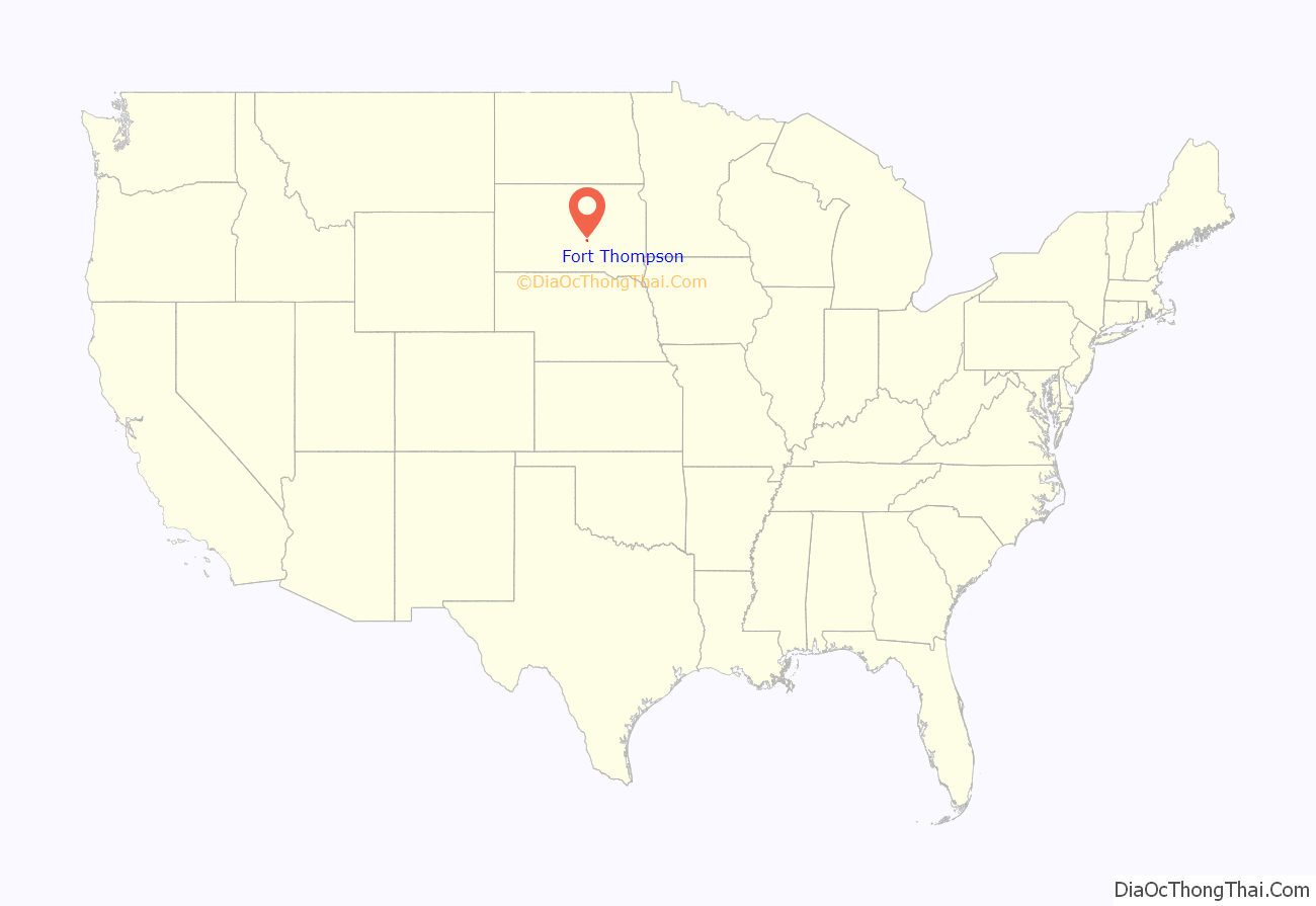
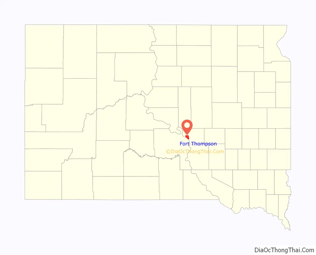
Fort Thompson location map. Where is Fort Thompson CDP?
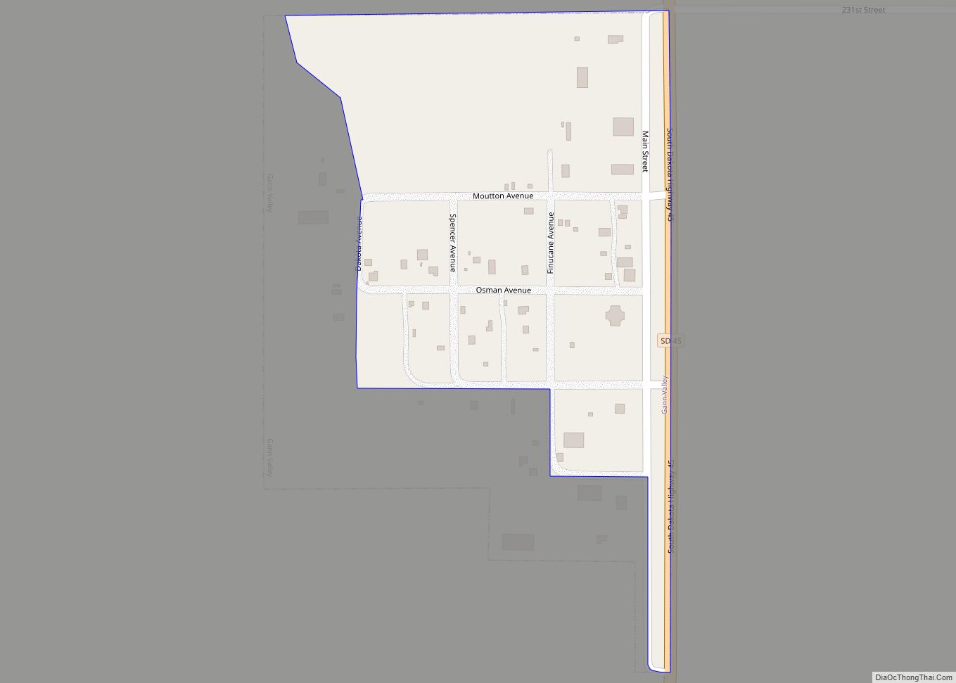
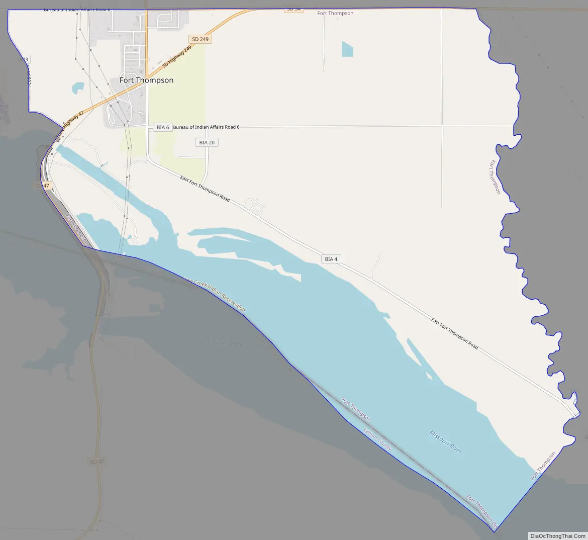
Fort Thompson Road Map
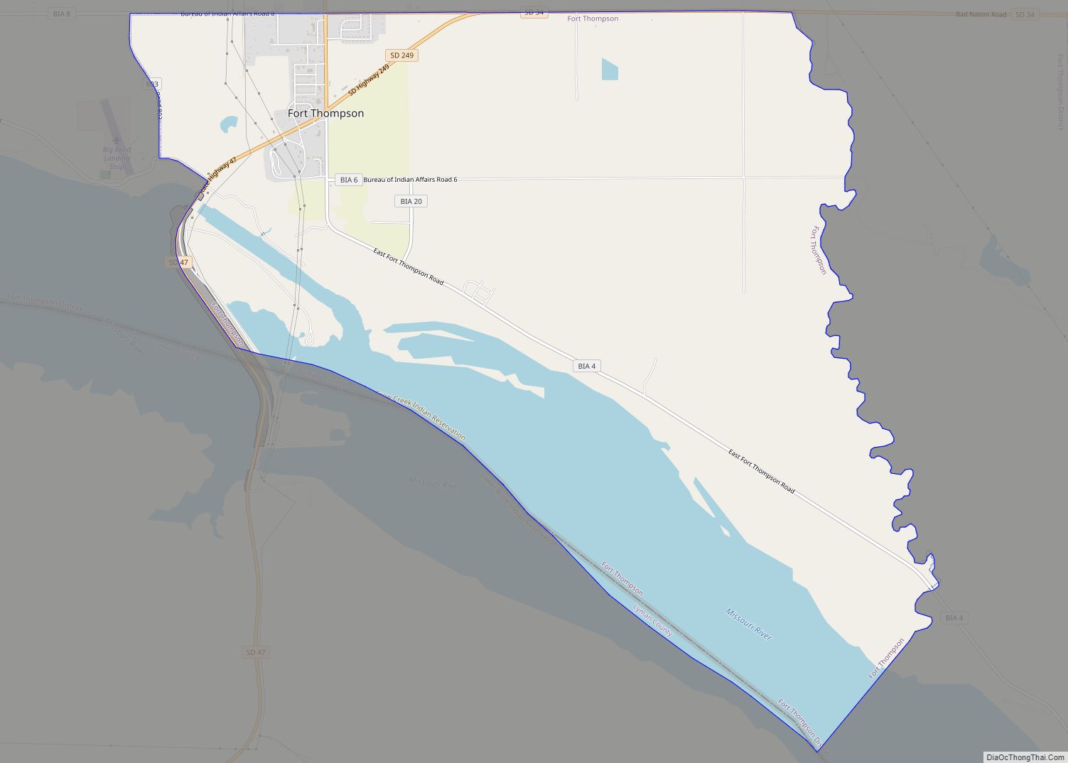
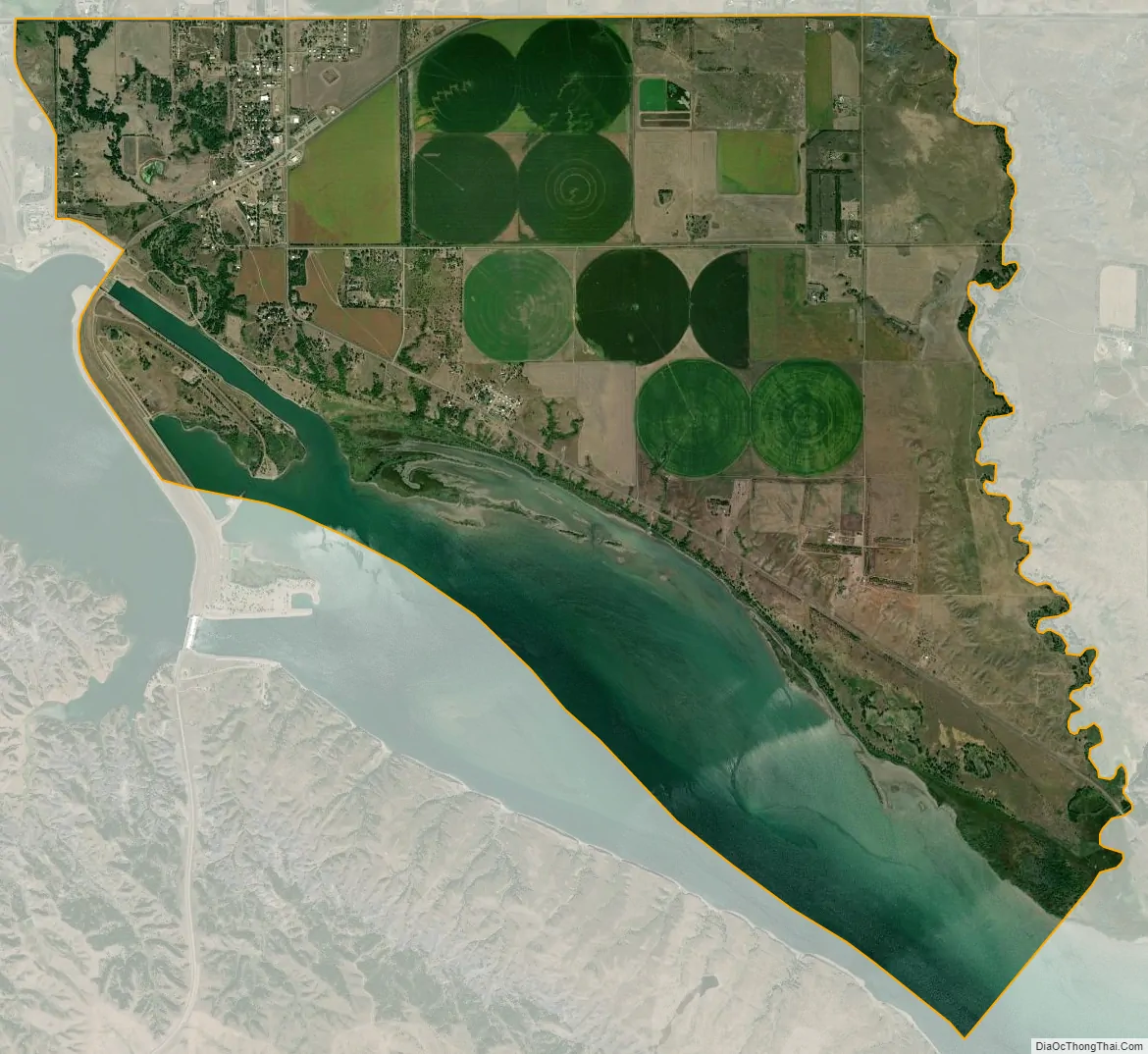
Fort Thompson city Satellite Map
Geography
Fort Thompson is located at 44°3′39″N 99°25′45″W / 44.06083°N 99.42917°W / 44.06083; -99.42917 (44.060793, -99.429128).
According to the United States Census Bureau, the CDP has a total area of 12.6 square miles (33 km), of which 10.3 square miles (27 km) is land and 2.3 square miles (6.0 km) (17.98%) is water.
Big Bend Dam is located just south of Ft. Thompson and impounds Lake Sharpe.
See also
Map of South Dakota State and its subdivision:- Aurora
- Beadle
- Bennett
- Bon Homme
- Brookings
- Brown
- Brule
- Buffalo
- Butte
- Campbell
- Charles Mix
- Clark
- Clay
- Codington
- Corson
- Custer
- Davison
- Day
- Deuel
- Dewey
- Douglas
- Edmunds
- Fall River
- Faulk
- Grant
- Gregory
- Haakon
- Hamlin
- Hand
- Hanson
- Harding
- Hughes
- Hutchinson
- Hyde
- Jackson
- Jerauld
- Jones
- Kingsbury
- Lake
- Lawrence
- Lincoln
- Lyman
- Marshall
- McCook
- McPherson
- Meade
- Mellette
- Miner
- Minnehaha
- Moody
- Pennington
- Perkins
- Potter
- Roberts
- Sanborn
- Shannon
- Spink
- Stanley
- Sully
- Todd
- Tripp
- Turner
- Union
- Walworth
- Yankton
- Ziebach
- Alabama
- Alaska
- Arizona
- Arkansas
- California
- Colorado
- Connecticut
- Delaware
- District of Columbia
- Florida
- Georgia
- Hawaii
- Idaho
- Illinois
- Indiana
- Iowa
- Kansas
- Kentucky
- Louisiana
- Maine
- Maryland
- Massachusetts
- Michigan
- Minnesota
- Mississippi
- Missouri
- Montana
- Nebraska
- Nevada
- New Hampshire
- New Jersey
- New Mexico
- New York
- North Carolina
- North Dakota
- Ohio
- Oklahoma
- Oregon
- Pennsylvania
- Rhode Island
- South Carolina
- South Dakota
- Tennessee
- Texas
- Utah
- Vermont
- Virginia
- Washington
- West Virginia
- Wisconsin
- Wyoming