Nobles County is a county in the U.S. state of Minnesota. As of the 2020 census, the population was 22,290. Its county seat is Worthington. Nobles County comprises the Worthington, MN Micropolitan Statistical Area.
| Name: | Nobles County |
|---|---|
| FIPS code: | 27-105 |
| State: | Minnesota |
| Founded: | 1857 |
| Named for: | William H. Nobles |
| Seat: | Worthington |
| Largest city: | Worthington |
| Total Area: | 723 sq mi (1,870 km²) |
| Land Area: | 715 sq mi (1,850 km²) |
| Total Population: | 22,290 |
| Population Density: | 31.2/sq mi (12.0/km²) |
| Time zone: | UTC−6 (Central) |
| Summer Time Zone (DST): | UTC−5 (CDT) |
| Website: | www.co.nobles.mn.us |
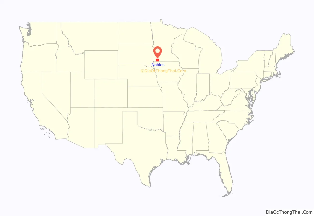
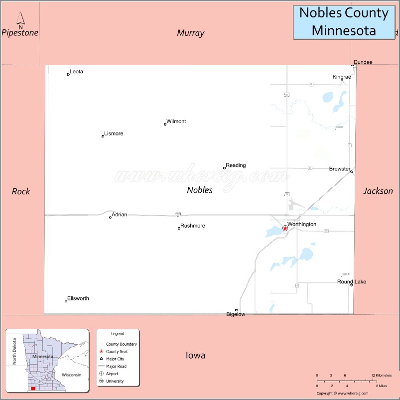
Nobles County location map. Where is Nobles County?
History
Nobles County was first occupied by the Sisseton Sioux. The first white man to set foot on the land was Joseph Nicollet who came to map out the area in 1842. Nicollet named Lake Okabena (there were two Lake Okabenas at the time), Lake Ocheda, East and West Graham Lake and the Kanaranzi Creek.
The first settlement was near Graham Lakes in 1846. Nobles County was established May 23, 1857, and organized October 27, 1870. The county was named for William H. Nobles, a member of the Minnesota territorial legislature in 1854 and 1856. In Autumn 1856 he began the construction of a wagon road for the US government, crossing southwestern Minnesota and Nobles County, to extend from Fort Ridgely to South Pass in the Rocky Mountains. This work was continued in 1857 but was not completed. Nobles County was created by the Minnesota Territory legislature just before the full force of the Panic of 1857 was felt. Settlers were further discouraged from coming by the Spirit Lake Massacre of 1857, where a band of Sioux murdered settlers in Spirit Lake and along the Des Moines River in Jackson and Cottonwood Counties. The few whites in the area were understandably reluctant to stay.
During the summer of 1867, a mail route was established from Blue Earth through the Graham Lakes settlement to Yankton, South Dakota. In January, a Post Office was established in each settlement. The population in the spring of 1870 was 117 and nearly doubled by fall. County Government did not start until 1870. The first railroad, the St. Paul & Sioux City Railway, was built in 1871. This later became the Chicago Northwestern Railroad, and is now operated by the Union Pacific Railroad.
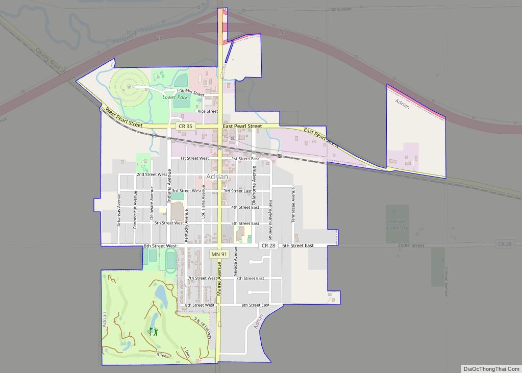
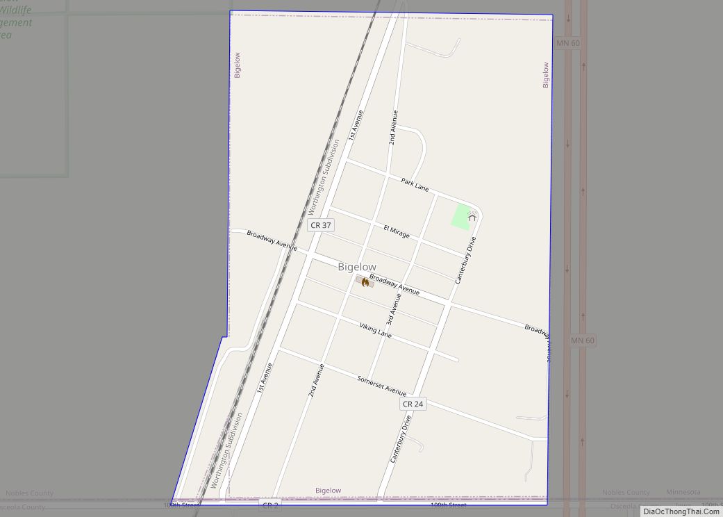
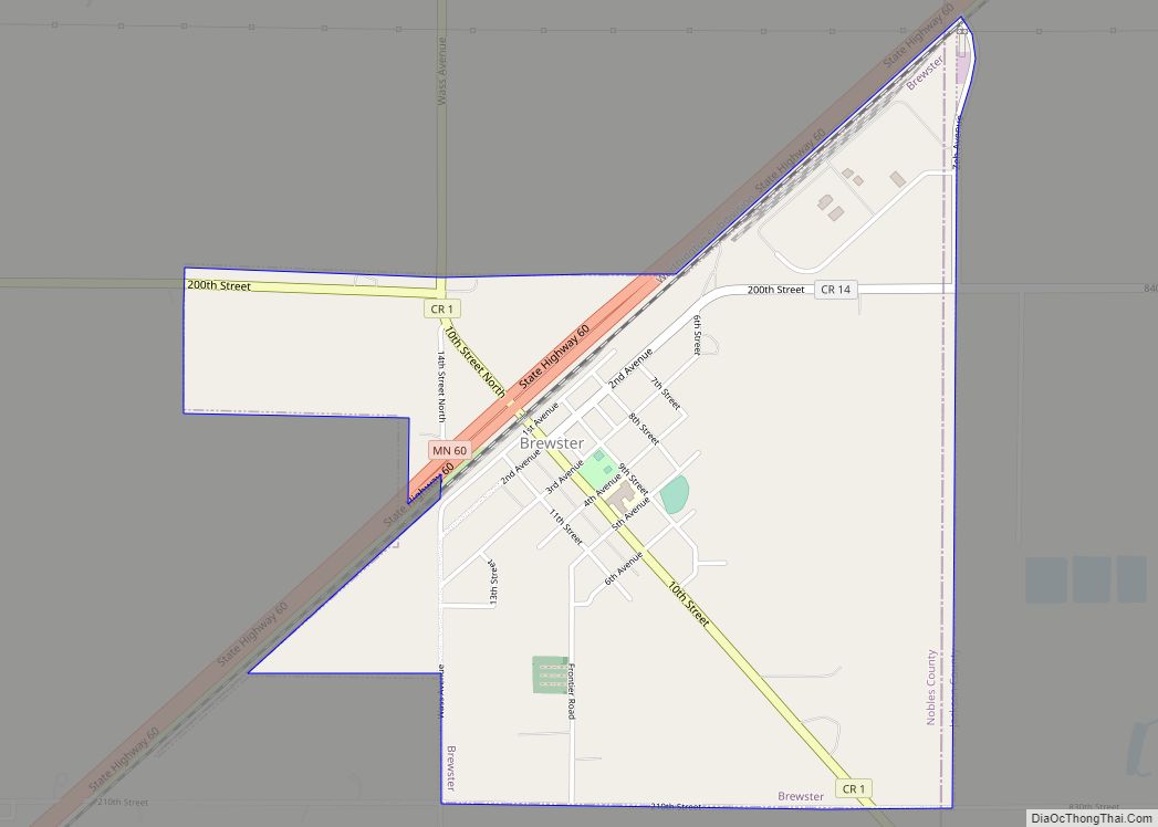
In 1871, a group of men from Toledo, Ohio organized a company to locate a colony of settlers in some western county. After traveling 20,000 miles in the Midwest, they decided on Nobles County and by the spring of 1872, hundreds of people came in and took up land. Worthington was platted in 1871, and became the county seat in 1873. The Worthington & Sioux Falls Railway was established in 1876. This led to rapid settlement in Rushmore, Adrian, and the western portions of the county.
The 1860 census of Nobles County showed 11 families, 35 persons, (3 from Norway, 3 from Bavaria, 1 from Ireland and the rest from the eastern states). In 1880, the population was 4,435. In 1895, the population was 11,905, and in 1970, the population was up to 23,208. In 2000, the population was 20,832, and the 2010 census showed a population of 21,378.
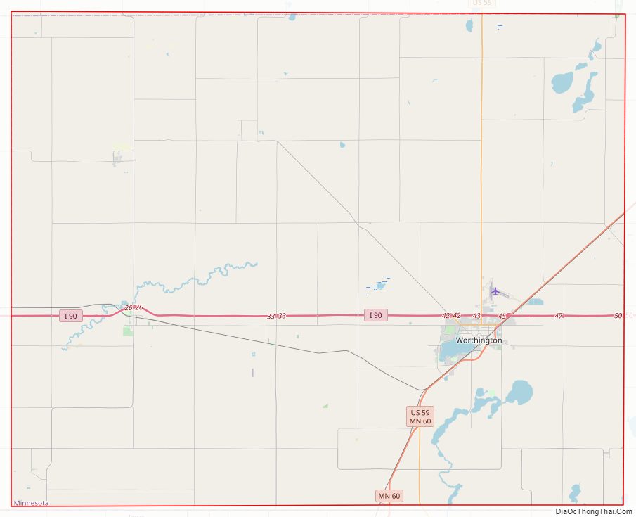
Nobles County Road Map
Geography
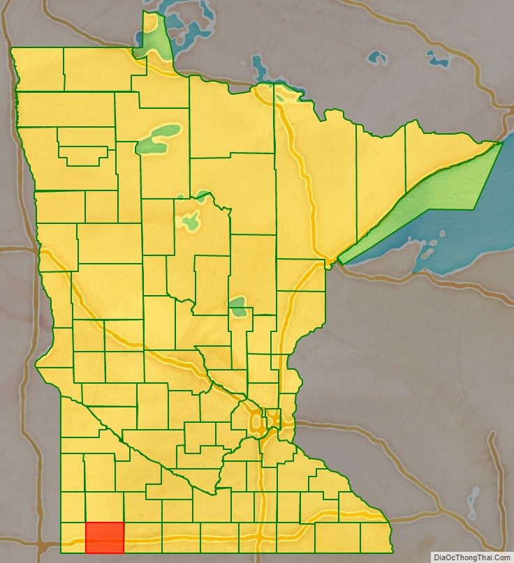
Nobles County is on the southern side of Minnesota. Its southern border abuts the northern border of the state of Iowa. The county has a total area of 723 square miles (1,870 km), of which 715 square miles (1,850 km) is land and 7.5 square miles (19 km) (1.0%) is water.
Major highways
- Interstate 90
- U.S. Highway 59
- Minnesota State Highway 60
- Minnesota State Highway 91
- Minnesota State Highway 264
Adjacent counties
- Murray County – north
- Cottonwood County – northeast
- Jackson County – east
- Osceola County, Iowa – southeast
- Lyon County, Iowa – southwest
- Rock County – west
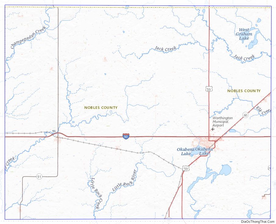
Lakes
- East Graham Lake
- Fulda First Lake
- Indian Lake
- Iowa Lake (part)
- Jack Lake
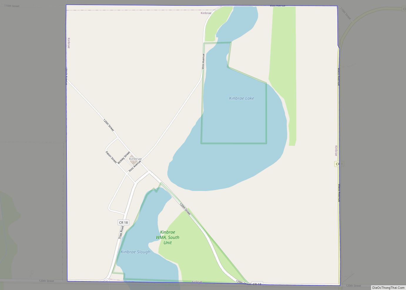
- Kinbrae Lake
- Lake Bella
- Lake Ocheda
- Lake Okabena
- West Graham Lake
- Willow Lake (part)
Protected areas
- Adrian Spring County Park
- Aid Pit State Wildlife Management Area
- Bigelow State Wildlife Management Area
- Champepadan State Wildlife Management Area
- Compass Prairie Scientific and Natural Area
- Dewald State Wildlife Management Area
- Eagle Lake State Wildlife Management Area
- Ells Pit State Wildlife Management Area
- Fenmont State Wildlife Management Area
- Fulda State Wildlife Management Area
- Fury State Wildlife Management Area
- Groth State Wildlife Management Area
- Hawkeye County Park
- John Erickson State Wildlife Management Area
- Lake Bella State Wildlife Management Area
- Lake Ocheda Game Refuge
- Lone Tree State Wildlife Management Area
- Maka-Oicu County Park
- Midway County Park
- Peterson State Wildlife Management Area
- Pheasant Run State Wildlife Management Area
- Scheuring State Wildlife Management Area
- Schweigert State Wildlife Management Area
- Sherwood State Wildlife Management Area
- Sportsman County Park
- Swessinger State Wildlife Management Area
- West Graham State Wildlife Management Area
Nobles County Topographic Map
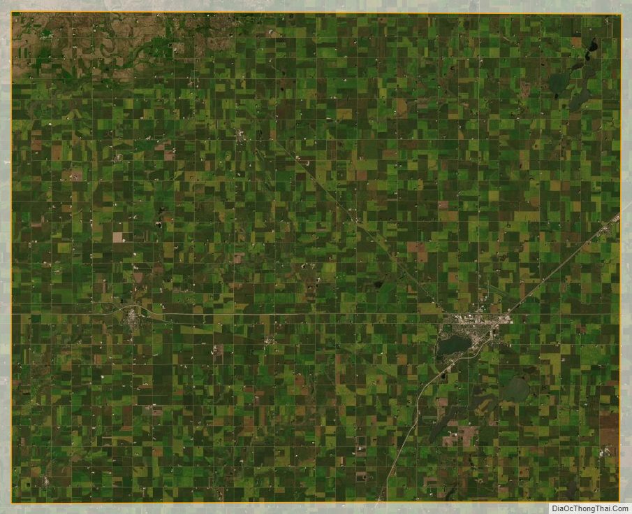
Nobles County Satellite Map
Nobles County Outline Map