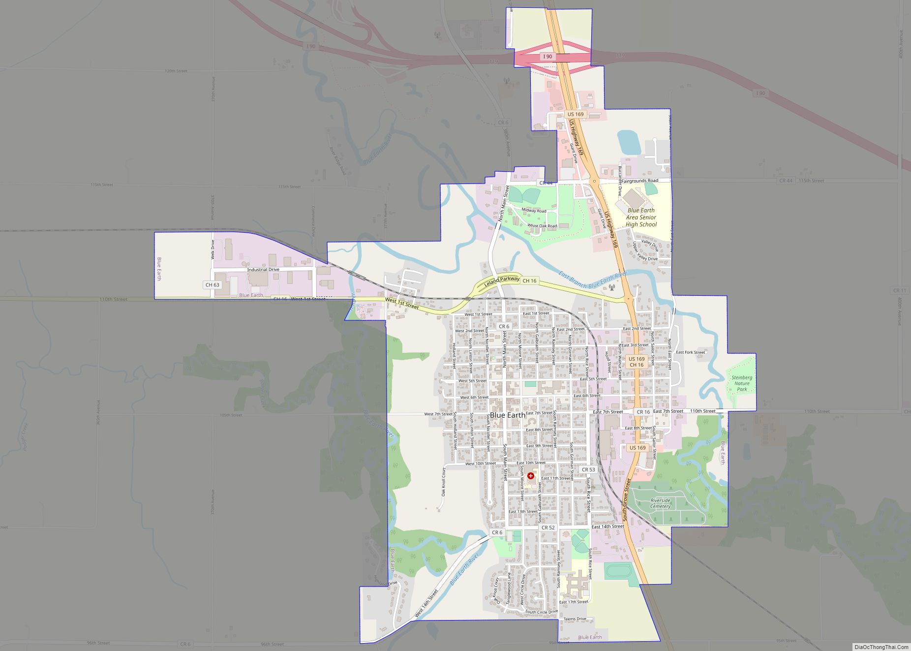
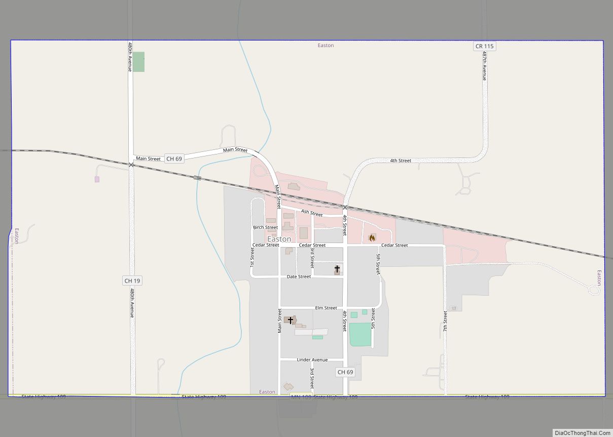
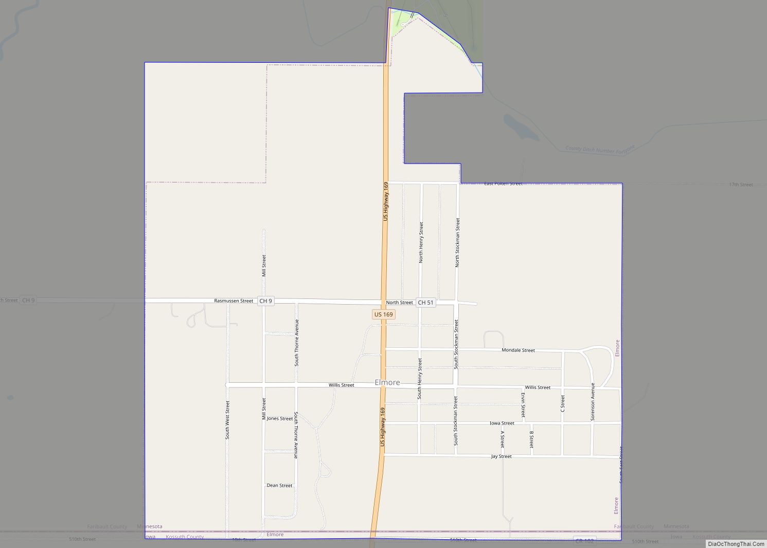
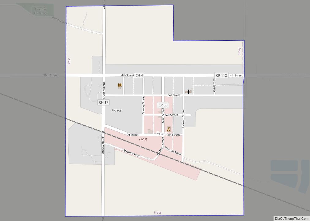
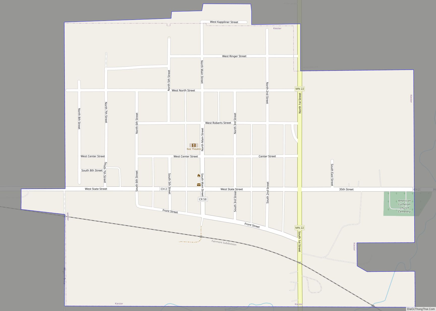
Blue Earth is a city in Faribault County, Minnesota, United States, at the confluence of the east and west branches of the Blue Earth River. The population was 3,174 at the 2020 census. It is the county seat of Faribault County. It is home to a statue of the Jolly Green Giant. Additionally, Interstate 90 is centered on Blue Earth, as the east and west construction teams met here in 1978. As a tribute, there is a golden stripe of concrete on the interstate near Blue Earth. This draws an analogy to the golden spike set in the first transcontinental railroad. Approximately three miles south of Blue Earth is the Blue Earth Municipal Airport.
| Name: | Blue Earth city |
|---|---|
| LSAD Code: | 25 |
| LSAD Description: | city (suffix) |
| State: | Minnesota |
| County: | Faribault County |
| Elevation: | 1,089 ft (332 m) |
| Total Area: | 3.41 sq mi (8.84 km²) |
| Land Area: | 3.32 sq mi (8.59 km²) |
| Water Area: | 0.09 sq mi (0.24 km²) |
| Total Population: | 3,174 |
| Population Density: | 956.60/sq mi (369.29/km²) |
| ZIP code: | 56013 |
| Area code: | 507 |
| FIPS code: | 2706688 |
| GNISfeature ID: | 0640284 |
| Website: | becity.org |
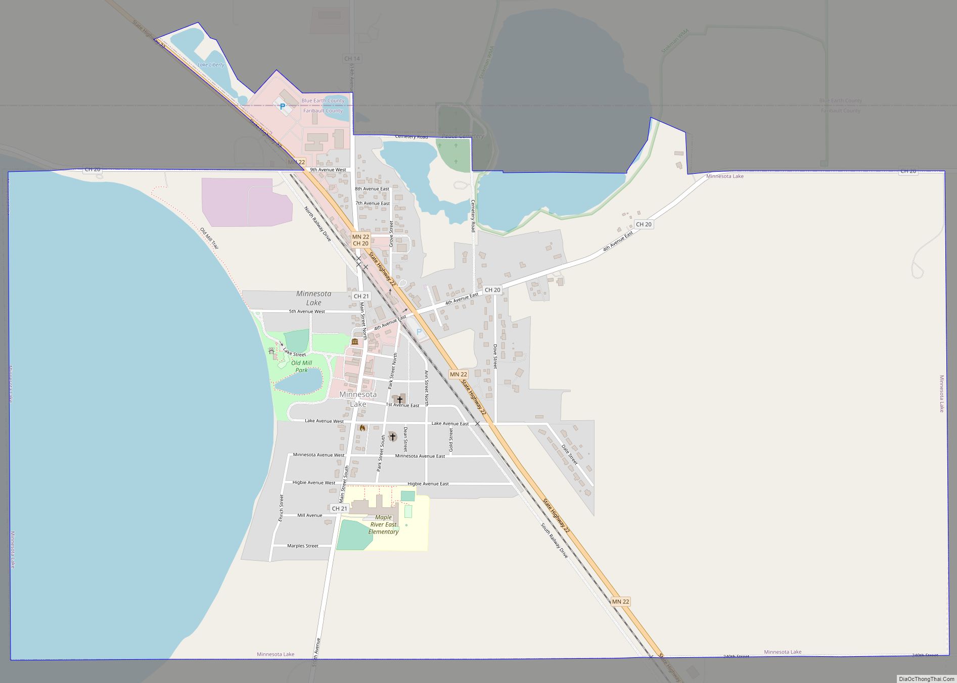
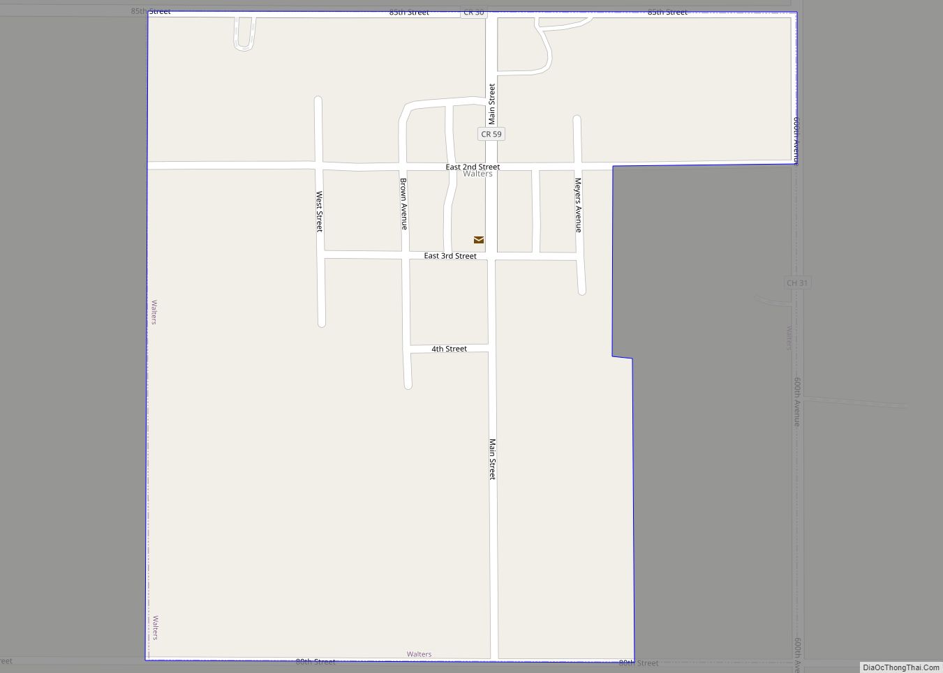
Online Interactive Map
Click on ![]() to view map in "full screen" mode.
to view map in "full screen" mode.
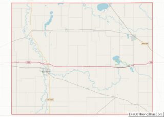
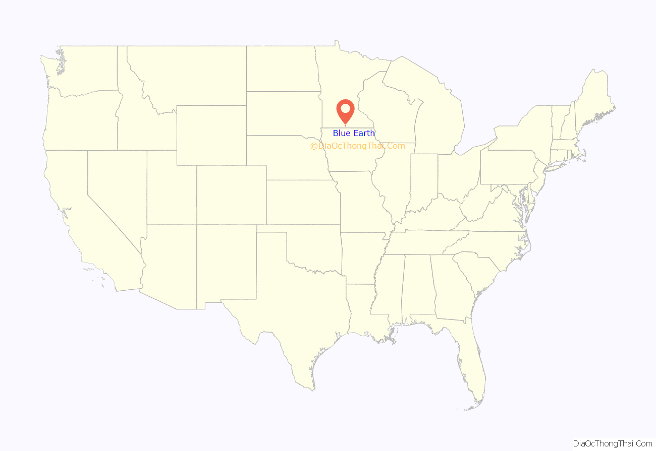
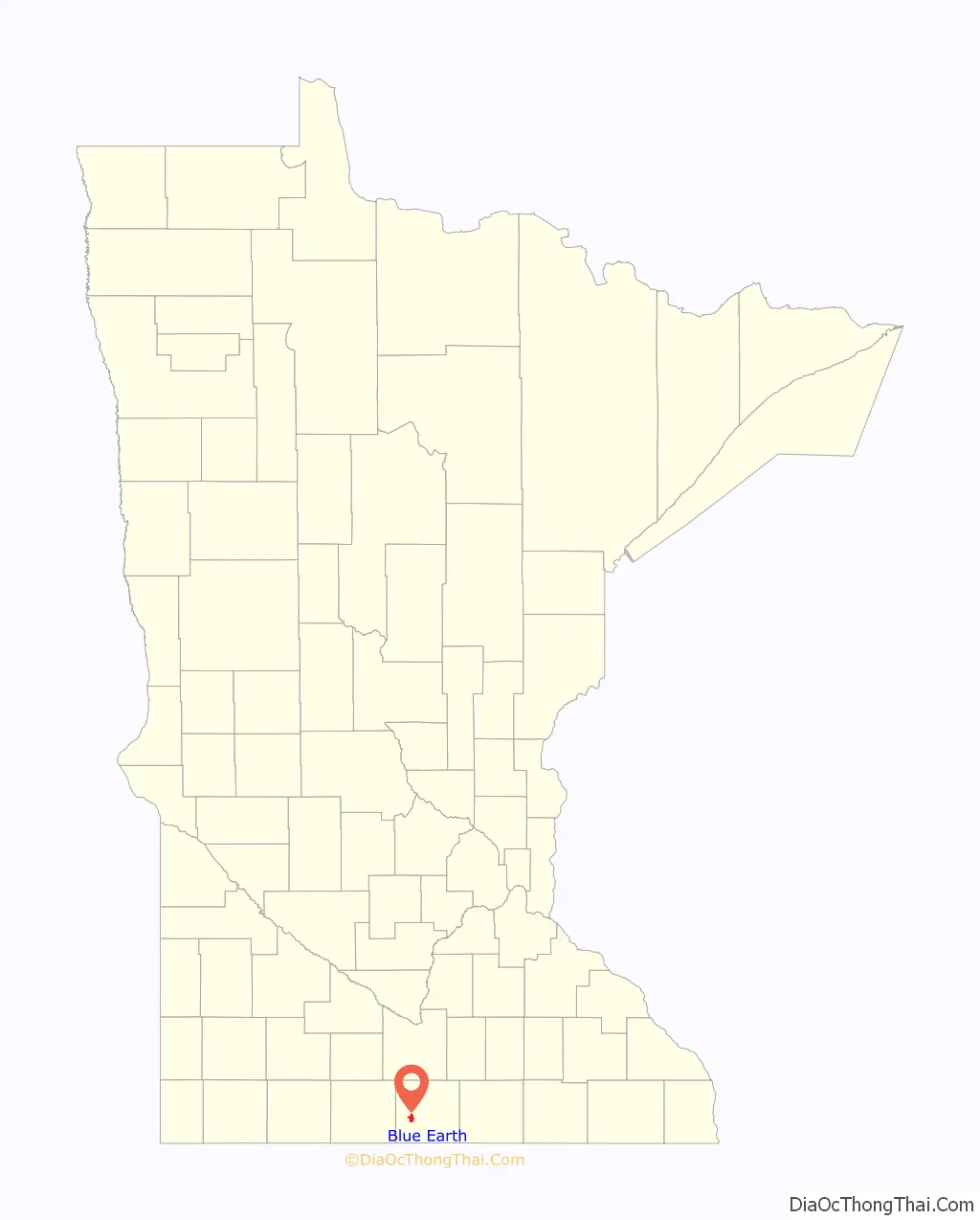
Blue Earth location map. Where is Blue Earth city?
History
Blue Earth was platted in 1856. The city took its name from the Blue Earth River which surrounds the town. The river was given the Dakota name “Mahka-to” (meaning Blue Earth) for the blue-black clay found in the river banks.
A post office has been in operation at Blue Earth since 1856.
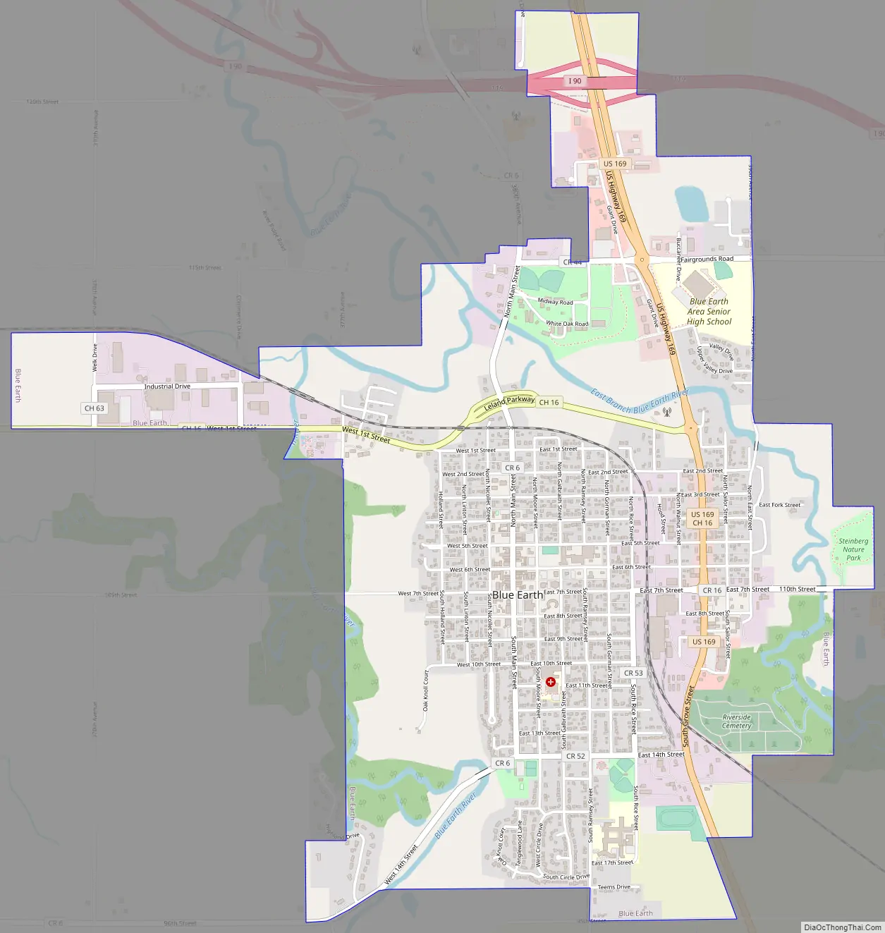
Blue Earth Road Map
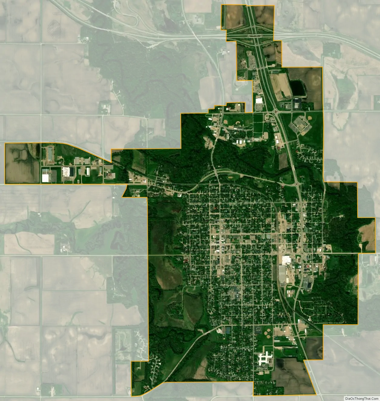
Blue Earth city Satellite Map
Geography
According to the United States Census Bureau, the city has a total area of 3.36 square miles (8.70 km), of which 3.27 square miles (8.47 km) is land and 0.09 square miles (0.23 km) is water.
Interstate 90 and U.S. Route 169 are two of the main routes in the city.
See also
Map of Minnesota State and its subdivision:- Aitkin
- Anoka
- Becker
- Beltrami
- Benton
- Big Stone
- Blue Earth
- Brown
- Carlton
- Carver
- Cass
- Chippewa
- Chisago
- Clay
- Clearwater
- Cook
- Cottonwood
- Crow Wing
- Dakota
- Dodge
- Douglas
- Faribault
- Fillmore
- Freeborn
- Goodhue
- Grant
- Hennepin
- Houston
- Hubbard
- Isanti
- Itasca
- Jackson
- Kanabec
- Kandiyohi
- Kittson
- Koochiching
- Lac qui Parle
- Lake
- Lake of the Woods
- Lake Superior
- Le Sueur
- Lincoln
- Lyon
- Mahnomen
- Marshall
- Martin
- McLeod
- Meeker
- Mille Lacs
- Morrison
- Mower
- Murray
- Nicollet
- Nobles
- Norman
- Olmsted
- Otter Tail
- Pennington
- Pine
- Pipestone
- Polk
- Pope
- Ramsey
- Red Lake
- Redwood
- Renville
- Rice
- Rock
- Roseau
- Saint Louis
- Scott
- Sherburne
- Sibley
- Stearns
- Steele
- Stevens
- Swift
- Todd
- Traverse
- Wabasha
- Wadena
- Waseca
- Washington
- Watonwan
- Wilkin
- Winona
- Wright
- Yellow Medicine
- Alabama
- Alaska
- Arizona
- Arkansas
- California
- Colorado
- Connecticut
- Delaware
- District of Columbia
- Florida
- Georgia
- Hawaii
- Idaho
- Illinois
- Indiana
- Iowa
- Kansas
- Kentucky
- Louisiana
- Maine
- Maryland
- Massachusetts
- Michigan
- Minnesota
- Mississippi
- Missouri
- Montana
- Nebraska
- Nevada
- New Hampshire
- New Jersey
- New Mexico
- New York
- North Carolina
- North Dakota
- Ohio
- Oklahoma
- Oregon
- Pennsylvania
- Rhode Island
- South Carolina
- South Dakota
- Tennessee
- Texas
- Utah
- Vermont
- Virginia
- Washington
- West Virginia
- Wisconsin
- Wyoming