Boise City (/ˈbɔɪs/ BOYSS) is a city in and the county seat of Cimarron County, in the Panhandle of Oklahoma, United States. The population was 1,166 at the 2020 census, a decline of 7.9 percent from 1,266 in 2010.
| Name: | Boise City city |
|---|---|
| LSAD Code: | 25 |
| LSAD Description: | city (suffix) |
| State: | Oklahoma |
| County: | Cimarron County |
| Founded: | 1908 |
| Incorporated: | 1925 |
| Elevation: | 4,167 ft (1,270 m) |
| Total Area: | 1.48 sq mi (3.82 km²) |
| Land Area: | 1.48 sq mi (3.82 km²) |
| Water Area: | 0.00 sq mi (0.00 km²) |
| Total Population: | 1,166 |
| Population Density: | 789.97/sq mi (305.02/km²) |
| ZIP code: | 73933 |
| Area code: | 580 |
| FIPS code: | 4007300 |
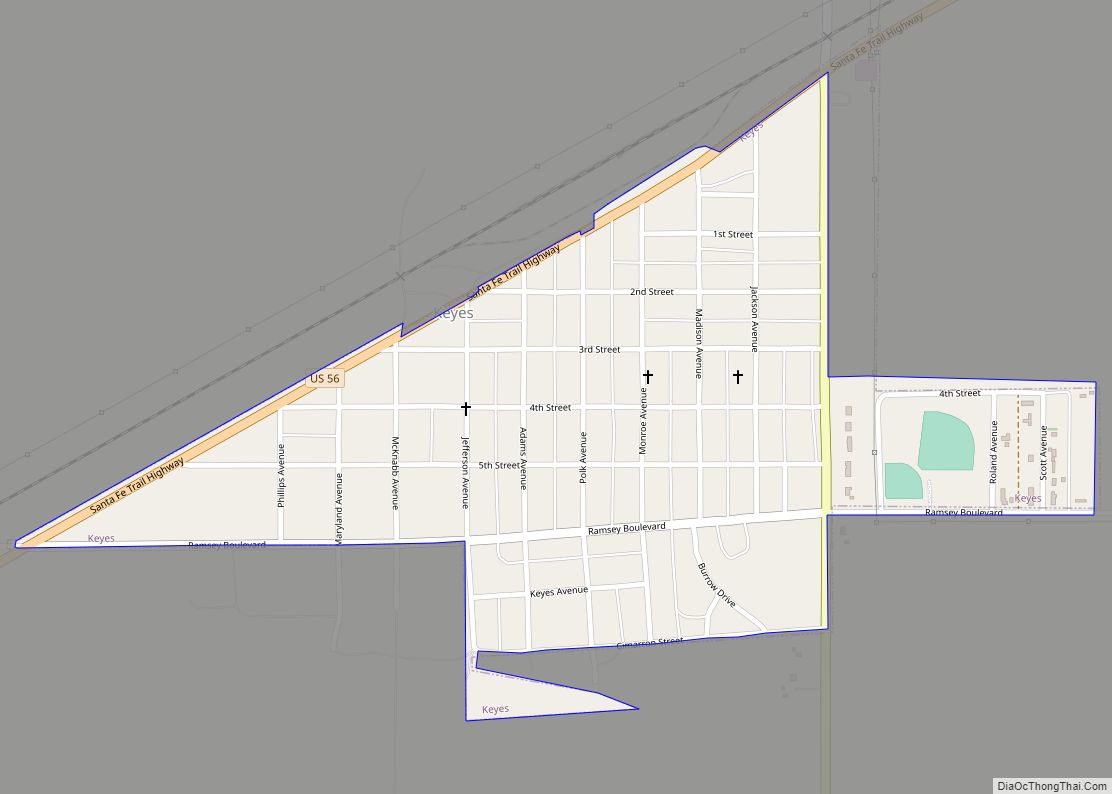
Online Interactive Map
Click on ![]() to view map in "full screen" mode.
to view map in "full screen" mode.
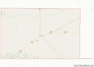
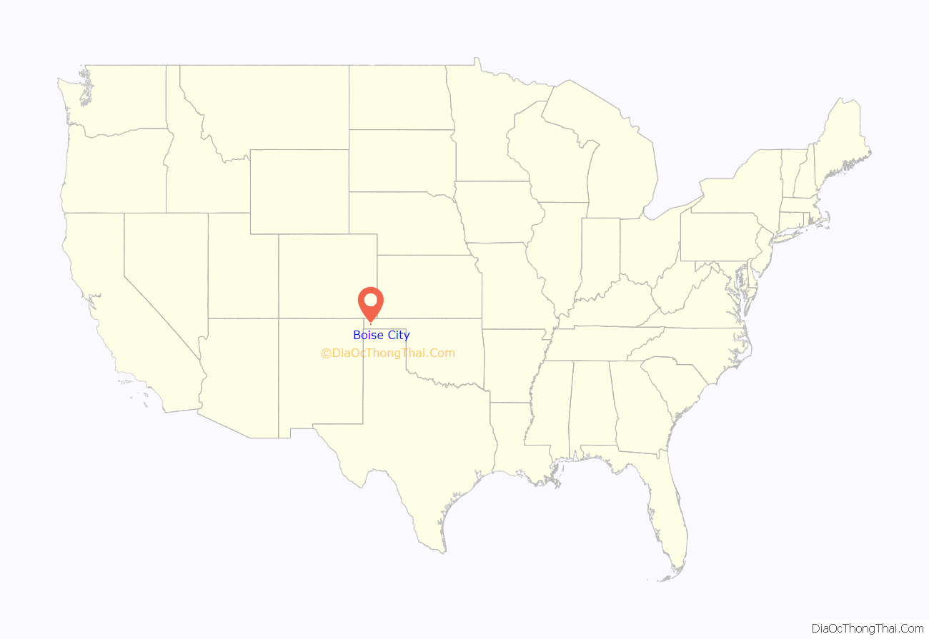
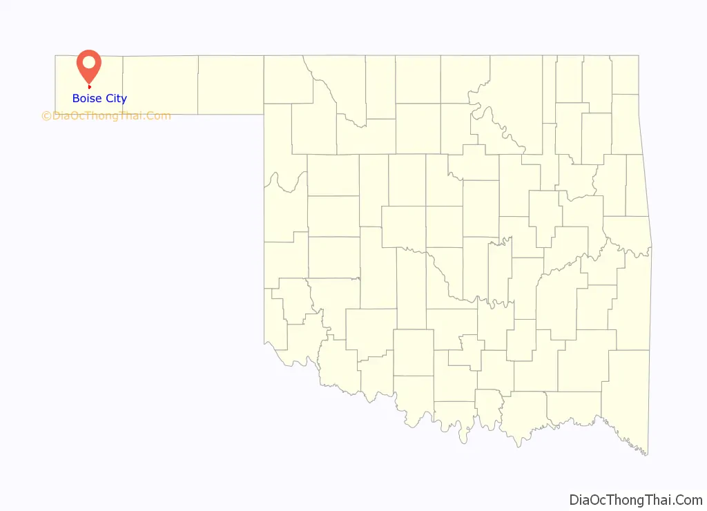
Boise City location map. Where is Boise City city?
History
Boise City was founded in 1908 by developers J. E. Stanley, A. J. Kline, and W. T. Douglas (all doing business as the Southwestern Immigration and Development Company of Guthrie, Oklahoma) who published and distributed brochures promoting the town as an elegant, tree-lined city with paved streets, numerous businesses, railroad service, and an artesian well. They sold 3,000 lots to buyers who discovered, on their arrival, that none of the information in the brochure was true. In addition to using false publicity, the three men did not have title to the lots they sold.
Stanley and Kline were convicted of mail fraud and sent to Leavenworth Federal Penitentiary. Stanley and Kline served two-year terms in the penitentiary. Douglas died of tuberculosis before beginning his sentence. The town nevertheless took shape and incorporated on July 20, 1925.
The Encyclopedia of Oklahoma History and Culture says that the origin of the town name is unclear, but offers three possibilities: (1) a Captain Boice who was a hero in the Civil War, (2) the town of Boise, Idaho or (3) the Boise Cattle Company, which ran cattle in the area. It was speculated in Ken Burns’ documentary, The Dust Bowl, that the town name was chosen as part of the original land scam to evoke a false image of the town, as “boisé” is French for “wooded”.
Boise City’s prosperity in the 1930s, like that of Cimarron County generally, was severely affected by its location at the heart of the Dust Bowl region.
Boise City was the location of an unusual event during World War II when it was mistakenly bombed by a friendly U.S. bomber crew during training. The bombing occurred on July 5, 1943, at approximately 12:30 a.m. by a B-17 Flying Fortress Bomber. This occurred because pilots performing target practice became disoriented and mistook the four lights centered around the town’s main square as their target. No one was killed in the attack and there was minimal damage, as only practice bombs with four pounds of dynamite and ninety pounds of sand were used and the square was deserted, but the pilots were embarrassed. For the 50th anniversary of the incident, the crew of the bomber was invited back to Boise City, but all members declined, some for health reasons and others because they did not want to draw more attention to their mishap. The B-17’s former radio operator did, however, send an audio tape that was played at the celebration.
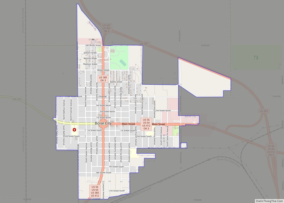
Boise City Road Map
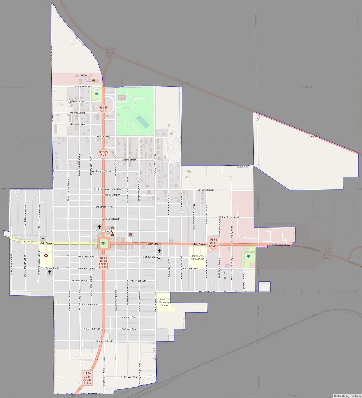
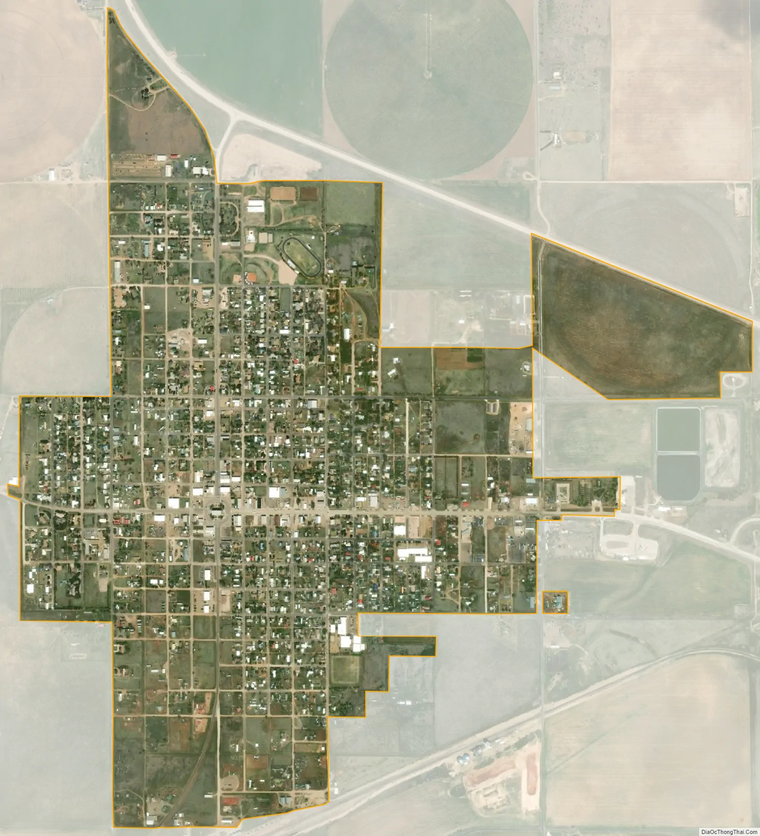
Boise City city Satellite Map
Geography
Boise City is located at 36°43′48″N 102°30′41″W / 36.73000°N 102.51139°W / 36.73000; -102.51139 (36.730115, -102.511419). According to the United States Census Bureau, the city has a total area of 1.3 square miles (3.4 km), all land.
Climate
Boise City experiences a semi-arid climate (Köppen BSk) with mild, dry winters and long, hot, wetter summers. There is a large degree of diurnal temperature variation year-round.
According to weather data tallied between July 1, 1985, and June 30, 2015, for every location in the National Oceanic and Atmospheric Administration’s official climate database, Boise City, Oklahoma, is the snowiest place in the state of Oklahoma with an average of 31.8 inches of snow per year.
See also
Map of Oklahoma State and its subdivision:- Adair
- Alfalfa
- Atoka
- Beaver
- Beckham
- Blaine
- Bryan
- Caddo
- Canadian
- Carter
- Cherokee
- Choctaw
- Cimarron
- Cleveland
- Coal
- Comanche
- Cotton
- Craig
- Creek
- Custer
- Delaware
- Dewey
- Ellis
- Garfield
- Garvin
- Grady
- Grant
- Greer
- Harmon
- Harper
- Haskell
- Hughes
- Jackson
- Jefferson
- Johnston
- Kay
- Kingfisher
- Kiowa
- Latimer
- Le Flore
- Lincoln
- Logan
- Love
- Major
- Marshall
- Mayes
- McClain
- McCurtain
- McIntosh
- Murray
- Muskogee
- Noble
- Nowata
- Okfuskee
- Oklahoma
- Okmulgee
- Osage
- Ottawa
- Pawnee
- Payne
- Pittsburg
- Pontotoc
- Pottawatomie
- Pushmataha
- Roger Mills
- Rogers
- Seminole
- Sequoyah
- Stephens
- Texas
- Tillman
- Tulsa
- Wagoner
- Washington
- Washita
- Woods
- Woodward
- Alabama
- Alaska
- Arizona
- Arkansas
- California
- Colorado
- Connecticut
- Delaware
- District of Columbia
- Florida
- Georgia
- Hawaii
- Idaho
- Illinois
- Indiana
- Iowa
- Kansas
- Kentucky
- Louisiana
- Maine
- Maryland
- Massachusetts
- Michigan
- Minnesota
- Mississippi
- Missouri
- Montana
- Nebraska
- Nevada
- New Hampshire
- New Jersey
- New Mexico
- New York
- North Carolina
- North Dakota
- Ohio
- Oklahoma
- Oregon
- Pennsylvania
- Rhode Island
- South Carolina
- South Dakota
- Tennessee
- Texas
- Utah
- Vermont
- Virginia
- Washington
- West Virginia
- Wisconsin
- Wyoming