Maricopa is a city in the Gila River Valley in Pinal County, Arizona, United States. With 66,290 residents as of 2022, Maricopa is the largest incorporated municipality in Pinal County.
| Name: | Maricopa city |
|---|---|
| LSAD Code: | 25 |
| LSAD Description: | city (suffix) |
| State: | Arizona |
| County: | Pinal County |
| Incorporated: | 2003 |
| Elevation: | 1,201 ft (366 m) |
| Total Area: | 42.59 sq mi (110.32 km²) |
| Land Area: | 42.49 sq mi (110.06 km²) |
| Water Area: | 0.10 sq mi (0.26 km²) |
| Total Population: | 66,290 |
| Population Density: | 1,560.13/sq mi (600.89/km²) |
| ZIP code: | 85138, 85139 |
| Area code: | 520 |
| FIPS code: | 0444410 |
| GNISfeature ID: | 2411032 |
| Website: | https://www.maricopa-az.gov/home |
Online Interactive Map
Click on ![]() to view map in "full screen" mode.
to view map in "full screen" mode.
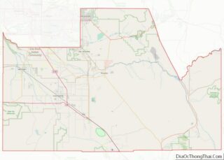
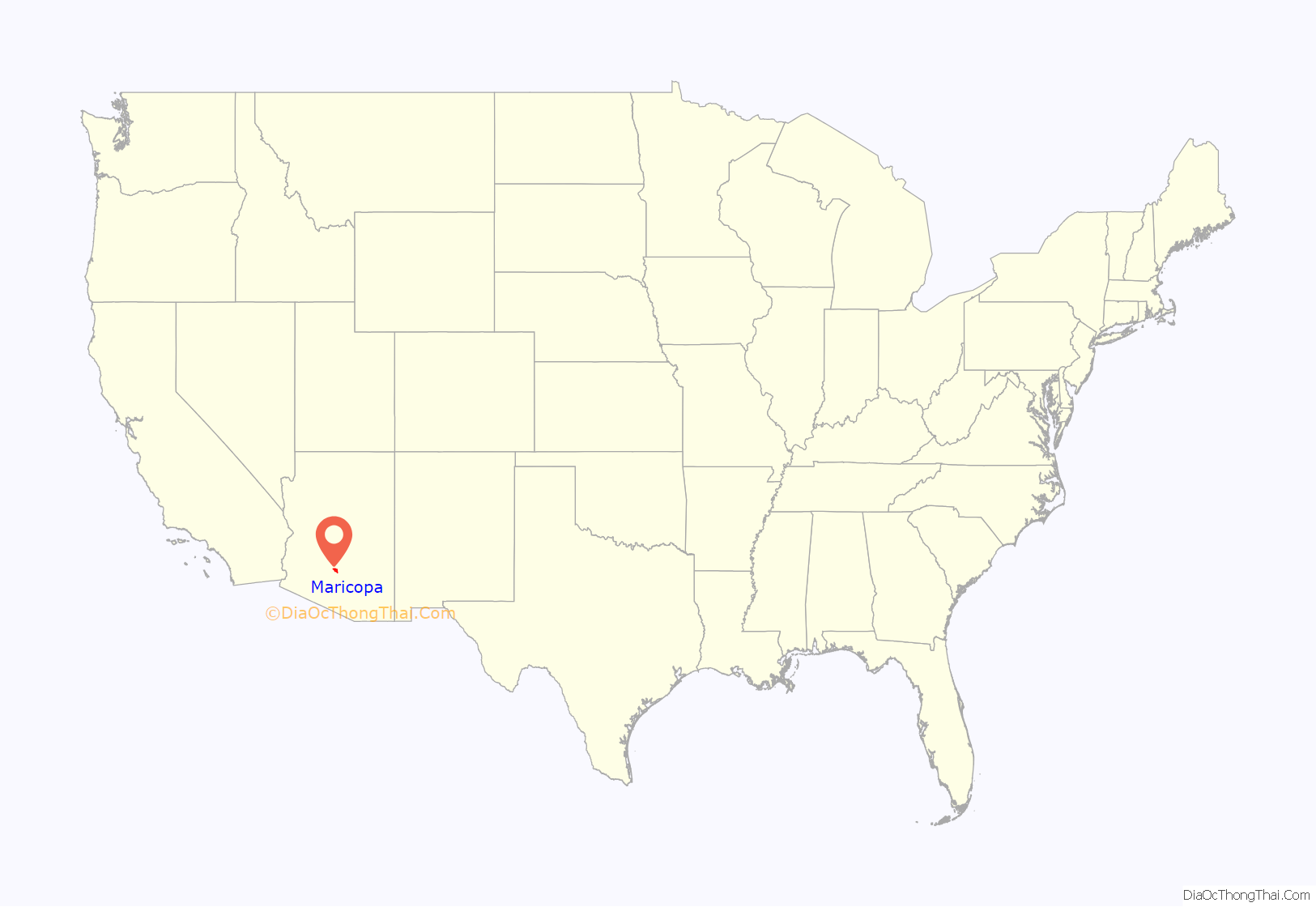
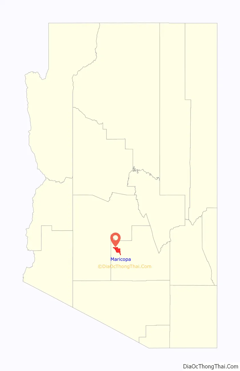
Maricopa location map. Where is Maricopa city?
History
Maricopa has had three locations over the years: Maricopa Wells, Maricopaville and Maricopa Junction; the latter gradually became known as Maricopa. It started as an oasis around a series of watering holes eight miles north of present-day Maricopa, and about a mile west of Pima Butte. European-American traders and travelers called it Maricopa Wells. Several of Arizona’s rivers, the Gila, Santa Cruz, Vekol and Santa Rosa provided this oasis in the desert with an ample supply of water during this period of time.
During the late 1800s, Maricopa Wells was one of the most important relay stations along the San Antonio-San Diego Mail Line and the later more famous Butterfield Overland Mail Route. Today, very little remains of this once bustling community, but it played an important part in the progress and development of the Southwest. It was one of the best-known spots in Arizona during this period of time because it had a reliable source of water, and offered an abundant supply of food. The peaceful Pima and Maricopa farmers who lived and farmed nearby sold supplies to travelers and migrants.
The most prosperous period of time for Maricopa Wells was in the 1870s. During this time the trading center at the Wells provided water and food for not only the east–west travelers, but those who traveled to the north to Phoenix. Fairly good roads had been built by James A. Moore, the proprietor at Maricopa Wells, to all points north, and the Wells was a constant hubbub of activity.
Maricopaville developed south and west of the Wells, following construction of a railroad line from this terminus to Phoenix. In 1879, the Southern Pacific Railroad was in the process of building a railroad line from Yuma to Tucson, and a second railroad line was to be built from Maricopaville, wrapping around the western edge of South Mountain into Phoenix. With the railroad, Maricopaville took on the appearance of a gold rush California boom town, as men worked day and night building hotels, saloons, warehouses, restaurants, theaters, etc. One local newspaper at the time reckoned that with its thousands of people and good location, Maricopaville would be an ideal choice for the location of the state capital.
But the railroad never built the anticipated line from Maricopaville into Phoenix. Tempe also wanted to be on the railroad line and lobbied the territorial government to gain a stop. Officials agreed. The settlement known as Maricopaville was essentially rebuilt three miles to the east (to the present location of Maricopa) in the early 1880s, in order to accommodate the Maricopa & Phoenix line, planned to go through Kyrene and Tempe to the north on the way to Phoenix. The first train departed from Maricopa for Phoenix on July 4, 1887. All east–west rail travelers had to stop at Maricopa, and those who wanted to go north had to shift to the M & P Railroad.
Maricopa was officially incorporated as a city on October 15, 2003, becoming the 88th incorporated municipality in Arizona. Between 2000 and 2010, the city’s population grew from 1,040 residents to 43,482, an increase of 4080%. In 2018, estimates approved by the US Census Bureau and Arizona State Demographer’s Office put Maricopa’s population at 51,977 pushing the city over the 50,000 mark for the first time. Furthermore, data released from the official 2020 Census in August of 2021 put Maricopa at 58,125, surpassing Casa Grande to become the most populous incorporated place in Pinal County and second most populous place in the county overall, behind the unincorporated San Tan Valley. Population of Maricopa has continued to grow, reaching 66,290 residents as of 2022; a 6.2% increase from 2021, making Maricopa the 12th fastest growing municipality in the United States and second fastest growing in Arizona (behind Queen Creek, which is partially in Pinal County).
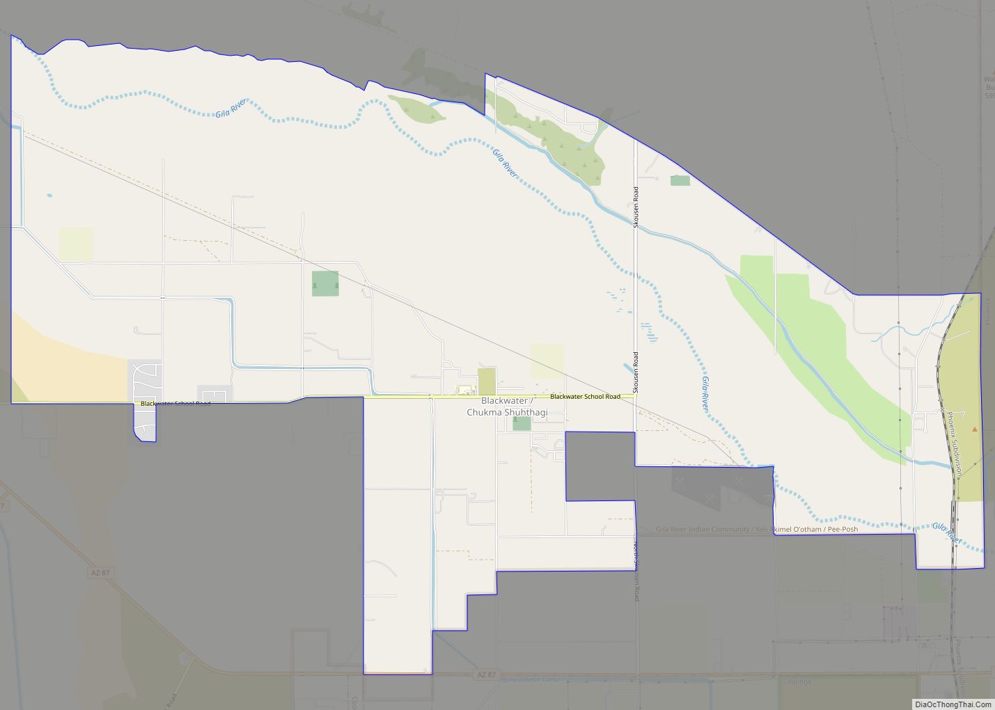
A part of the city is within the boundaries of the Ak-Chin Indian Community. The small, federally recognized tribe has developed Harrah’s Ak-Chin Casino and related resort, a multi-entertainment cinema complex, and operates a golf course; all are open to the public and draw attendees from Maricopa as well as the greater Phoenix area. In addition the tribe operates the Ak-Chin Regional Airport and an industrial park. A 2011 study said that its casino and resort made up a large part of the economy of Pinal County, in terms of number of jobs and revenue generated.
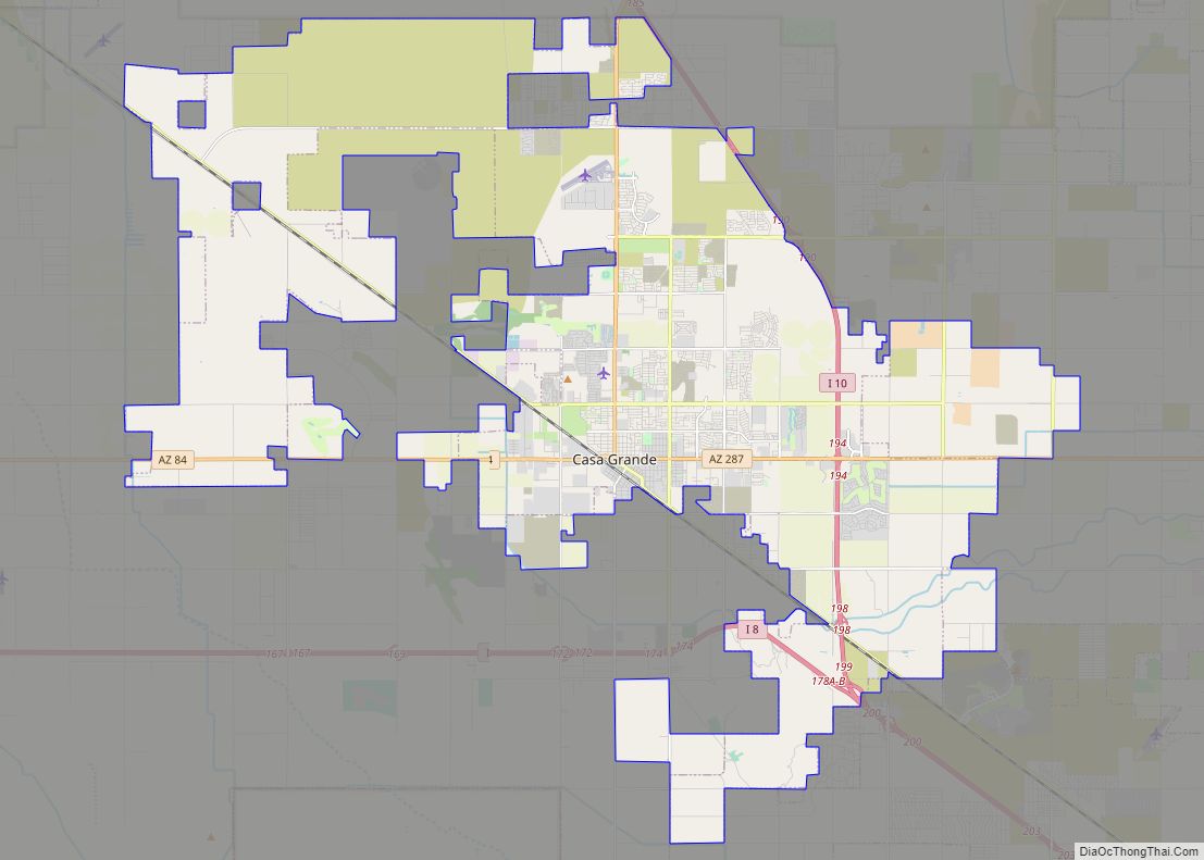
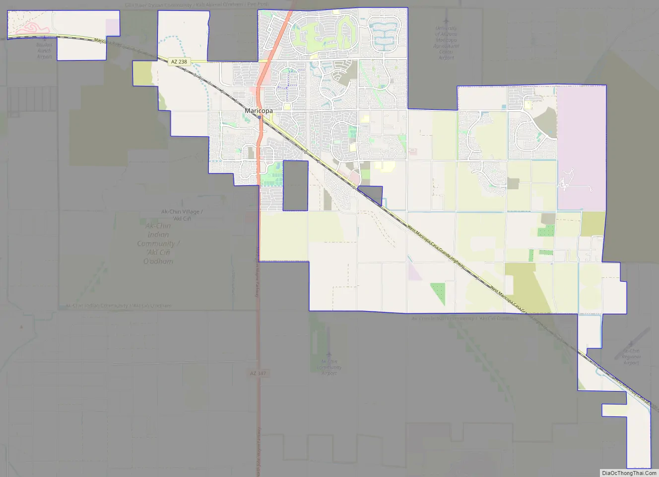
Maricopa Road Map
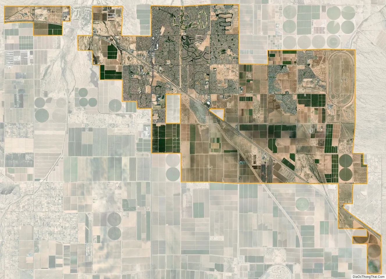
Maricopa city Satellite Map
Geography
Maricopa is located at 33°3′24″N 112°2′48″W / 33.05667°N 112.04667°W / 33.05667; -112.04667 (33.056702, -112.046656).
According to the United States Census Bureau, the city has a total area of 31.9 square miles (83 km), all land.
The topography in Maricopa is flat, with several mountain ranges 10 to 20 miles away. The elevation of Maricopa is 1190 feet.
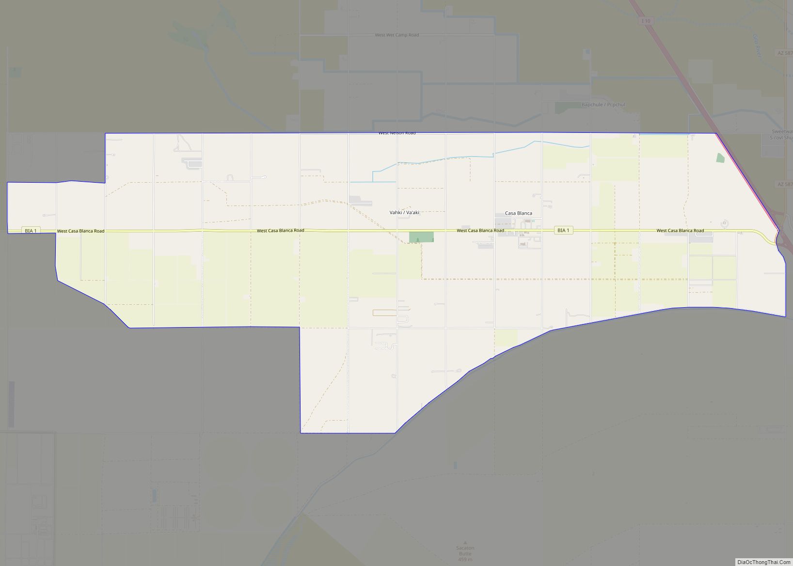
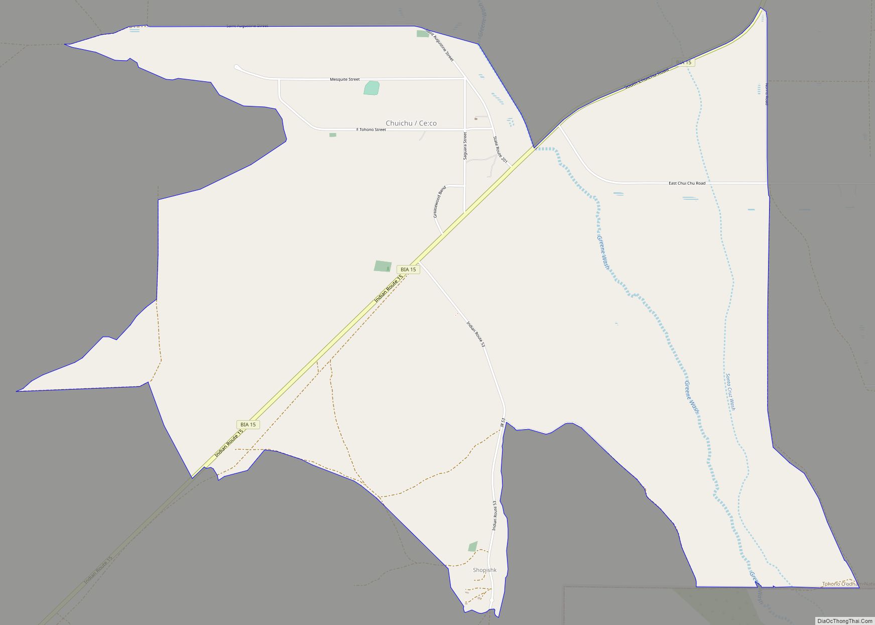
Surrounding municipalities
See also
Map of Arizona State and its subdivision: Map of other states:- Alabama
- Alaska
- Arizona
- Arkansas
- California
- Colorado
- Connecticut
- Delaware
- District of Columbia
- Florida
- Georgia
- Hawaii
- Idaho
- Illinois
- Indiana
- Iowa
- Kansas
- Kentucky
- Louisiana
- Maine
- Maryland
- Massachusetts
- Michigan
- Minnesota
- Mississippi
- Missouri
- Montana
- Nebraska
- Nevada
- New Hampshire
- New Jersey
- New Mexico
- New York
- North Carolina
- North Dakota
- Ohio
- Oklahoma
- Oregon
- Pennsylvania
- Rhode Island
- South Carolina
- South Dakota
- Tennessee
- Texas
- Utah
- Vermont
- Virginia
- Washington
- West Virginia
- Wisconsin
- Wyoming