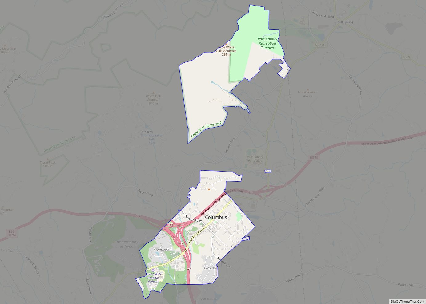
Columbus is a town in Polk County, North Carolina, United States. The population was 999 at the 2010 census. It is the county seat of Polk County.
| Name: | Columbus town |
|---|---|
| LSAD Code: | 43 |
| LSAD Description: | town (suffix) |
| State: | North Carolina |
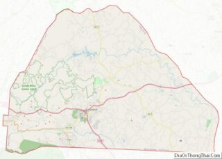
| County: | Polk County |
| Elevation: | 1,102 ft (336 m) |
| Total Area: | 3.77 sq mi (9.76 km²) |
| Land Area: | 3.76 sq mi (9.73 km²) |
| Water Area: | 0.01 sq mi (0.03 km²) |
| Total Population: | 1,060 |
| Population Density: | 282.14/sq mi (108.94/km²) |
| ZIP code: | 28722 |
| Area code: | 828 |
| FIPS code: | 3713980 |
| GNISfeature ID: | 0983403 |
| Website: | www.columbusnc.com |
Online Interactive Map
Click on ![]() to view map in "full screen" mode.
to view map in "full screen" mode.
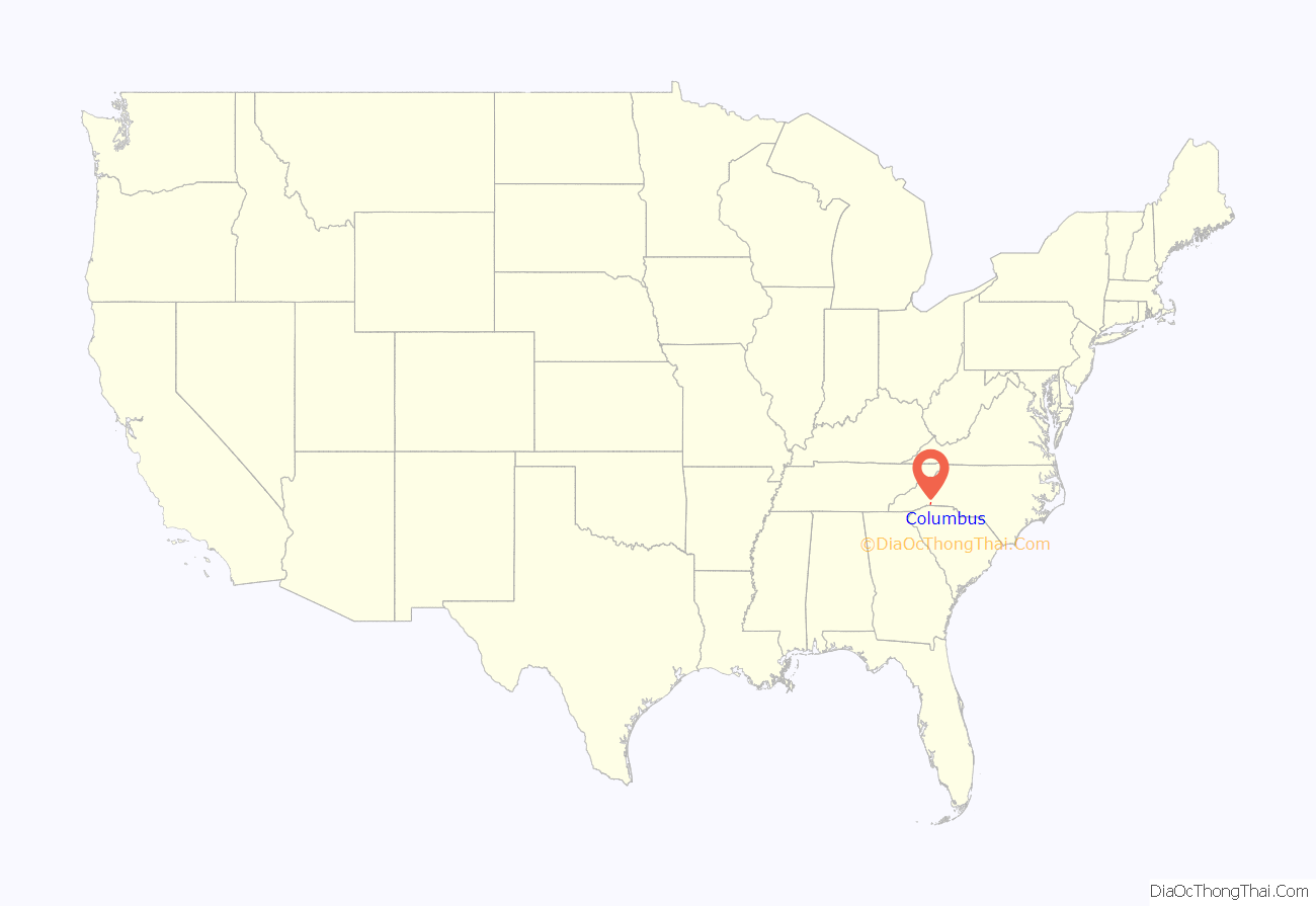
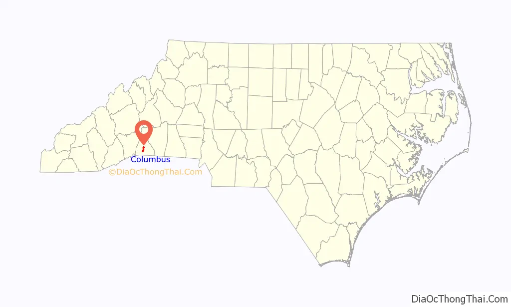
Columbus location map. Where is Columbus town?
History
The Green River Plantation, J. G. Hughes House, and Polk County Courthouse are listed on the National Register of Historic Places.
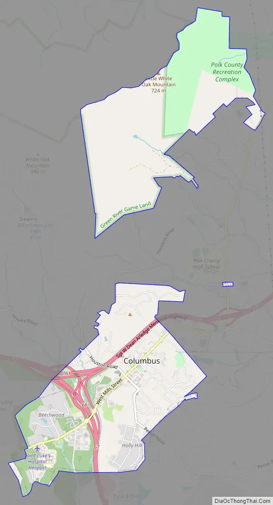
Columbus Road Map
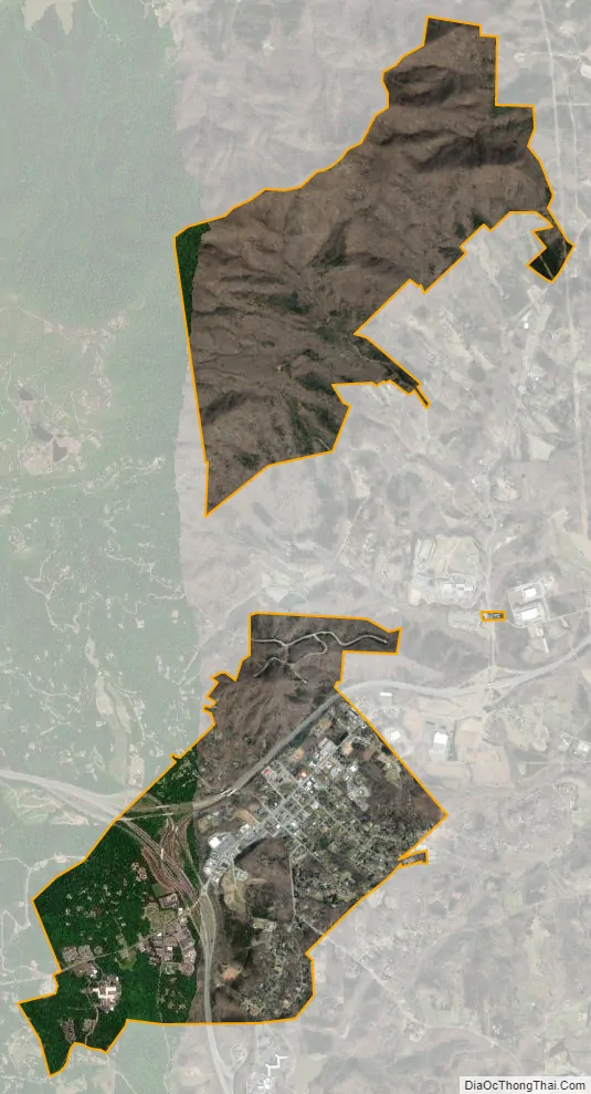
Columbus city Satellite Map
Geography
Columbus is located at 35°15′2″N 82°12′8″W / 35.25056°N 82.20222°W / 35.25056; -82.20222 (35.250669, -82.202115). The town is concentrated along North Carolina Highway 108, southeast of Asheville, and a few miles north of the North Carolina-South Carolina border. U.S. Route 74 passes through the northern part of town, and Interstate 26 passes through the eastern section.
According to the United States Census Bureau, the town has a total area of 1.8 square miles (4.7 km), all land.
See also
Map of North Carolina State and its subdivision:- Alamance
- Alexander
- Alleghany
- Anson
- Ashe
- Avery
- Beaufort
- Bertie
- Bladen
- Brunswick
- Buncombe
- Burke
- Cabarrus
- Caldwell
- Camden
- Carteret
- Caswell
- Catawba
- Chatham
- Cherokee
- Chowan
- Clay
- Cleveland
- Columbus
- Craven
- Cumberland
- Currituck
- Dare
- Davidson
- Davie
- Duplin
- Durham
- Edgecombe
- Forsyth
- Franklin
- Gaston
- Gates
- Graham
- Granville
- Greene
- Guilford
- Halifax
- Harnett
- Haywood
- Henderson
- Hertford
- Hoke
- Hyde
- Iredell
- Jackson
- Johnston
- Jones
- Lee
- Lenoir
- Lincoln
- Macon
- Madison
- Martin
- McDowell
- Mecklenburg
- Mitchell
- Montgomery
- Moore
- Nash
- New Hanover
- Northampton
- Onslow
- Orange
- Pamlico
- Pasquotank
- Pender
- Perquimans
- Person
- Pitt
- Polk
- Randolph
- Richmond
- Robeson
- Rockingham
- Rowan
- Rutherford
- Sampson
- Scotland
- Stanly
- Stokes
- Surry
- Swain
- Transylvania
- Tyrrell
- Union
- Vance
- Wake
- Warren
- Washington
- Watauga
- Wayne
- Wilkes
- Wilson
- Yadkin
- Yancey
- Alabama
- Alaska
- Arizona
- Arkansas
- California
- Colorado
- Connecticut
- Delaware
- District of Columbia
- Florida
- Georgia
- Hawaii
- Idaho
- Illinois
- Indiana
- Iowa
- Kansas
- Kentucky
- Louisiana
- Maine
- Maryland
- Massachusetts
- Michigan
- Minnesota
- Mississippi
- Missouri
- Montana
- Nebraska
- Nevada
- New Hampshire
- New Jersey
- New Mexico
- New York
- North Carolina
- North Dakota
- Ohio
- Oklahoma
- Oregon
- Pennsylvania
- Rhode Island
- South Carolina
- South Dakota
- Tennessee
- Texas
- Utah
- Vermont
- Virginia
- Washington
- West Virginia
- Wisconsin
- Wyoming