Landrum is a city in Spartanburg County, South Carolina, United States. The population was 2,376 at the 2010 census.
Landrum was founded in 1880 and incorporated in 1912. It is located just west of Interstate 26 between Spartanburg and Asheville, North Carolina.
| Name: | Landrum city |
|---|---|
| LSAD Code: | 25 |
| LSAD Description: | city (suffix) |
| State: | South Carolina |
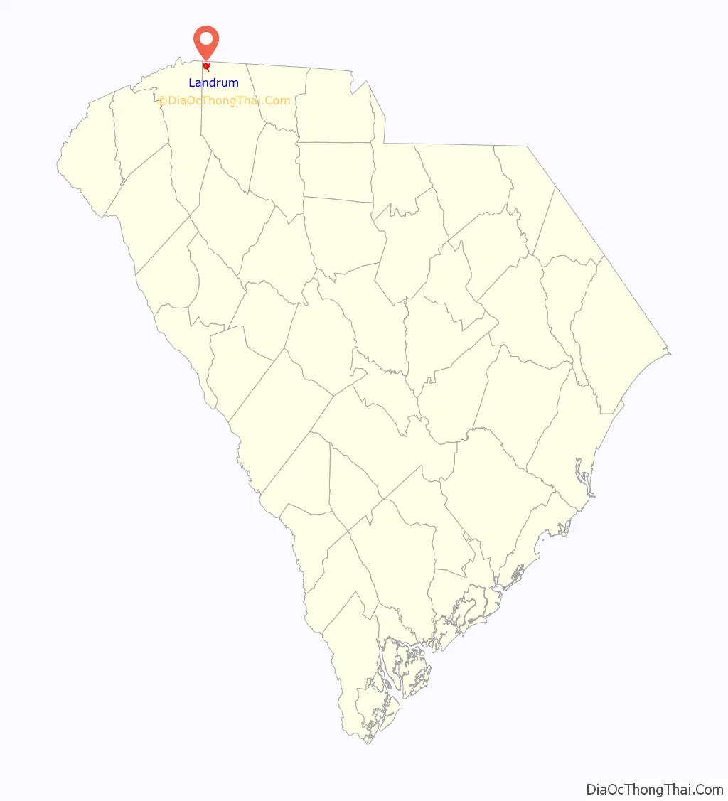
| County: | Spartanburg County |
| Elevation: | 1,047 ft (319 m) |
| Total Area: | 2.65 sq mi (6.87 km²) |
| Land Area: | 2.65 sq mi (6.85 km²) |
| Water Area: | 0.01 sq mi (0.02 km²) |
| Total Population: | 2,481 |
| Population Density: | 938.00/sq mi (362.11/km²) |
| ZIP code: | 29356 |
| Area code: | 864 |
| FIPS code: | 4540075 |
| GNISfeature ID: | 1246289 |
| Website: | http://cityoflandrumsc.com |
Online Interactive Map
Click on ![]() to view map in "full screen" mode.
to view map in "full screen" mode.
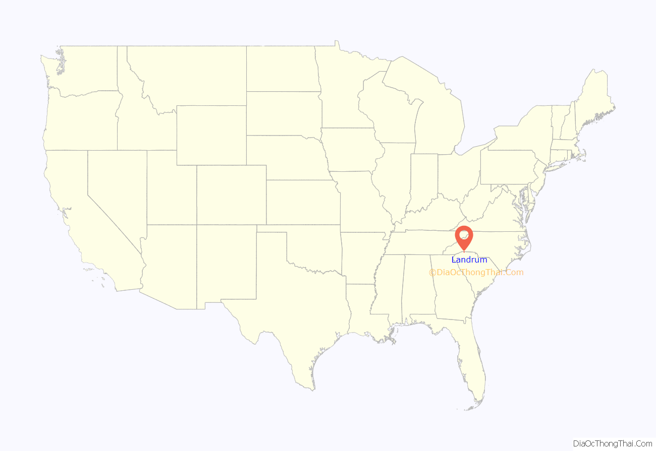
Landrum location map. Where is Landrum city?
History
The Landrum area was settled circa 1760 by homesteaders from Pennsylvania, Maryland and Virginia. There, they built a fort approximately two miles from the current City of Landrum. The town of Landrum was founded in 1880 after the railroad was extended north from Spartanburg and named after John Gill Landrum, who gave the land for construction of the local depot. Landrum was incorporated as a town three years later. In 1973, it was made into a city.
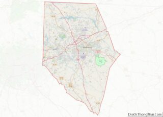
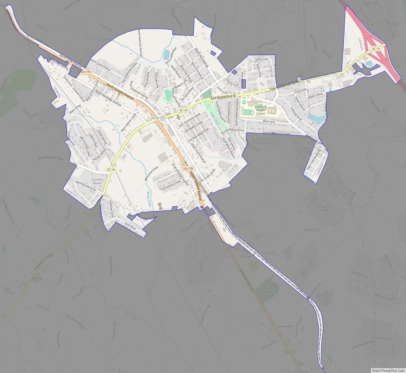
Landrum Road Map
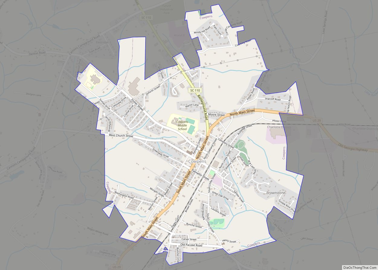
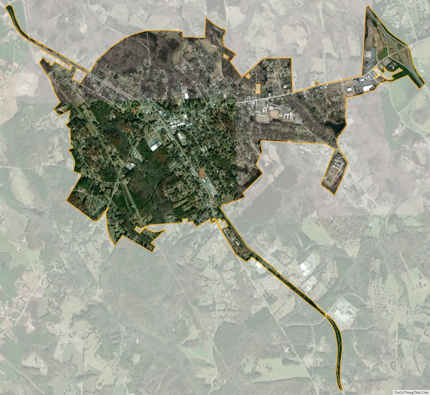
Landrum city Satellite Map
Geography
Landrum is located at 35°10′31″N 82°11′10″W / 35.17528°N 82.18611°W / 35.17528; -82.18611 (35.175326, -82.186036). The city is concentrated around the intersection of U.S. Route 176 and South Carolina Highway 14, just south of the North Carolina-South Carolina border.
According to the United States Census Bureau, the city has a total area of 2.3 square miles (6.0 km), of which 0.43% is water.
See also
Map of South Carolina State and its subdivision:- Abbeville
- Aiken
- Allendale
- Anderson
- Bamberg
- Barnwell
- Beaufort
- Berkeley
- Calhoun
- Charleston
- Cherokee
- Chester
- Chesterfield
- Clarendon
- Colleton
- Darlington
- Dillon
- Dorchester
- Edgefield
- Fairfield
- Florence
- Georgetown
- Greenville
- Greenwood
- Hampton
- Horry
- Jasper
- Kershaw
- Lancaster
- Laurens
- Lee
- Lexington
- Marion
- Marlboro
- McCormick
- Newberry
- Oconee
- Orangeburg
- Pickens
- Richland
- Saluda
- Spartanburg
- Sumter
- Union
- Williamsburg
- York
- Alabama
- Alaska
- Arizona
- Arkansas
- California
- Colorado
- Connecticut
- Delaware
- District of Columbia
- Florida
- Georgia
- Hawaii
- Idaho
- Illinois
- Indiana
- Iowa
- Kansas
- Kentucky
- Louisiana
- Maine
- Maryland
- Massachusetts
- Michigan
- Minnesota
- Mississippi
- Missouri
- Montana
- Nebraska
- Nevada
- New Hampshire
- New Jersey
- New Mexico
- New York
- North Carolina
- North Dakota
- Ohio
- Oklahoma
- Oregon
- Pennsylvania
- Rhode Island
- South Carolina
- South Dakota
- Tennessee
- Texas
- Utah
- Vermont
- Virginia
- Washington
- West Virginia
- Wisconsin
- Wyoming