Saluda is a city in Polk and Henderson counties in the U.S. state of North Carolina. The population was 713 at the 2010 census. Saluda is famous for sitting at the top of the Norfolk Southern Railway’s Saluda Grade, which was the steepest main line standard-gauge railway line in the United States until Norfolk Southern ceased operations on the line in 2001. Saluda is close to the South Carolina state line, between Asheville, North Carolina, and Spartanburg, South Carolina.
| Name: | Saluda city |
|---|---|
| LSAD Code: | 25 |
| LSAD Description: | city (suffix) |
| State: | North Carolina |
| County: | Henderson County, Polk County |
| Incorporated: | 1881 |
| Elevation: | 2,103 ft (641 m) |
| Total Area: | 1.55 sq mi (4.03 km²) |
| Land Area: | 1.55 sq mi (4.03 km²) |
| Water Area: | 0.00 sq mi (0.00 km²) |
| Total Population: | 631 |
| Population Density: | 405.79/sq mi (156.64/km²) |
| ZIP code: | 28773 |
| Area code: | 828 |
| FIPS code: | 3758920 |
| GNISfeature ID: | 0994200 |
| Website: | saluda.com |
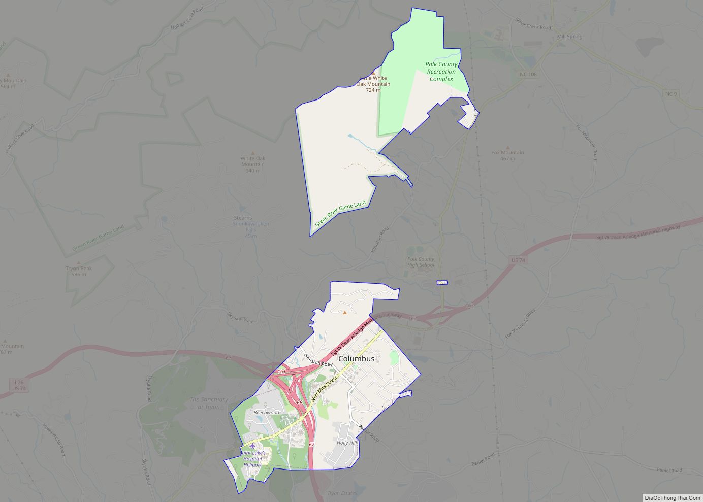
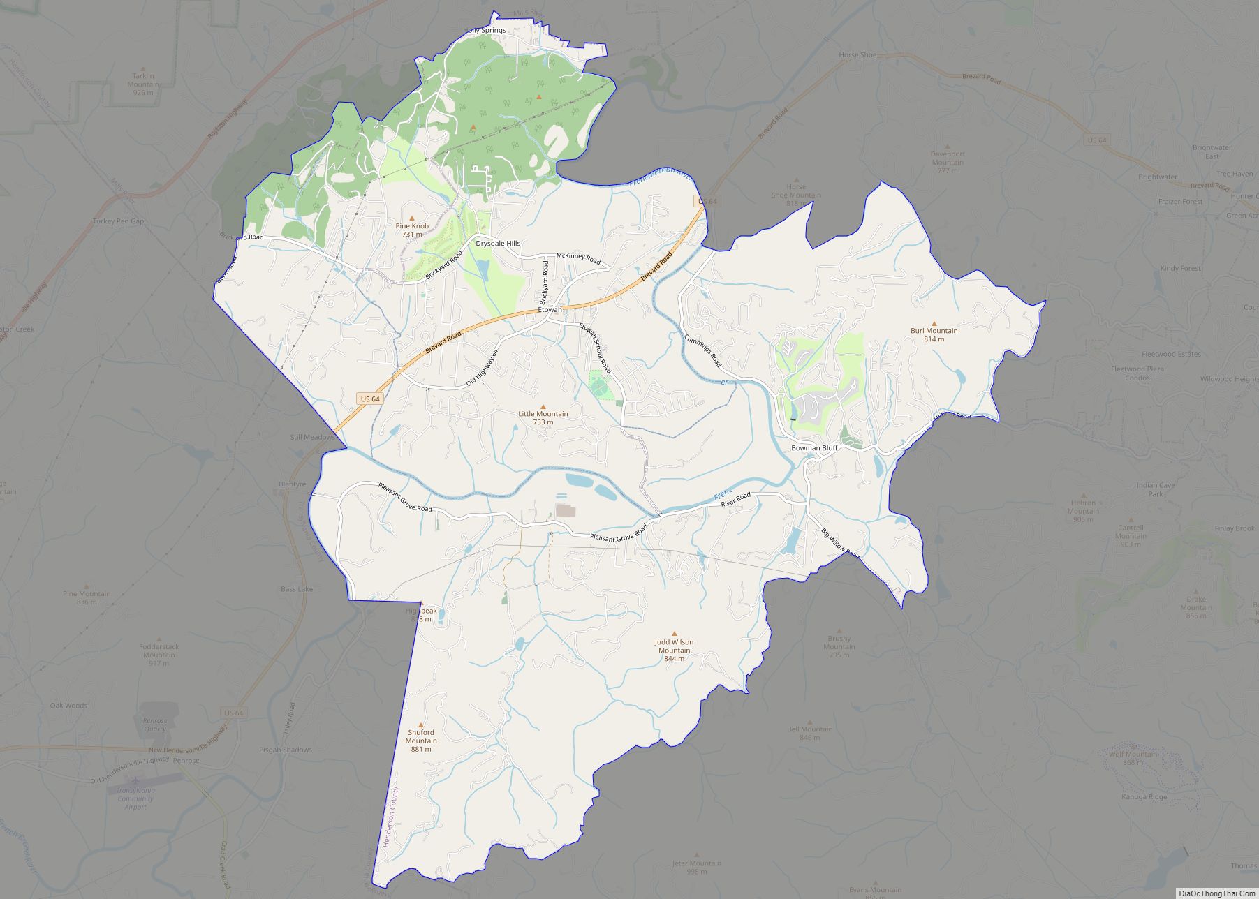
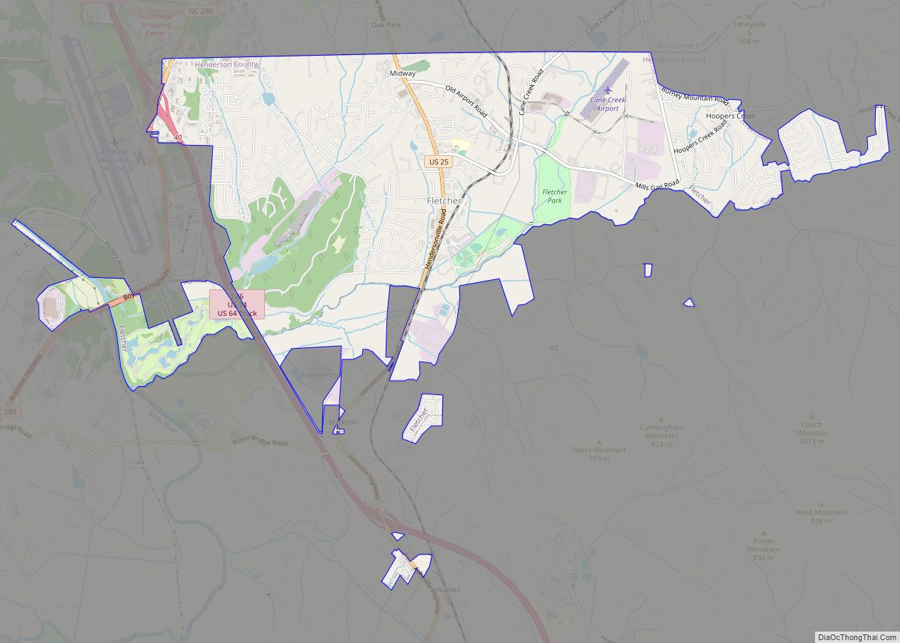
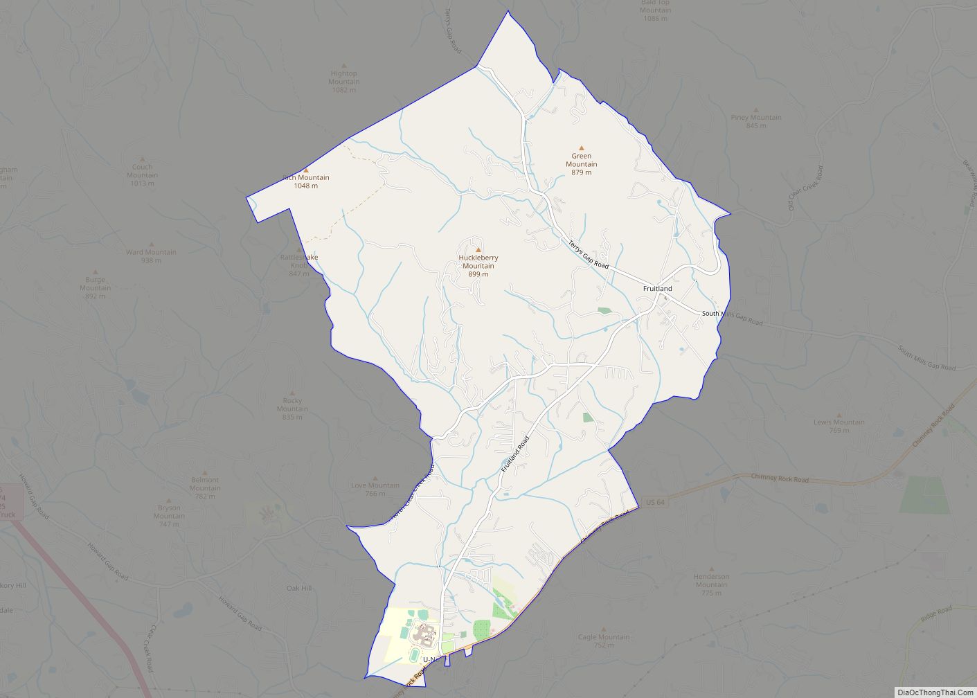
Online Interactive Map
Click on ![]() to view map in "full screen" mode.
to view map in "full screen" mode.
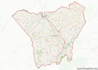
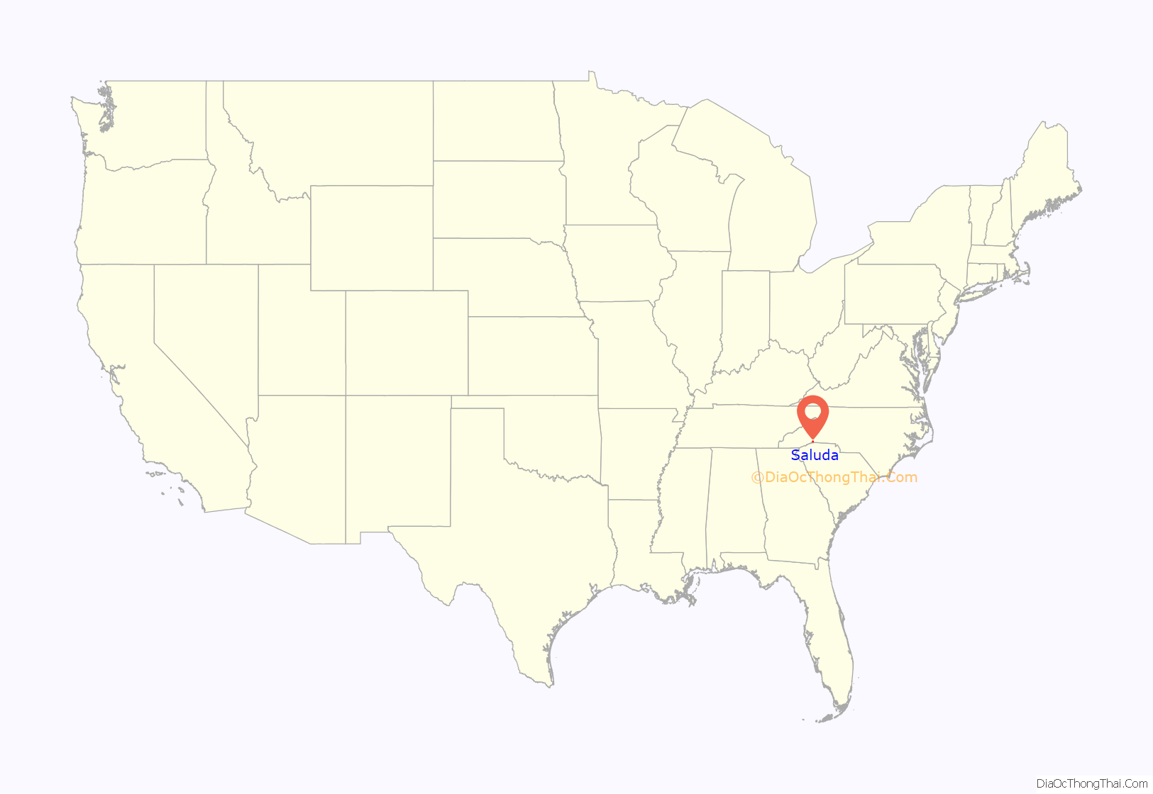
Saluda location map. Where is Saluda city?

History
Saluda’s name came from the Cherokee word Tsaludiyi, meaning “green corn place”. The first name of the area by European settlers was “Pace’s Ridge”, from the Pace family who inhabited the area. Many of the original families were Scots-Irish who left Pennsylvania around the time of the Whiskey Rebellion in the early 1790s.
Count Joseph Marie Gabriel St. Xavier de Choiseul, French consul to Charleston, South Carolina, and cousin to Louis Philippe I of France, bought land in 1831 from the Barings of nearby Flat Rock and built his home, Saluda Cottages.
In 1878, there were only two houses in the limits of present-day Saluda. The completion of the Southern Railroad that same year brought about a large change in Saluda. The Saluda railroad grade is unmatched by any main line east of the Rocky Mountains with a grade that drops 600 feet (180 m) to the mile. This included 50 curves, some horseshoe, and saved money by going over rather than through the mountains. This section of railroad was originally built as the Asheville and Spartanburg Railroad. The railroad was built with convict labor, which marked the first such use on a large scale, and was supervised by Colonel Andrew Tanner, who operated the first hotel in Saluda and was elected the first mayor of Saluda in 1881. In 1887, eight passenger trains passed through Saluda daily, with about 3,000 visitors a year. The Saluda Grade was infamous for runaway train accidents. In 1880 alone, fourteen men were killed on the 3-mile (5 km) stretch of track. The train no longer runs through Saluda, although there is talk of future passenger train plans.
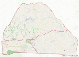
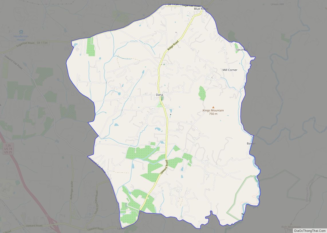
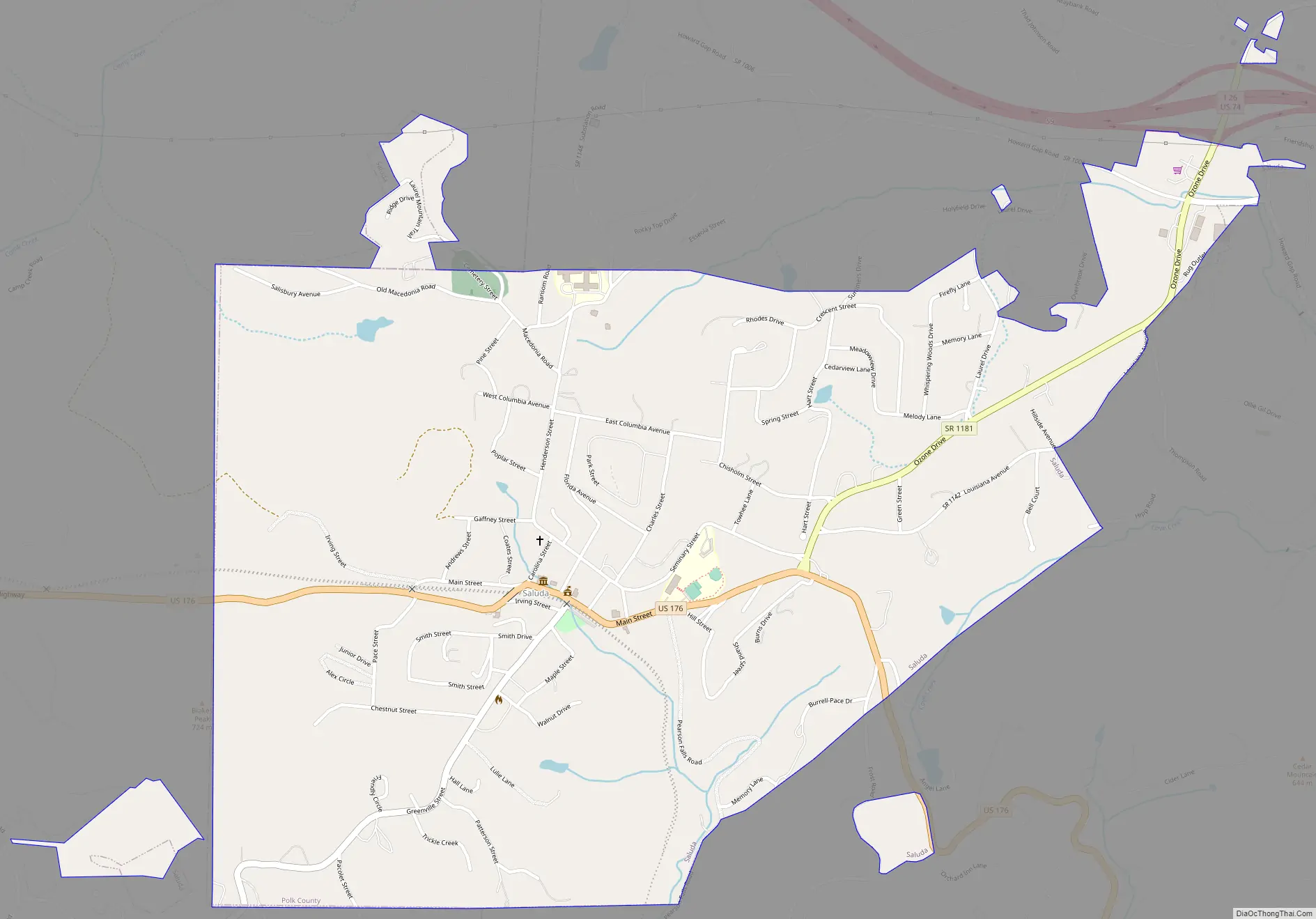
Saluda Road Map
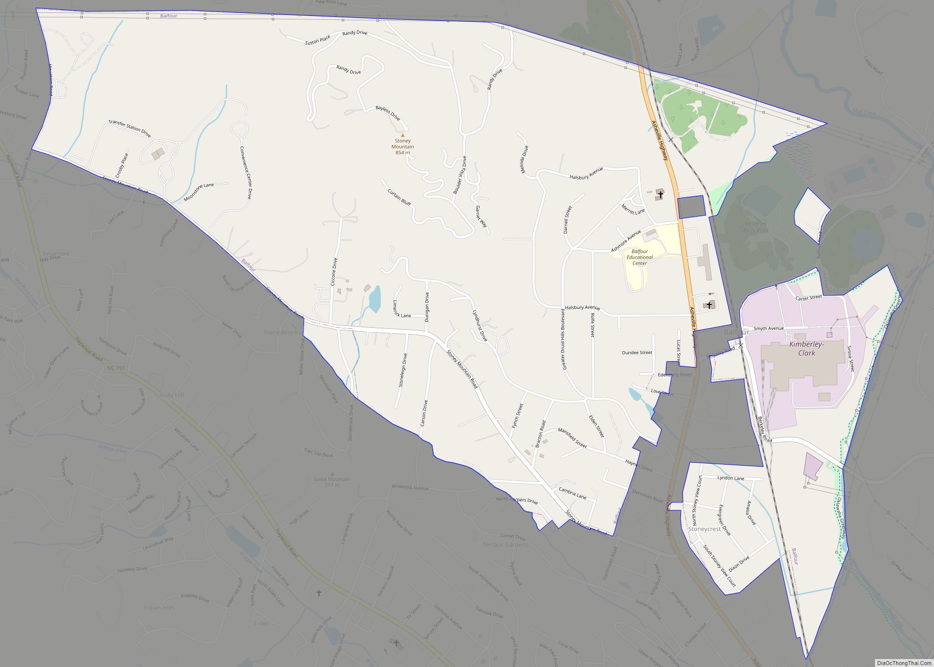
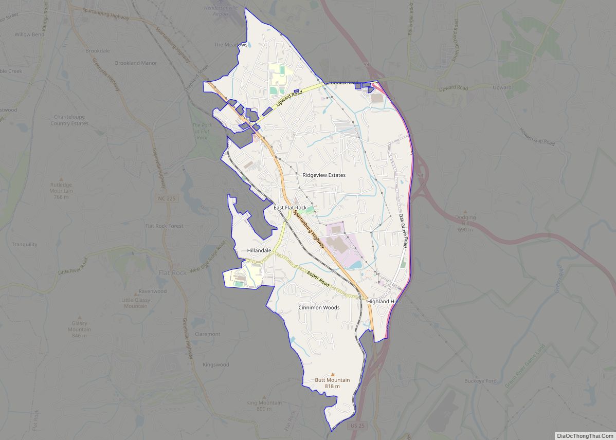
Saluda city Satellite Map

Geography
Saluda is located in southwestern Polk County at 35°14′16″N 82°20′49″W / 35.237856°N 82.346870°W / 35.237856; -82.346870 (35.237856, -82.346870). Two small parts of the city extend west and north into Henderson County. The elevation on Main Street is 2,097 feet (639 m) above sea level, while the elevation at the bottom end of the Saluda Grade, in Tryon, is 1,080 feet (329.1 m).
U.S. Route 176 is Saluda’s Main Street; the highway leads east down the mountain 8 miles (13 km) to Tryon and northwest 10 miles (16 km) to Hendersonville. Interstate 26 passes just north of Saluda, with access from Exit 59. I-26 leads north 34 miles (55 km) to Asheville and southeast 37 miles (60 km) to Spartanburg, South Carolina.
According to the United States Census Bureau, Saluda has a total area of 1.5 square miles (4.0 km), all land.
Geology and seismology
Saluda-area historical earthquake activity is significantly above the North Carolina state average but is 85% smaller than the overall U.S. average.
- On November 30, 1973, at 07:48:41, a magnitude 4.7 (4.7 MB, 4.6 ML) earthquake occurred 98.9 miles away from the city center.
- On August 2, 1974, at 08:52:09, a magnitude 4.9 (4.3 MB, 4.9 LG, Class: Light, Intensity: IV – V) earthquake occurred 94.8 miles away from the city center.
- On August 25, 2005, at 03:09:42, a magnitude 3.6 (3.6 MW, Depth: 5.0 mi, Class: Light, Intensity: II – III) earthquake occurred 51.2 miles away from the city center.
- On June 16, 2006, at 00:57:27, a magnitude 3.1 (3.1 LG, Depth: 2.9 mi) earthquake occurred 53.3 miles away from the city center.
- On August 4, 2007, at 10:04:46, a magnitude 3.0 (3.0 LG, Depth: 5.8 mi) earthquake occurred 22.7 miles away from the city center.
- On December 7, 2007, at 11:07:03, a magnitude 3.1 (3.1 LG, Depth: 3.1 mi) earthquake occurred 10.5 miles away from the city center.
See also
Map of North Carolina State and its subdivision:- Alamance
- Alexander
- Alleghany
- Anson
- Ashe
- Avery
- Beaufort
- Bertie
- Bladen
- Brunswick
- Buncombe
- Burke
- Cabarrus
- Caldwell
- Camden
- Carteret
- Caswell
- Catawba
- Chatham
- Cherokee
- Chowan
- Clay
- Cleveland
- Columbus
- Craven
- Cumberland
- Currituck
- Dare
- Davidson
- Davie
- Duplin
- Durham
- Edgecombe
- Forsyth
- Franklin
- Gaston
- Gates
- Graham
- Granville
- Greene
- Guilford
- Halifax
- Harnett
- Haywood
- Henderson
- Hertford
- Hoke
- Hyde
- Iredell
- Jackson
- Johnston
- Jones
- Lee
- Lenoir
- Lincoln
- Macon
- Madison
- Martin
- McDowell
- Mecklenburg
- Mitchell
- Montgomery
- Moore
- Nash
- New Hanover
- Northampton
- Onslow
- Orange
- Pamlico
- Pasquotank
- Pender
- Perquimans
- Person
- Pitt
- Polk
- Randolph
- Richmond
- Robeson
- Rockingham
- Rowan
- Rutherford
- Sampson
- Scotland
- Stanly
- Stokes
- Surry
- Swain
- Transylvania
- Tyrrell
- Union
- Vance
- Wake
- Warren
- Washington
- Watauga
- Wayne
- Wilkes
- Wilson
- Yadkin
- Yancey
- Alabama
- Alaska
- Arizona
- Arkansas
- California
- Colorado
- Connecticut
- Delaware
- District of Columbia
- Florida
- Georgia
- Hawaii
- Idaho
- Illinois
- Indiana
- Iowa
- Kansas
- Kentucky
- Louisiana
- Maine
- Maryland
- Massachusetts
- Michigan
- Minnesota
- Mississippi
- Missouri
- Montana
- Nebraska
- Nevada
- New Hampshire
- New Jersey
- New Mexico
- New York
- North Carolina
- North Dakota
- Ohio
- Oklahoma
- Oregon
- Pennsylvania
- Rhode Island
- South Carolina
- South Dakota
- Tennessee
- Texas
- Utah
- Vermont
- Virginia
- Washington
- West Virginia
- Wisconsin
- Wyoming