Griffin is a town in Bethel Township, Posey County, in the U.S. state of Indiana. The population was 172 at the 2010 census.
| Name: | Griffin town |
|---|---|
| LSAD Code: | 43 |
| LSAD Description: | town (suffix) |
| State: | Indiana |
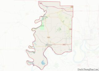
| County: | Posey County |
| Elevation: | 384 ft (117 m) |
| Total Area: | 0.07 sq mi (0.18 km²) |
| Land Area: | 0.07 sq mi (0.18 km²) |
| Water Area: | 0.00 sq mi (0.00 km²) |
| Total Population: | 143 |
| Population Density: | 2,102.94/sq mi (807.58/km²) |
| ZIP code: | 47616 |
| Area code: | 812, 930 |
| FIPS code: | 1830024 |
| GNISfeature ID: | 2396978 |
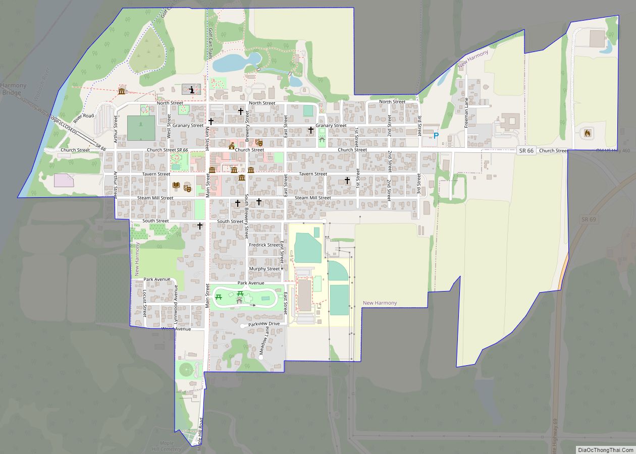
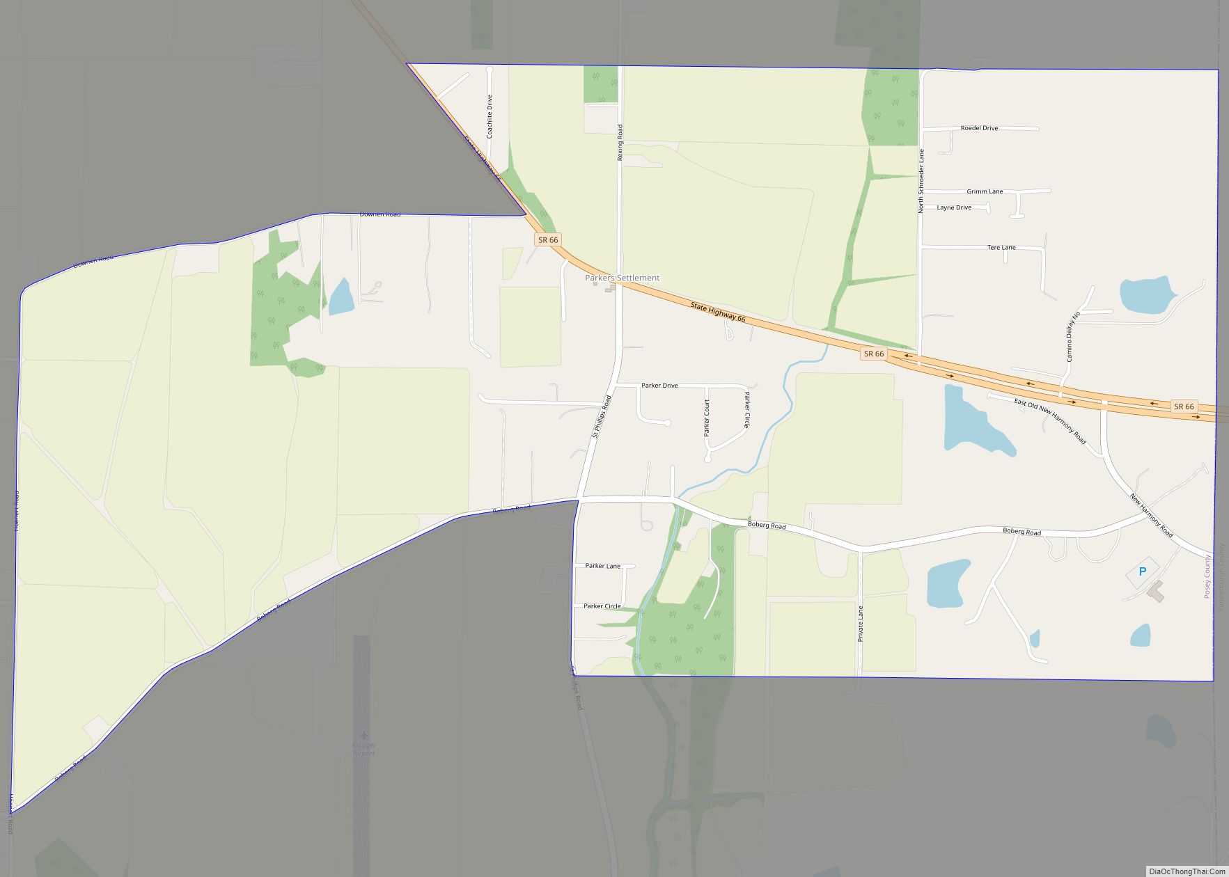
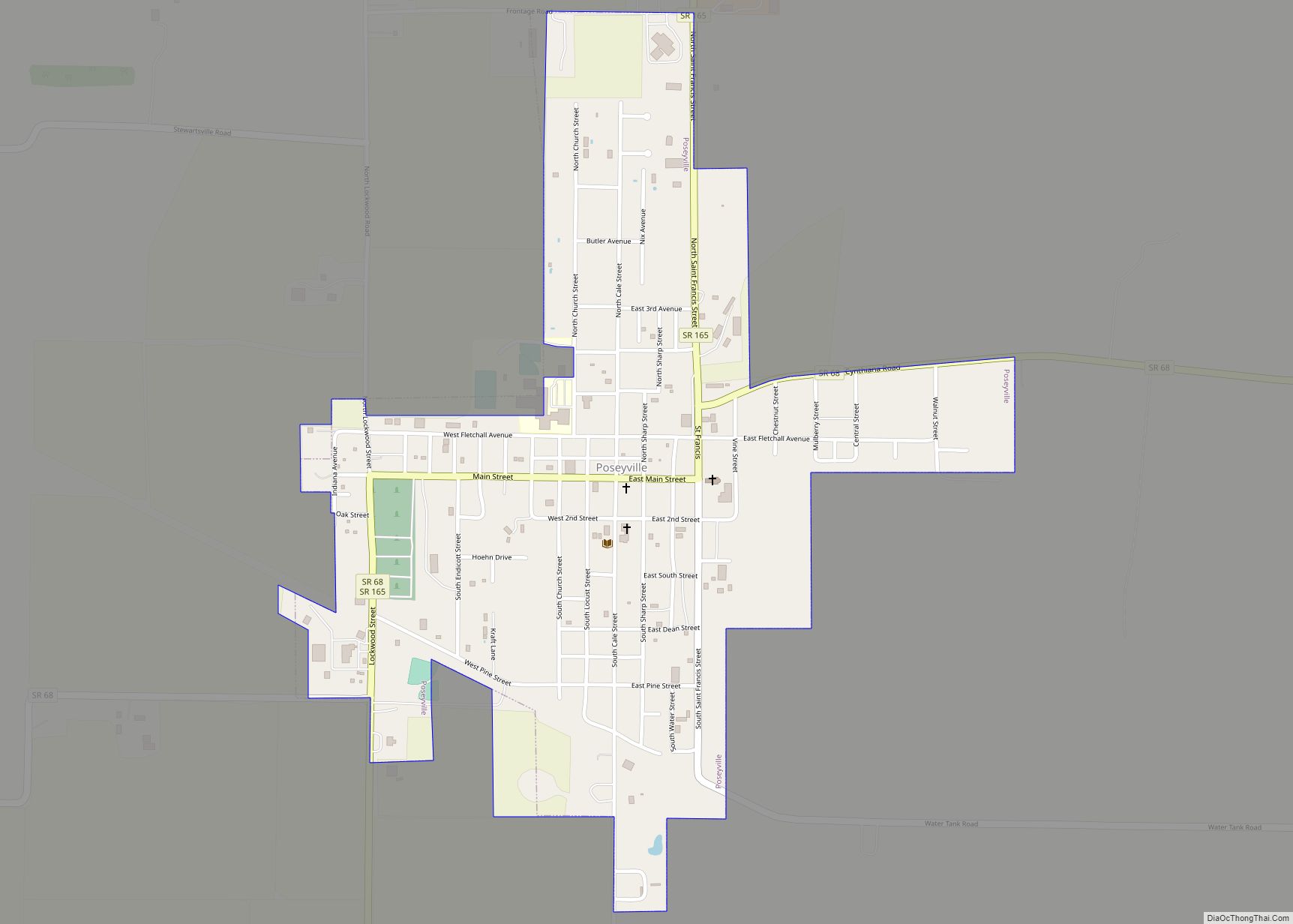
Online Interactive Map
Click on ![]() to view map in "full screen" mode.
to view map in "full screen" mode.
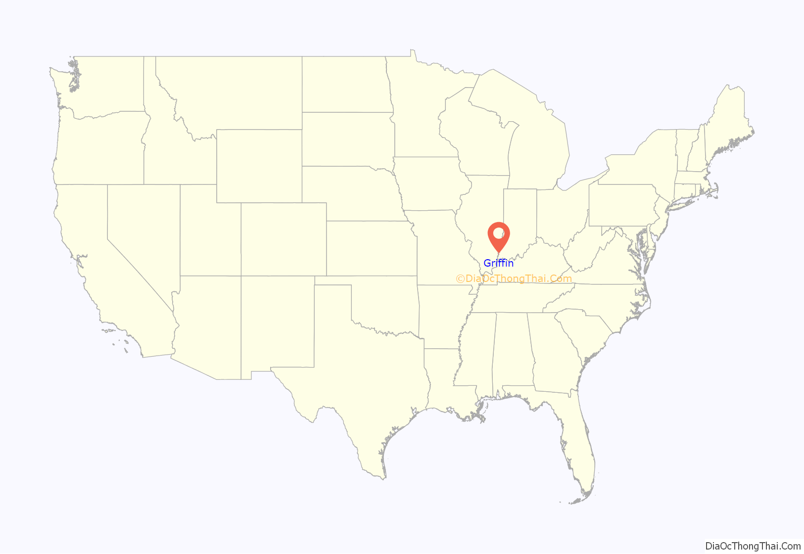
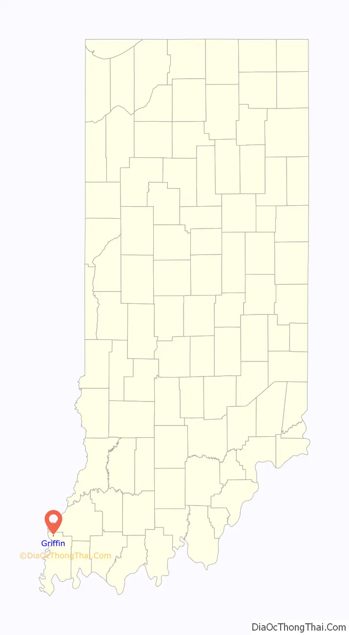
Griffin location map. Where is Griffin town?
History
Griffin was originally called Price’s Station, and under the latter name was laid out in 1881 by William Price, and named for him. The present name honors Samuel Griffin, an early postmaster. A post office called Griffin has been in operation since 1881.
The town was destroyed by the Tri-State Tornado on the afternoon of March 18, 1925, killing 44 people and injuring over 200. In 1972, a nearby outdoor rock concert Erie Canal Soda Pop Festival caused quite a stir in the town over the course of three days. Locally, the fest was called the Bull Island rock fest, based on the location of the festival.
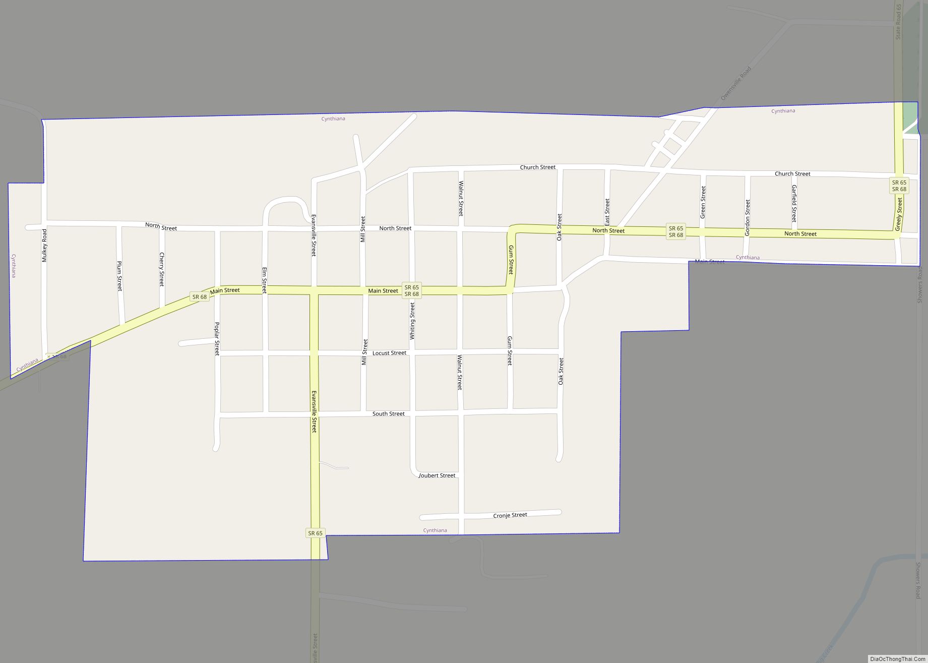
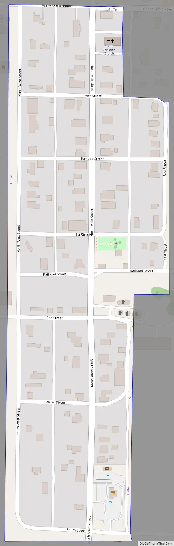
Griffin Road Map
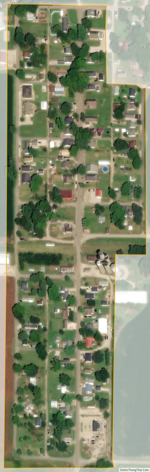
Griffin city Satellite Map
Geography
Griffin is located at 38°12′16″N 87°54′54″W / 38.20444°N 87.91500°W / 38.20444; -87.91500 (38.204406, -87.915033).
According to the 2010 census, Griffin has a total area of 0.07 square miles (0.18 km), all land.
See also
Map of Indiana State and its subdivision:- Adams
- Allen
- Bartholomew
- Benton
- Blackford
- Boone
- Brown
- Carroll
- Cass
- Clark
- Clay
- Clinton
- Crawford
- Daviess
- De Kalb
- Dearborn
- Decatur
- Delaware
- Dubois
- Elkhart
- Fayette
- Floyd
- Fountain
- Franklin
- Fulton
- Gibson
- Grant
- Greene
- Hamilton
- Hancock
- Harrison
- Hendricks
- Henry
- Howard
- Huntington
- Jackson
- Jasper
- Jay
- Jefferson
- Jennings
- Johnson
- Knox
- Kosciusko
- LaGrange
- Lake
- Lake Michigan
- LaPorte
- Lawrence
- Madison
- Marion
- Marshall
- Martin
- Miami
- Monroe
- Montgomery
- Morgan
- Newton
- Noble
- Ohio
- Orange
- Owen
- Parke
- Perry
- Pike
- Porter
- Posey
- Pulaski
- Putnam
- Randolph
- Ripley
- Rush
- Saint Joseph
- Scott
- Shelby
- Spencer
- Starke
- Steuben
- Sullivan
- Switzerland
- Tippecanoe
- Tipton
- Union
- Vanderburgh
- Vermillion
- Vigo
- Wabash
- Warren
- Warrick
- Washington
- Wayne
- Wells
- White
- Whitley
- Alabama
- Alaska
- Arizona
- Arkansas
- California
- Colorado
- Connecticut
- Delaware
- District of Columbia
- Florida
- Georgia
- Hawaii
- Idaho
- Illinois
- Indiana
- Iowa
- Kansas
- Kentucky
- Louisiana
- Maine
- Maryland
- Massachusetts
- Michigan
- Minnesota
- Mississippi
- Missouri
- Montana
- Nebraska
- Nevada
- New Hampshire
- New Jersey
- New Mexico
- New York
- North Carolina
- North Dakota
- Ohio
- Oklahoma
- Oregon
- Pennsylvania
- Rhode Island
- South Carolina
- South Dakota
- Tennessee
- Texas
- Utah
- Vermont
- Virginia
- Washington
- West Virginia
- Wisconsin
- Wyoming