Cynthiana is a town in Smith Township, Posey County, in the U.S. state of Indiana. The population was 545 at the 2010 census. Cynthiana is also home to internationally known companies, including Gore Galore, leading creator of haunted house props, and Band Shoppe, one of the world’s largest manufacturers of marching band uniforms.
| Name: | Cynthiana town |
|---|---|
| LSAD Code: | 43 |
| LSAD Description: | town (suffix) |
| State: | Indiana |
| County: | Posey County |
| Elevation: | 469 ft (143 m) |
| Total Area: | 0.40 sq mi (1.03 km²) |
| Land Area: | 0.40 sq mi (1.03 km²) |
| Water Area: | 0.00 sq mi (0.00 km²) |
| Total Population: | 552 |
| Population Density: | 1,383.46/sq mi (534.42/km²) |
| ZIP code: | 47612 |
| Area code: | 812 |
| FIPS code: | 1816534 |
| GNISfeature ID: | 2396673 |
Online Interactive Map
Click on ![]() to view map in "full screen" mode.
to view map in "full screen" mode.
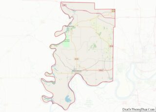
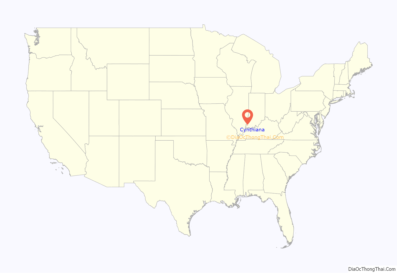
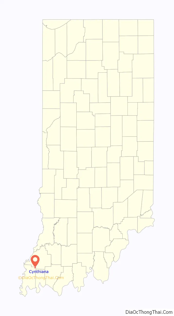
Cynthiana location map. Where is Cynthiana town?
History
Cynthiana was named for Cynthiana, Kentucky, from whence on September 25, 1815, a group of 44 settlers had come. More settlers from the same area continued to migrate to the area over the following several years. On March 6, 1817, the town was laid out by William Davis, with the plat being recorded on March 17, 1817. It was not until April 22, 1896, that the town incorporated.
On September 23, 1815, Thomas Duncan had made a land entry for the SE 1/4 of Section 11, Township 4 South, Range 11 West of the Second Principal Meridian, receiving a patent to the land on December 20, 1817. It was on March 24, 1818, that he sold the 58½ acres for the townsite of Cynthiana to William Davis.
A post office has been in operation at Cynthiana since 1820.
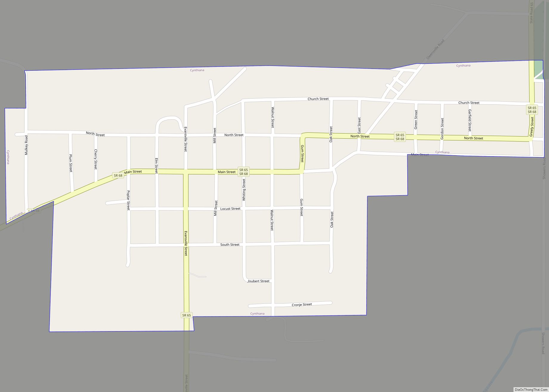
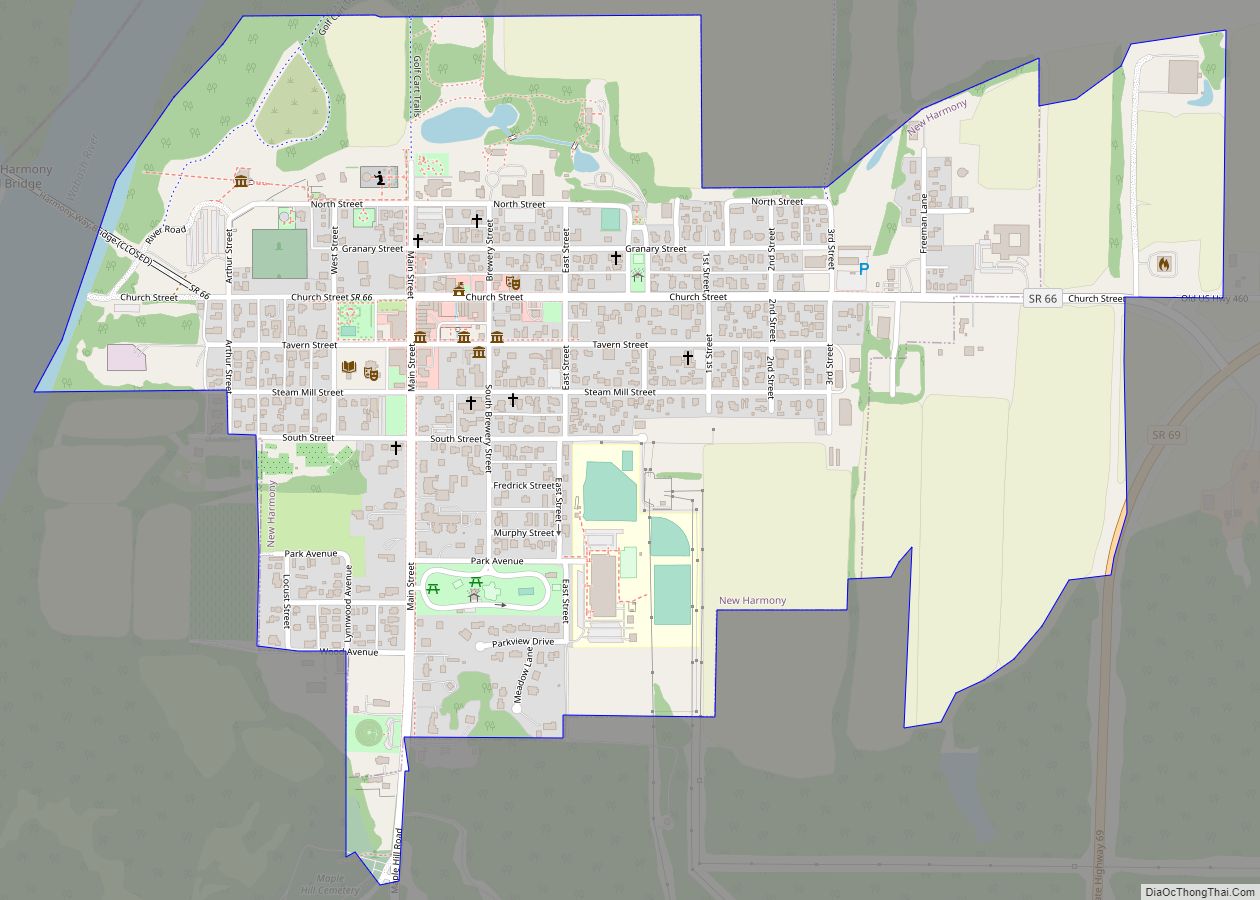
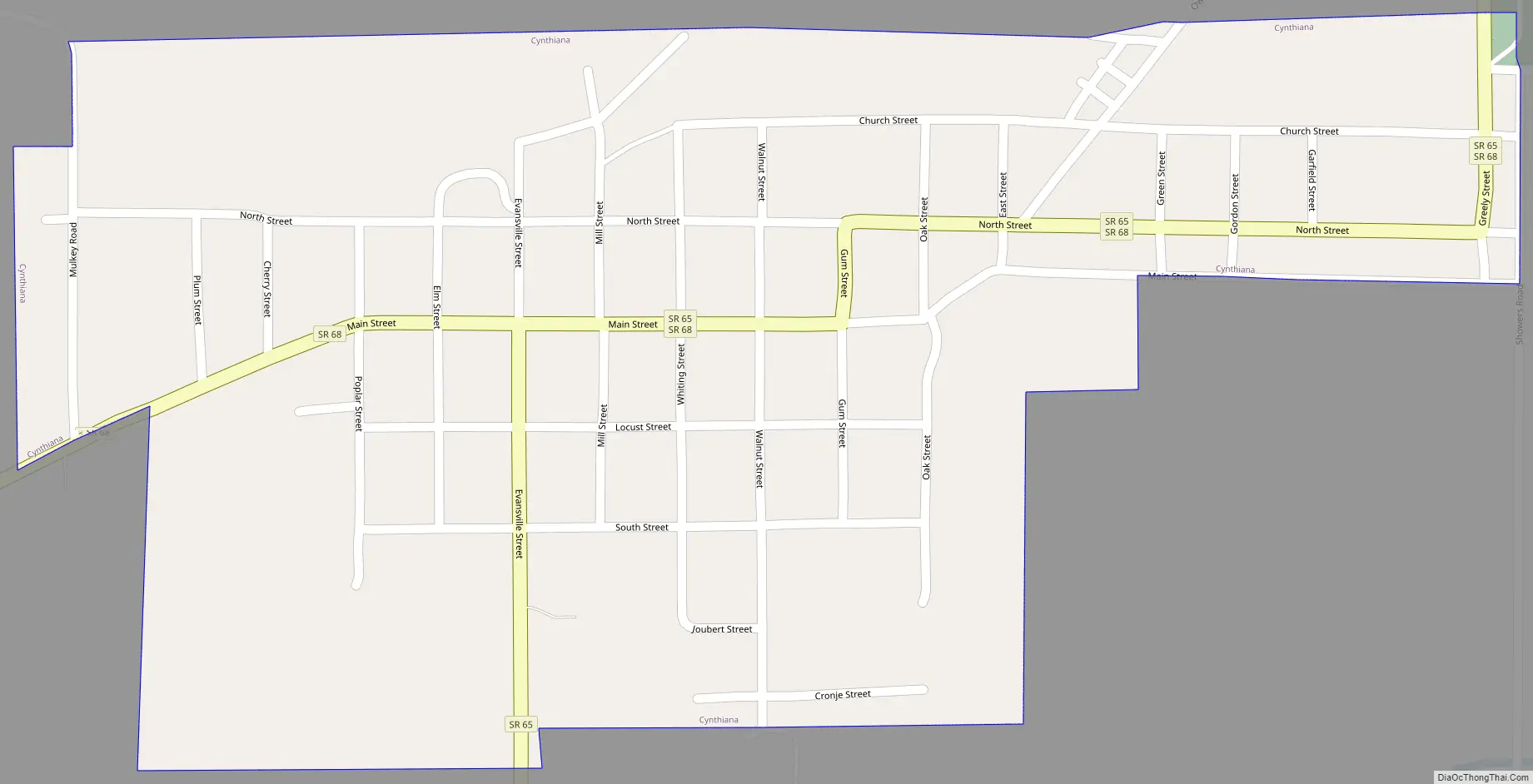
Cynthiana Road Map
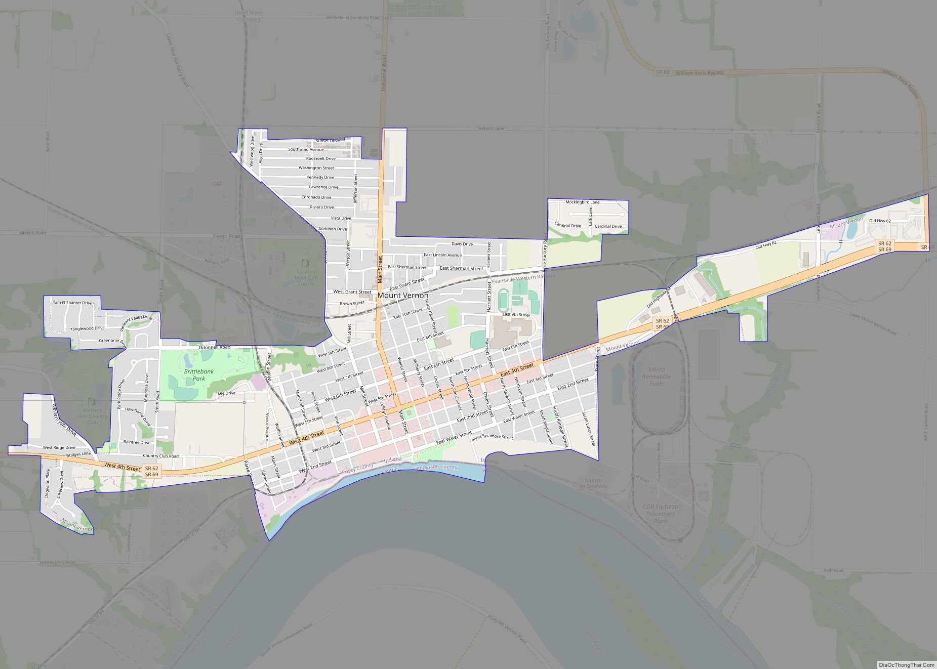
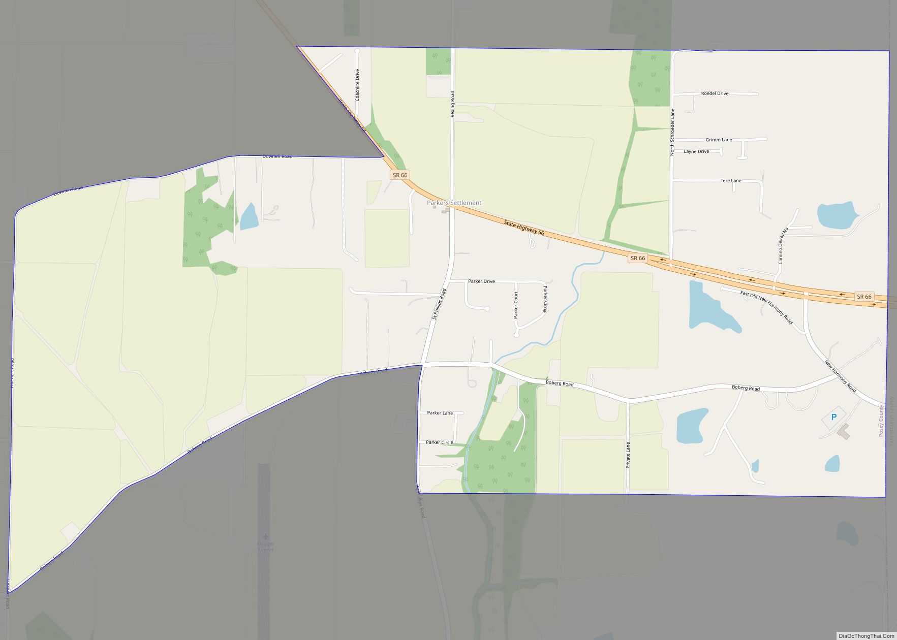
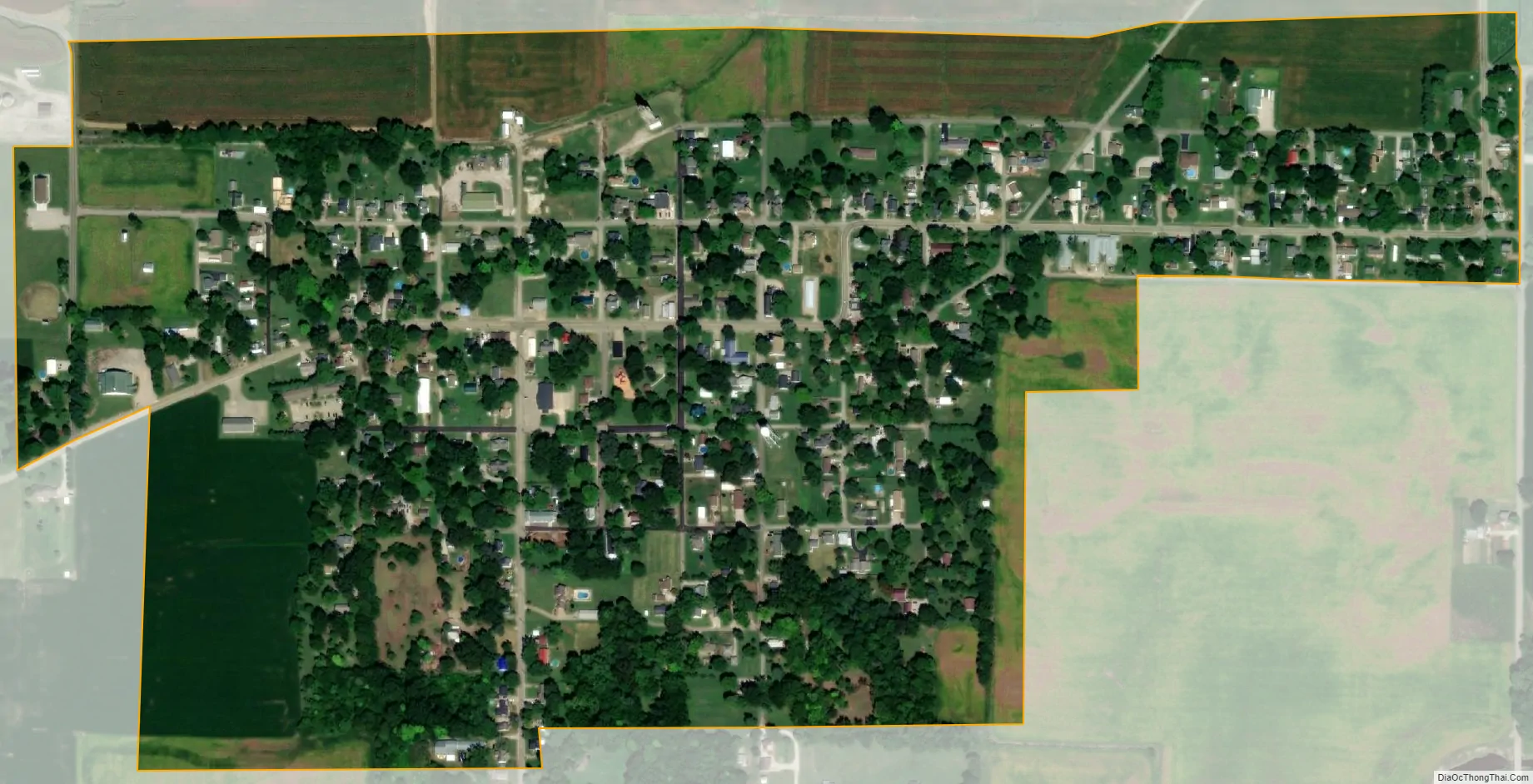
Cynthiana city Satellite Map
Geography
According to the 2010 census, Cynthiana has a total area of 0.4 square miles (1.04 km), all land.
See also
Map of Indiana State and its subdivision:- Adams
- Allen
- Bartholomew
- Benton
- Blackford
- Boone
- Brown
- Carroll
- Cass
- Clark
- Clay
- Clinton
- Crawford
- Daviess
- De Kalb
- Dearborn
- Decatur
- Delaware
- Dubois
- Elkhart
- Fayette
- Floyd
- Fountain
- Franklin
- Fulton
- Gibson
- Grant
- Greene
- Hamilton
- Hancock
- Harrison
- Hendricks
- Henry
- Howard
- Huntington
- Jackson
- Jasper
- Jay
- Jefferson
- Jennings
- Johnson
- Knox
- Kosciusko
- LaGrange
- Lake
- Lake Michigan
- LaPorte
- Lawrence
- Madison
- Marion
- Marshall
- Martin
- Miami
- Monroe
- Montgomery
- Morgan
- Newton
- Noble
- Ohio
- Orange
- Owen
- Parke
- Perry
- Pike
- Porter
- Posey
- Pulaski
- Putnam
- Randolph
- Ripley
- Rush
- Saint Joseph
- Scott
- Shelby
- Spencer
- Starke
- Steuben
- Sullivan
- Switzerland
- Tippecanoe
- Tipton
- Union
- Vanderburgh
- Vermillion
- Vigo
- Wabash
- Warren
- Warrick
- Washington
- Wayne
- Wells
- White
- Whitley
- Alabama
- Alaska
- Arizona
- Arkansas
- California
- Colorado
- Connecticut
- Delaware
- District of Columbia
- Florida
- Georgia
- Hawaii
- Idaho
- Illinois
- Indiana
- Iowa
- Kansas
- Kentucky
- Louisiana
- Maine
- Maryland
- Massachusetts
- Michigan
- Minnesota
- Mississippi
- Missouri
- Montana
- Nebraska
- Nevada
- New Hampshire
- New Jersey
- New Mexico
- New York
- North Carolina
- North Dakota
- Ohio
- Oklahoma
- Oregon
- Pennsylvania
- Rhode Island
- South Carolina
- South Dakota
- Tennessee
- Texas
- Utah
- Vermont
- Virginia
- Washington
- West Virginia
- Wisconsin
- Wyoming