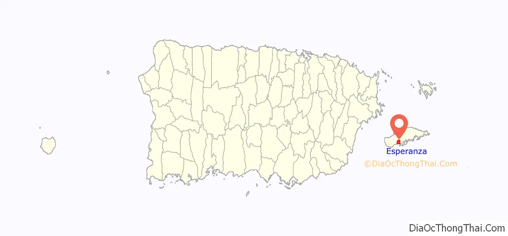
Esperanza is a comunidad in Puerto Real Barrio, on the south side of the island of Vieques, Puerto Rico. It was the location of Hacienda Casa del Frances, a historic site listed on the U.S. National Register of Historic Places.
| Name: | Esperanza comunidad |
|---|---|
| LSAD Code: | 55 |
| LSAD Description: | comunidad (suffix) |
| State: | Puerto Rico |
| County: | Vieques Municipio |
| Elevation: | 695 ft (212 m) |
| Total Area: | 1.27 sq mi (3.3 km²) |
| Land Area: | 1.27 sq mi (3.3 km²) |
| Water Area: | 0.0 sq mi (0 km²) |
| Total Population: | 1,219 |
| Population Density: | 959.8/sq mi (370.6/km²) |
| Area code: | 787 |
| FIPS code: | 7227190 |
| Website: | vieques.com/island-town-esperanza |
Online Interactive Map
Click on ![]() to view map in "full screen" mode.
to view map in "full screen" mode.
Esperanza location map. Where is Esperanza comunidad?
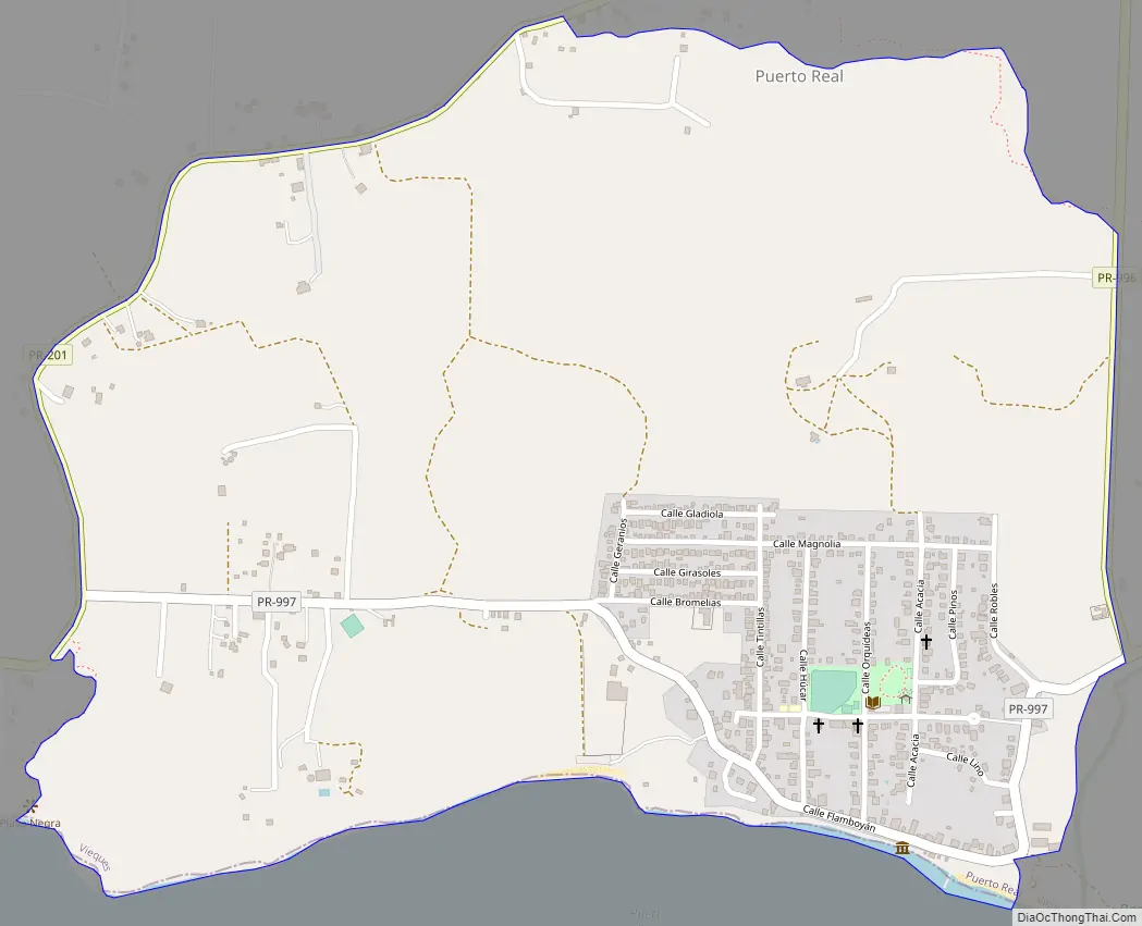
Esperanza Road Map
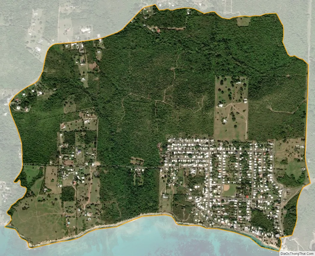
Esperanza city Satellite Map
See also
Map of other states:- Alabama
- Alaska
- Arizona
- Arkansas
- California
- Colorado
- Connecticut
- Delaware
- District of Columbia
- Florida
- Georgia
- Hawaii
- Idaho
- Illinois
- Indiana
- Iowa
- Kansas
- Kentucky
- Louisiana
- Maine
- Maryland
- Massachusetts
- Michigan
- Minnesota
- Mississippi
- Missouri
- Montana
- Nebraska
- Nevada
- New Hampshire
- New Jersey
- New Mexico
- New York
- North Carolina
- North Dakota
- Ohio
- Oklahoma
- Oregon
- Pennsylvania
- Rhode Island
- South Carolina
- South Dakota
- Tennessee
- Texas
- Utah
- Vermont
- Virginia
- Washington
- West Virginia
- Wisconsin
- Wyoming