Jauca is a barrio in the municipality of Jayuya, Puerto Rico. Its population in 2010 was 116. In 1948, Jauca was established from part of what was Jayuya Arriba (Jayuya barrio-pueblo).
| Name: | Jauca comunidad |
|---|---|
| LSAD Code: | 55 |
| LSAD Description: | comunidad (suffix) |
| State: | Puerto Rico |
| County: | Santa Isabel Municipio |
| Elevation: | 2,539 ft (774 m) |
| Total Area: | 3.71 sq mi (9.6 km²) |
| Land Area: | 3.71 sq mi (9.6 km²) |
| Water Area: | 0.00 sq mi (0.0 km²) |
| Total Population: | 116 |
| Population Density: | 31.3/sq mi (12.1/km²) |
| FIPS code: | 7238241 |
Online Interactive Map
Click on ![]() to view map in "full screen" mode.
to view map in "full screen" mode.
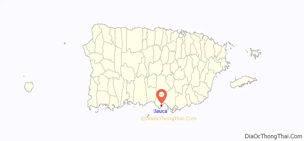
Jauca location map. Where is Jauca comunidad?
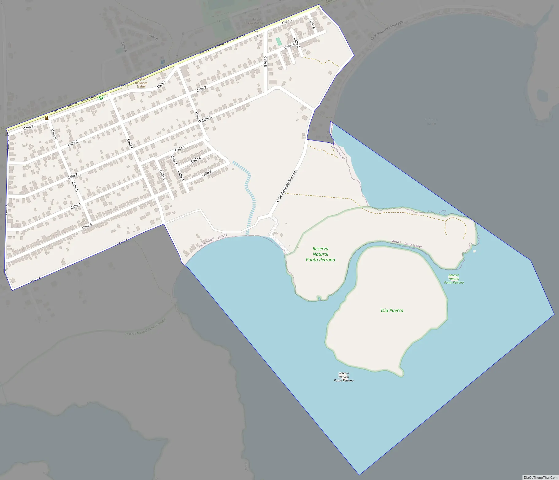
Jauca Road Map
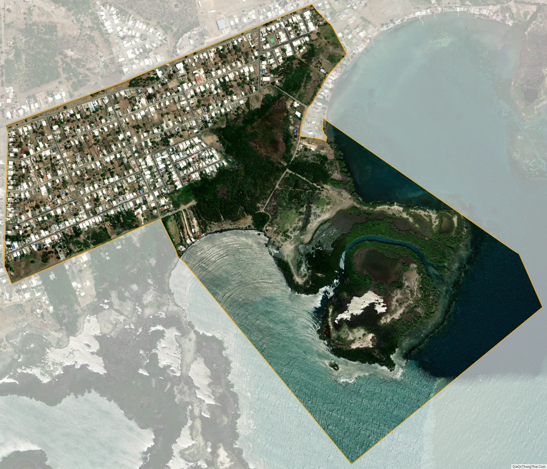
Jauca city Satellite Map
See also
Map of other states:- Alabama
- Alaska
- Arizona
- Arkansas
- California
- Colorado
- Connecticut
- Delaware
- District of Columbia
- Florida
- Georgia
- Hawaii
- Idaho
- Illinois
- Indiana
- Iowa
- Kansas
- Kentucky
- Louisiana
- Maine
- Maryland
- Massachusetts
- Michigan
- Minnesota
- Mississippi
- Missouri
- Montana
- Nebraska
- Nevada
- New Hampshire
- New Jersey
- New Mexico
- New York
- North Carolina
- North Dakota
- Ohio
- Oklahoma
- Oregon
- Pennsylvania
- Rhode Island
- South Carolina
- South Dakota
- Tennessee
- Texas
- Utah
- Vermont
- Virginia
- Washington
- West Virginia
- Wisconsin
- Wyoming