Marueño (Barrio Marueño) is one of the 31 barrios of the municipality of Ponce, Puerto Rico. Along with Anón, Coto Laurel, Guaraguao, Quebrada Limón, Real, and San Patricio, and the coastal barrios of Canas and Capitanejo, Marueño is one of the municipality’s nine bordering barrios. Marueño borders the municipality of Peñuelas. The name of this barrio is of native Indian origin. It was created in 1831.
| Name: | Marueño comunidad |
|---|---|
| LSAD Code: | 55 |
| LSAD Description: | comunidad (suffix) |
| State: | Puerto Rico |
| County: | Ponce Municipio |
| Elevation: | 620 ft (190 m) |
| Total Area: | 4.21 sq mi (10.9 km²) |
| Land Area: | 4.21 sq mi (10.9 km²) |
| Water Area: | 0 sq mi (0 km²) |
| Total Population: | 1,692 |
| Population Density: | 401.9/sq mi (155.2/km²) |
| FIPS code: | 7251700 |
Online Interactive Map
Click on ![]() to view map in "full screen" mode.
to view map in "full screen" mode.
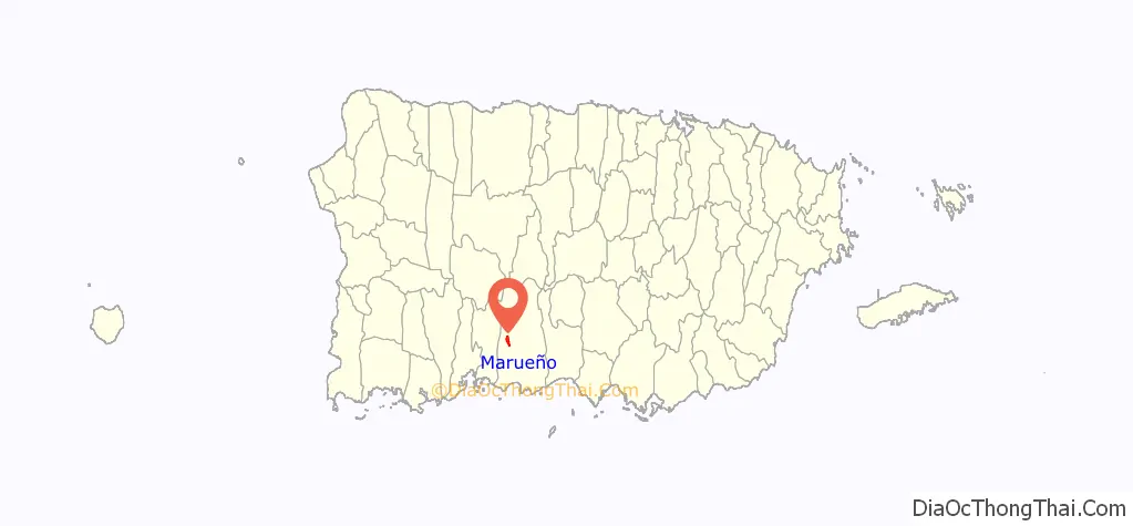
Marueño location map. Where is Marueño comunidad?
History
Origin of the name
The name of the barrio has its origins in Europe. Its name is, however, not found in any other part of Puerto Rico. The barrio, the tallest peak in the barrio, and the river that runs through it are all called Marueño.
In the Aragonese language, the name “Marueño” means “a bunch of rocks”. The name could also be related to another word of Aragonese origin – “murueño” – meaning “the end of a field”, thus it could then refer to some boundary or refer to the low fence walls used to mark the edge of properties.
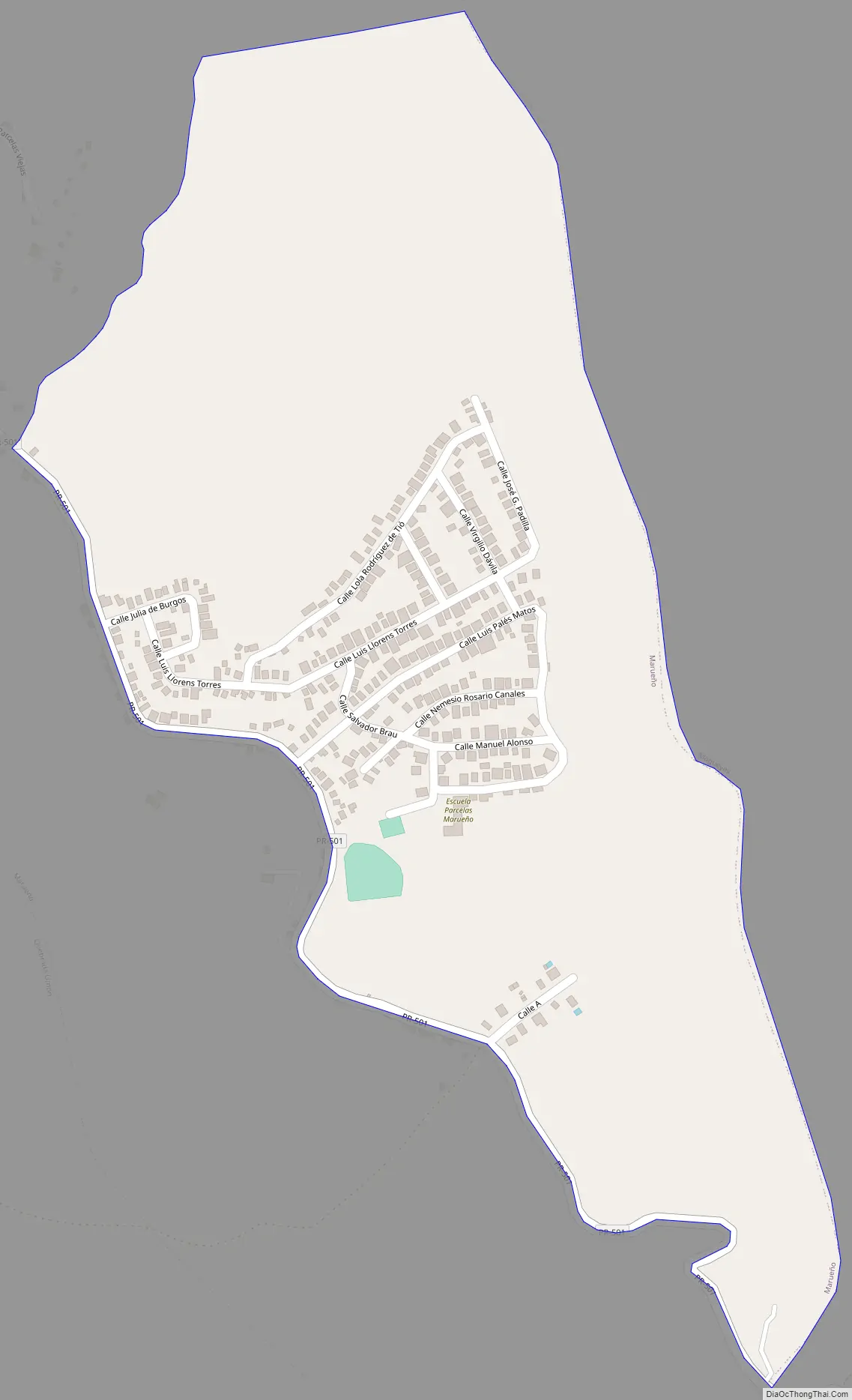
Marueño Road Map
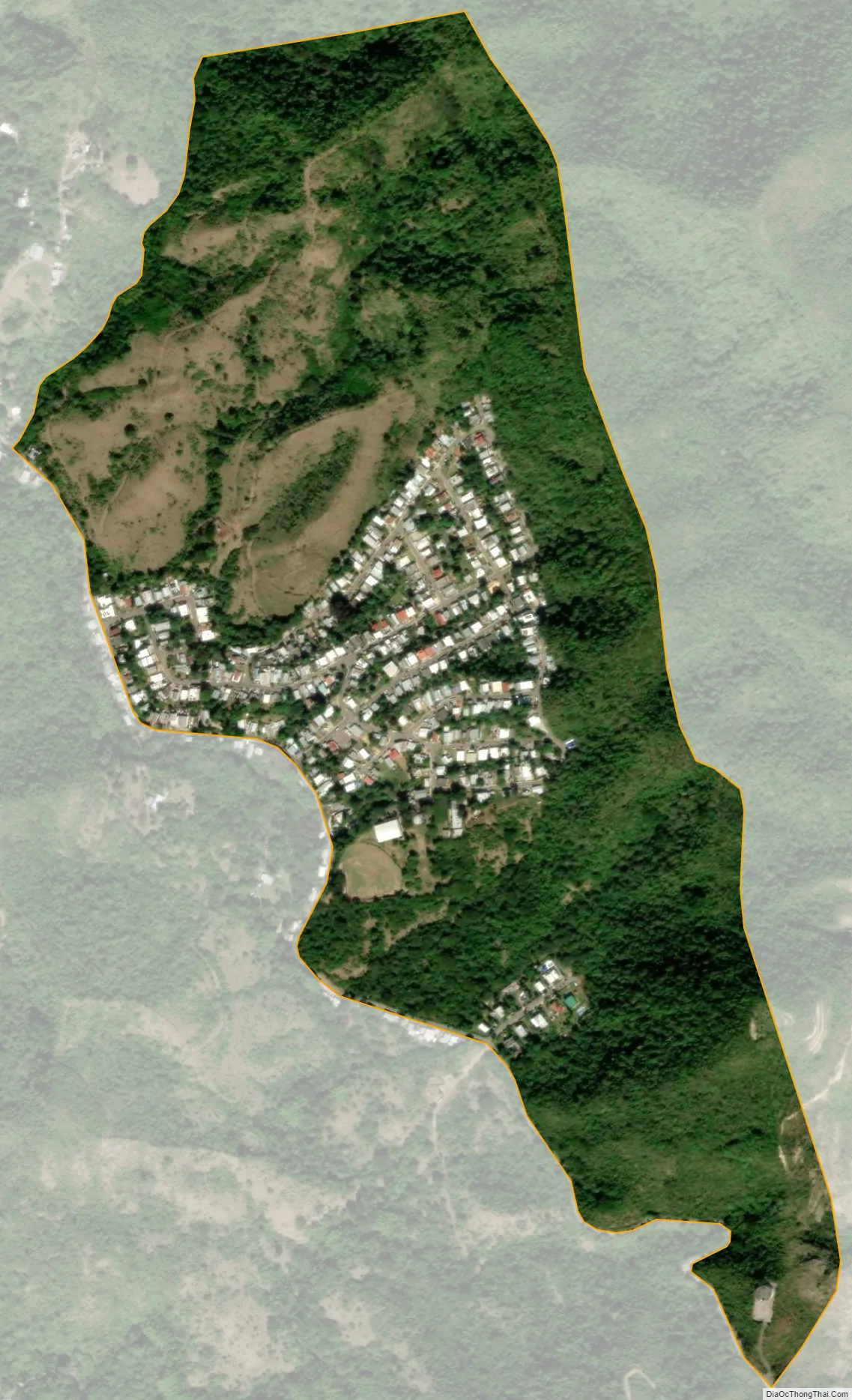
Marueño city Satellite Map
See also
Map of other states:- Alabama
- Alaska
- Arizona
- Arkansas
- California
- Colorado
- Connecticut
- Delaware
- District of Columbia
- Florida
- Georgia
- Hawaii
- Idaho
- Illinois
- Indiana
- Iowa
- Kansas
- Kentucky
- Louisiana
- Maine
- Maryland
- Massachusetts
- Michigan
- Minnesota
- Mississippi
- Missouri
- Montana
- Nebraska
- Nevada
- New Hampshire
- New Jersey
- New Mexico
- New York
- North Carolina
- North Dakota
- Ohio
- Oklahoma
- Oregon
- Pennsylvania
- Rhode Island
- South Carolina
- South Dakota
- Tennessee
- Texas
- Utah
- Vermont
- Virginia
- Washington
- West Virginia
- Wisconsin
- Wyoming