San Isidro is a barrio in the island-municipality of Culebra, Puerto Rico. Its population in 2010 was 16.
It consists of a part of the island of Culebra in the northeast, and of islands and islets such as Roca Speck, Cayo Norte, Cayo Sombrerito, Cayos Geniquí, Cayo Tiburón, and Cayo Ballena.
| Name: | San Isidro comunidad |
|---|---|
| LSAD Code: | 55 |
| LSAD Description: | comunidad (suffix) |
| State: | Puerto Rico |
| County: | Canóvanas Municipio |
| Elevation: | 0 ft (0 m) |
| Total Area: | 25.62 sq mi (66.4 km²) |
| Land Area: | 2.26 sq mi (5.9 km²) |
| Water Area: | 23.36 sq mi (60.5 km²) |
| Total Population: | 16 |
| Population Density: | 7.1/sq mi (2.7/km²) |
| ZIP code: | 00775 |
| FIPS code: | 7276339 |
Online Interactive Map
Click on ![]() to view map in "full screen" mode.
to view map in "full screen" mode.
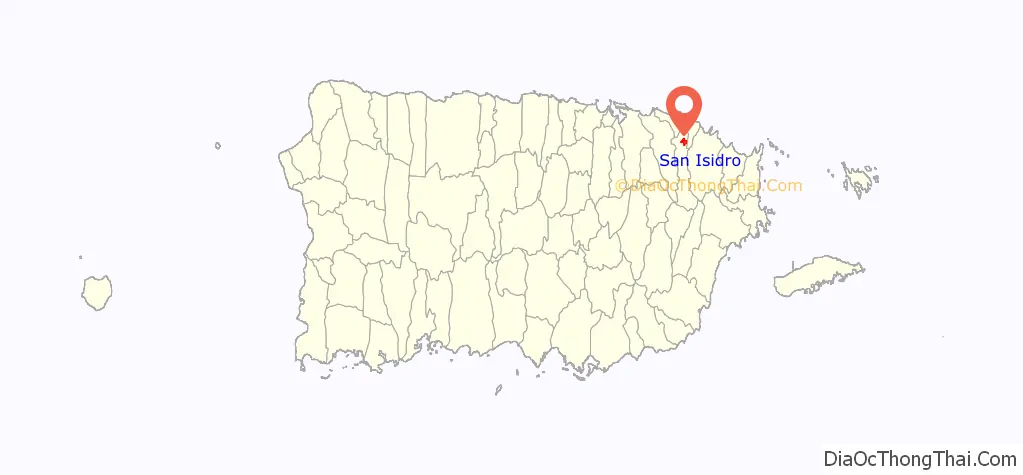
San Isidro location map. Where is San Isidro comunidad?
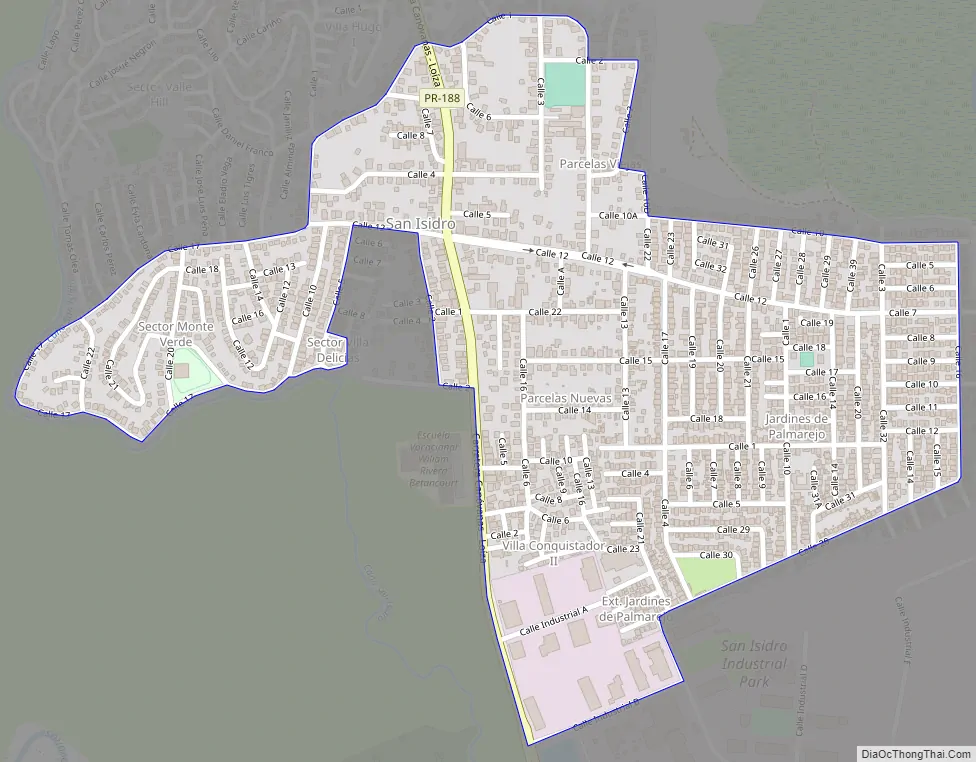
San Isidro Road Map
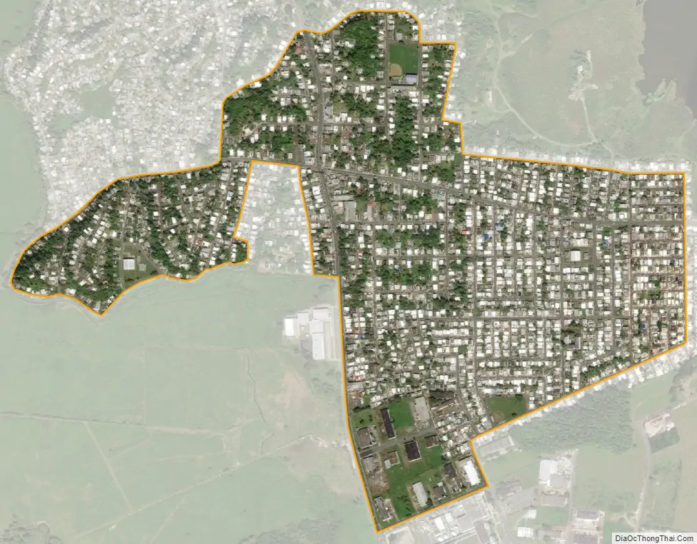
San Isidro city Satellite Map
See also
Map of other states:- Alabama
- Alaska
- Arizona
- Arkansas
- California
- Colorado
- Connecticut
- Delaware
- District of Columbia
- Florida
- Georgia
- Hawaii
- Idaho
- Illinois
- Indiana
- Iowa
- Kansas
- Kentucky
- Louisiana
- Maine
- Maryland
- Massachusetts
- Michigan
- Minnesota
- Mississippi
- Missouri
- Montana
- Nebraska
- Nevada
- New Hampshire
- New Jersey
- New Mexico
- New York
- North Carolina
- North Dakota
- Ohio
- Oklahoma
- Oregon
- Pennsylvania
- Rhode Island
- South Carolina
- South Dakota
- Tennessee
- Texas
- Utah
- Vermont
- Virginia
- Washington
- West Virginia
- Wisconsin
- Wyoming