Augusta is a city in St. Charles County, Missouri, United States. The population was 253 at the 2010 census. The city boasts wineries, antique shops, restaurants, B&B’s, a wood shop, a glass studio, massage therapy, a historic museum and The Augusta Brewery.
Augusta is located in the Missouri Rhineland. As a result, it is home to two wineries, Augusta Winery and Mount Pleasant Winery. The Augusta AVA was recognized by the federal government in 1980 as the first designated American Viticultural Area in the United States, beating out Napa Valley.
Augusta is a popular stop along the Katy Trail, a 225-mile-long bike and walking path built along a former railroad right-of-way.
| Name: | Augusta town |
|---|---|
| LSAD Code: | 43 |
| LSAD Description: | town (suffix) |
| State: | Missouri |
| County: | St. Charles County |
| Elevation: | 561 ft (171 m) |
| Total Area: | 0.88 sq mi (2.28 km²) |
| Land Area: | 0.88 sq mi (2.28 km²) |
| Water Area: | 0.00 sq mi (0.00 km²) |
| Total Population: | 270 |
| Population Density: | 306.82/sq mi (118.45/km²) |
| FIPS code: | 2902512 |
| GNISfeature ID: | 0755706 |
| Website: | augusta-missouri.com |
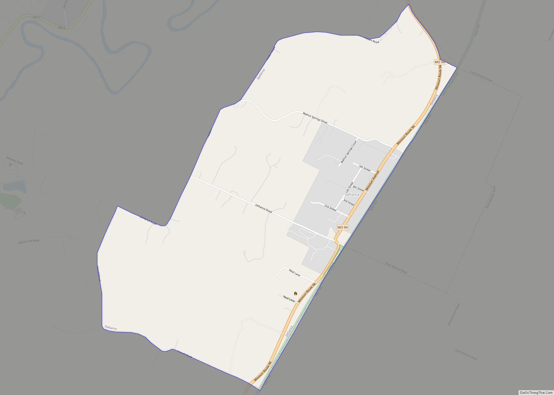
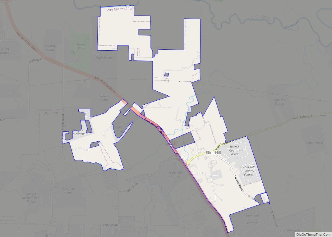
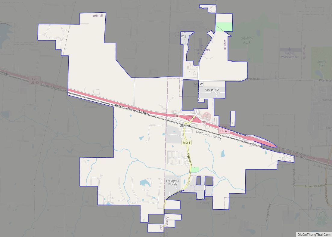
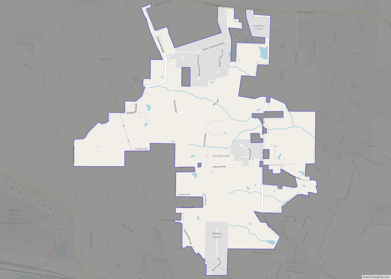
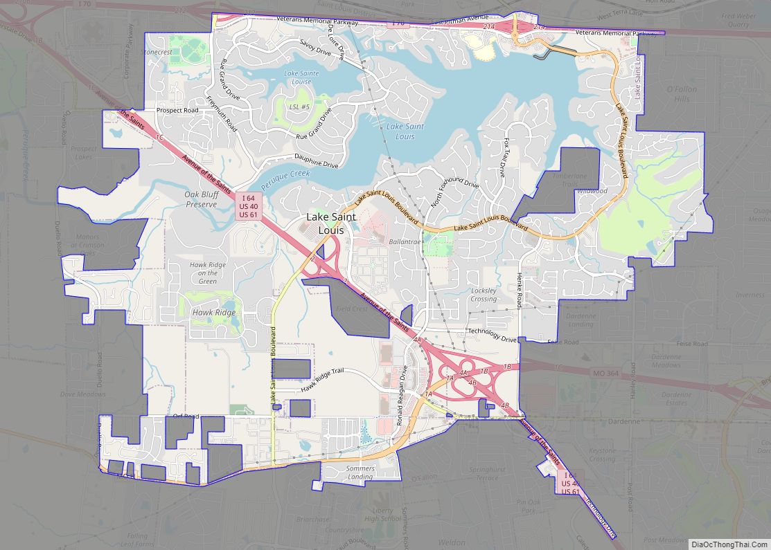
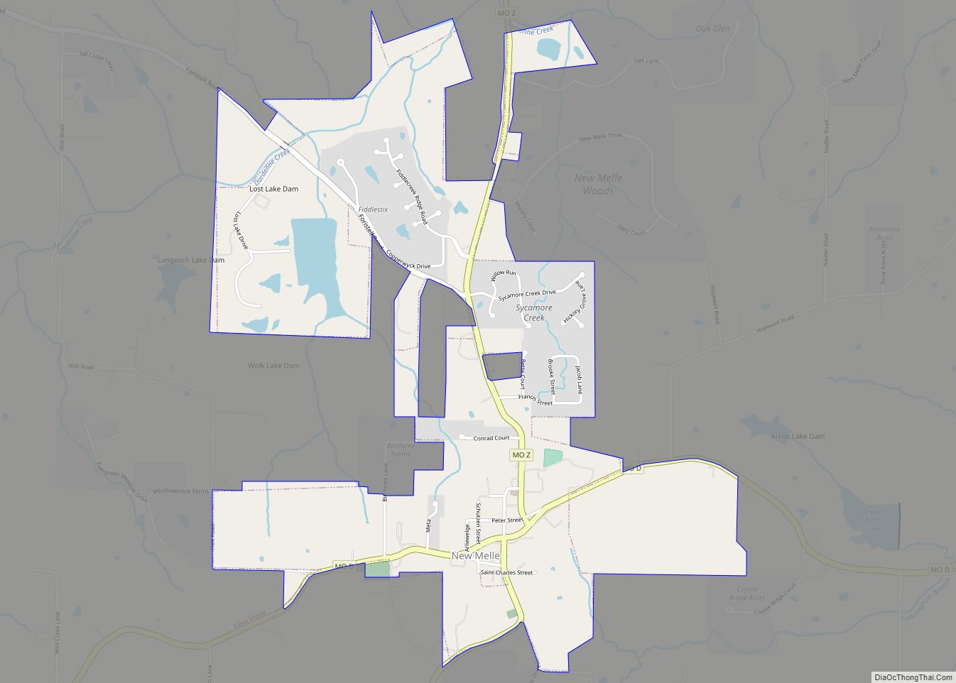
Online Interactive Map
Click on ![]() to view map in "full screen" mode.
to view map in "full screen" mode.
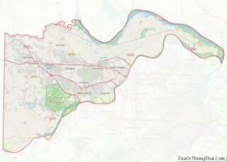
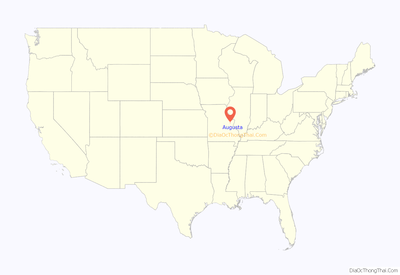
Augusta location map. Where is Augusta town?
History
Augusta was founded in 1836, by Heinrich Knoernschild of Tiefengrun, Germany. There are stories of another man who named the town after his wife, although those theories cannot be proven.
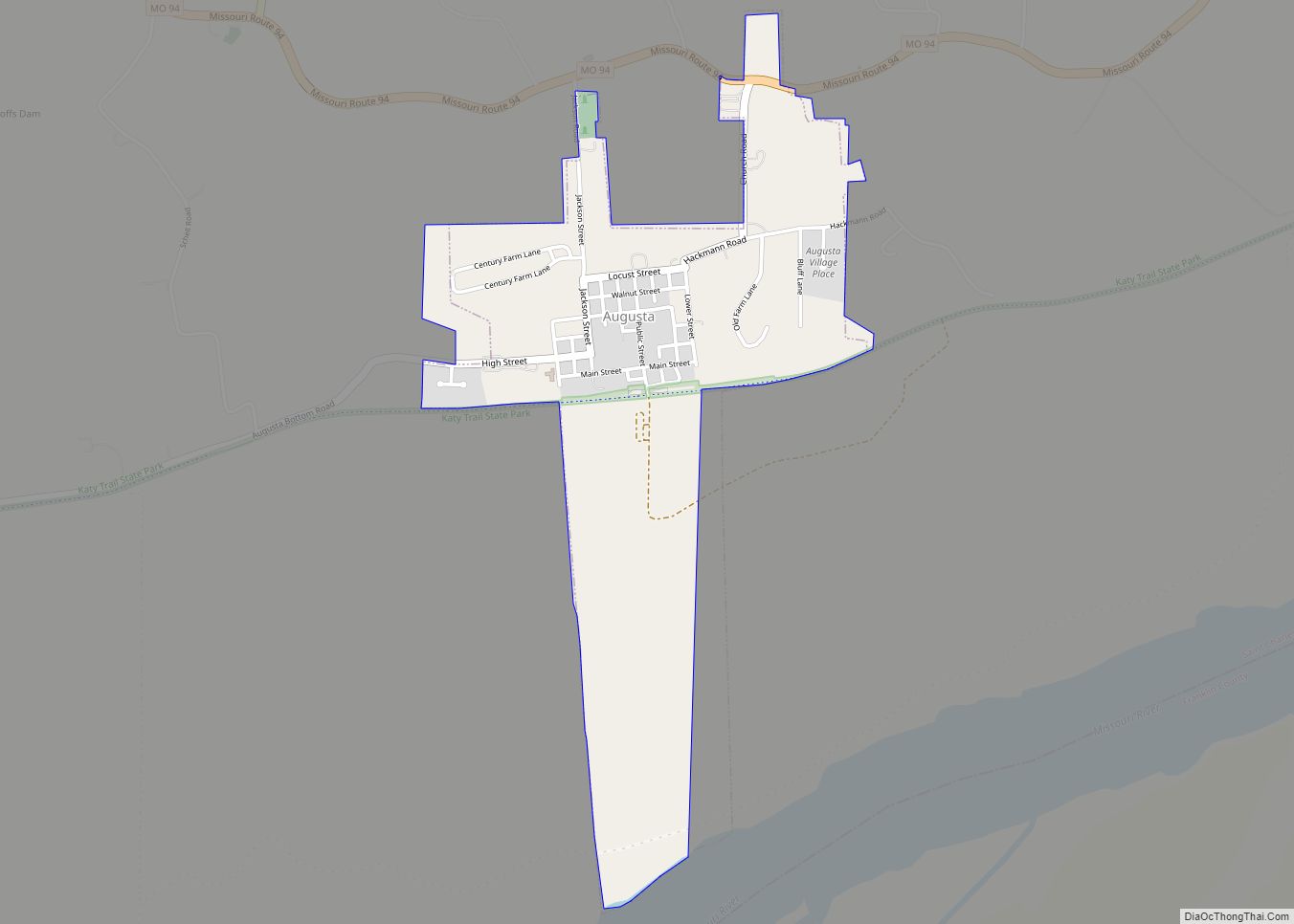
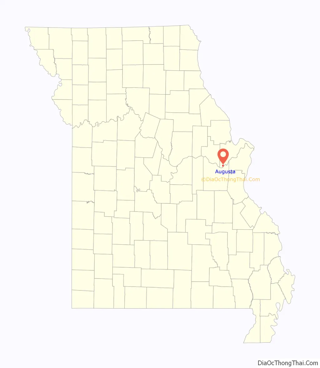
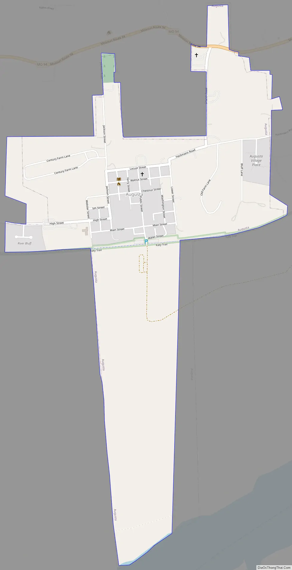
Augusta Road Map
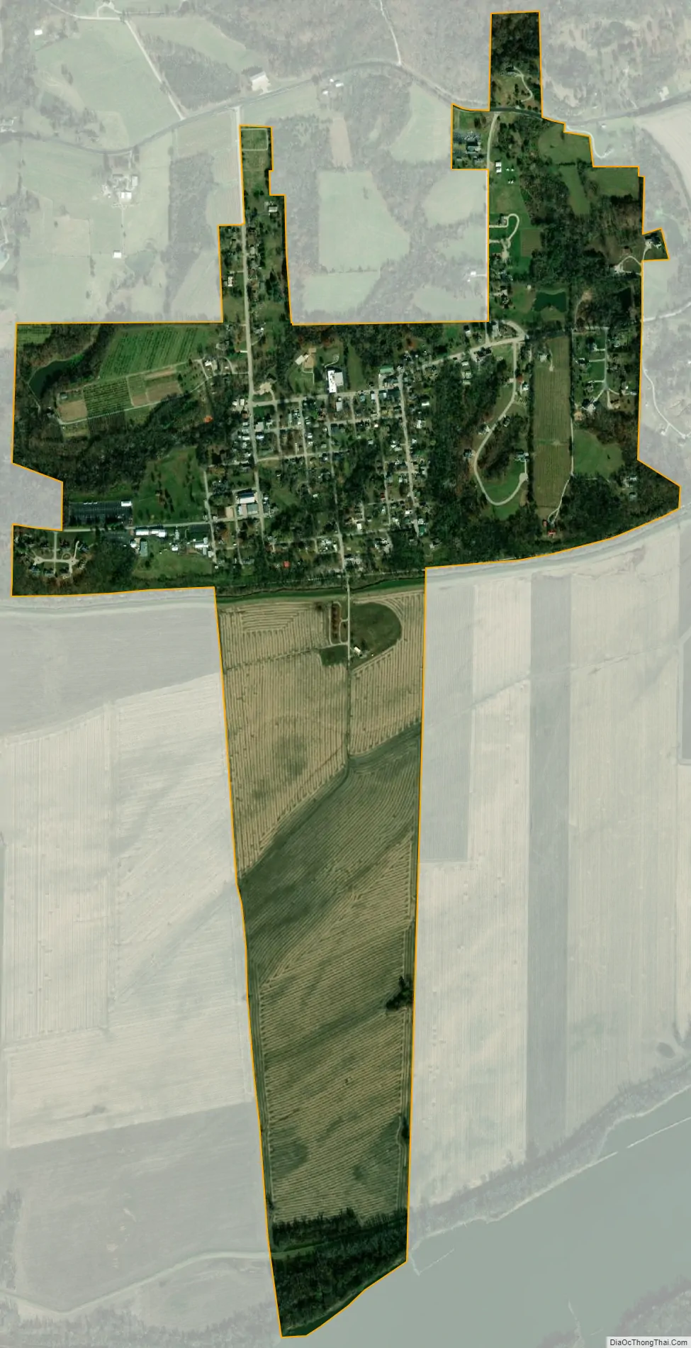
Augusta city Satellite Map
Geography
Augusta is located at 38°34′20″N 90°52′55″W / 38.57222°N 90.88194°W / 38.57222; -90.88194 (38.572336, -90.882079). According to the United States Census Bureau, the city has a total area of 0.92 square miles (2.38 km), all land.
See also
Map of Missouri State and its subdivision:- Adair
- Andrew
- Atchison
- Audrain
- Barry
- Barton
- Bates
- Benton
- Bollinger
- Boone
- Buchanan
- Butler
- Caldwell
- Callaway
- Camden
- Cape Girardeau
- Carroll
- Carter
- Cass
- Cedar
- Chariton
- Christian
- Clark
- Clay
- Clinton
- Cole
- Cooper
- Crawford
- Dade
- Dallas
- Daviess
- De Kalb
- Dent
- Douglas
- Dunklin
- Franklin
- Gasconade
- Gentry
- Greene
- Grundy
- Harrison
- Henry
- Hickory
- Holt
- Howard
- Howell
- Iron
- Jackson
- Jasper
- Jefferson
- Johnson
- Knox
- Laclede
- Lafayette
- Lawrence
- Lewis
- Lincoln
- Linn
- Livingston
- Macon
- Madison
- Maries
- Marion
- McDonald
- Mercer
- Miller
- Mississippi
- Moniteau
- Monroe
- Montgomery
- Morgan
- New Madrid
- Newton
- Nodaway
- Oregon
- Osage
- Ozark
- Pemiscot
- Perry
- Pettis
- Phelps
- Pike
- Platte
- Polk
- Pulaski
- Putnam
- Ralls
- Randolph
- Ray
- Reynolds
- Ripley
- Saint Charles
- Saint Clair
- Saint Francois
- Saint Louis
- Sainte Genevieve
- Saline
- Schuyler
- Scotland
- Scott
- Shannon
- Shelby
- Stoddard
- Stone
- Sullivan
- Taney
- Texas
- Vernon
- Warren
- Washington
- Wayne
- Webster
- Worth
- Wright
- Alabama
- Alaska
- Arizona
- Arkansas
- California
- Colorado
- Connecticut
- Delaware
- District of Columbia
- Florida
- Georgia
- Hawaii
- Idaho
- Illinois
- Indiana
- Iowa
- Kansas
- Kentucky
- Louisiana
- Maine
- Maryland
- Massachusetts
- Michigan
- Minnesota
- Mississippi
- Missouri
- Montana
- Nebraska
- Nevada
- New Hampshire
- New Jersey
- New Mexico
- New York
- North Carolina
- North Dakota
- Ohio
- Oklahoma
- Oregon
- Pennsylvania
- Rhode Island
- South Carolina
- South Dakota
- Tennessee
- Texas
- Utah
- Vermont
- Virginia
- Washington
- West Virginia
- Wisconsin
- Wyoming