Wentzville is an exurb of St. Louis that is located in western St. Charles County, Missouri, United States. As of the 2020 census, the city had a total population of 44,372, making it the 15th largest city in Missouri. Wentzville has been the fastest growing city in Missouri, by percentage population increase, for two consecutive decades from 2000 to 2020. As the site of the Rotary Park, Wentzville is host to the St. Charles County Fair and the St. Louis Renaissance Festival.
| Name: | Wentzville city |
|---|---|
| LSAD Code: | 25 |
| LSAD Description: | city (suffix) |
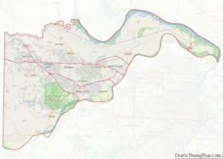
| State: | Missouri |
| County: | St. Charles County |
| Founded: | 1855 |
| Elevation: | 623 ft (190 m) |
| Total Area: | 20.94 sq mi (54.24 km²) |
| Land Area: | 20.93 sq mi (54.20 km²) |
| Water Area: | 0.01 sq mi (0.03 km²) |
| Total Population: | 44,372 |
| Population Density: | 2,120.22/sq mi (818.60/km²) |
| ZIP code: | 63385 |
| Area code: | 636 |
| FIPS code: | 2978442 |
| GNISfeature ID: | 0756888 |
| Website: | wentzvillemo.org |
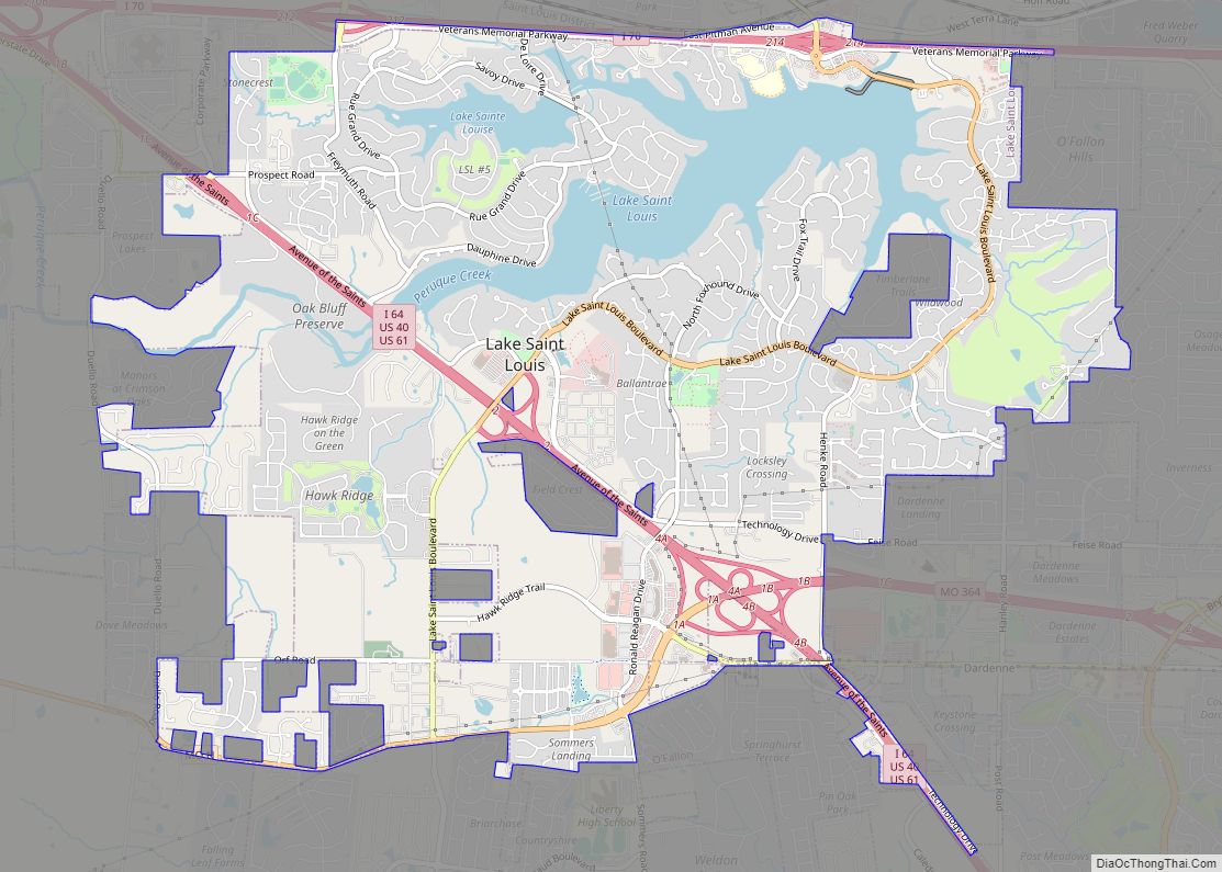
Online Interactive Map
Click on ![]() to view map in "full screen" mode.
to view map in "full screen" mode.
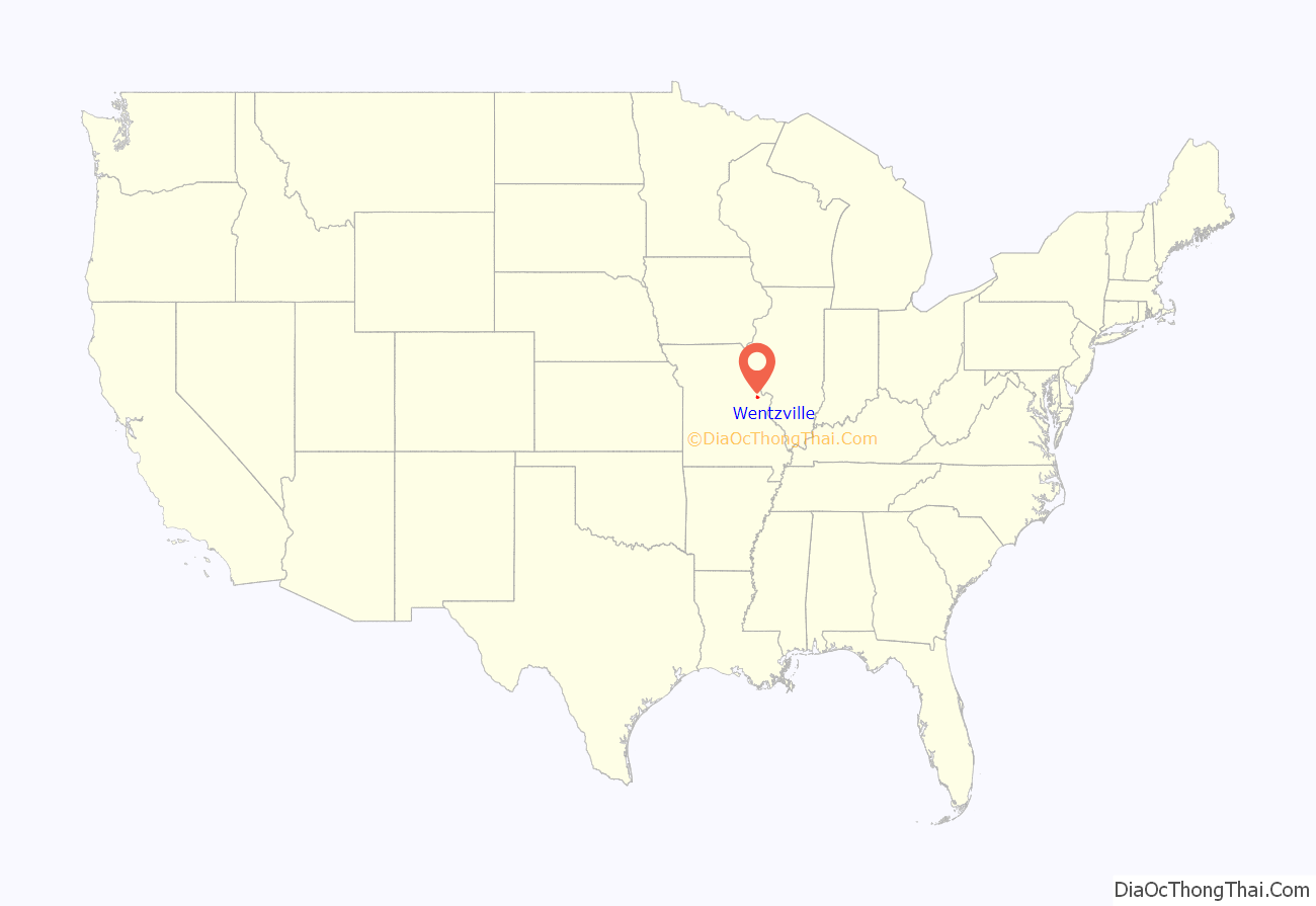
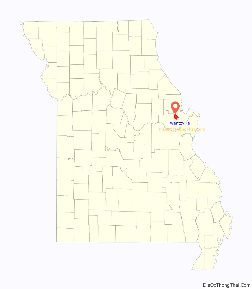
Wentzville location map. Where is Wentzville city?
History
Wentzville was laid out in 1855. The community is named for Erasmus Livingston Wentz, who was the chief engineer of the Northern Missouri Railroad. A post office called Wentzville has been in operation since 1859.
Wentzville is the location of the first Vietnam Veterans Memorial in the United States. It began as a tree of lights to help raise money in 1967 to send gifts to active servicemen, but later evolved by 1984 to a carved eagle atop a pillar of granite. It has become a regular stop in the national “Run for the Wall” trip for veterans.
Musician George Thorogood wrote the song “Back to Wentzville”, the first track of his 1982 album Bad to the Bone, for rock pioneer Chuck Berry who had a home in the area.
The Wentzville Tobacco Company Factory was listed on the National Register of Historic Places in 1990.
One of the 13 U.S. service members killed in the 2021 Kabul airport attack was from Wentzville.
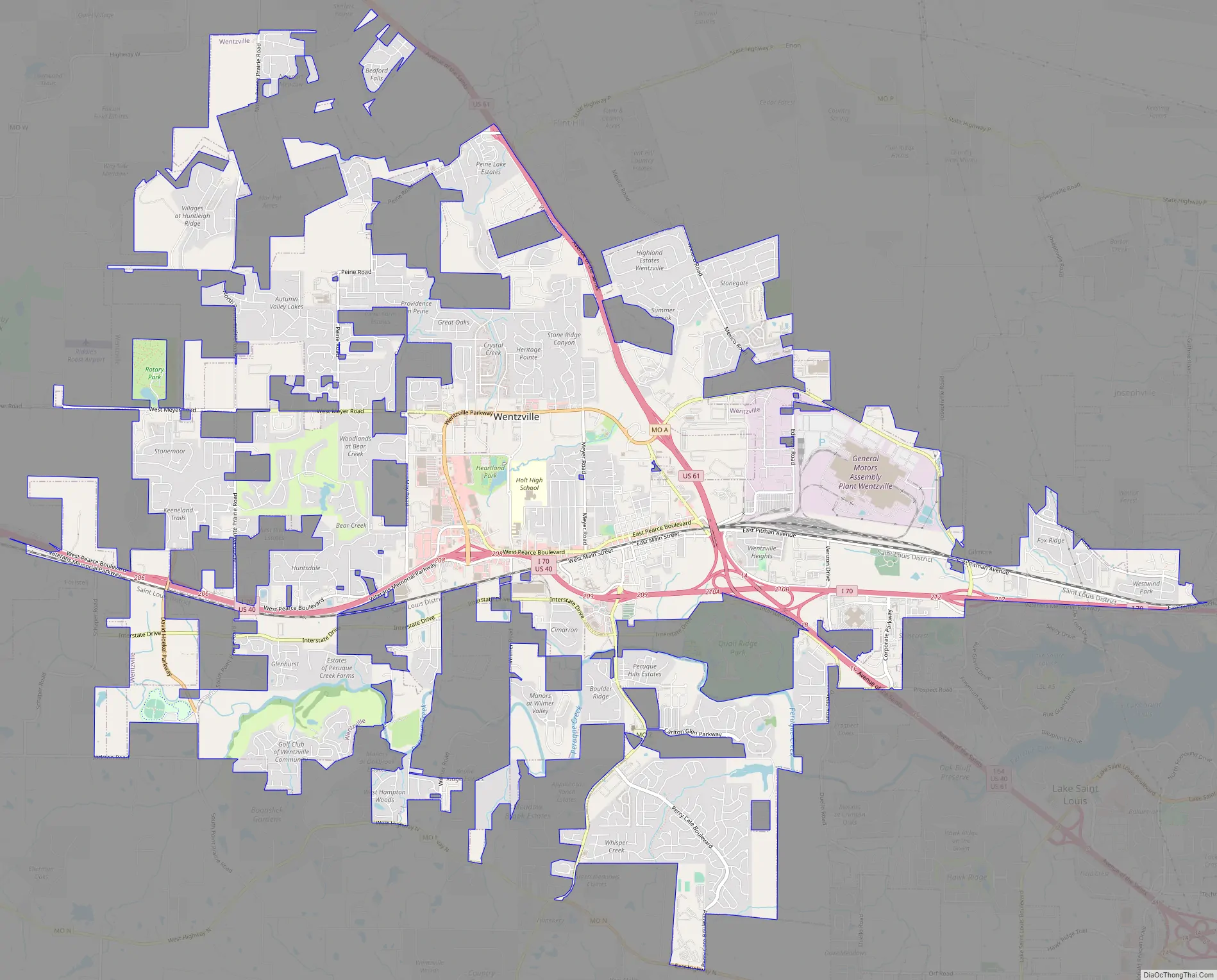
Wentzville Road Map
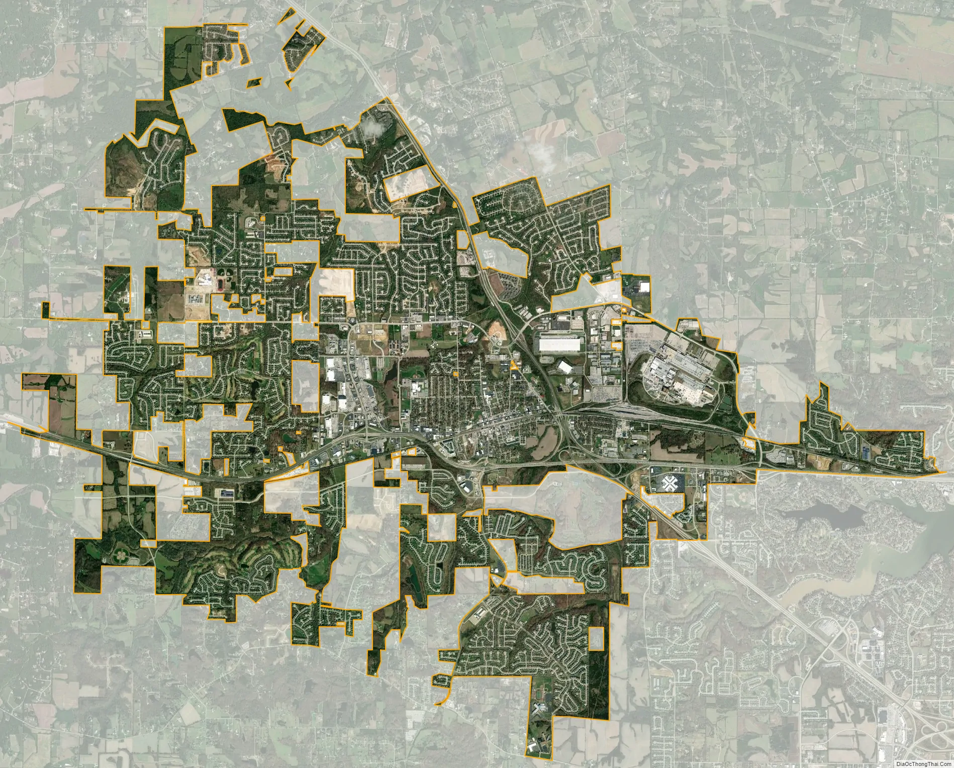
Wentzville city Satellite Map
Geography
Wentzville is located at 38°48’58” North, 90°51’26” West (38.816010, −90.857198).
According to the United States Census Bureau, the city has a total area of 19.98 square miles (51.75 km), of which 19.96 square miles (51.70 km) is land and 0.02 square miles (0.05 km) is water.
See also
Map of Missouri State and its subdivision:- Adair
- Andrew
- Atchison
- Audrain
- Barry
- Barton
- Bates
- Benton
- Bollinger
- Boone
- Buchanan
- Butler
- Caldwell
- Callaway
- Camden
- Cape Girardeau
- Carroll
- Carter
- Cass
- Cedar
- Chariton
- Christian
- Clark
- Clay
- Clinton
- Cole
- Cooper
- Crawford
- Dade
- Dallas
- Daviess
- De Kalb
- Dent
- Douglas
- Dunklin
- Franklin
- Gasconade
- Gentry
- Greene
- Grundy
- Harrison
- Henry
- Hickory
- Holt
- Howard
- Howell
- Iron
- Jackson
- Jasper
- Jefferson
- Johnson
- Knox
- Laclede
- Lafayette
- Lawrence
- Lewis
- Lincoln
- Linn
- Livingston
- Macon
- Madison
- Maries
- Marion
- McDonald
- Mercer
- Miller
- Mississippi
- Moniteau
- Monroe
- Montgomery
- Morgan
- New Madrid
- Newton
- Nodaway
- Oregon
- Osage
- Ozark
- Pemiscot
- Perry
- Pettis
- Phelps
- Pike
- Platte
- Polk
- Pulaski
- Putnam
- Ralls
- Randolph
- Ray
- Reynolds
- Ripley
- Saint Charles
- Saint Clair
- Saint Francois
- Saint Louis
- Sainte Genevieve
- Saline
- Schuyler
- Scotland
- Scott
- Shannon
- Shelby
- Stoddard
- Stone
- Sullivan
- Taney
- Texas
- Vernon
- Warren
- Washington
- Wayne
- Webster
- Worth
- Wright
- Alabama
- Alaska
- Arizona
- Arkansas
- California
- Colorado
- Connecticut
- Delaware
- District of Columbia
- Florida
- Georgia
- Hawaii
- Idaho
- Illinois
- Indiana
- Iowa
- Kansas
- Kentucky
- Louisiana
- Maine
- Maryland
- Massachusetts
- Michigan
- Minnesota
- Mississippi
- Missouri
- Montana
- Nebraska
- Nevada
- New Hampshire
- New Jersey
- New Mexico
- New York
- North Carolina
- North Dakota
- Ohio
- Oklahoma
- Oregon
- Pennsylvania
- Rhode Island
- South Carolina
- South Dakota
- Tennessee
- Texas
- Utah
- Vermont
- Virginia
- Washington
- West Virginia
- Wisconsin
- Wyoming