O’Fallon (/oʊˈfælən/ oh-FAL-ən) is a city in St. Charles County, Missouri, United States. It is part of the St. Louis metropolitan statistical area, located along Interstates 64 and 70 between Lake St. Louis and St. Peters. As of the 2020 census, O’Fallon had a population of 91,316, making it the largest suburb of St. Louis, as well as the largest municipality in St. Charles County and the seventh-largest in Missouri. O’Fallon’s namesake in St. Clair County, Illinois, is also part of the St. Louis region. The two cities are one of the few pairs of same-named municipalities to be part of the same metro area.
| Name: | O’Fallon city |
|---|---|
| LSAD Code: | 25 |
| LSAD Description: | city (suffix) |
| State: | Missouri |
| County: | St. Charles County |
| Incorporated: | September 25, 1912 |
| Elevation: | 541 ft (165 m) |
| Land Area: | 30.50 sq mi (79.00 km²) |
| Water Area: | 0.00 sq mi (0.01 km²) |
| Population Density: | 2,993.67/sq mi (1,155.87/km²) |
| ZIP code: | 63366, 63368 |
| Area code: | 636 |
| FIPS code: | 2954074 |
| GNISfeature ID: | 0756460 |
| Website: | www.ofallon.mo.us |
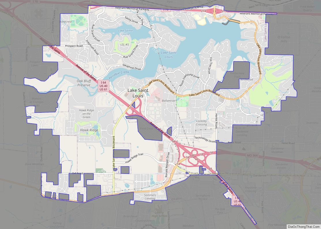
Online Interactive Map
Click on ![]() to view map in "full screen" mode.
to view map in "full screen" mode.
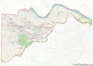
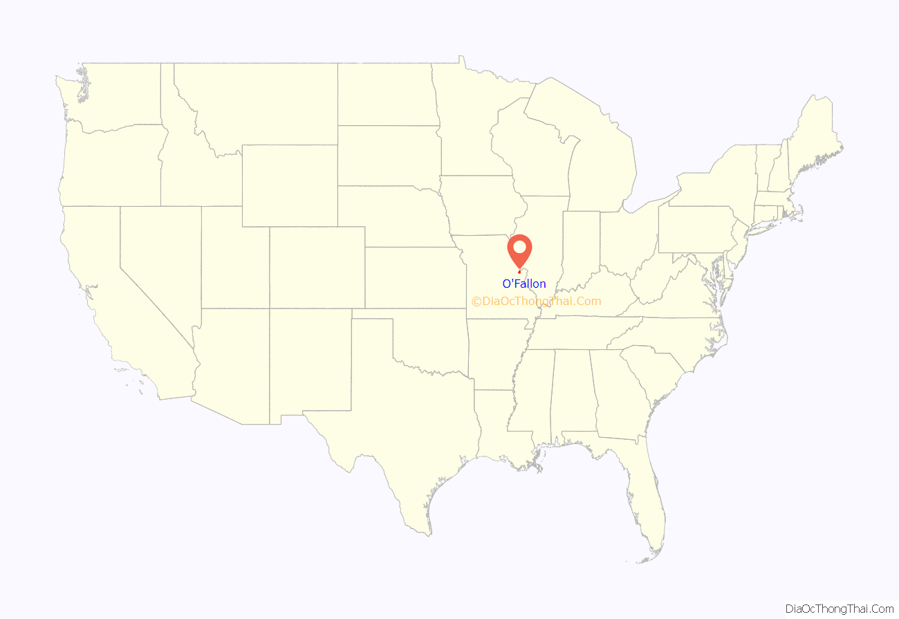
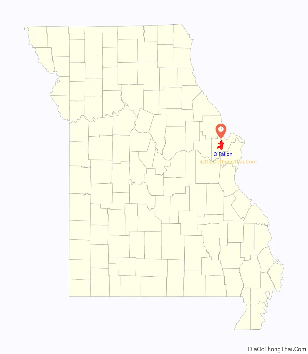
O’Fallon location map. Where is O’Fallon city?
History
O’Fallon was founded in 1856 by Nicholas Krekel. The community was named by Krekel’s older brother, Judge Arnold Krekel, after John O’Fallon, the president of the North Missouri Railroad. A post office called O’Fallon has been in operation since 1859 with its first postmaster being Nicholas Krekel. The St. Mary’s Institute of O’Fallon was listed on the National Register of Historic Places in 2007.
In 2006, Money magazine named O’Fallon 39th in its “Best 100 Places to Live”. The magazine also ranked O’Fallon 68th out of 100 in 2008, 26th out of 100 in 2010, and 42nd out of 100 in 2017.
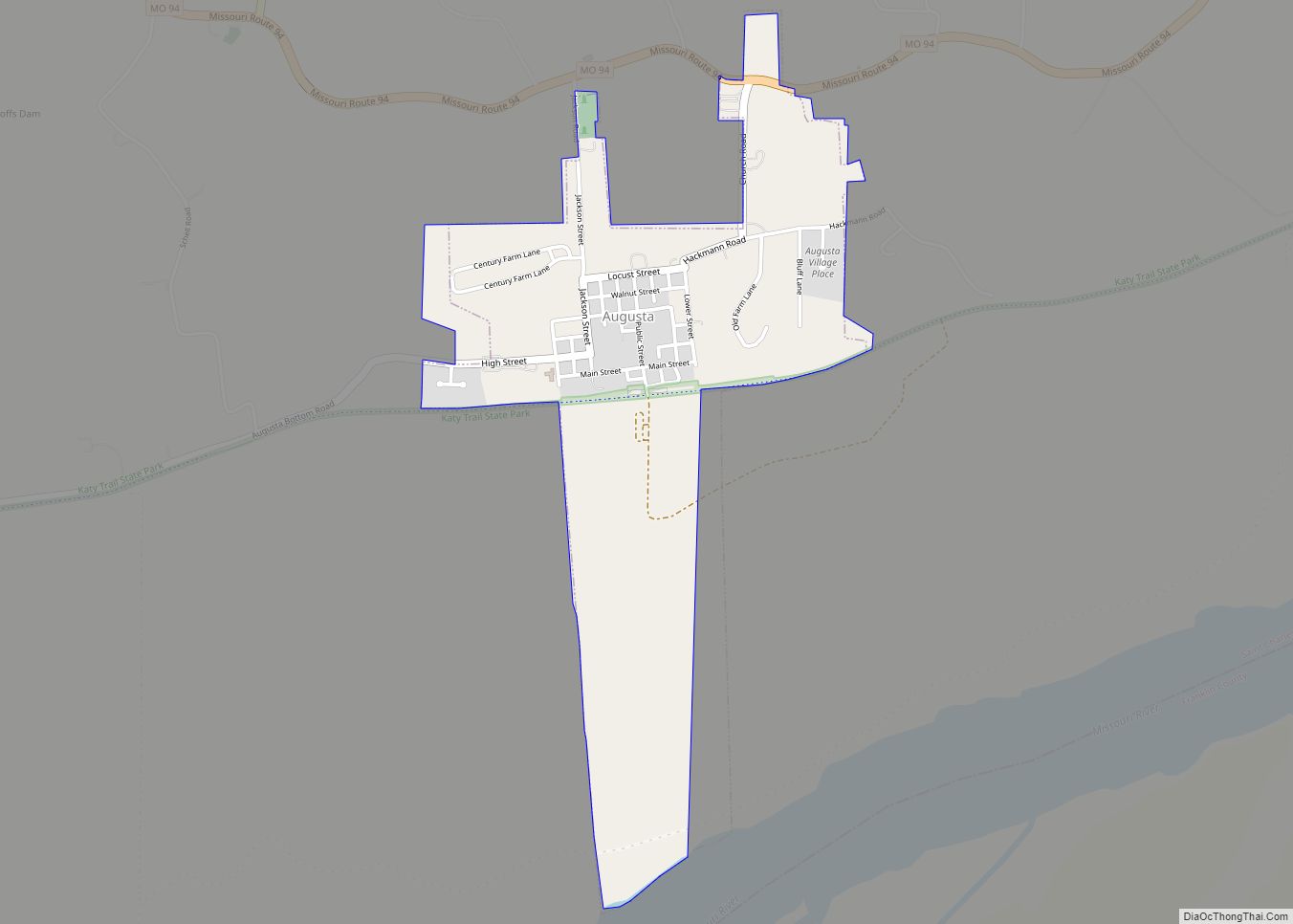
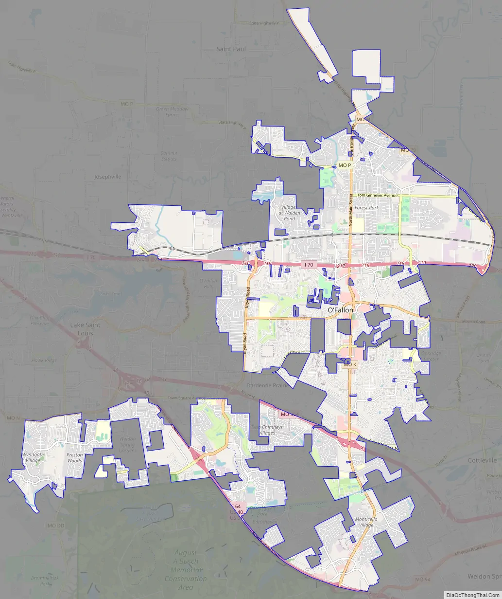
O’Fallon Road Map
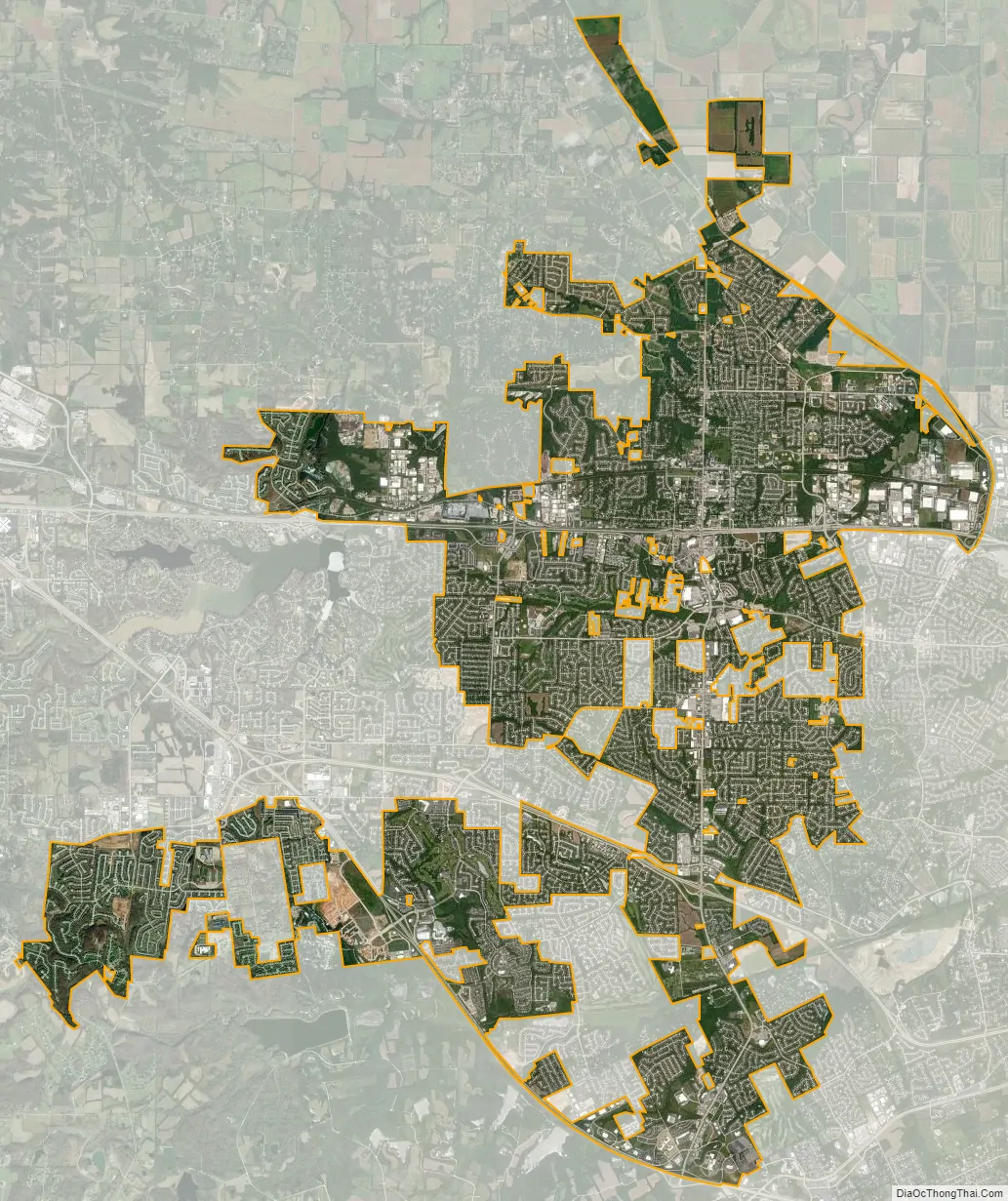
O’Fallon city Satellite Map
Geography
According to the United States Census Bureau, the city has a total area of 29.20 square miles (75.63 km), of which 29.19 square miles (75.60 km) are land and 0.01 square miles (0.03 km) is covered by water.
Climate
O’Fallon has a humid subtropical climate (Köppen Cfa). Summers are hot and humid, while winters are moderately cold.
See also
Map of Missouri State and its subdivision:- Adair
- Andrew
- Atchison
- Audrain
- Barry
- Barton
- Bates
- Benton
- Bollinger
- Boone
- Buchanan
- Butler
- Caldwell
- Callaway
- Camden
- Cape Girardeau
- Carroll
- Carter
- Cass
- Cedar
- Chariton
- Christian
- Clark
- Clay
- Clinton
- Cole
- Cooper
- Crawford
- Dade
- Dallas
- Daviess
- De Kalb
- Dent
- Douglas
- Dunklin
- Franklin
- Gasconade
- Gentry
- Greene
- Grundy
- Harrison
- Henry
- Hickory
- Holt
- Howard
- Howell
- Iron
- Jackson
- Jasper
- Jefferson
- Johnson
- Knox
- Laclede
- Lafayette
- Lawrence
- Lewis
- Lincoln
- Linn
- Livingston
- Macon
- Madison
- Maries
- Marion
- McDonald
- Mercer
- Miller
- Mississippi
- Moniteau
- Monroe
- Montgomery
- Morgan
- New Madrid
- Newton
- Nodaway
- Oregon
- Osage
- Ozark
- Pemiscot
- Perry
- Pettis
- Phelps
- Pike
- Platte
- Polk
- Pulaski
- Putnam
- Ralls
- Randolph
- Ray
- Reynolds
- Ripley
- Saint Charles
- Saint Clair
- Saint Francois
- Saint Louis
- Sainte Genevieve
- Saline
- Schuyler
- Scotland
- Scott
- Shannon
- Shelby
- Stoddard
- Stone
- Sullivan
- Taney
- Texas
- Vernon
- Warren
- Washington
- Wayne
- Webster
- Worth
- Wright
- Alabama
- Alaska
- Arizona
- Arkansas
- California
- Colorado
- Connecticut
- Delaware
- District of Columbia
- Florida
- Georgia
- Hawaii
- Idaho
- Illinois
- Indiana
- Iowa
- Kansas
- Kentucky
- Louisiana
- Maine
- Maryland
- Massachusetts
- Michigan
- Minnesota
- Mississippi
- Missouri
- Montana
- Nebraska
- Nevada
- New Hampshire
- New Jersey
- New Mexico
- New York
- North Carolina
- North Dakota
- Ohio
- Oklahoma
- Oregon
- Pennsylvania
- Rhode Island
- South Carolina
- South Dakota
- Tennessee
- Texas
- Utah
- Vermont
- Virginia
- Washington
- West Virginia
- Wisconsin
- Wyoming