Hornbrook is a census-designated place (CDP) in Siskiyou County, California, United States. Its population is 266 as of the 2020 census, up from 248 from the 2010 census. It was named by the Southern Pacific Railroad in 1886, derived from the brook that ran through David Horn’s property.
| Name: | Hornbrook CDP |
|---|---|
| LSAD Code: | 57 |
| LSAD Description: | CDP (suffix) |
| State: | California |
| County: | Siskiyou County |
| Elevation: | 2,172 ft (662 m) |
| Total Area: | 1.176 sq mi (3.047 km²) |
| Land Area: | 1.165 sq mi (3.017 km²) |
| Water Area: | 0.011 sq mi (0.029 km²) 0.96% |
| Total Population: | 266 |
| Population Density: | 230/sq mi (87/km²) |
| ZIP code: | 96044 |
| Area code: | 530 |
| FIPS code: | 0634694 |
| GNISfeature ID: | 0266820 |
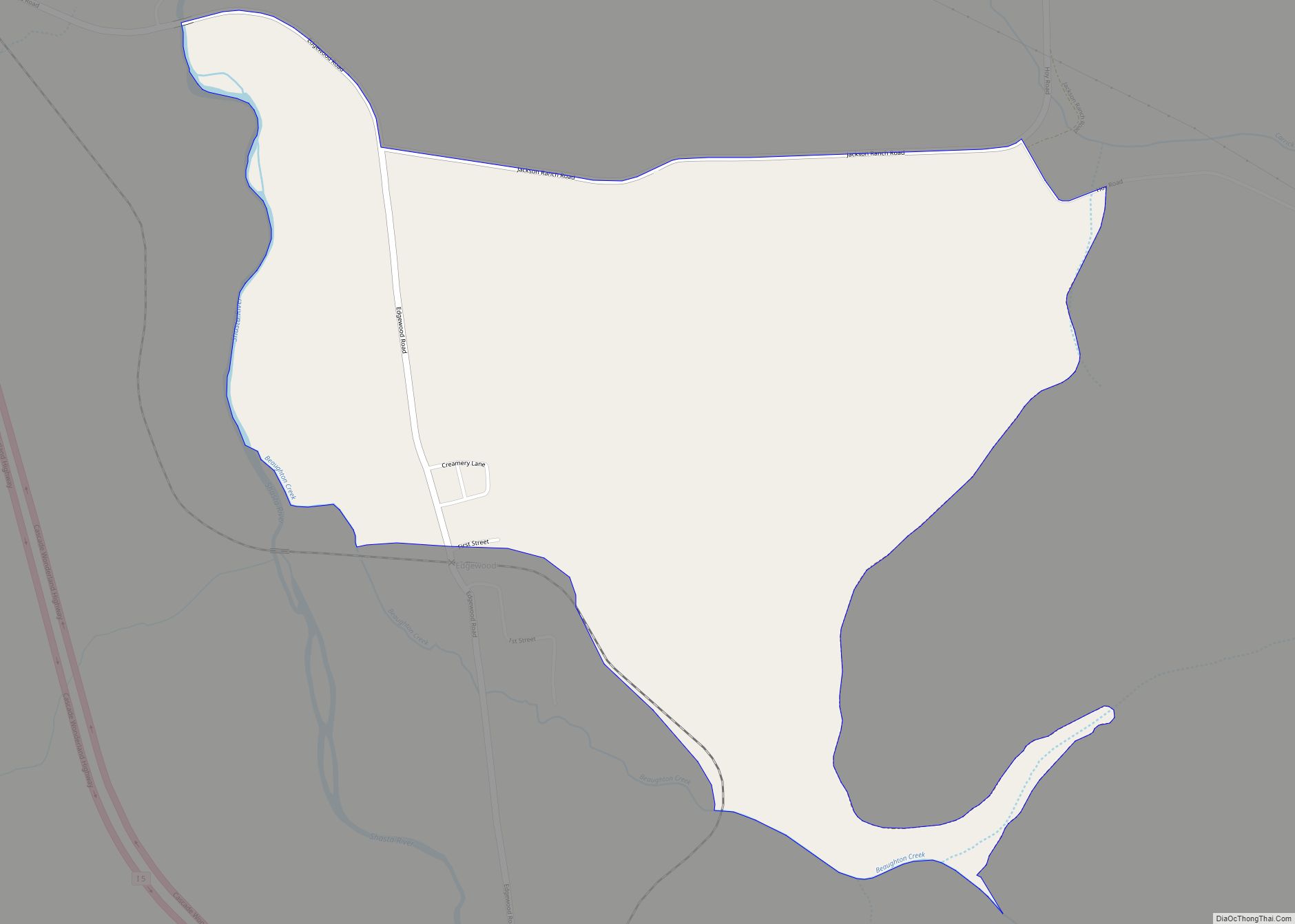
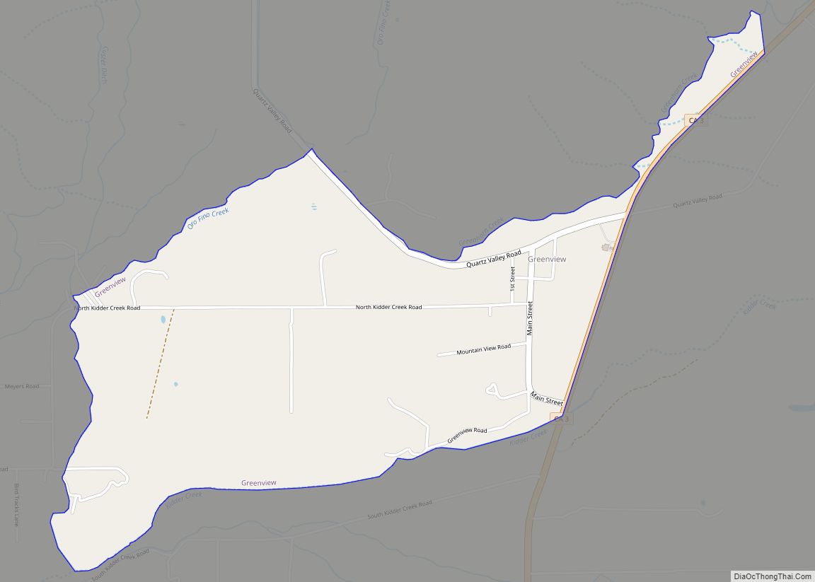
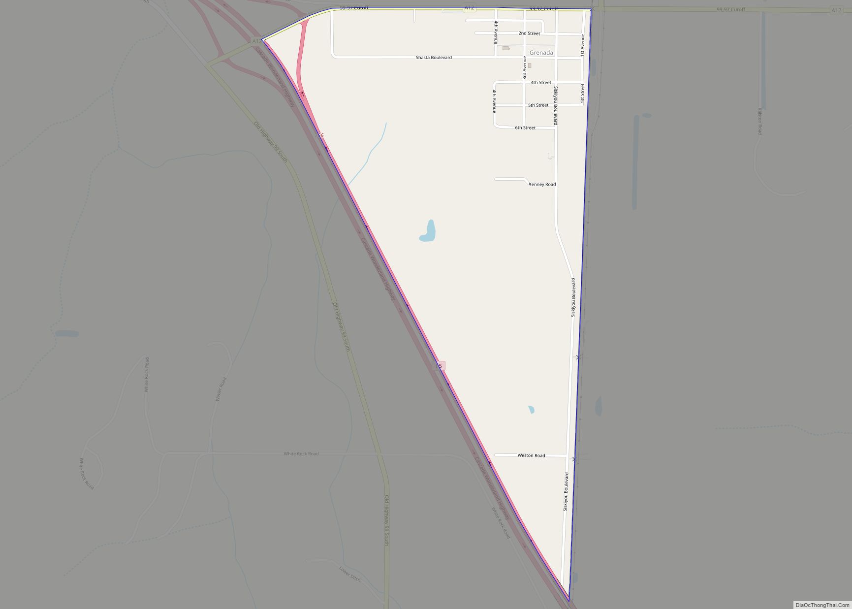
Online Interactive Map
Click on ![]() to view map in "full screen" mode.
to view map in "full screen" mode.
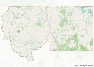
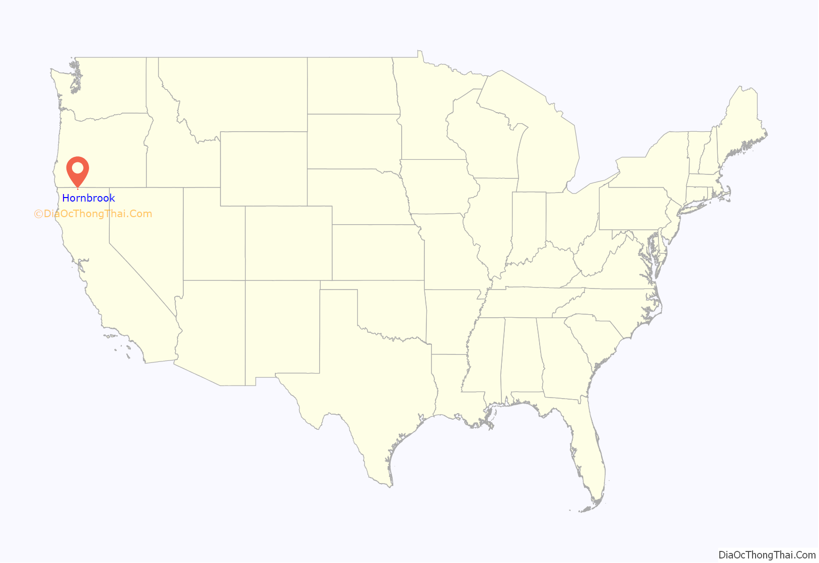
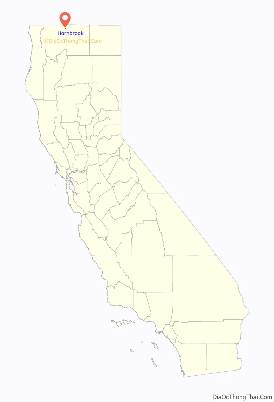
Hornbrook location map. Where is Hornbrook CDP?
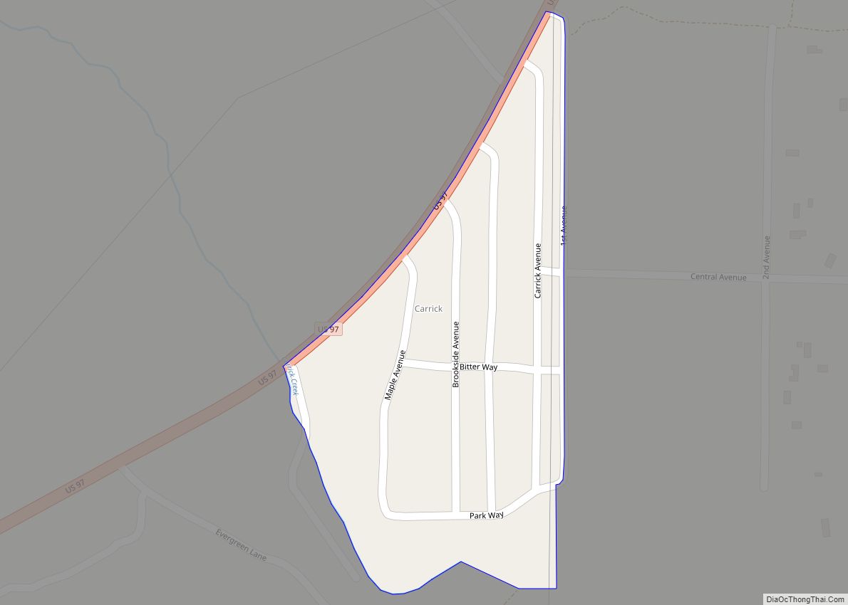
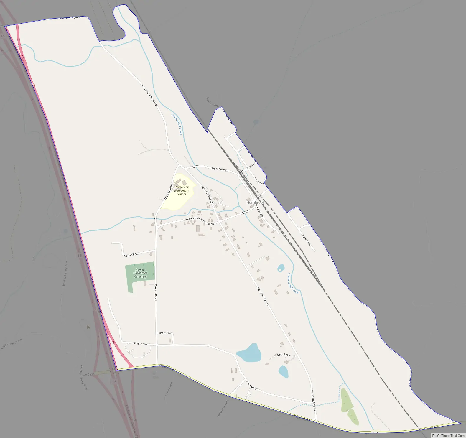
Hornbrook Road Map
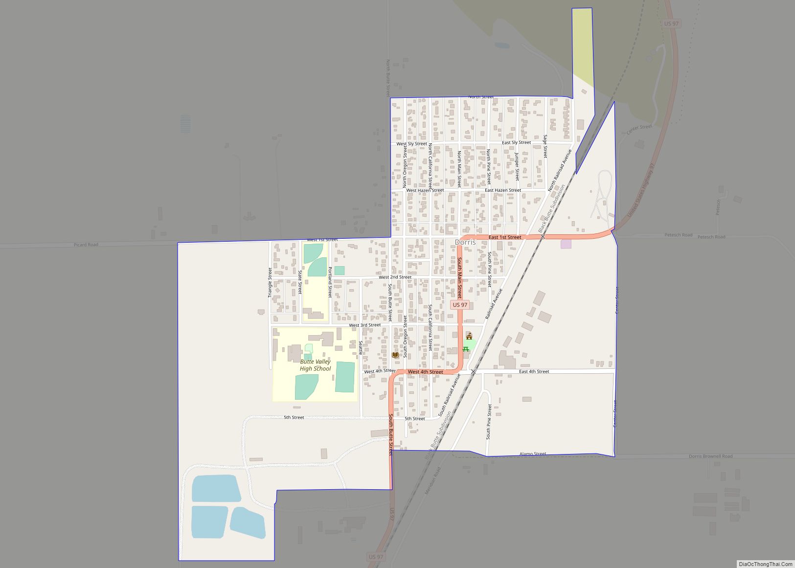
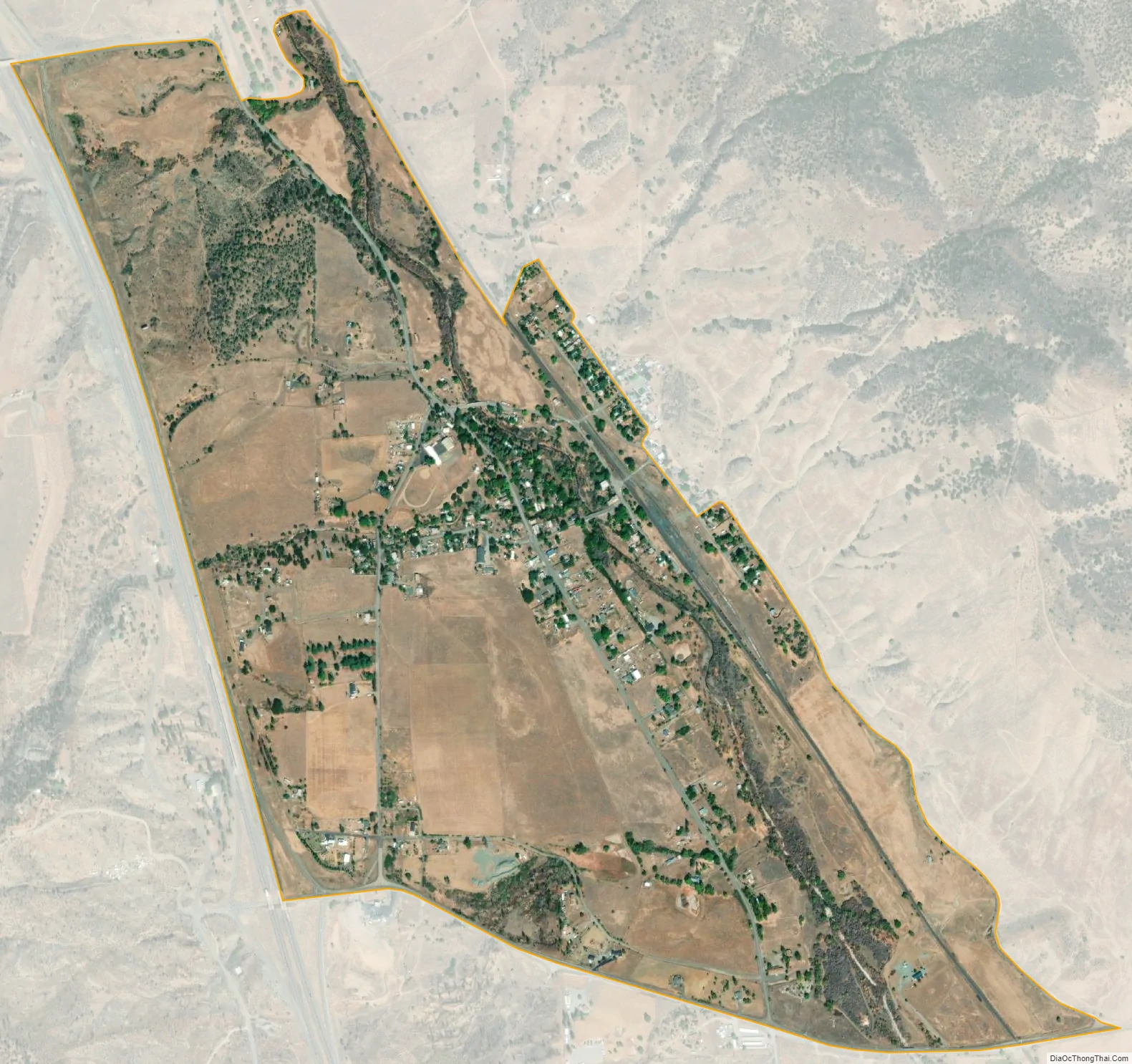
Hornbrook city Satellite Map
Geography
Hornbrook is located at 41°54′35″N 122°33′27″W / 41.90972°N 122.55750°W / 41.90972; -122.55750 (41.909594, -122.557628).
According to the United States Census Bureau, the CDP has a total area of 1.2 square miles (3.1 km), 99.04% of it land and 0.96% of it water.
Climate
This region experiences warm (but not hot) and dry summers, with no average monthly temperatures above 71.6 °F. According to the Köppen Climate Classification system, Hornbrook has a warm-summer Mediterranean climate, abbreviated “Csb” on climate maps.
See also
Map of California State and its subdivision:- Alameda
- Alpine
- Amador
- Butte
- Calaveras
- Colusa
- Contra Costa
- Del Norte
- El Dorado
- Fresno
- Glenn
- Humboldt
- Imperial
- Inyo
- Kern
- Kings
- Lake
- Lassen
- Los Angeles
- Madera
- Marin
- Mariposa
- Mendocino
- Merced
- Modoc
- Mono
- Monterey
- Napa
- Nevada
- Orange
- Placer
- Plumas
- Riverside
- Sacramento
- San Benito
- San Bernardino
- San Diego
- San Francisco
- San Joaquin
- San Luis Obispo
- San Mateo
- Santa Barbara
- Santa Clara
- Santa Cruz
- Shasta
- Sierra
- Siskiyou
- Solano
- Sonoma
- Stanislaus
- Sutter
- Tehama
- Trinity
- Tulare
- Tuolumne
- Ventura
- Yolo
- Yuba
- Alabama
- Alaska
- Arizona
- Arkansas
- California
- Colorado
- Connecticut
- Delaware
- District of Columbia
- Florida
- Georgia
- Hawaii
- Idaho
- Illinois
- Indiana
- Iowa
- Kansas
- Kentucky
- Louisiana
- Maine
- Maryland
- Massachusetts
- Michigan
- Minnesota
- Mississippi
- Missouri
- Montana
- Nebraska
- Nevada
- New Hampshire
- New Jersey
- New Mexico
- New York
- North Carolina
- North Dakota
- Ohio
- Oklahoma
- Oregon
- Pennsylvania
- Rhode Island
- South Carolina
- South Dakota
- Tennessee
- Texas
- Utah
- Vermont
- Virginia
- Washington
- West Virginia
- Wisconsin
- Wyoming