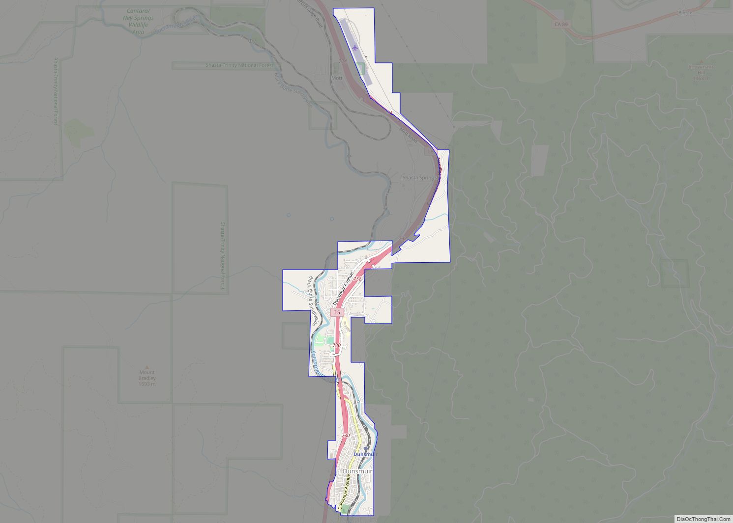
Dunsmuir is a city in Siskiyou County, northern California. It is on the upper Sacramento River. Its population is 1,707 as of the 2020 census, up from 1,650 from the 2010 census.
Dunsmuir is currently a hub for tourism in Northern California, with Interstate 5 passing through it. Visitors enjoy fishing, skiing, climbing, or sight-seeing. During the steam locomotive railroad era, it was notable for being the site of an important Central Pacific (and later Southern Pacific) railroad yard, where extra steam locomotives were added to assist trains on the grade to the north.
| Name: | Dunsmuir city |
|---|---|
| LSAD Code: | 25 |
| LSAD Description: | city (suffix) |
| State: | California |
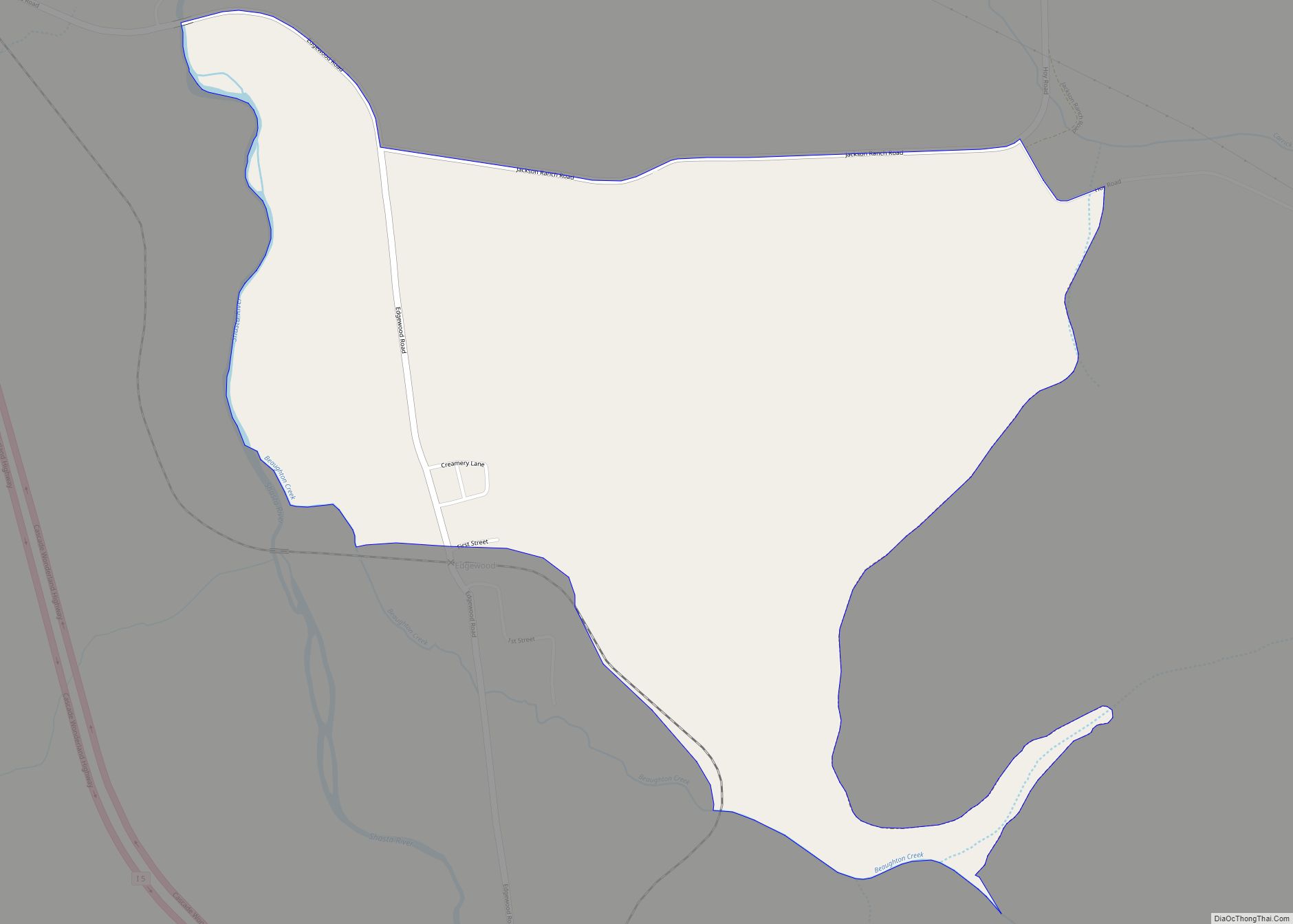
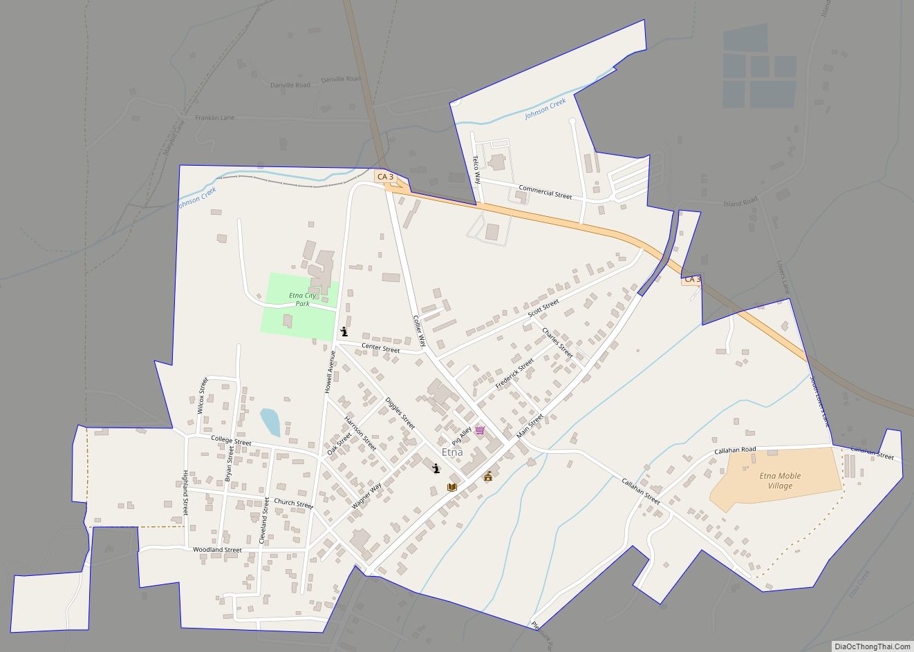
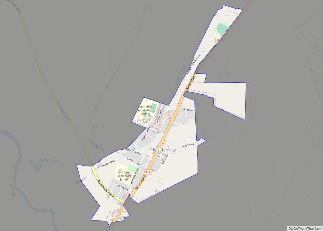
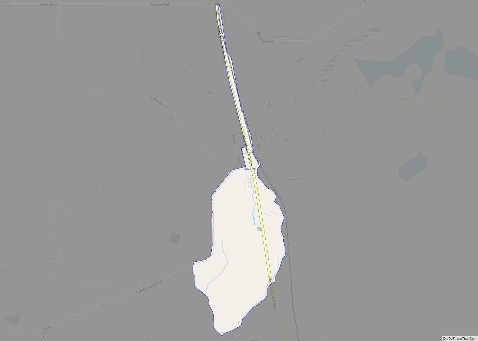
| County: | Siskiyou County |
| Incorporated: | August 7, 1909 |
| Elevation: | 2,290 ft (698 m) |
| Total Area: | 1.64 sq mi (4.25 km²) |
| Land Area: | 1.60 sq mi (4.16 km²) |
| Water Area: | 0.04 sq mi (0.09 km²) 2.14% |
| Total Population: | 1,707 |
| Population Density: | 1,064.21/sq mi (410.79/km²) |
| ZIP code: | 96025 |
| Area code: | 530 |
| FIPS code: | 0620242 |
| Website: | ci.dunsmuir.ca.us |
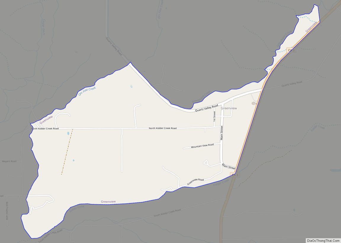
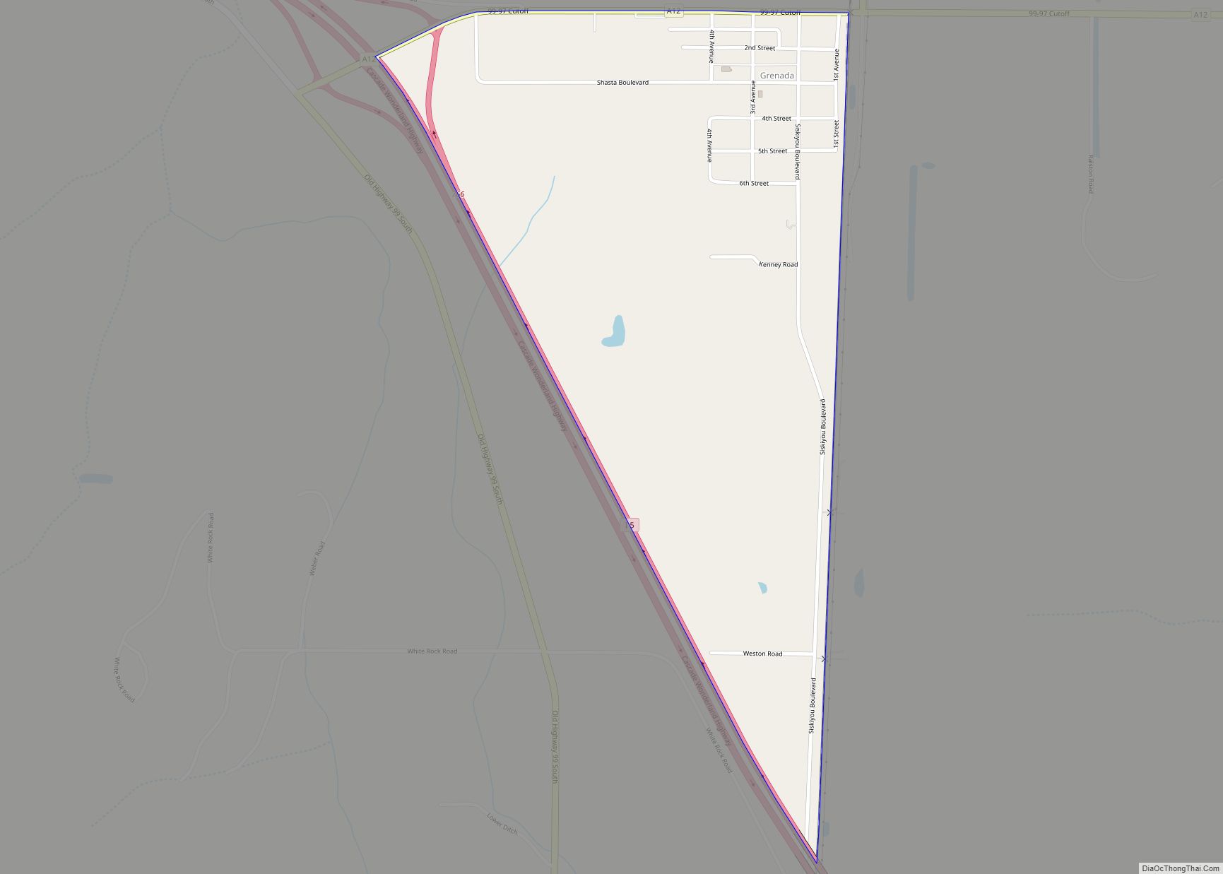
Online Interactive Map
Click on ![]() to view map in "full screen" mode.
to view map in "full screen" mode.
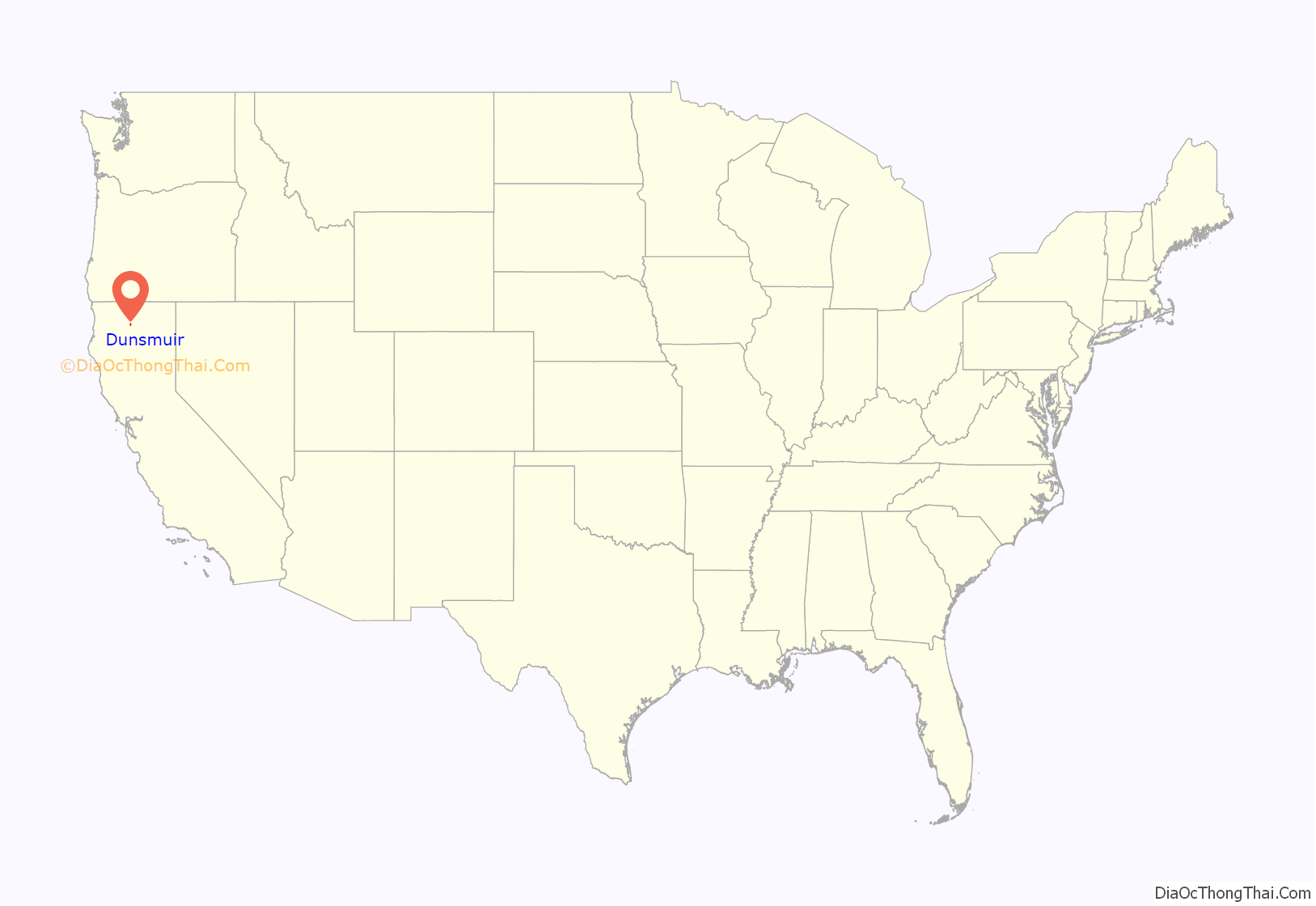
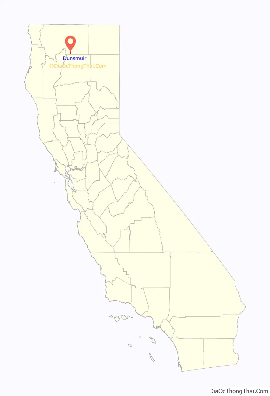
Dunsmuir location map. Where is Dunsmuir city?
History
Sites in and near Dunsmuir have been inhabited for over 5000 years. At least three waves of early peoples swept through area, establishing residence. At the time of the first European-American contact in the 1820s, the site of Dunsmuir was within the range of the Okwanuchu tribe of Native Americans. Some believe the indigenous peoples of the area were wiped out when the U.S. Army fed them poisoned beef when they came in and signed a peace treaty. However, this point remains open to speculation, as there are few concrete sources of evidence to support this claim.
During the 1820s, early European-American hunters and trappers passed through Dunsmuir’s site, following the Siskiyou Trail. In the mid-1830s, pioneer horse and cattle drives came up the Sacramento Canyon, delivering livestock from Mexican California to the new settlements in the Oregon Country to the north. In 1841, an overland party of the famous United States Exploring Expedition passed through the area.
The California Gold Rush led to increased traffic along the Siskiyou Trail through Dunsmuir’s site, leading to the first non-Native American settlers at Upper Soda Springs in north Dunsmuir in the early 1850s. The discovery of gold at Yreka, California dramatically increased movement through the site of Dunsmuir, and a toll bridge and stagecoach hotel were built at Upper Soda Springs.
In 1887, the completion of the Central Pacific Railroad along the line of the Siskiyou Trail led to the creation of the modern town of Dunsmuir. The railroad developed a division point on the flats south of Upper Soda Springs, where railroad steam engines would be serviced, and added to trains to push them up the steep grades north of town. A roundhouse and turntable were built. All this activity required the creation of a town, initially known as ‘Poverty Flats’ or ‘Pusher’. South of the present downtown and north of Castella is an area known as Nutglade, which was previously known as Dunsmuir and before that, Cedar Flat. So the name moved north from the South rail yard to the main rail yard. During the railroad heyday, Dunsmuir was the largest town in this County which is the size of Delaware and Rhode Island combined.
In 1888, Alexander Dunsmuir, second son of British Columbian coal baron Robert Dunsmuir, was passing through, and according to contemporary accounts, was so taken with the beauty of the area that he offered to donate a fountain to the new town, if they would rename the town in his honor.
By the early 1900s, Dunsmuir was the largest town in Siskiyou County, and for a long time had been the largest California city north of Sacramento. The construction of the Pacific Highway along the Siskiyou Trail in the mid-1910s brought more tourists. By the mid-1950s, the railroad transitioned from steam to diesel locomotives, and the substantial workforce in Dunsmuir was not needed, resulting in the town’s contraction. Interstate 5 runs through the canyon along with the railroad and the upper Sacramento River.
As a result, Dunsmuir retains today much of the charm and scale of the 1920s and 1930s, and has been designated on the National Register of Historic Places. The downtown area is now a designated historic district. The California Theater, currently under renovation, is unique in that after fifty years without an organ, they were able to acquire and re-install their original Wurlitzer instrument.
In July 1935, two fugitives were passing through town. Police Chief F.R. “Jack” Daw, and California Highway Patrol Officer C. “Doc” Malone went to catch them. The criminals ambushed the officers wounding Officer Malone and killing Chief Daw. One of the criminals, Clyde Johnson, was caught and put in jail in Yreka to await trial. A group of vigilantes from Dunsmuir went to Yreka, broke Johnson out of jail and lynched him. To this day the identity of those vigilantes has never been formally acknowledged. It is said to have been the last public lynching in California.
California’s largest hazardous chemical spill
On the night of July 14, 1991, a Southern Pacific train derailed into the upper Sacramento River at a horseshoe curve of track known as the Cantara Loop, upstream from Dunsmuir. Several cars made contact with the water, including a tank car. On the morning of July 15, it became apparent that the tank car had ruptured and spilled its entire contents into the river – approximately 19,000 gallons of the soil fumigant metam sodium. Ultimately, over a million fish, and tens of thousands of amphibians and crayfish were killed. Millions of aquatic invertebrates, including insects and mollusks, which form the basis of the river’s ecosystem, were destroyed. Hundreds of thousands of willows, alders, and cottonwoods eventually died. Many more were severely injured. The chemical plume left a 41-mile wake of destruction, from the spill site to the entry point of the river into Shasta Lake. The accident still ranks as the largest hazardous chemical spill in California history.
The Upper Sacramento River is now largely recovered from the spill though some species (crayfish and frogs) have not yet come back. The watershed is carefully stewarded by The Upper Sacramento River Exchange. The popular fishery is again healthy. Recent changes to angling regulations have opened the Upper Sacramento River to catch-and-release fishing all year round. Five-pound trout have often been caught right in the city.
Dunsmuir Road Map

Dunsmuir city Satellite Map

Geography
Dunsmuir is located at 41°13′18″N 122°16′23″W / 41.22167°N 122.27306°W / 41.22167; -122.27306.
According to the United States Census Bureau, the city has a total area of 1.7 square miles (4.4 km), 97.86% of it land and 2.14% of it water.
At an elevation of approximately 2,350 feet (720 m) above sea level, a unique setting is created by the Sacramento River in which class 3 whitewater rapids are usually created during summer run off through a town of about 2,000 residents. In plain view from some of the city’s public streets, this may be one of the few places in western North America where three categories of “twos” (population, elevation, and whitewater difficulty) are met or eclipsed. (Eastern US example-The Cherry River at Richwood, WV)
Mt. Shasta’s lava layers filter the drinking water and eliminate the need for filtration or treatment; thus the town’s marketing slogan, “Home Of The Best Water On Earth”. Three water fountains are located on Dunsmuir Avenue in the Historic District. Two of the fountains previously ran 24 hours a day, however have since been changed in 2015 to only flow on demand due to water conservation measures placed on the state of California by Governor Jerry Brown.
See also
Map of California State and its subdivision:- Alameda
- Alpine
- Amador
- Butte
- Calaveras
- Colusa
- Contra Costa
- Del Norte
- El Dorado
- Fresno
- Glenn
- Humboldt
- Imperial
- Inyo
- Kern
- Kings
- Lake
- Lassen
- Los Angeles
- Madera
- Marin
- Mariposa
- Mendocino
- Merced
- Modoc
- Mono
- Monterey
- Napa
- Nevada
- Orange
- Placer
- Plumas
- Riverside
- Sacramento
- San Benito
- San Bernardino
- San Diego
- San Francisco
- San Joaquin
- San Luis Obispo
- San Mateo
- Santa Barbara
- Santa Clara
- Santa Cruz
- Shasta
- Sierra
- Siskiyou
- Solano
- Sonoma
- Stanislaus
- Sutter
- Tehama
- Trinity
- Tulare
- Tuolumne
- Ventura
- Yolo
- Yuba
- Alabama
- Alaska
- Arizona
- Arkansas
- California
- Colorado
- Connecticut
- Delaware
- District of Columbia
- Florida
- Georgia
- Hawaii
- Idaho
- Illinois
- Indiana
- Iowa
- Kansas
- Kentucky
- Louisiana
- Maine
- Maryland
- Massachusetts
- Michigan
- Minnesota
- Mississippi
- Missouri
- Montana
- Nebraska
- Nevada
- New Hampshire
- New Jersey
- New Mexico
- New York
- North Carolina
- North Dakota
- Ohio
- Oklahoma
- Oregon
- Pennsylvania
- Rhode Island
- South Carolina
- South Dakota
- Tennessee
- Texas
- Utah
- Vermont
- Virginia
- Washington
- West Virginia
- Wisconsin
- Wyoming