Blountville is a census-designated place (CDP) in and the county seat of Sullivan County, Tennessee, United States. The population was 3,074 at the 2010 census. It is the only Tennessee county seat not to be an incorporated city or town.
Blountville is part of the Kingsport–Bristol (TN)–Bristol (VA) Metropolitan Statistical Area, which is a component of the Johnson City–Kingsport–Bristol, TN-VA Combined Statistical Area – commonly known as the “Tri-Cities” region.
| Name: | Blountville CDP |
|---|---|
| LSAD Code: | 57 |
| LSAD Description: | CDP (suffix) |
| State: | Tennessee |
| County: | Sullivan County |
| Founded: | 1795 |
| Elevation: | 1,539 ft (469 m) |
| Total Area: | 4.93 sq mi (12.78 km²) |
| Land Area: | 4.93 sq mi (12.78 km²) |
| Water Area: | 0.00 sq mi (0.00 km²) |
| Total Population: | 3,120 |
| Population Density: | 632.22/sq mi (244.12/km²) |
| ZIP code: | 37617 |
| Area code: | 423 |
| FIPS code: | 4706740 |
| GNISfeature ID: | 1305297 |
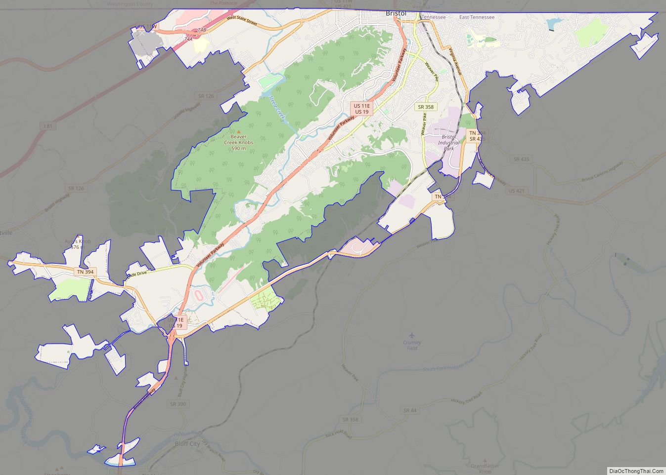
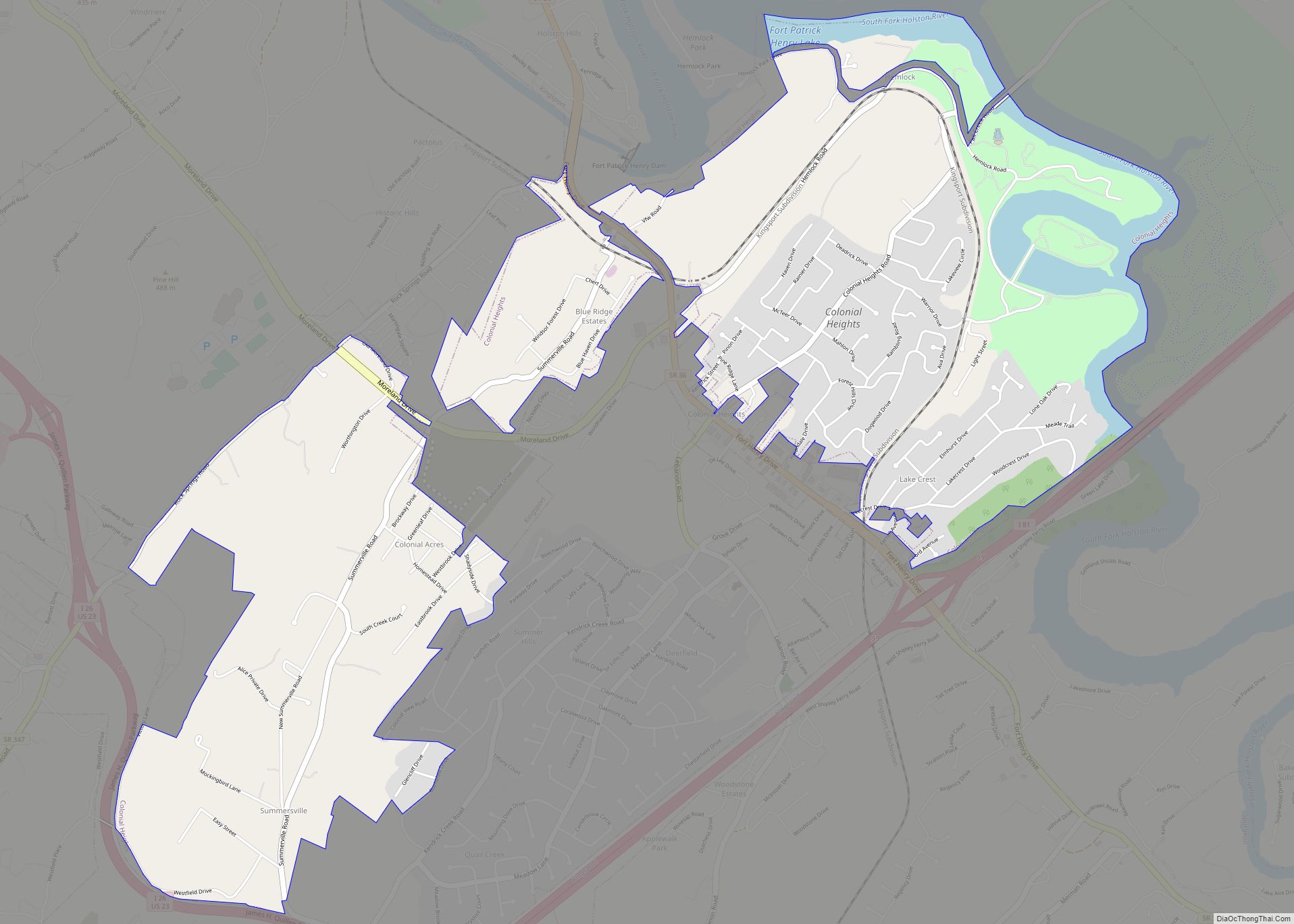
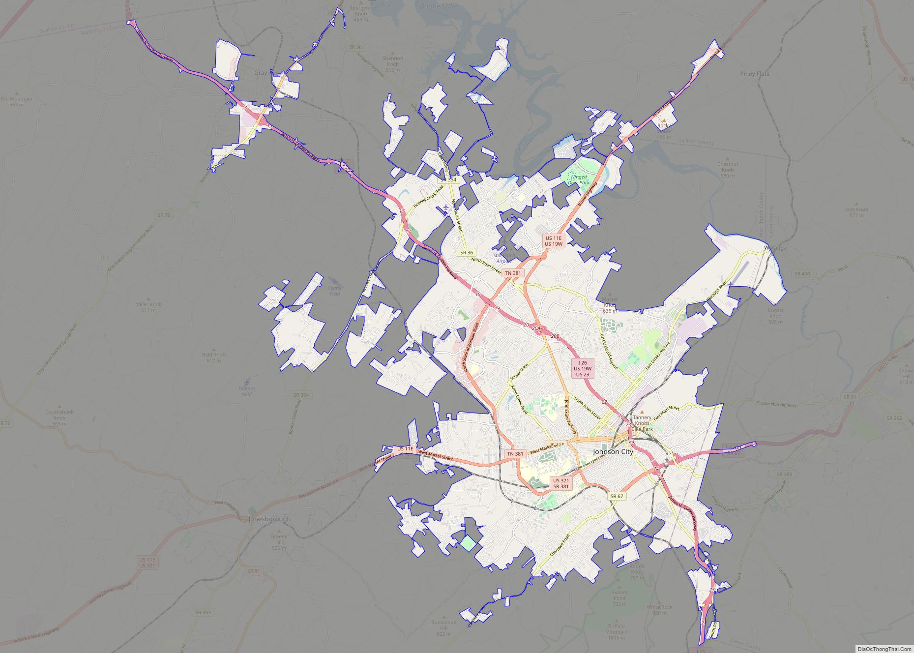
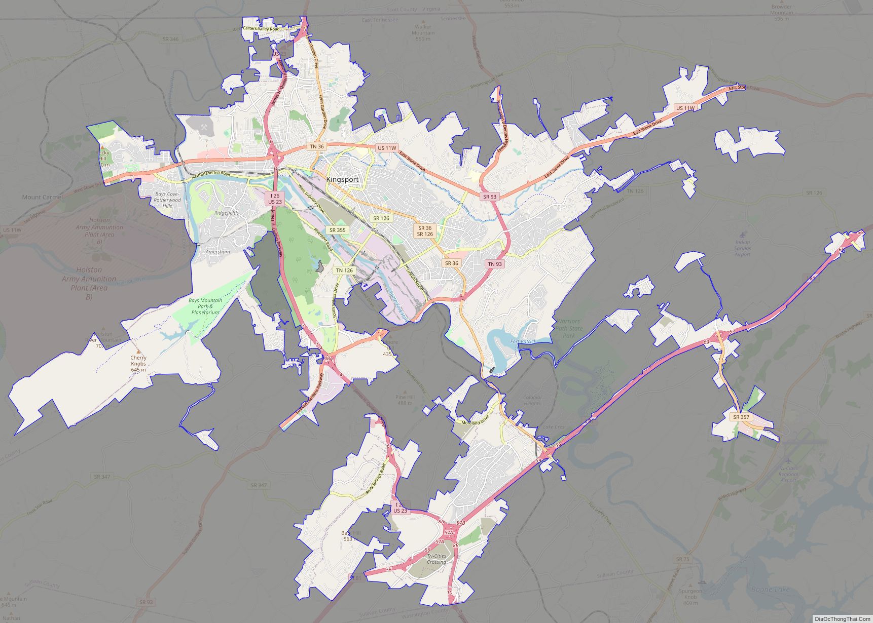
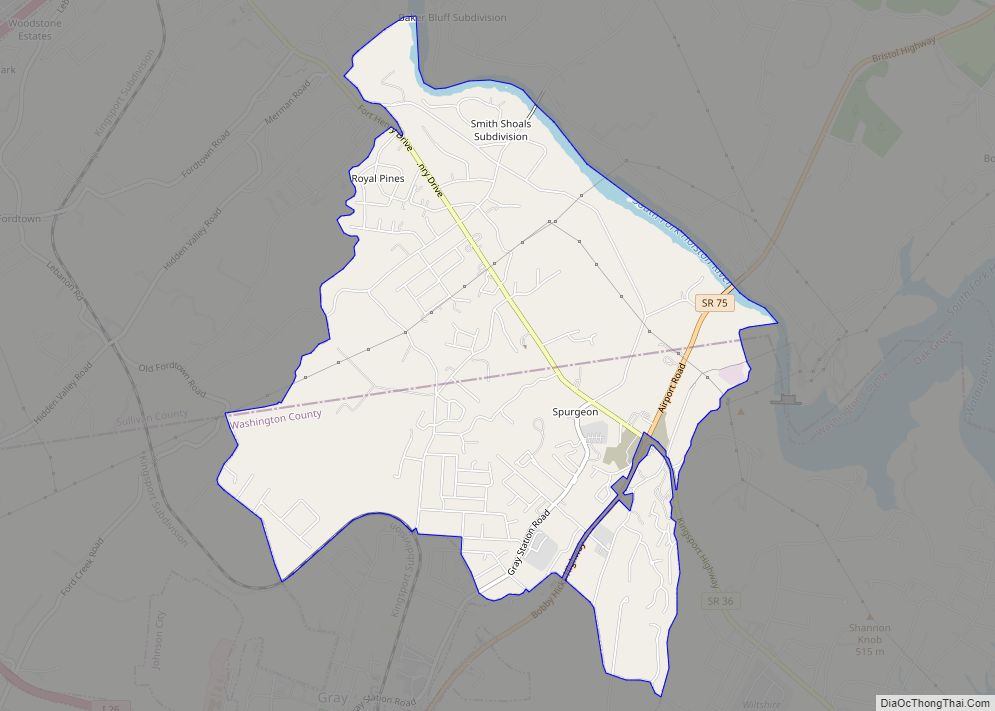
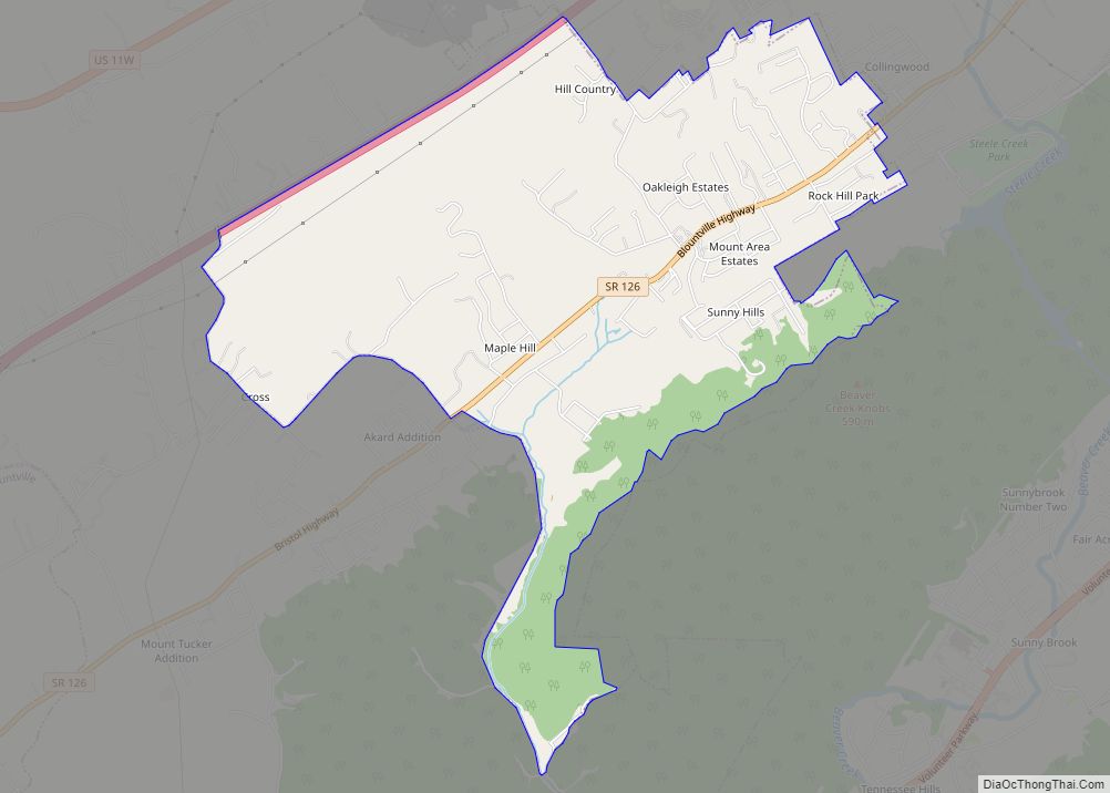
Online Interactive Map
Click on ![]() to view map in "full screen" mode.
to view map in "full screen" mode.
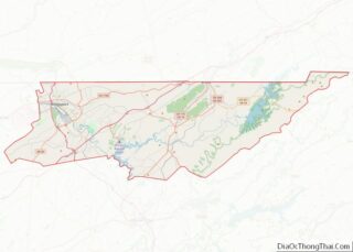
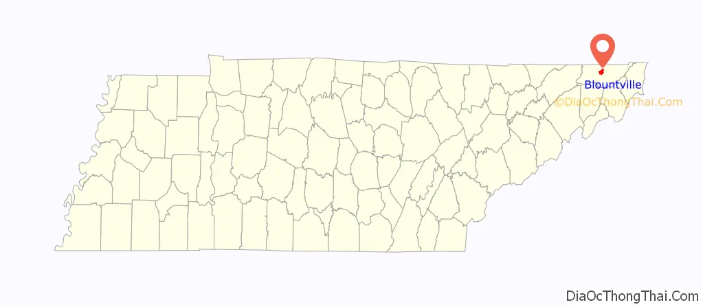
Blountville location map. Where is Blountville CDP?

History
The area that is now Blountville is thought to have been the location of a longhunter fort prior to its permanent settlement. The site of the town was part of a tract of about 600 acres (240 ha) of land bought by James Brigham in 1782. In 1792 Brigham gave 30 acres (12 ha) to Sullivan County for use as a county seat and established a hotel nearby. Blountville was laid off as a town and established as the county seat in 1795. The county’s first courthouse and jail was a log structure. In 1825 it was replaced with a brick building. By 1830, the settlement had 209 residents, two churches, six stores, two taverns, ten mechanics, one doctor, and one lawyer.
On the afternoon of September 22, 1863, during the Civil War, the town was the scene of the four-hour-long Battle of Blountville. During a major expedition into East Tennessee and Southwest Virginia, a Union Army unit attacked Confederate troops at Blountville. The town was shelled in the fighting and the courthouse was burned in the battle, which forced the Confederates to withdraw. The courthouse was rebuilt within the old walls in 1866. The current courthouse dates from a major construction that was done in 1920; it also includes additions made in 1958.
If Blountville were an incorporated town, it would qualify as the second oldest municipality in Tennessee (second only to Jonesborough); however, it was unincorporated at one point in order to avoid having redundant government services for such a small area and population. This unique status has led to some odd results, including a lawsuit in which it was ruled that neighboring Kingsport was not allowed to annex areas of Sullivan County within a defined distance of the courthouse, in effect ensuring that the county seat could not be annexed out of existence.
Historic district
Several of Blountville’s surviving 18th and 19th century buildings are included in an historic district listed on the National Register of Historic Places. The Deery Inn was built in the late 1700s and consists of three buildings: a two-story log home, a three-story stone house and a two-story frame building. All buildings are next to each other and attached. The home is a private residence.
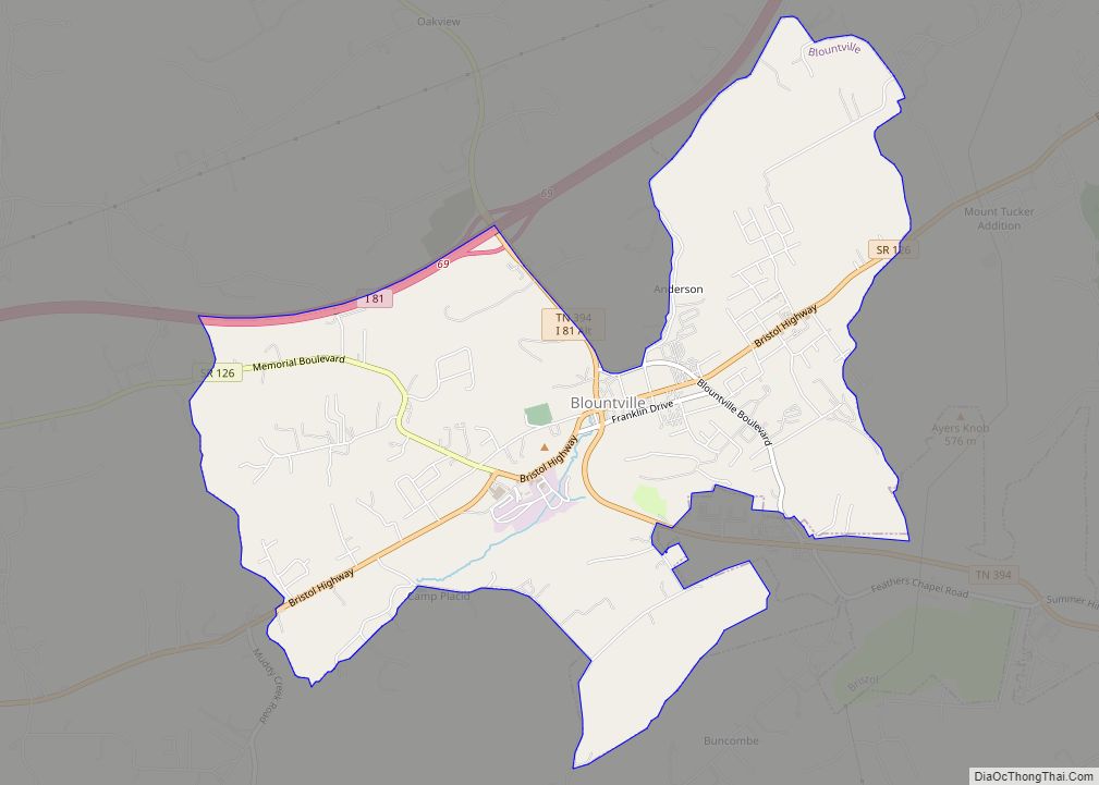
Blountville Road Map
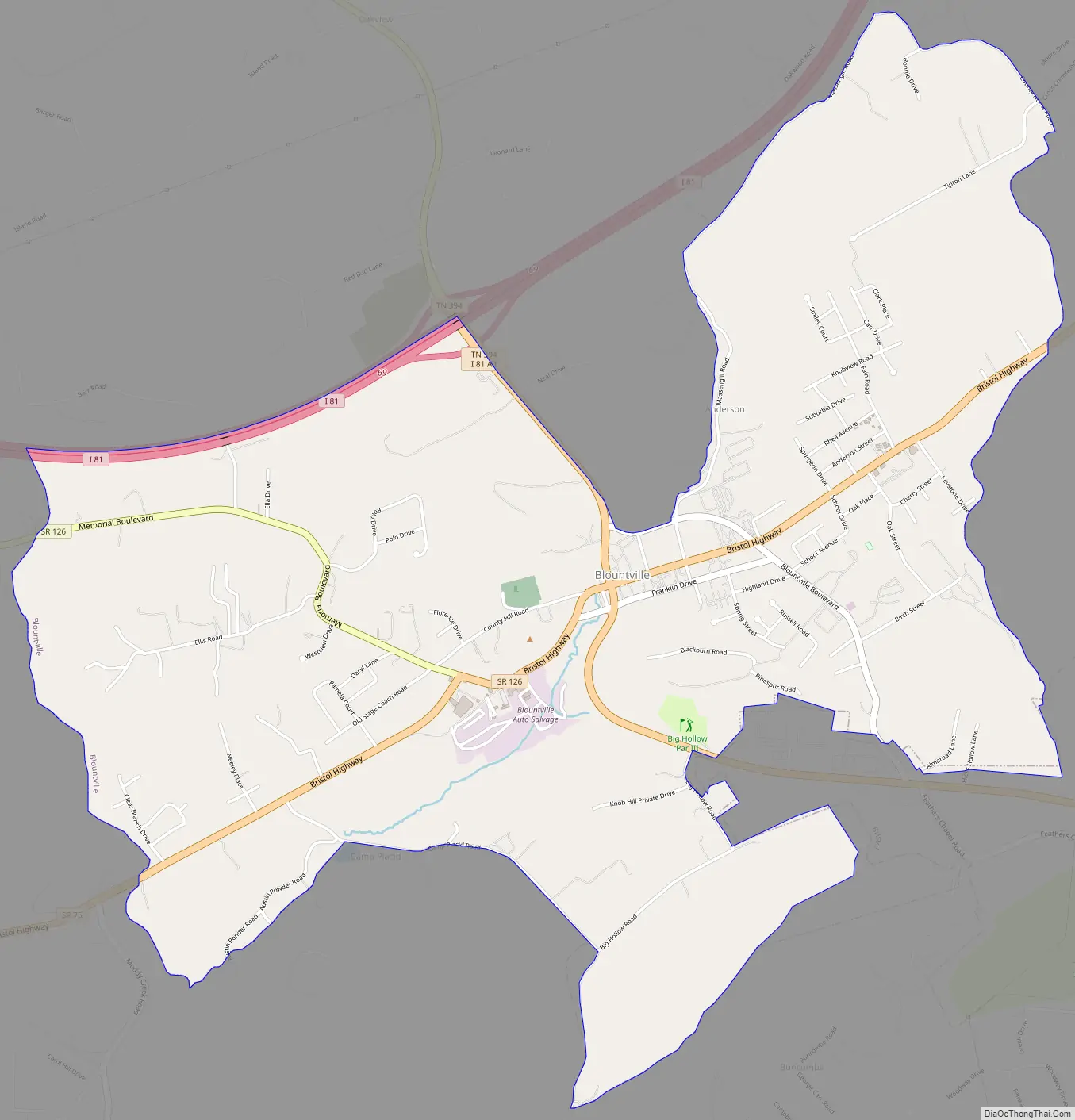
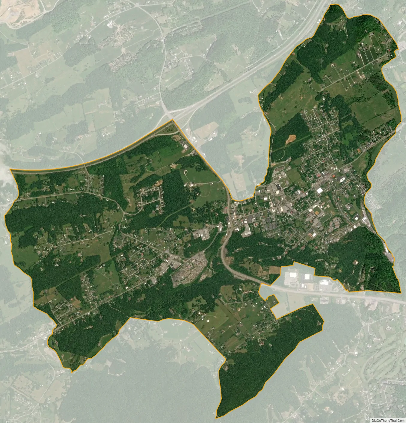
Blountville city Satellite Map
Geography
Blountville is located at 36°32′0″N 82°19′35″W / 36.53333°N 82.32639°W / 36.53333; -82.32639 (36.533312, -82.326474).
According to the United States Census Bureau, the CDP has a total area of 4.9 square miles (13 km), all land.
See also
Map of Tennessee State and its subdivision:- Anderson
- Bedford
- Benton
- Bledsoe
- Blount
- Bradley
- Campbell
- Cannon
- Carroll
- Carter
- Cheatham
- Chester
- Claiborne
- Clay
- Cocke
- Coffee
- Crockett
- Cumberland
- Davidson
- Decatur
- DeKalb
- Dickson
- Dyer
- Fayette
- Fentress
- Franklin
- Gibson
- Giles
- Grainger
- Greene
- Grundy
- Hamblen
- Hamilton
- Hancock
- Hardeman
- Hardin
- Hawkins
- Haywood
- Henderson
- Henry
- Hickman
- Houston
- Humphreys
- Jackson
- Jefferson
- Johnson
- Knox
- Lake
- Lauderdale
- Lawrence
- Lewis
- Lincoln
- Loudon
- Macon
- Madison
- Marion
- Marshall
- Maury
- McMinn
- McNairy
- Meigs
- Monroe
- Montgomery
- Moore
- Morgan
- Obion
- Overton
- Perry
- Pickett
- Polk
- Putnam
- Rhea
- Roane
- Robertson
- Rutherford
- Scott
- Sequatchie
- Sevier
- Shelby
- Smith
- Stewart
- Sullivan
- Sumner
- Tipton
- Trousdale
- Unicoi
- Union
- Van Buren
- Warren
- Washington
- Wayne
- Weakley
- White
- Williamson
- Wilson
- Alabama
- Alaska
- Arizona
- Arkansas
- California
- Colorado
- Connecticut
- Delaware
- District of Columbia
- Florida
- Georgia
- Hawaii
- Idaho
- Illinois
- Indiana
- Iowa
- Kansas
- Kentucky
- Louisiana
- Maine
- Maryland
- Massachusetts
- Michigan
- Minnesota
- Mississippi
- Missouri
- Montana
- Nebraska
- Nevada
- New Hampshire
- New Jersey
- New Mexico
- New York
- North Carolina
- North Dakota
- Ohio
- Oklahoma
- Oregon
- Pennsylvania
- Rhode Island
- South Carolina
- South Dakota
- Tennessee
- Texas
- Utah
- Vermont
- Virginia
- Washington
- West Virginia
- Wisconsin
- Wyoming