Carroll County is a county located in the U.S. state of Indiana. As of the 2010 United States Census, the population was 20,155. The county seat is Delphi.
Carroll County is part of the Lafayette, Indiana, Metropolitan Statistical Area.
| Name: | Carroll County |
|---|---|
| FIPS code: | 18-015 |
| State: | Indiana |
| Founded: | 17 January 1828 (authorized) 28 April 1828 (organized) |
| Named for: | Charles Carroll of Carrollton |
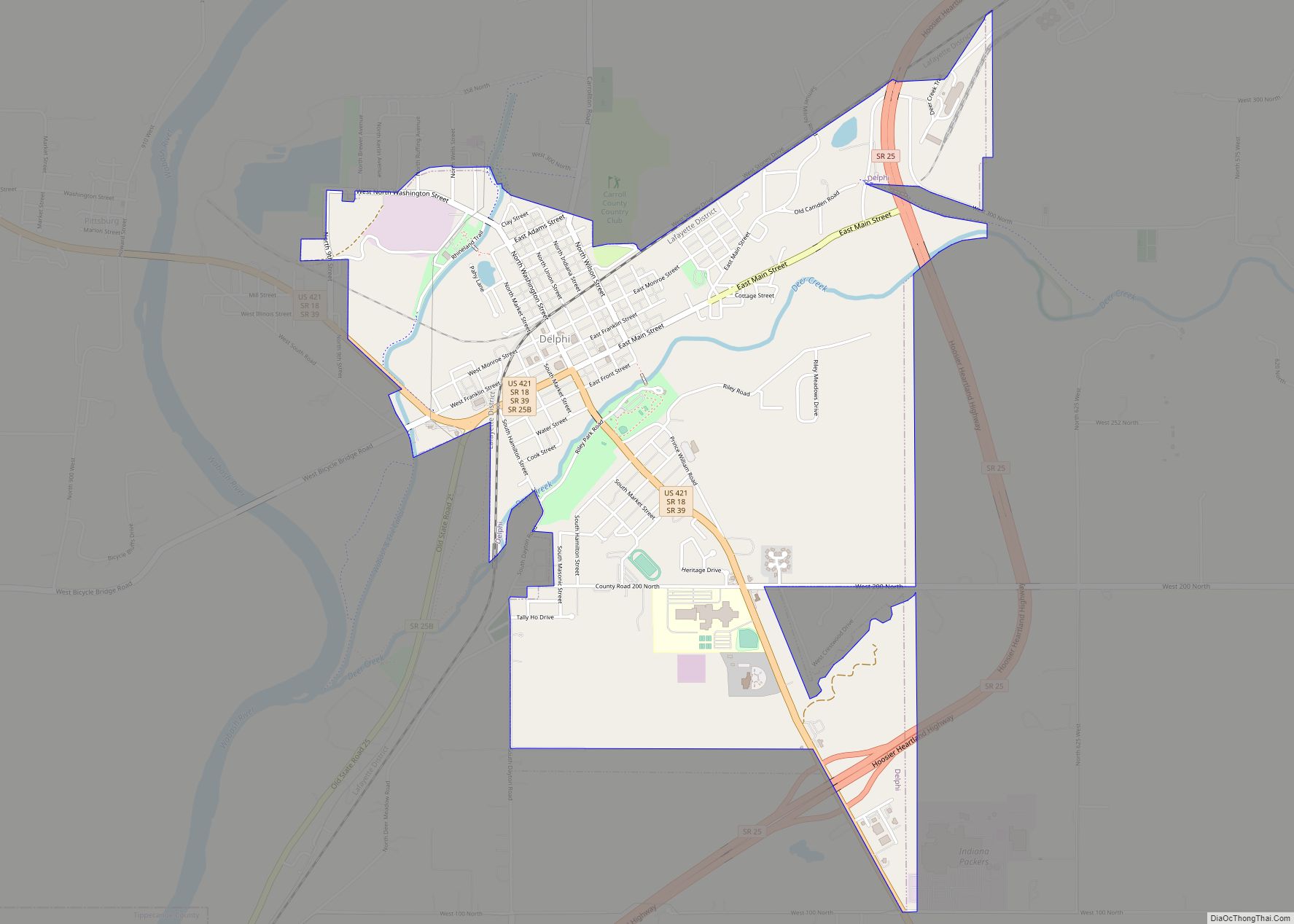
| Seat: | Delphi |
| Largest city: | Delphi |
| Total Area: | 375.02 sq mi (971.3 km²) |
| Land Area: | 372.22 sq mi (964.0 km²) |
| Population Density: | 54.1/sq mi (20.9/km²) |
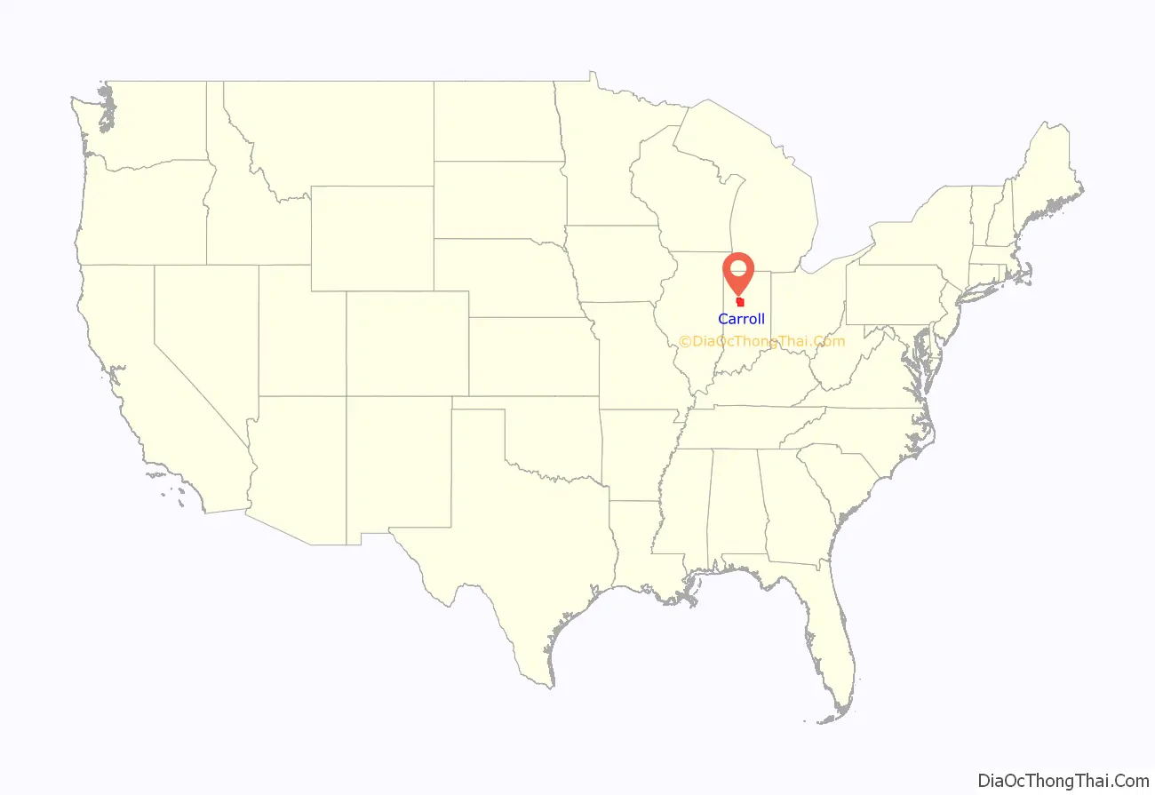
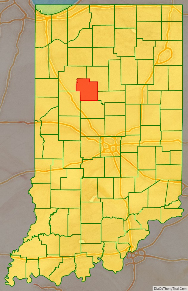
Carroll County location map. Where is Carroll County?
History
In 1787, the fledgling United States defined the Northwest Territory, which included the area of present-day Indiana. In 1800, Congress separated Ohio from the Northwest Territory, designating the rest of the land as the Indiana Territory. President Thomas Jefferson chose William Henry Harrison as the territory’s first governor, and Vincennes was established as the territorial capital. After the Michigan Territory was separated and the Illinois Territory was formed, Indiana was reduced to its current size and geography. By December 1816 the Indiana Territory was admitted to the Union as a state.
Starting in 1794, Native American titles to Indiana lands were extinguished by usurpation, purchase, or war and treaty. The United States acquired land from the Native Americans in the treaty of St. Mary’s in 1818, which included most of the future county, and in 1826 the Treaty of Mississinewas made more area available for settlement. These two treaties resolved the occupation issue for the future Carroll County.
Whites had been living in the future Carroll County area since 1824 and their numbers increased rapidly in the next few years. Accordingly, Carroll County was authorized by the state legislature on 17 January 1828; it was named for Charles Carroll, the last surviving signer of the Declaration of Independence, who died in 1832. The first commissioners began organizing the county government on 28 April of that year, and determined to site the county seat at land donated by William Wilson. The name ‘Carrollton’ was first suggested for the new community, but at the suggestion of General Samuel Milroy, ‘Delphi’ was selected instead.
The Wabash and Erie Canal, built through the county in 1840 and operating until the early 1870s, is among the county’s most significant historical legacies.
Courthouse
The first county courthouse was built in 1831. It was replaced by a brick structure in 1856. The 730-pound bell from the first courthouse was made in Cincinnati in 1836 and given by Sheriff Samuel Davis Gresham, and was used in the second courthouse until 1916. While the bell was in transit to Lafayette by boat, the boat sank. The bell was recovered from the Ohio River, and was sold, but was returned to Carroll County in 1967.
The current Carroll County courthouse was designed by Jaxson Cowell of Indianapolis, who also designed the Spencer County courthouse. It was constructed by A. E. Kemmer at a cost of about $250,000 from 1916 to 1917. The exterior is understated, but the interior is surprisingly elaborate, including a stained glass dome over a mosaic tile floor.
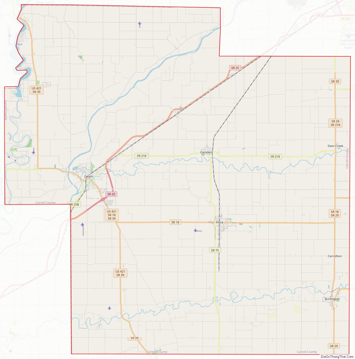
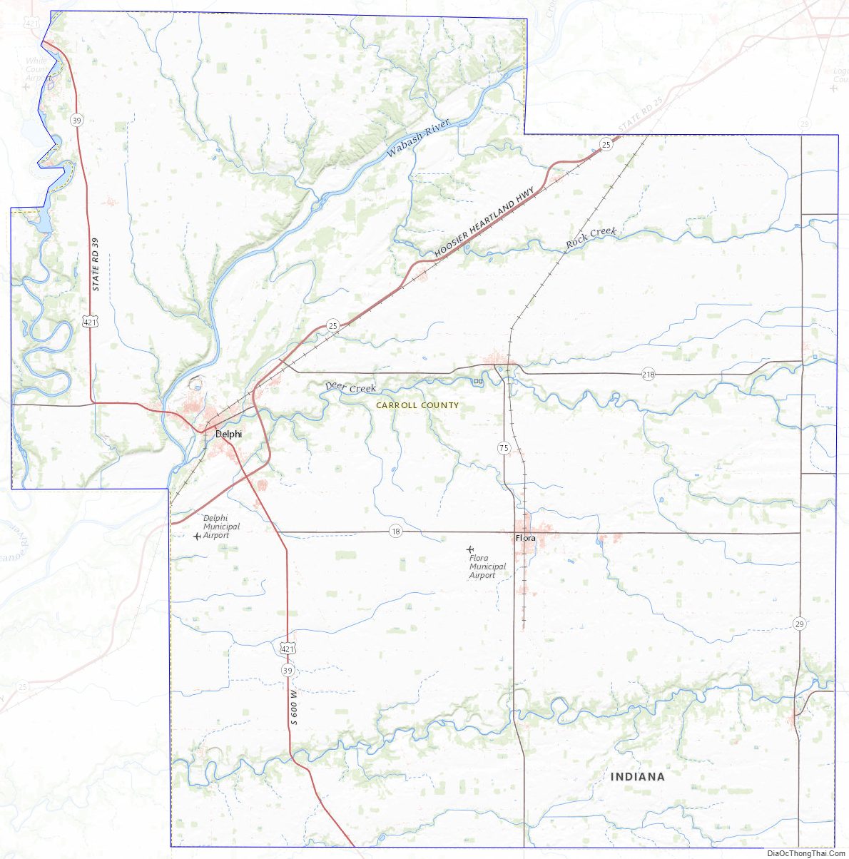
Carroll County Road Map
Geography
The Wabash River flows southwestward from Cass County through the upper part of Carroll County, exiting into Tippecanoe County. The Tippecanoe River flows southward through the county’s upper west edge, also exiting into Tippecanoe County, where it merges with the Wabash shortly after leaving Carroll County’s border. Wildcat Creek drains the south part of Carroll County, flowing westward into Tippecanoe to merge with the Wabash there.
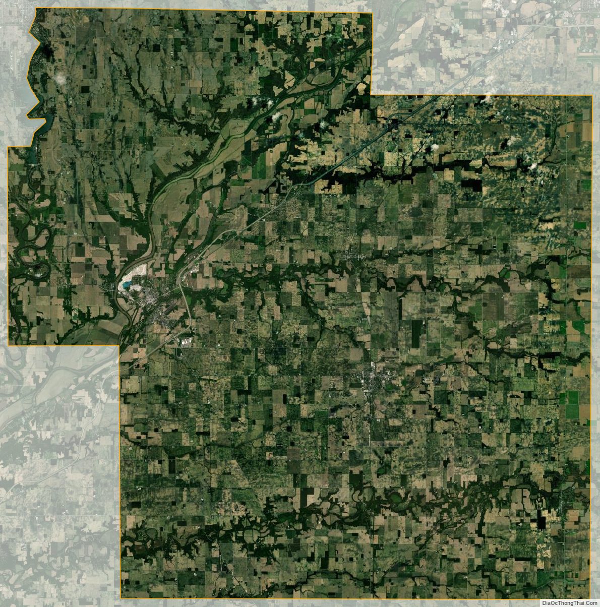
The terrain of Carroll County was heavily wooded at the start, but now the flat areas are cleared and devoted to agriculture or urban development, with only the drainage areas still wooded. The highest point on the terrain (830 feet/250 meters ASL) is the county’s SE corner.
According to the 2010 census, the county has a total area of 375.02 square miles (971.3 km), of which 372.22 square miles (964.0 km) (or 99.25%) is land and 2.80 square miles (7.3 km) (or 0.75%) is water.
Adjacent counties
- Cass County − northeast
- Howard County − east
- Clinton County − south
- Tippecanoe County − southwest
- White County − northwest
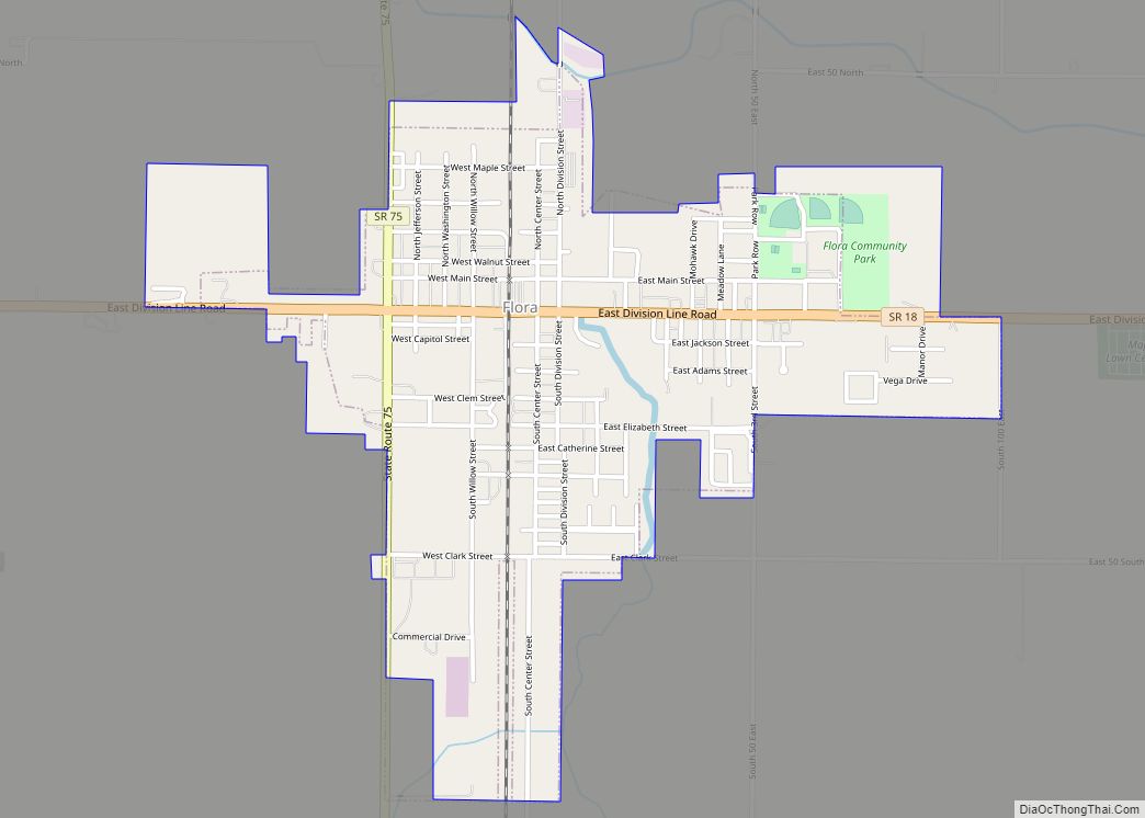
City
- Delphi (county seat)
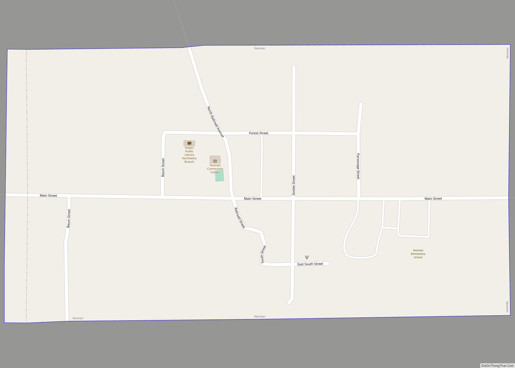
Towns
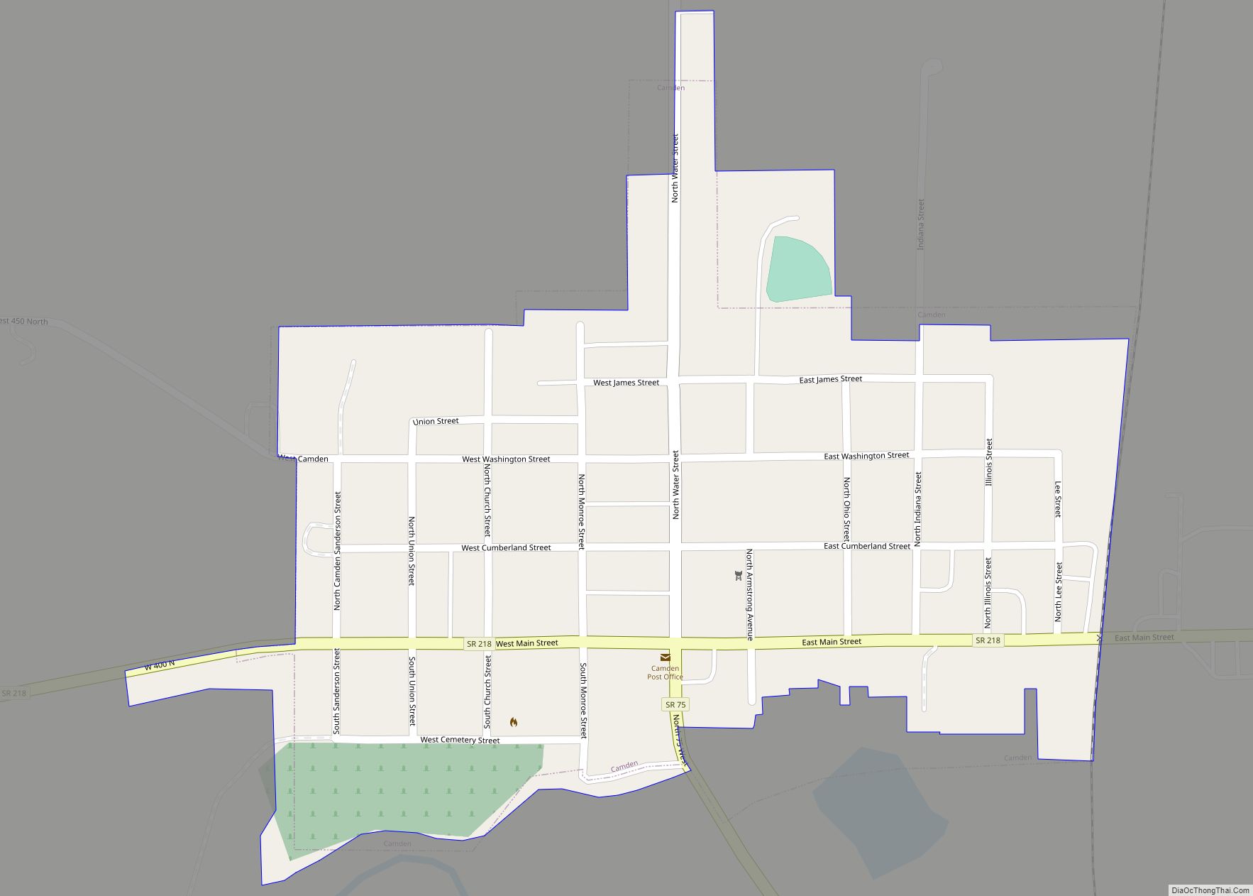
Unincorporated communities
- Adams Mill
- Bringhurst
- Burrows
- Carrollton
- Cutler
- Deer Creek
- Lexington
- Lockport
- Ockley
- Owasco
- Patton
- Pittsburg
- Prince William
- Pyrmont
- Radnor
- Rockfield
- Sharon
- Sleeth
- Terrace Bay
- Wheeling
Townships
- Adams
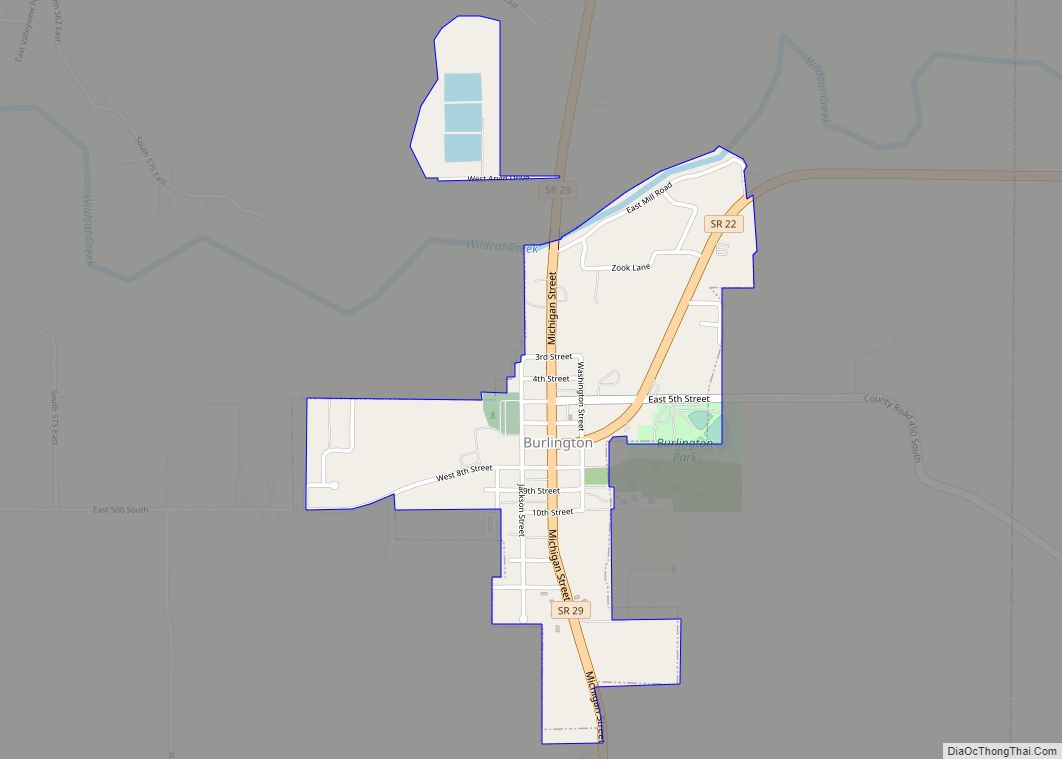
- Burlington
- Carrollton
- Clay
- Deer Creek
- Democrat
- Jackson
- Jefferson
- Liberty
- Madison
- Monroe
- Rock Creek
- Tippecanoe
- Washington
Major highways
- U.S. Route 421
- Indiana State Road 18
- Indiana State Road 22
- Indiana State Road 25
- Indiana State Road 29
- Indiana State Road 39
- Indiana State Road 75
- Indiana State Road 218
Railroads
- Norfolk Southern Railway
- Winamac Southern Railway
Carroll County Topographic Map
Carroll County Satellite Map
Carroll County Outline Map