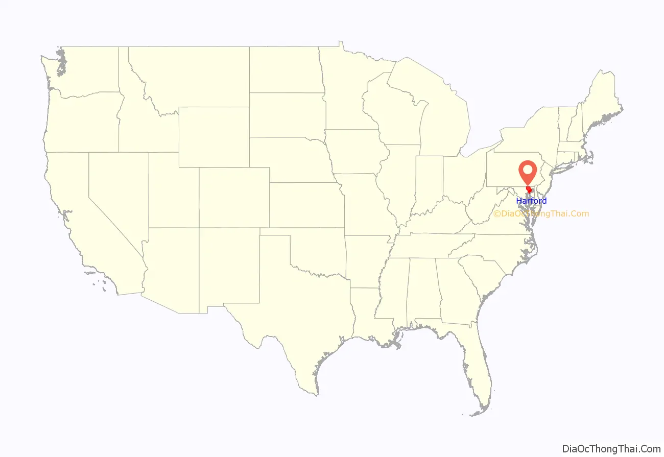
Harford County is located in the U.S. state of Maryland. As of the 2020 census, the population was 260,924. Its county seat is Bel Air. Harford County is included in the Baltimore-Columbia-Towson, MD Metropolitan Statistical Area, which is also included in the Washington-Baltimore-Arlington, DC-MD-VA-WV-PA Combined Statistical Area.
| Name: | Harford County |
|---|---|
| FIPS code: | 24-025 |
| State: | Maryland |
| Founded: | December 17, 1773 |
| Named for: | Henry Harford |
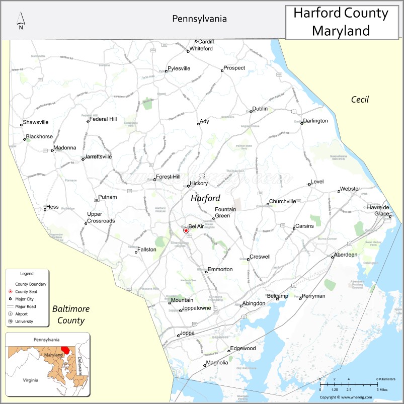
| Seat: | Bel Air |
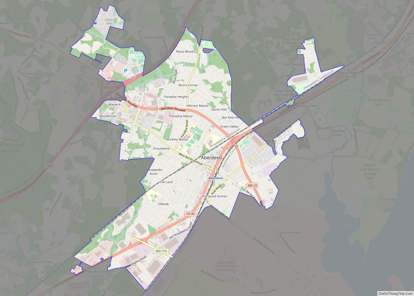
| Largest city: | Aberdeen |
| Total Area: | 527 sq mi (1,360 km²) |
| Land Area: | 437 sq mi (1,130 km²) |
| Total Population: | 260,924 |
| Population Density: | 597.08/sq mi (230.53/km²) |
| Time zone: | UTC−5 (Eastern) |
| Summer Time Zone (DST): | UTC−4 (EDT) |
| Website: | www.harfordcountymd.gov |
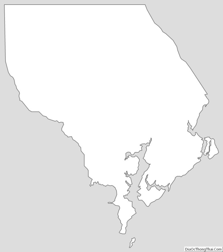
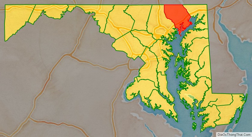
Harford County location map. Where is Harford County?
History
In 1608 the area was settled by Massawomecks and Susquehannocks. The first European to see the area was John Smith in 1608 when he traveled up the Chesapeake Bay from Jamestown. In 1652, the English and Susquehannocks signed a treaty at what is now Annapolis for the area now called Harford County.
Harford County was formed on March 22, 1774, from the eastern part of Baltimore County with a population of 13,000 people. On March 22, 1775, Harford County hosted the signers of the Bush Declaration, a precursor document to the American Revolution. On January 22, 1782, Bel Air became the county seat.
Havre de Grace, a city incorporated in 1785 within Harford County, was once under consideration to be the capital of the United States rather than Washington, D.C. It was favored for its strategic location at the top of the Chesapeake Bay; this location would facilitate trade while being secure in time of war. Today, the waterways around Havre de Grace have become adversely affected by silt runoff, which is one of the primary environmental issues of Harford County. While today the site is a Maryland National Guard military reservation, the land was used as the Havre de Grace Racetrack where racehorse Man o’ War ran in 1919 and 1920.
During the 1900s the Bata Shoe Company employed numerous Eastern European refugees at the Belcamp factory. In the 1940s the Susquehanna River tributary Broad Creek was dammed to form the 55 acres (0.22 km) at what is now the Broad Creek Memorial Scout Reservation. In June 1972 Hurricane Agnes overflowed the dam and flooded areas in many states. On the County Health Rankings & Roadmaps by the Robert Wood Johnson Foundation with the University of Wisconsin Population Health Institute, “prior to the 2016 report … Harford’s yearly rankings typically fell between ninth and 10th place, primarily because of the percentage of county residents who were obese or who smoked.” Scenes from Tuck Everlasting, From Within, and House of Cards were all filmed in Harford County.
In 2011 the Office of National Drug Control Policy deemed Harford County a designated High Intensity Drug Trafficking Area.
The county was named for Henry Harford (ca. 1759–1834), the illegitimate son of Frederick Calvert, 6th Baron Baltimore. Henry Harford was born to Calvert’s mistress, Hester Whelan, whose residence still stands as part of a private residence on Jarretsville Pike, in Phoenix, Maryland. Harford served as the last Proprietary Governor of Maryland but, because of his illegitimacy, did not inherit his father’s title. There are 79 properties and districts listed on the National Register in the county, including one National Historic Landmark called Sion Hill.
Environmental history
Harford County has environmental issues in three major areas: land use, water pollution/urban runoff, and soil contamination/groundwater contamination.
As the county sits at the headwaters of the Chesapeake Bay along the Susquehanna River, it plays a key role in controlling sediment and fertilizer runoff into the bay as well as fostering submerged aquatic vegetation (SAV) regrowth. The county has had to balance the needs of land owners to practice agriculture and/or pave land (creating impervious surfaces) with effects of runoff into the bay.
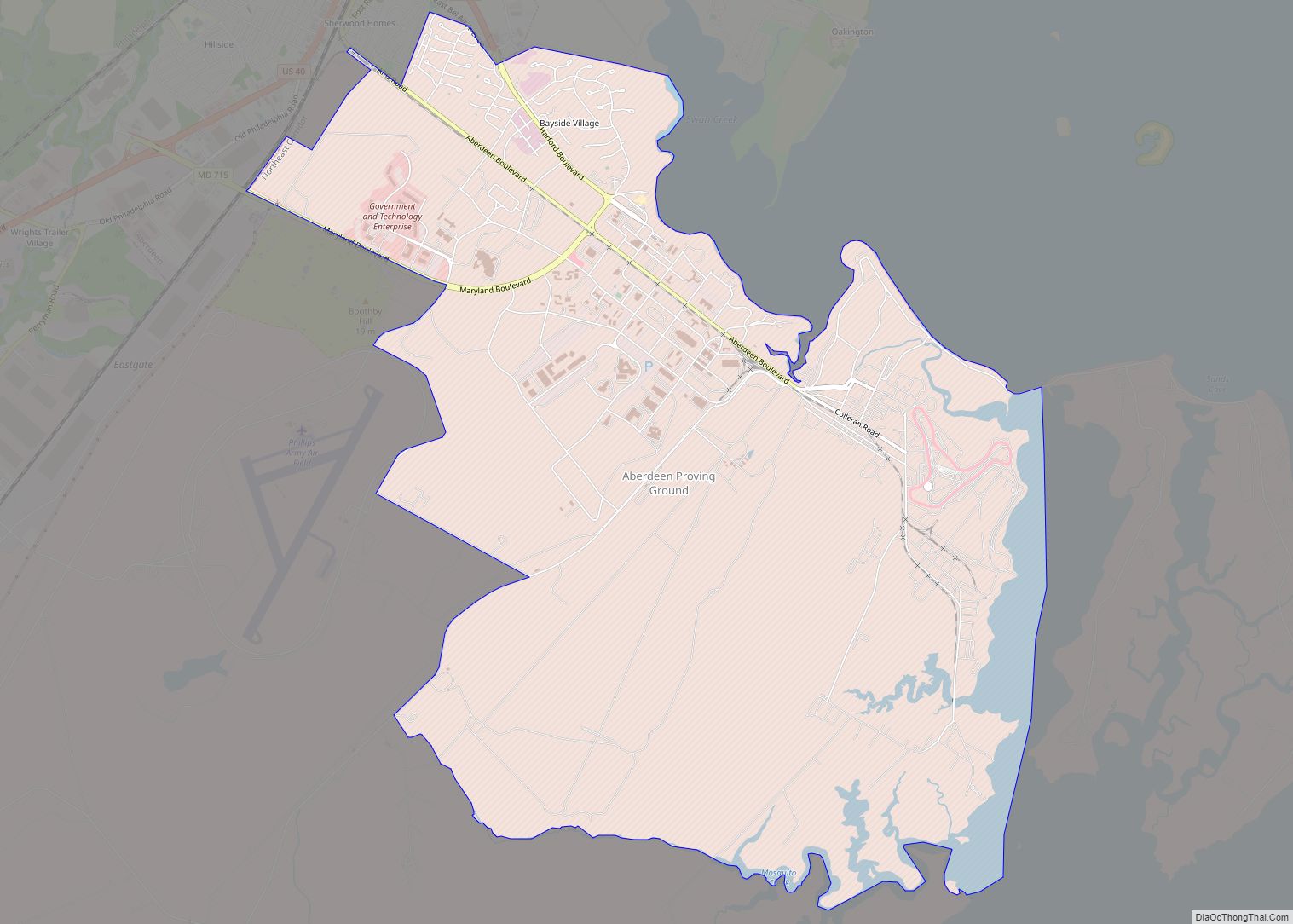
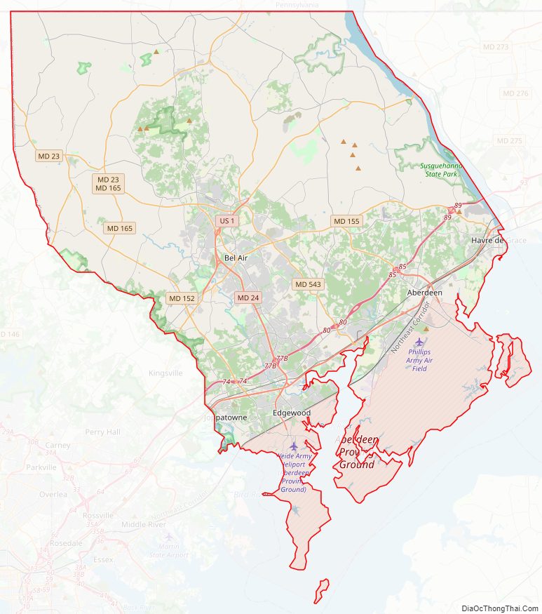
Harford County has been burdened by soil contamination and groundwater contamination since the creation of the Aberdeen Proving Ground in 1917. The military installation performs research for the U.S. Army, including weapons testing, and has released various chemical agents into soil and groundwater, including mustard gas and perchlorate. The bordering towns of Aberdeen, Edgewood and Joppatowne have been affected by this contamination.
Aberdeen Proving Ground contains three Superfund priority sites as of 2006. Groundwater contamination by MTBE, a mandatory gasoline additive, has also affected Fallston.
Harford County also faces controversy from residents living near Scarboro Landfill and Harford Waste Disposal Center, the only municipal landfill. The landfill, approved to triple in size in 2007, is the subject of complaints by neighbors of operating violations, such as large areas of open trash and blown litter; leachate breaks which contaminate area residential wells and flow into Deer Creek, a tributary of the Susquehanna River; and increased health problems.
Harford County Road Map
Geography
According to the U.S. Census Bureau, the county has a total area of 527 square miles (1,360 km), of which 437 square miles (1,130 km) is land and 90 square miles (230 km) (17%) is water.
Harford County straddles the border between the rolling hills of the Piedmont Plateau and the flatlands of the Atlantic Coastal Plain along the Chesapeake Bay and its tributaries. The county’s development is a mix of rural and suburban, with denser development in the larger towns of Aberdeen and Bel Air and along Route 40 and other major arteries leading out of Baltimore. The highest elevations are in the north and northwest of the county, reaching 805 ft. near the Pennsylvania border in the county’s northwestern corner. The lowest elevation is sea level along the Chesapeake Bay.
Adjacent counties
- York County, Pennsylvania (north)
- Lancaster County, Pennsylvania (northeast)
- Cecil County (east)
- Kent County (south)
- Baltimore County (west)
National protected area
- Susquehanna River National Wildlife Refuge
Communities
- Bel Air (county seat)
- Aldino
- Benson
- Berkley
- Cardiff
- Castleton
- Churchville
- Clayton
- Constant Friendship
- Creswell
- Dublin
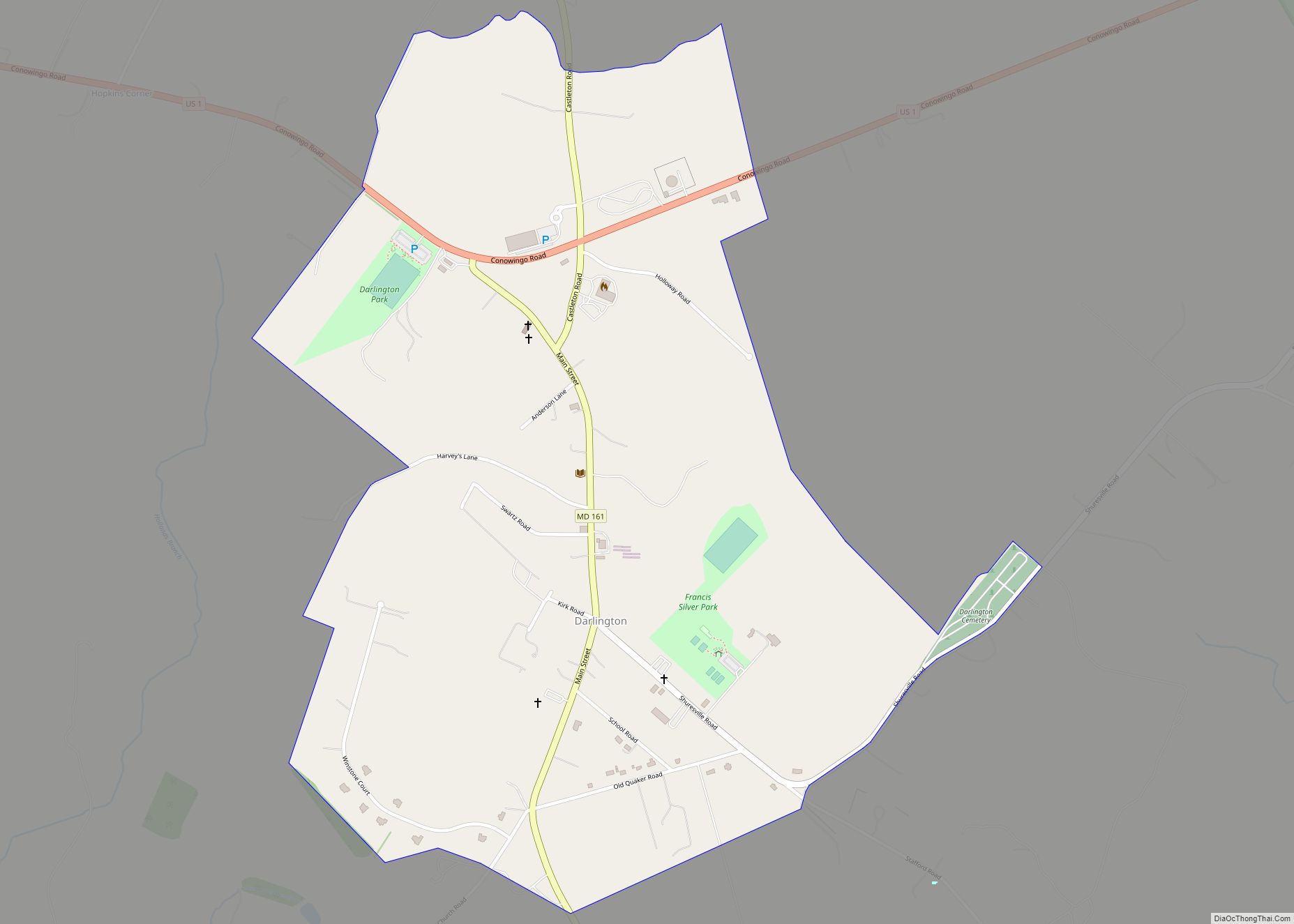
- Darlington
- Emmorton
- Fairview
- Forest Hill
- Fountain Green
- Glenwood
- Hess
- Hickory
- Hopewell Village
- Joppa
- Kalmia
- Level
- Madonna
- Norrisville
- Shawsville
- Street
- Taylor
- Whiteford
- Aberdeen Proving Ground
- Abingdon
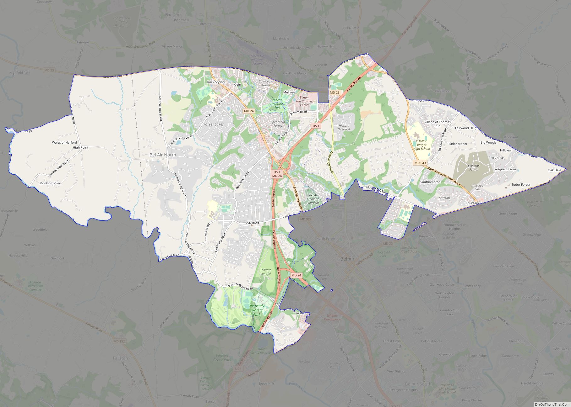
- Bel Air North
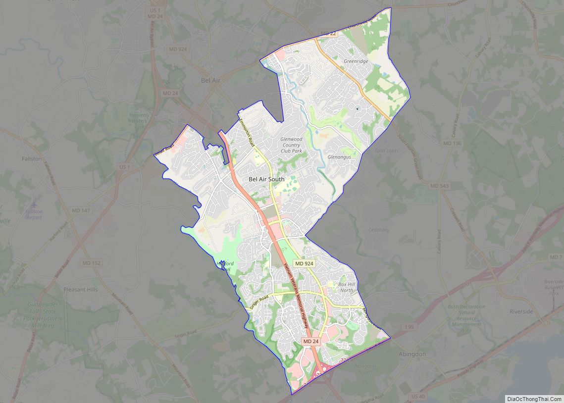
- Bel Air South
- Darlington
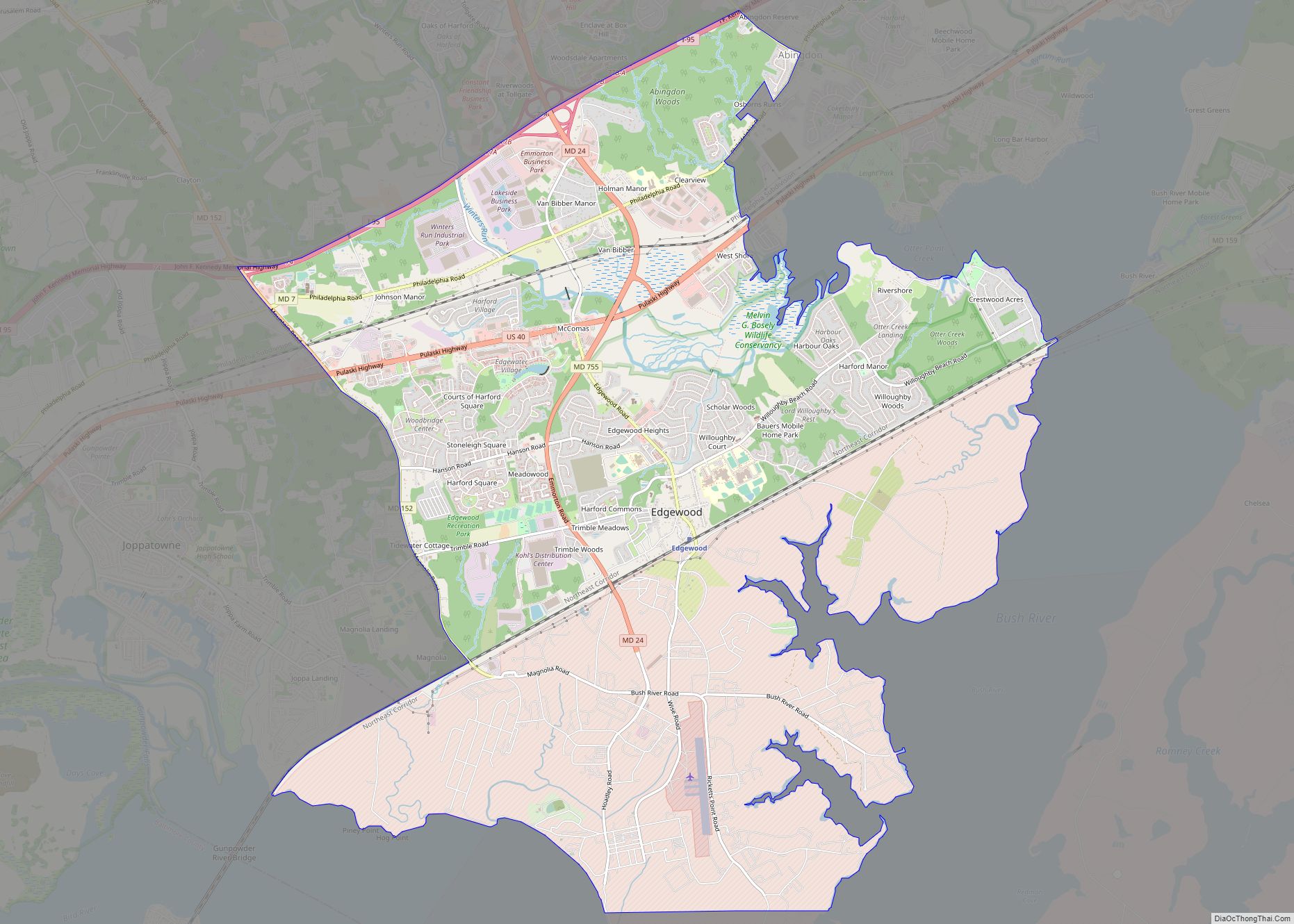
- Edgewood
- Fallston
- Jarrettsville
- Joppatowne
- Perryman
- Pleasant Hills
- Pylesville
- Riverside
- Glenville
Climate
The January freezing isotherm runs across the northern part of the county and divides it into a humid subtropical climate (Cfa) and a hot-summer humid continental climate (Dfa.) Average monthly temperatures in Bel Air range from 32.6 °F in January to 76.6 °F in July, while in Aberdeen they range from 33.5 °F in January to 77,2 °F in July. [1]
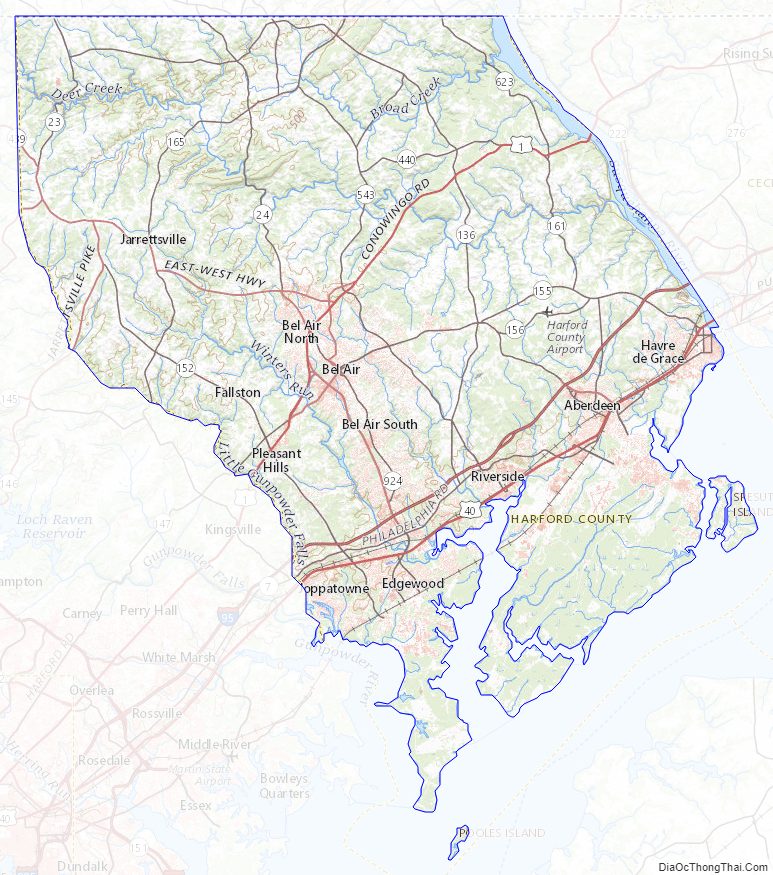
Harford County Topographic Map
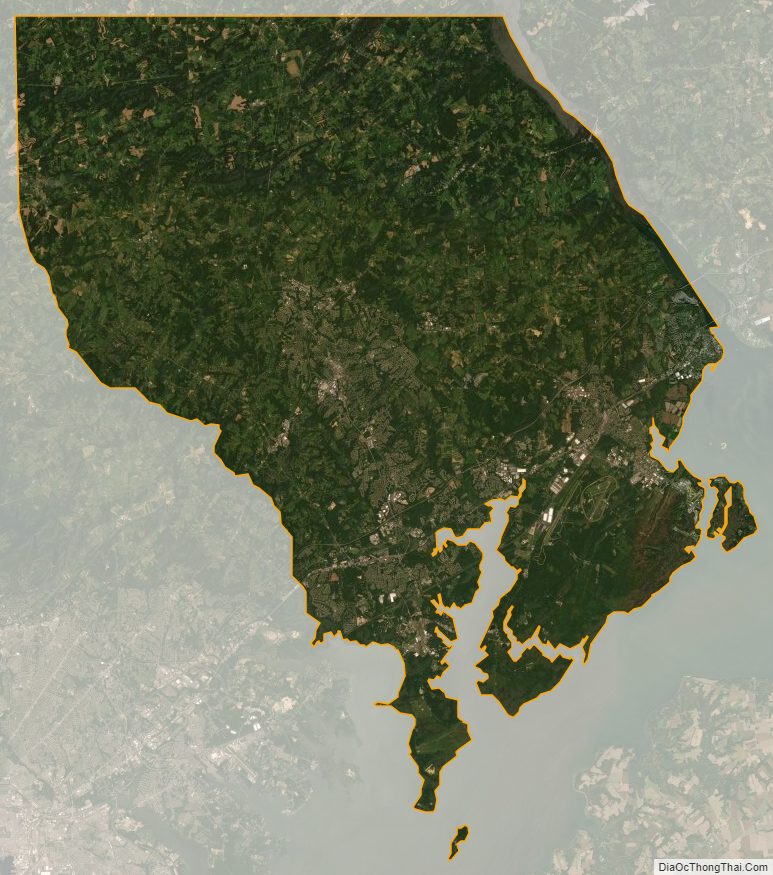
Harford County Satellite Map
Harford County Outline Map