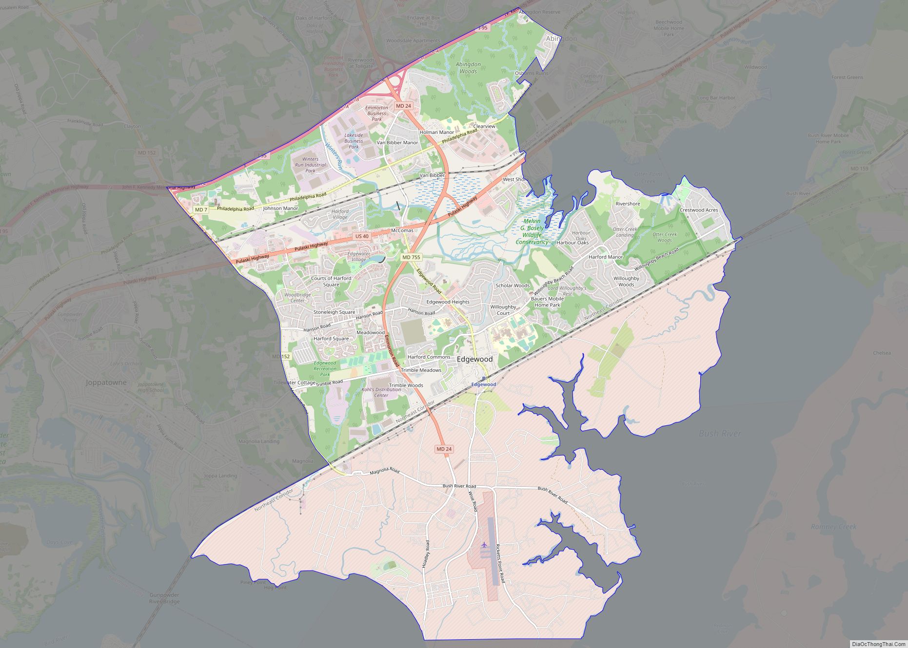
Riverside is a census-designated place (CDP) in Harford County, Maryland, United States. The population was 6,425 at the 2010 census. The term “Riverside” is generally used interchangeably with “Belcamp”; both names are accepted for the U.S. Postal Service’s ZIP Code of 21017. However, the original community of Belcamp is located south of U.S. Route 40, outside the Riverside CDP.
| Name: | Riverside CDP |
|---|---|
| LSAD Code: | 57 |
| LSAD Description: | CDP (suffix) |
| State: | Maryland |
| County: | Harford County |
| Elevation: | 79 ft (24 m) |
| Total Area: | 2.62 sq mi (6.78 km²) |
| Land Area: | 2.61 sq mi (6.77 km²) |
| Water Area: | 0.00 sq mi (0.01 km²) |
| Total Population: | 7,021 |
| Population Density: | 2,686.95/sq mi (1,037.25/km²) |
| ZIP code: | 21017 |
| Area code: | 410 |
| FIPS code: | 2466762 |
| GNISfeature ID: | 1698813 |
Online Interactive Map
Click on ![]() to view map in "full screen" mode.
to view map in "full screen" mode.
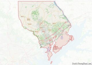
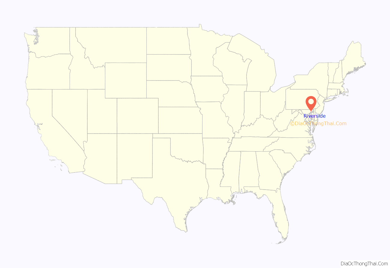
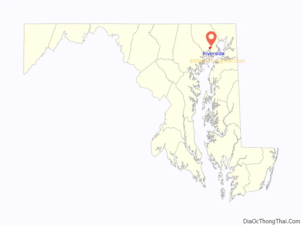
Riverside location map. Where is Riverside CDP?
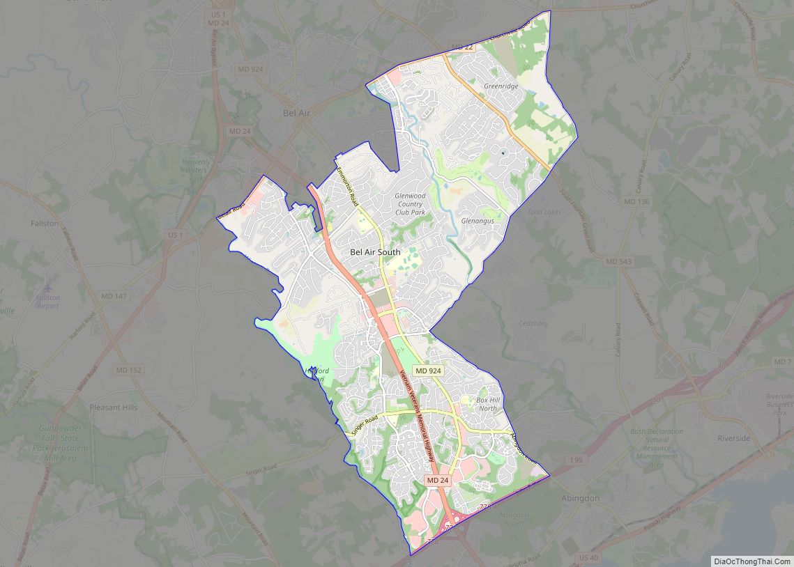
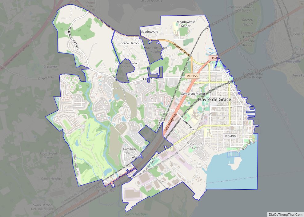
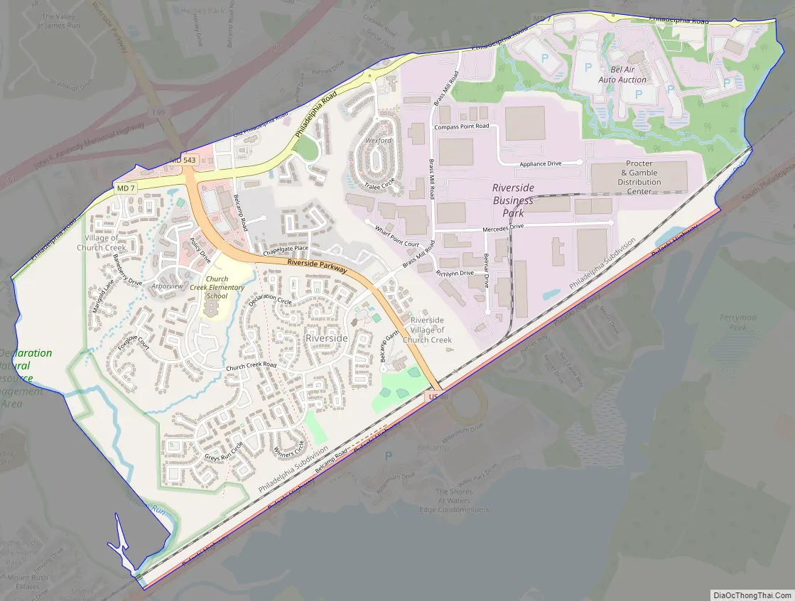
Riverside Road Map
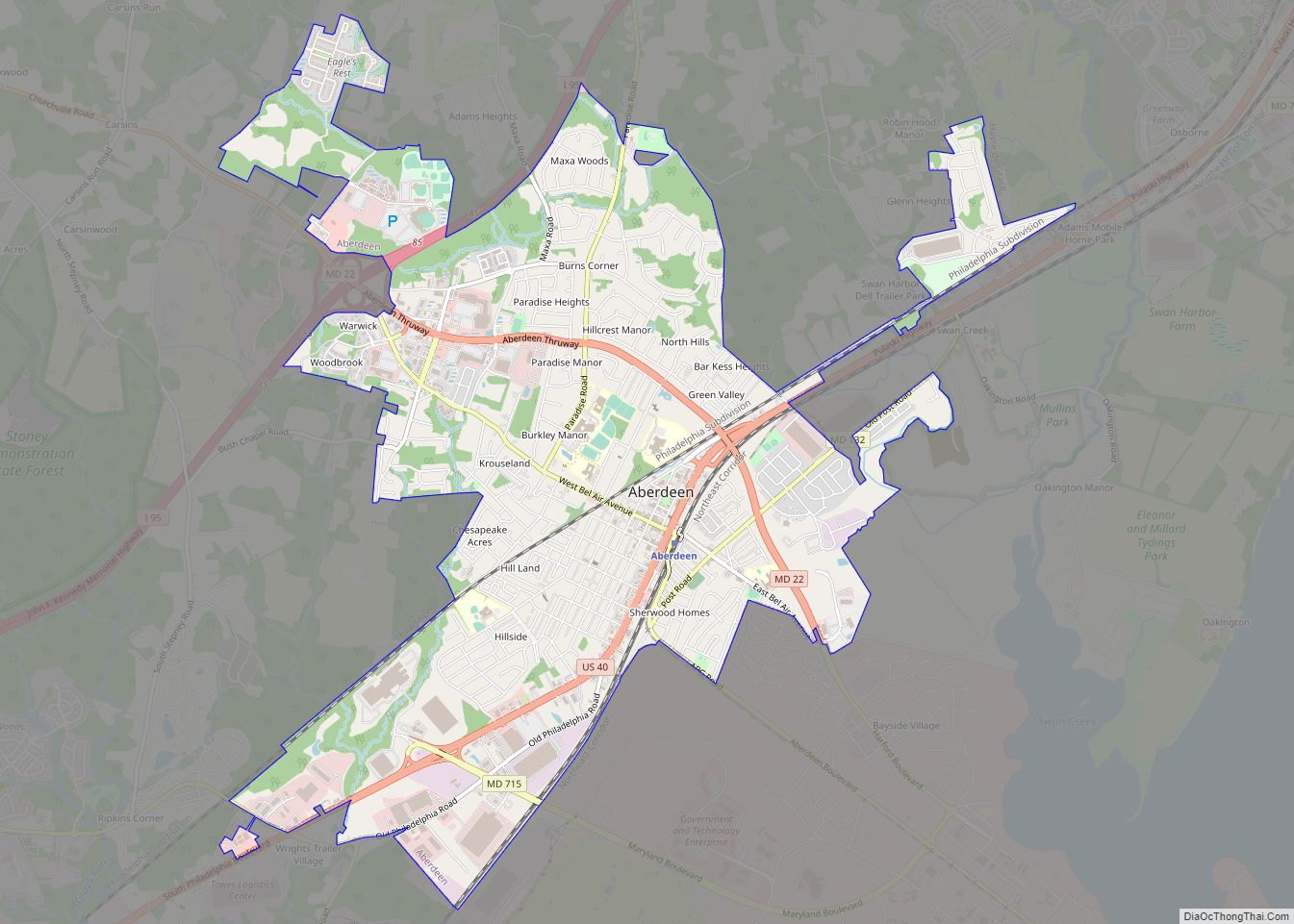
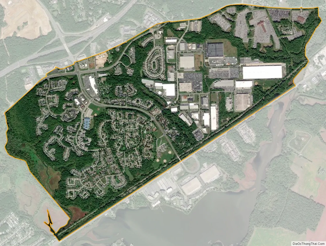
Riverside city Satellite Map
Geography
Riverside is located at 39°28′35″N 76°14′42″W / 39.47639°N 76.24500°W / 39.47639; -76.24500 (39.476385, −76.244943). It is bordered to the north by Maryland Route 7 (Philadelphia Road) and to the south by U.S. Route 40 (Pulaski Highway). It extends west to the Bush River and James Run, and to the east it reaches to Grays Run. Maryland Route 543 (Riverside Parkway) passes through the center of the CDP, crossing Route 7 and ending at US 40. Just north of the CDP, MD 543 crosses Interstate 95 at Exit 80. I-95 leads southwest 30 miles (48 km) to Baltimore and northeast 45 miles (72 km) to Wilmington, Delaware. Bel Air, the Harford County seat, is 8 miles (13 km) northwest of Riverside via MD 543.
According to the United States Census Bureau, the Riverside CDP has a total area of 2.4 square miles (6.1 km), of which 0.01 square miles (0.03 km), or 0.48%, is water.
See also
Map of Maryland State and its subdivision: Map of other states:- Alabama
- Alaska
- Arizona
- Arkansas
- California
- Colorado
- Connecticut
- Delaware
- District of Columbia
- Florida
- Georgia
- Hawaii
- Idaho
- Illinois
- Indiana
- Iowa
- Kansas
- Kentucky
- Louisiana
- Maine
- Maryland
- Massachusetts
- Michigan
- Minnesota
- Mississippi
- Missouri
- Montana
- Nebraska
- Nevada
- New Hampshire
- New Jersey
- New Mexico
- New York
- North Carolina
- North Dakota
- Ohio
- Oklahoma
- Oregon
- Pennsylvania
- Rhode Island
- South Carolina
- South Dakota
- Tennessee
- Texas
- Utah
- Vermont
- Virginia
- Washington
- West Virginia
- Wisconsin
- Wyoming