Perryman is an unincorporated community and census-designated place (CDP) in Harford County, Maryland, United States. The population was 2,342 at the 2010 census.
| Name: | Perryman CDP |
|---|---|
| LSAD Code: | 57 |
| LSAD Description: | CDP (suffix) |
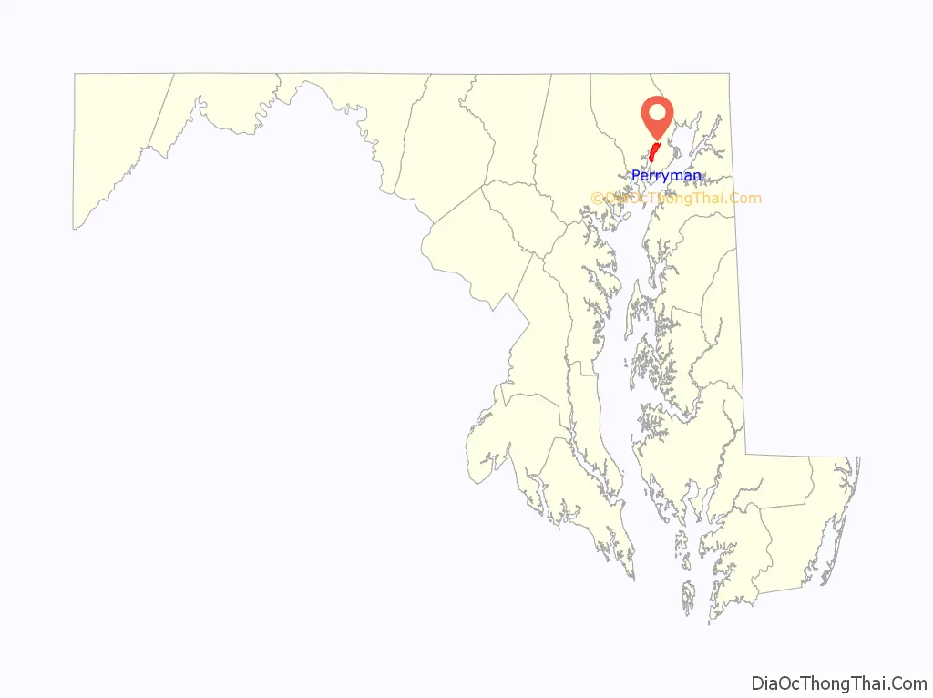
| State: | Maryland |
| County: | Harford County |
| Elevation: | 39 ft (12 m) |
| Total Area: | 5.54 sq mi (14.36 km²) |
| Land Area: | 5.48 sq mi (14.20 km²) |
| Water Area: | 0.06 sq mi (0.16 km²) |
| Total Population: | 2,496 |
| Population Density: | 455.31/sq mi (175.78/km²) |
| ZIP code: | 21130 |
| Area code: | 410 |
| FIPS code: | 2461075 |
| GNISfeature ID: | 0590998 |
Online Interactive Map
Click on ![]() to view map in "full screen" mode.
to view map in "full screen" mode.
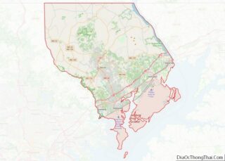
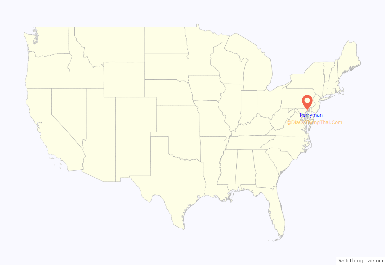
Perryman location map. Where is Perryman CDP?
History
St. George’s Parish Vestry House was listed on the National Register of Historic Places in 1976. Amtrak’s Northeast Corridor high-speed rail line runs through the community; however, Amtrak and MARC trains do not stop as there is no station.
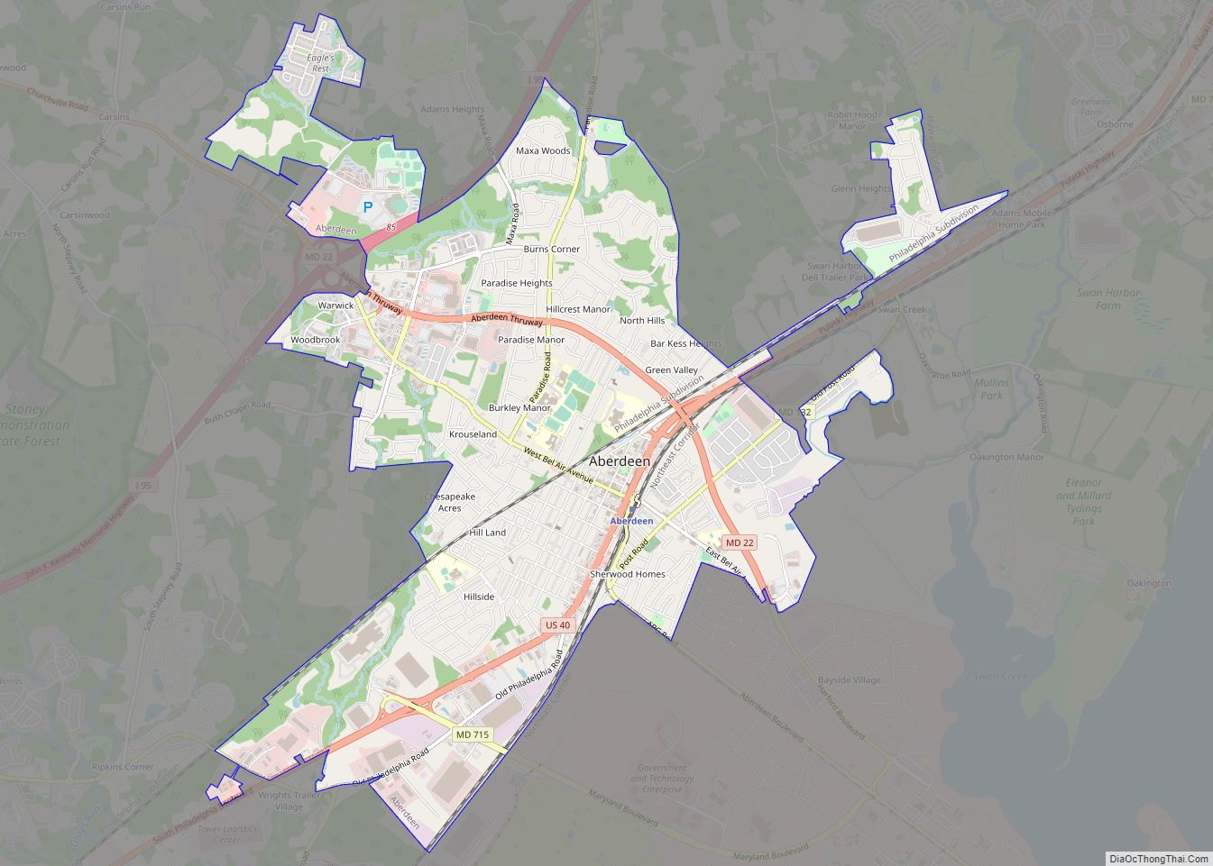
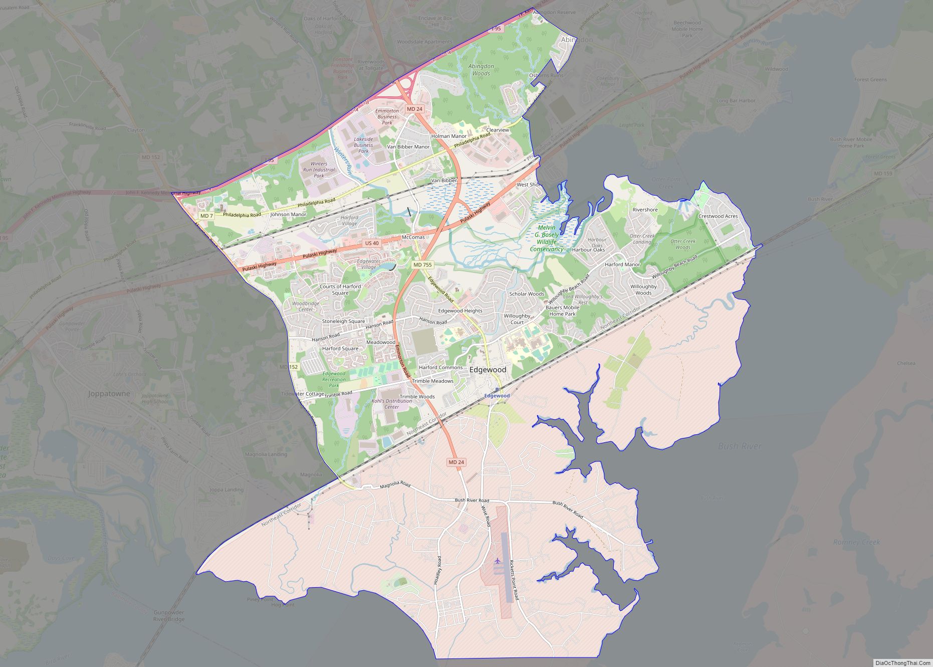
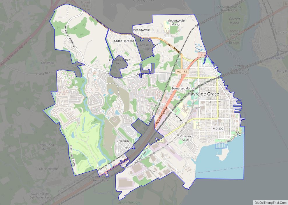
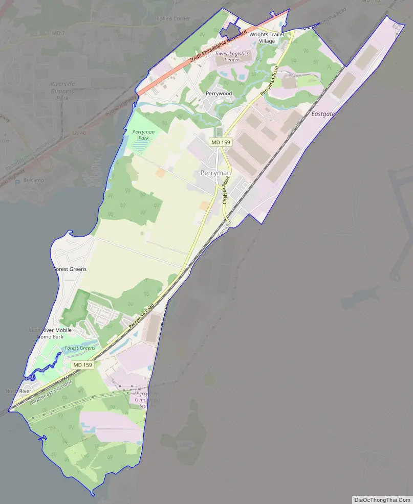
Perryman Road Map
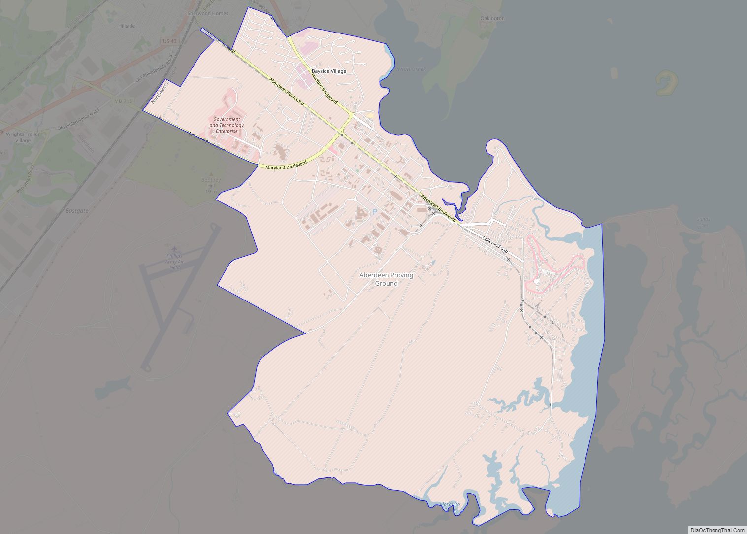
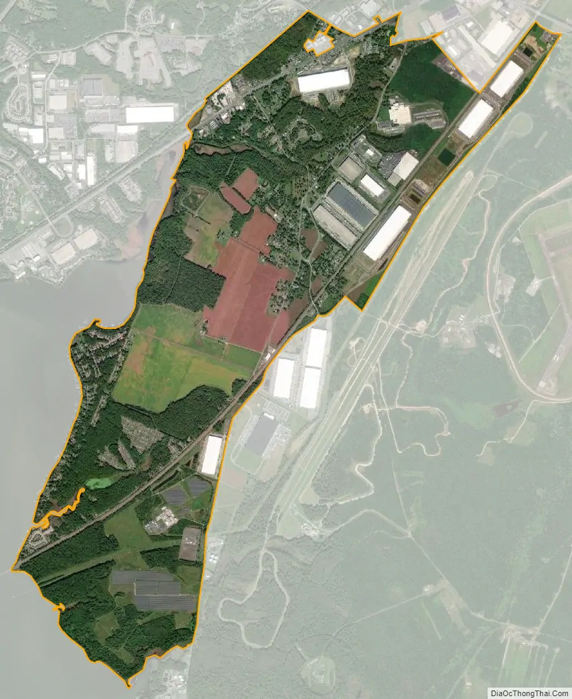
Perryman city Satellite Map
Geography
Perryman is located in southern Harford County at 39°28′7″N 76°12′47″W / 39.46861°N 76.21306°W / 39.46861; -76.21306 (39.468509, −76.213090). It is bordered to the west by Church Creek and the Bush River, an arm of Chesapeake Bay; to the south by Sod Run, an inlet of the Bush River; to the east by Chelsea Road and Aberdeen Proving Ground; and to the north by the city of Aberdeen. The community of Riverside touches the northwest side of Perryman.
U.S. Route 40 (Pulaski Highway) runs through the northern part of Perryman, leading northeast 23 miles (37 km) to Elkton and southwest 27 miles (43 km) to downtown Baltimore.
According to the United States Census Bureau, the Perryman CDP has a total area of 5.6 square miles (14.5 km), of which 5.5 square miles (14.3 km) is land and 0.1 square miles (0.2 km), or 1.08%, are water.
Climate
The climate in this area is characterized by hot, humid summers and generally mild to cool winters. According to the Köppen Climate Classification system, Perryman has a humid subtropical climate, abbreviated “Cfa” on climate maps.
See also
Map of Maryland State and its subdivision: Map of other states:- Alabama
- Alaska
- Arizona
- Arkansas
- California
- Colorado
- Connecticut
- Delaware
- District of Columbia
- Florida
- Georgia
- Hawaii
- Idaho
- Illinois
- Indiana
- Iowa
- Kansas
- Kentucky
- Louisiana
- Maine
- Maryland
- Massachusetts
- Michigan
- Minnesota
- Mississippi
- Missouri
- Montana
- Nebraska
- Nevada
- New Hampshire
- New Jersey
- New Mexico
- New York
- North Carolina
- North Dakota
- Ohio
- Oklahoma
- Oregon
- Pennsylvania
- Rhode Island
- South Carolina
- South Dakota
- Tennessee
- Texas
- Utah
- Vermont
- Virginia
- Washington
- West Virginia
- Wisconsin
- Wyoming