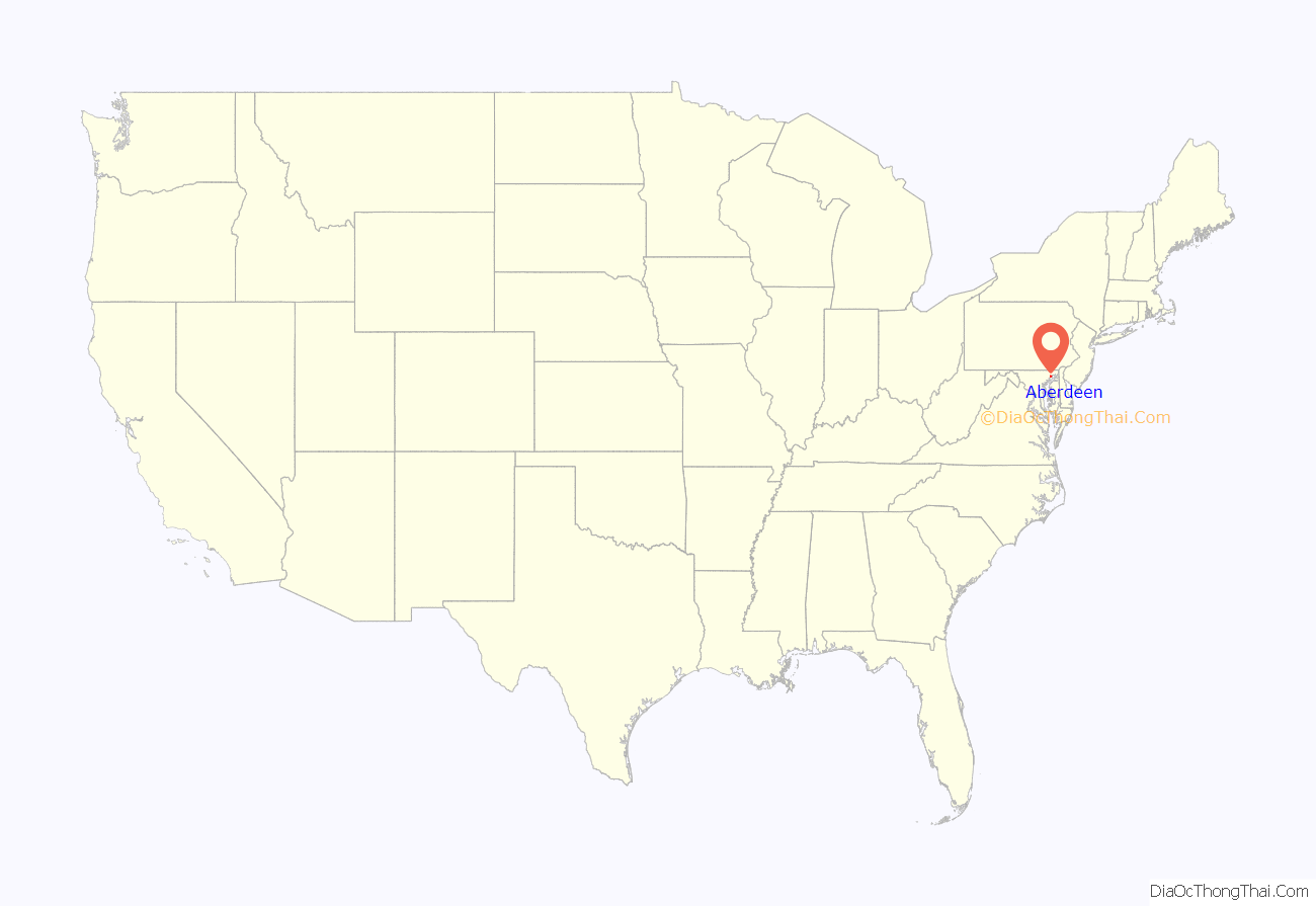
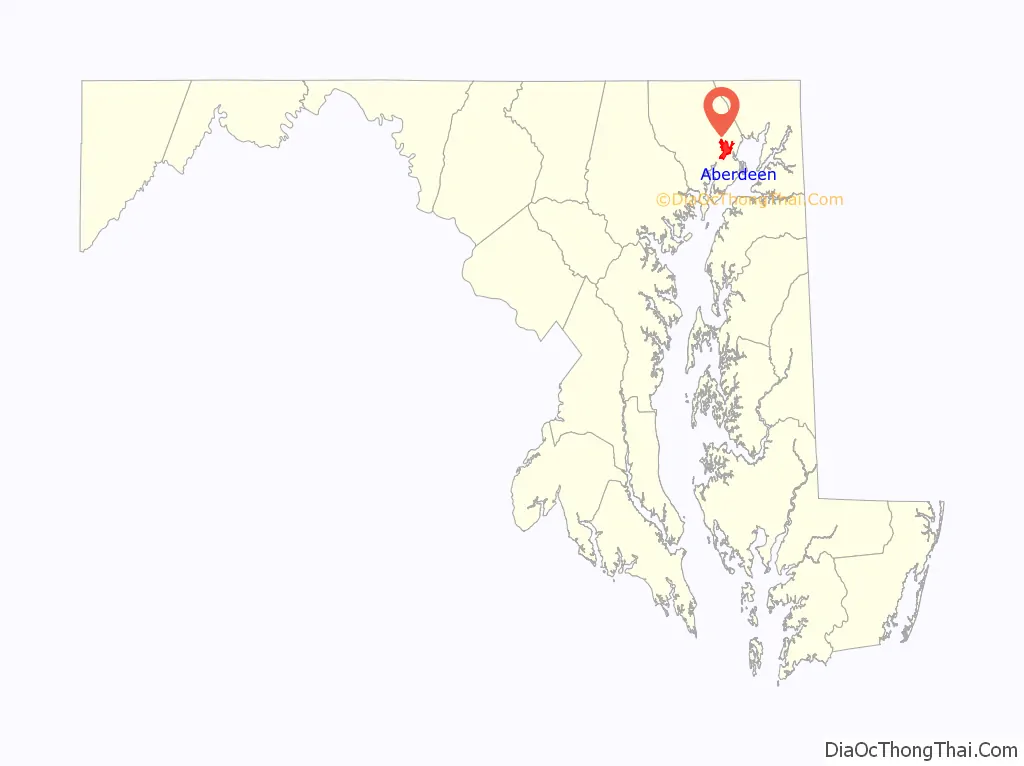
Aberdeen is a city located in Harford County, Maryland, United States, 26 miles (42 km) northeast of Baltimore. The population was 16,254 at the 2020 United States Census. Aberdeen is the largest municipality in Harford County.
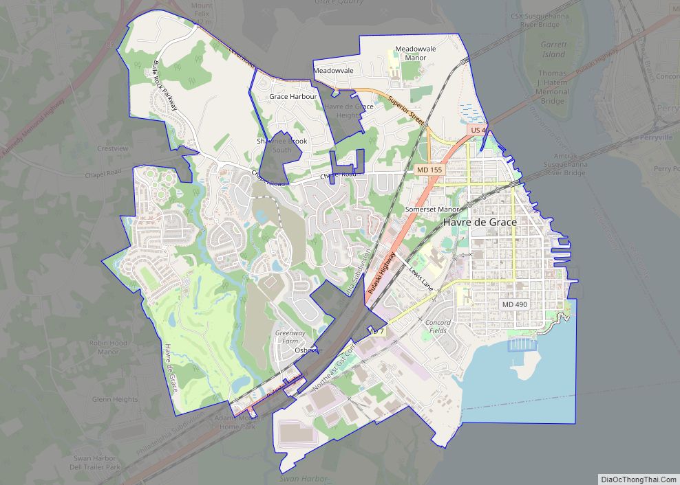
Aberdeen is part of the Baltimore-Towson Metropolitan Statistical Area (MSA), which is the 20th-largest United States metropolitan area. The nearest city to Aberdeen is Havre de Grace, 4.8 miles (7.7 km) to the northeast.
| Name: | Aberdeen city |
|---|---|
| LSAD Code: | 25 |
| LSAD Description: | city (suffix) |
| State: | Maryland |
| County: | Harford County |
| Incorporated: | 1892 |
| Elevation: | 95 ft (29 m) |
| Total Area: | 6.60 sq mi (17.10 km²) |
| Land Area: | 6.59 sq mi (17.08 km²) |
| Water Area: | 0.01 sq mi (0.02 km²) |
| Total Population: | 16,254 |
| Population Density: | 2,464.59/sq mi (951.62/km²) |
| ZIP code: | 21001 |
| Area code: | 410 |
| FIPS code: | 2400125 |
| GNISfeature ID: | 0582854 |
Online Interactive Map
Click on ![]() to view map in "full screen" mode.
to view map in "full screen" mode.
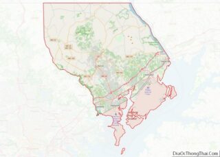
Aberdeen location map. Where is Aberdeen city?
History
Aberdeen was named after Aberdeen, Scotland, by immigrating Scots.
The James B. Baker House, Chestnut Ridge, Griffith House, Poplar Hill, Sophia’s Dairy, and Swansbury are listed on the National Register of Historic Places.
Early settlements
Aberdeen began as a farming community in 1720, when Charles Calvert, the fifth Lord Baltimore, granted 1,140 acres of fertile land to Edward Hall. Located on the western edge of the Chesapeake on the main road between Alexandria and Philadelphia called the Old Post Road, the village at Halls Cross Road remained small until the Philadelphia, Wilmington and Baltimore Railroad scouted the area for a watering station in 1835. One of the railroad companies engineers was Edmund Law Rogers who saw the great potential in the place for development.
Village of Aberdeen
The Village of Aberdeen was a development by Edmund Law Rogers around 1800. The name originated from its mother city, Aberdeen, Scotland, as a result of the close relationship the Rogers family of Baltimore had with their cousin, the Earl of Aberdeen, who became Prime Minister of Great Britain in 1852. The area now known as Aberdeen is a cluster of three communities
- Hall’s Cross Roads, located at the intersection of Old Philadelphia Road (MD-7, in some places known as Old Post Road, then known as Philadelphia Post Road) and Bush River Neck Road (then the main road from Swan Creek 39°31′28.41″N 76°8′17.75″W / 39.5245583°N 76.1382639°W / 39.5245583; -76.1382639)
- Mechanicsville, located at 39°36′7.3836″N 76°19′10.8516″W / 39.602051000°N 76.319681000°W / 39.602051000; -76.319681000
- The Village of Aberdeen
As a town
In 1892, Aberdeen was incorporated as a town, under Chapter 136 of the Acts of 1892.
Upon incorporation as a town, the Aberdeen government was led by a board of commissioners.
- 1892–1905, a Board President was elected annually by the commissioners
- 1906–1954, this election was changed to be biennial
- 1955–1992, the election of a Board President was changed back to be annual
In 1992, the Town of Aberdeen revised the Charter and became the City of Aberdeen with an Elected Mayor. The first mayor of the City of Aberdeen was Ruth Elliot. The second mayor was Doug Wilson, and Fred Simmons was elected mayor in 2005. Michael Bennett served as mayor from 2007 to 2015. In 2015, Patrick McGrady was elected Mayor of Aberdeen and is currently serving a 4-year term.
As a city
In 1992, Aberdeen was incorporated as a city.
2018 shooting
On September 20, 2018, 26-year-old Snochia Moseley opened fire at a Rite Aid she temporarily worked at. She killed three people and injured three others before turning the gun on herself.
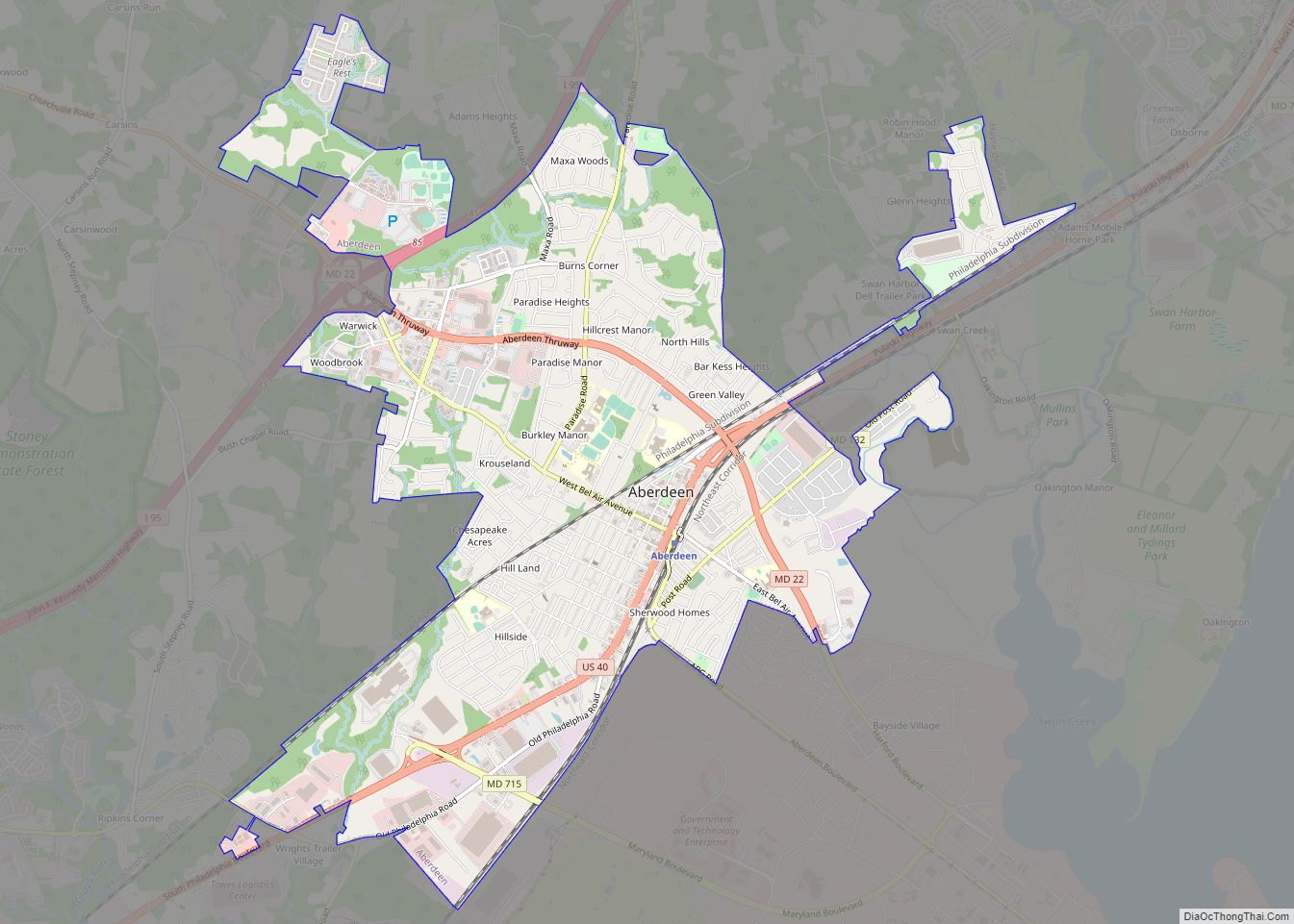
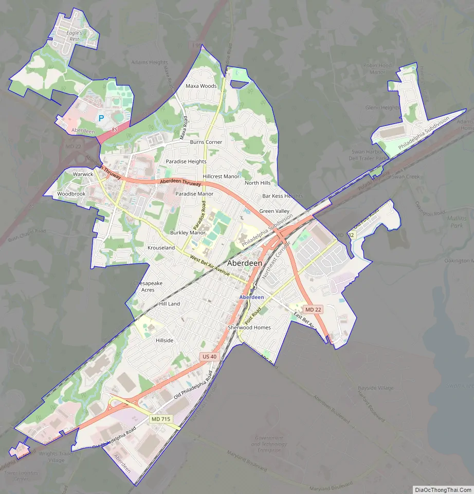
Aberdeen Road Map
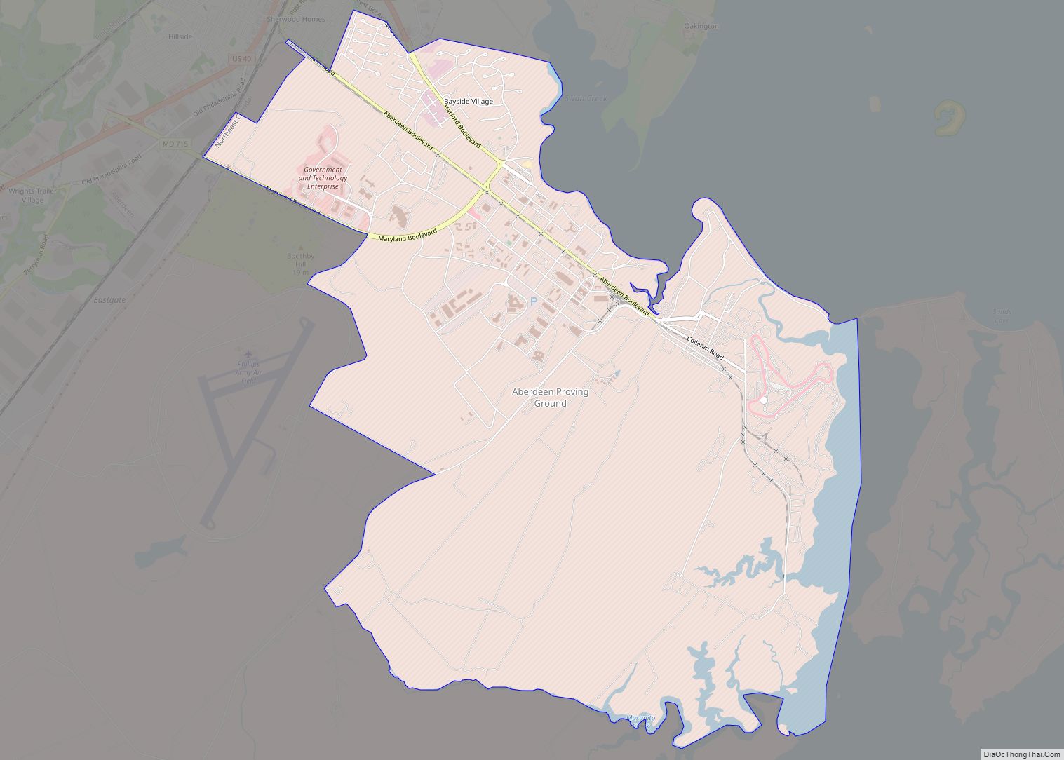
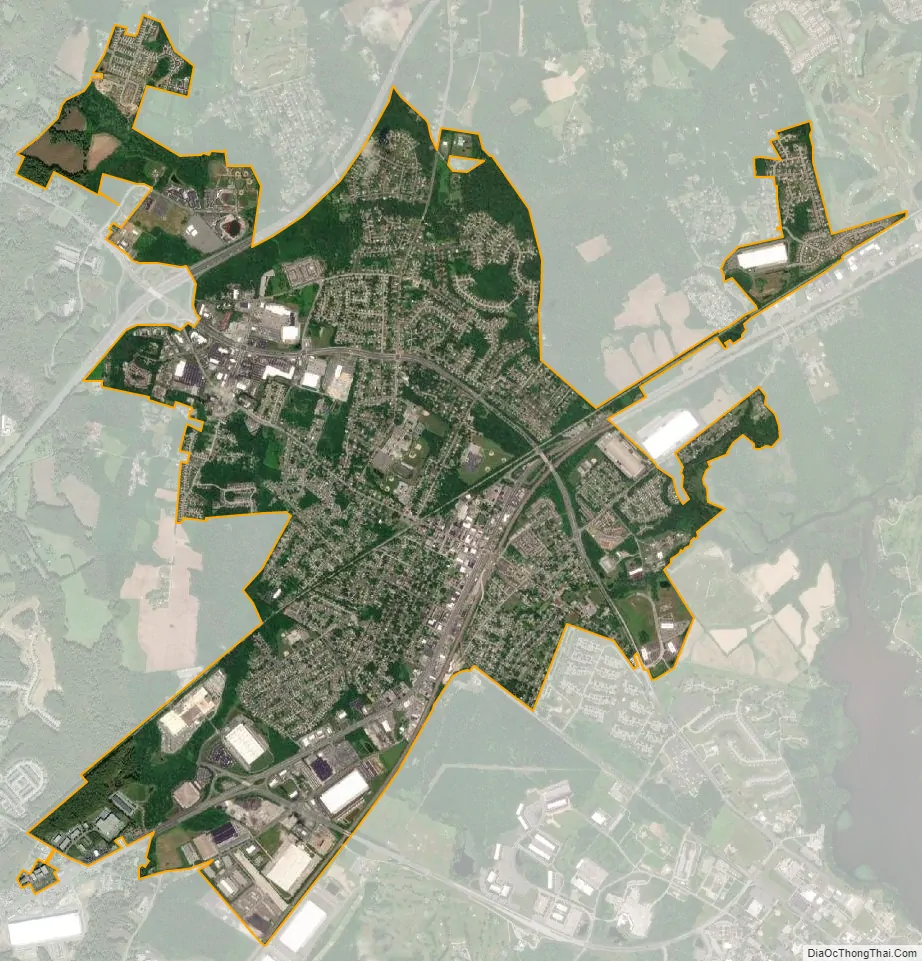
Aberdeen city Satellite Map
Geography
According to the United States Census Bureau, the city has a total area of 6.81 square miles (17.64 km), of which, 6.80 square miles (17.61 km) is land and 0.01 square miles (0.03 km) is water.
The city of Aberdeen is located at the north end of Upper Chesapeake Bay.
See also
Map of Maryland State and its subdivision: Map of other states:- Alabama
- Alaska
- Arizona
- Arkansas
- California
- Colorado
- Connecticut
- Delaware
- District of Columbia
- Florida
- Georgia
- Hawaii
- Idaho
- Illinois
- Indiana
- Iowa
- Kansas
- Kentucky
- Louisiana
- Maine
- Maryland
- Massachusetts
- Michigan
- Minnesota
- Mississippi
- Missouri
- Montana
- Nebraska
- Nevada
- New Hampshire
- New Jersey
- New Mexico
- New York
- North Carolina
- North Dakota
- Ohio
- Oklahoma
- Oregon
- Pennsylvania
- Rhode Island
- South Carolina
- South Dakota
- Tennessee
- Texas
- Utah
- Vermont
- Virginia
- Washington
- West Virginia
- Wisconsin
- Wyoming