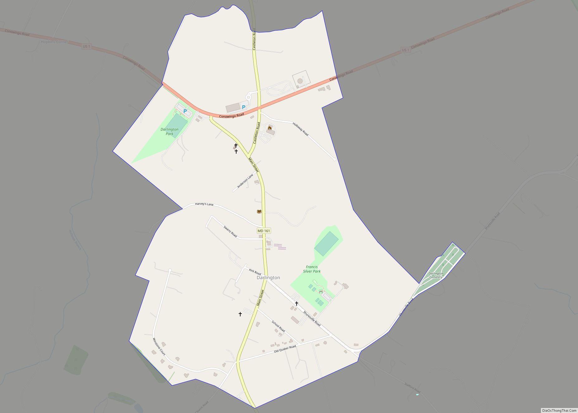
Darlington is an unincorporated community and census-designated place in northeastern Harford County, Maryland, United States. The population was 409 at the 2010 census. The center of the community was listed on the National Register of Historic Places as the Darlington Historic District in 1987. Median household income is $66,563. The percentage of people in poverty is 5.3%.
| Name: | Darlington CDP |
|---|---|
| LSAD Code: | 57 |
| LSAD Description: | CDP (suffix) |
| State: | Maryland |
| County: | Harford County |
| Elevation: | 330 ft (100 m) |
| Total Area: | 1.04 sq mi (2.71 km²) |
| Land Area: | 1.04 sq mi (2.71 km²) |
| Water Area: | 0.00 sq mi (0.00 km²) |
| Total Population: | 398 |
| Population Density: | 380.86/sq mi (147.02/km²) |
| ZIP code: | 21034 |
| Area code: | 410 and 443 and 667 |
| FIPS code: | 2421800 |
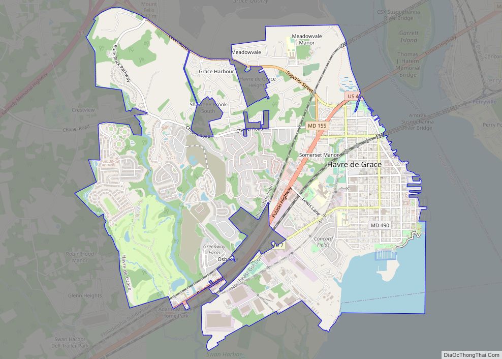
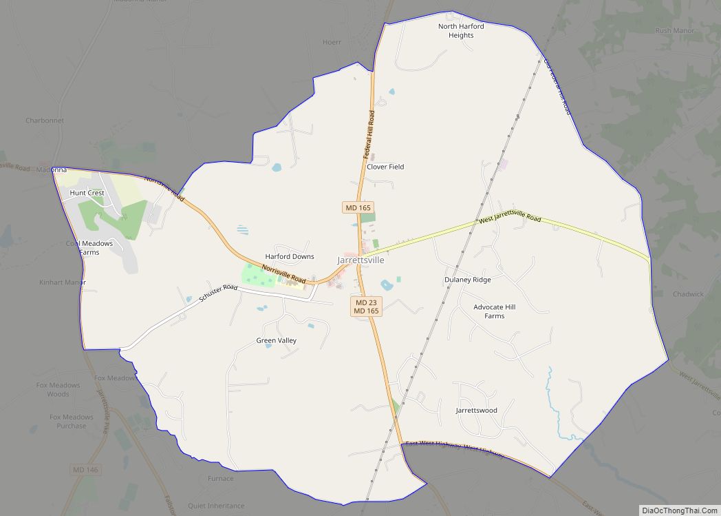
Online Interactive Map
Click on ![]() to view map in "full screen" mode.
to view map in "full screen" mode.
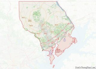
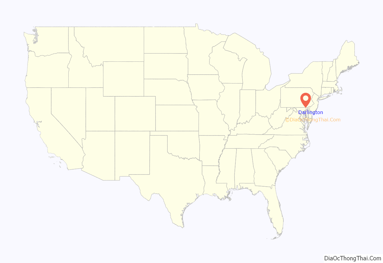
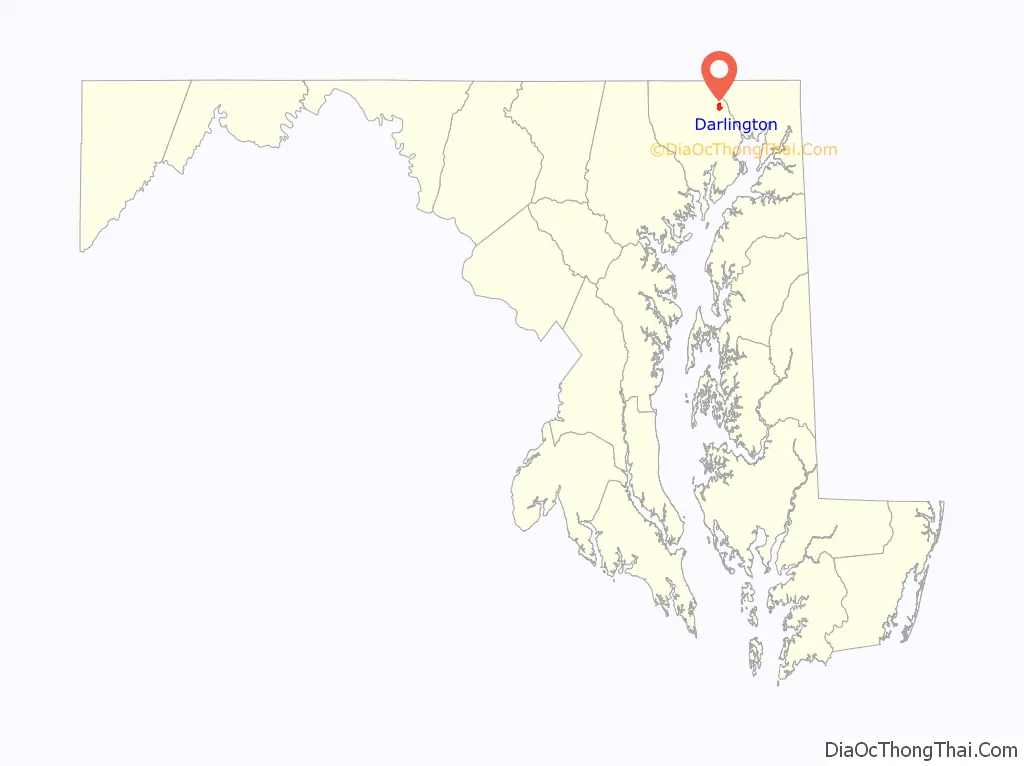
Darlington location map. Where is Darlington CDP?
History
There is evidence for settlement in the town around 1700, but not much before that time. Darlington had a stagecoach line to Baltimore and a lot of traffic from the Susquehanna and the Tidewater Canal had to go through it.
The Darlington Academy was built in 1836 and used to be a popular school in Harford County. Additionally, almost 100 years later in 1928 the Conowingo Dam was built and made it easier to travel across.
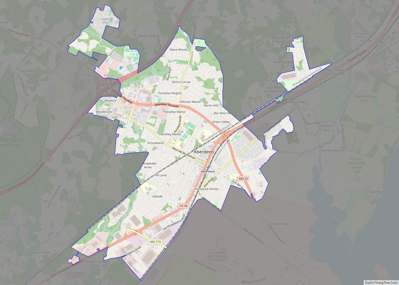
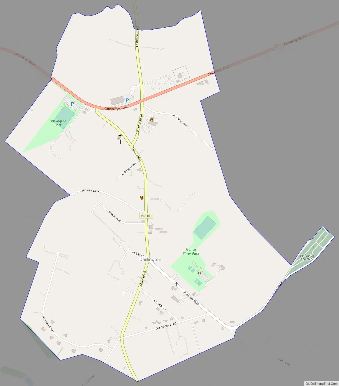
Darlington Road Map
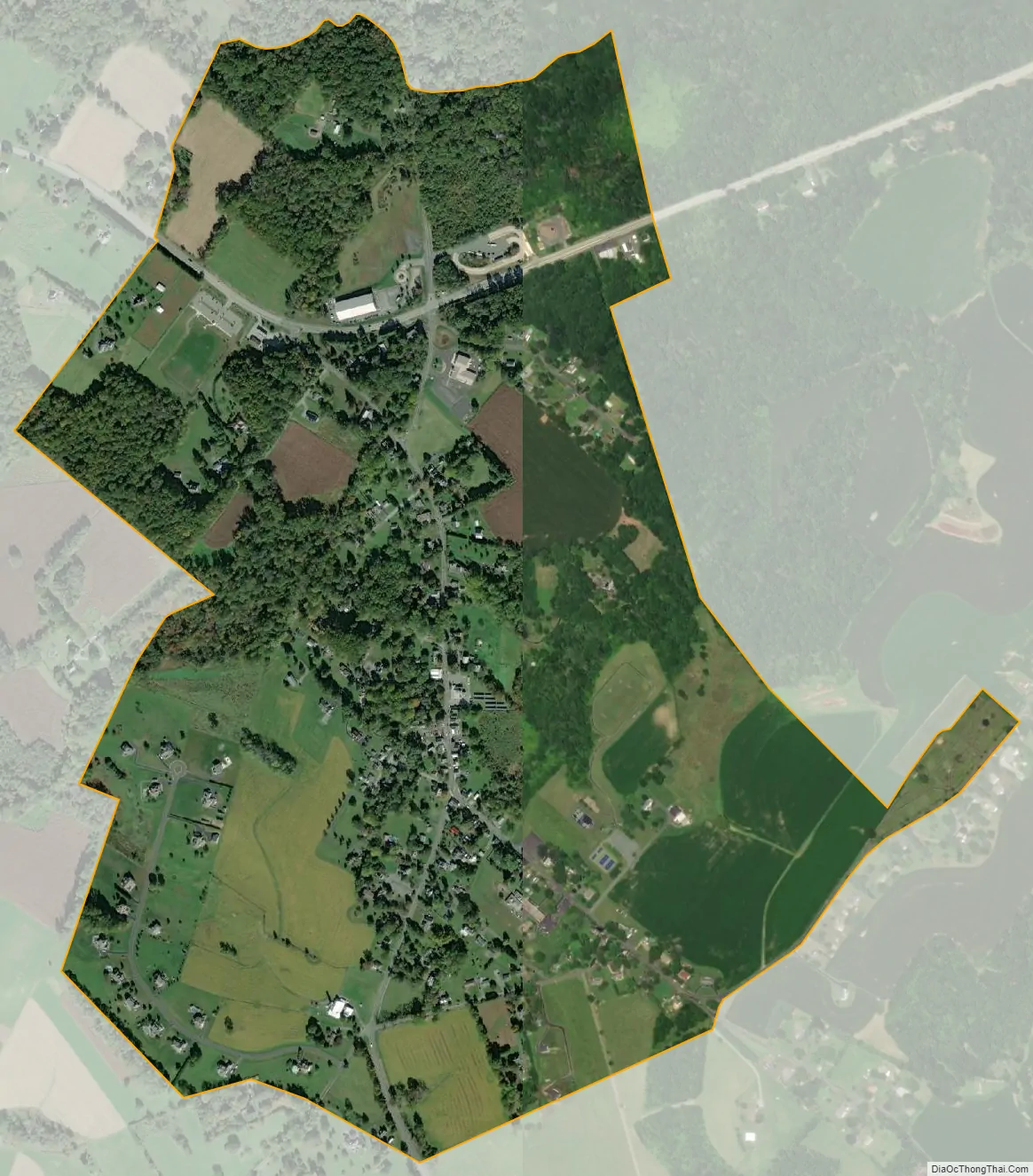
Darlington city Satellite Map
Geography
Darlington is located in northeastern Harford County at 39°30′10″N 76°19′8″W / 39.50278°N 76.31889°W / 39.50278; -76.31889 (39.502757, −76.318971), along Maryland Route 161. U.S. Route 1 crosses the northern side of the community, leading northeast 65 miles (105 km) to Philadelphia and southwest 35 miles (56 km) to Baltimore. Route 1 crosses the Susquehanna River at Conowingo Dam, 2 miles (3 km) northeast of Darlington. Havre de Grace is 11 miles (18 km) to the southeast via Routes 161 and 155.
According to the United States Census Bureau, the Darlington CDP has a total area of 1.05 square miles (2.72 km), all land.
See also
Map of Maryland State and its subdivision: Map of other states:- Alabama
- Alaska
- Arizona
- Arkansas
- California
- Colorado
- Connecticut
- Delaware
- District of Columbia
- Florida
- Georgia
- Hawaii
- Idaho
- Illinois
- Indiana
- Iowa
- Kansas
- Kentucky
- Louisiana
- Maine
- Maryland
- Massachusetts
- Michigan
- Minnesota
- Mississippi
- Missouri
- Montana
- Nebraska
- Nevada
- New Hampshire
- New Jersey
- New Mexico
- New York
- North Carolina
- North Dakota
- Ohio
- Oklahoma
- Oregon
- Pennsylvania
- Rhode Island
- South Carolina
- South Dakota
- Tennessee
- Texas
- Utah
- Vermont
- Virginia
- Washington
- West Virginia
- Wisconsin
- Wyoming