Johnston County is a county located in the U.S. state of North Carolina. As of the 2020 census, the population was 215,999. Its county seat is Smithfield.
Johnston County is included in the Raleigh, NC Metropolitan Statistical Area, which is also included in the Raleigh–Durham–Chapel Hill, NC Combined Statistical Area, which has a population of 1,998,808 as of U.S. Census 2012 Population Estimates.
| Name: | Johnston County |
|---|---|
| FIPS code: | 37-101 |
| State: | North Carolina |
| Founded: | 1746 |
| Named for: | Gabriel Johnston |
| Seat: | Smithfield |
| Largest town: | Clayton |
| Total Area: | 796 sq mi (2,060 km²) |
| Land Area: | 791 sq mi (2,050 km²) |
| Total Population: | 226,504 |
| Population Density: | 286.4/sq mi (110.6/km²) |
| Time zone: | UTC−5 (Eastern) |
| Summer Time Zone (DST): | UTC−4 (EDT) |
| Website: | www.johnstonnc.com |
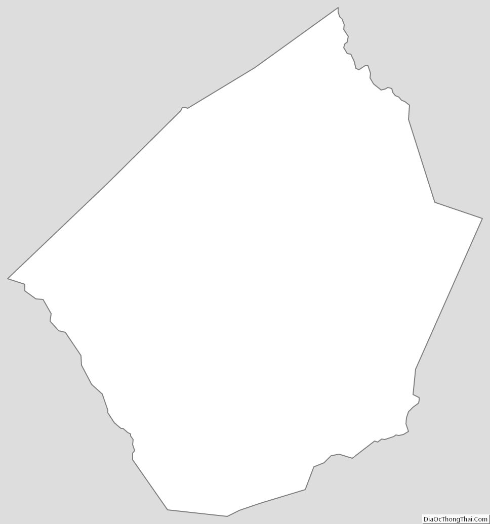
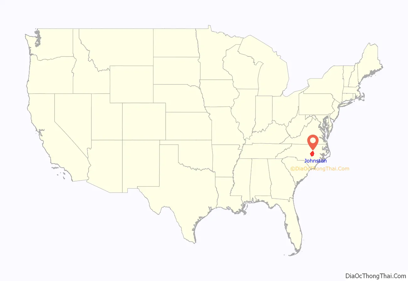
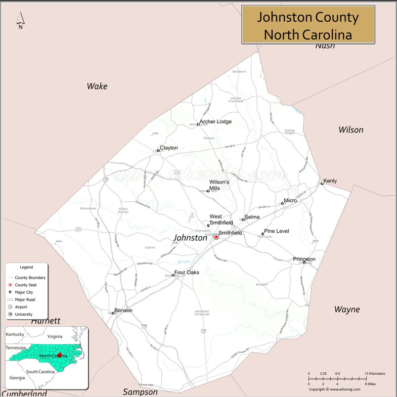
Johnston County location map. Where is Johnston County?
History
Johnston County and St. Patrick’s Parish were established on June 28, 1746, from the upper part of Craven County. On March 1, 1752, part of Granville, Johnston, and Bladen counties were combined to form Orange County and St. Matthew’s Parish. On November 23, 1758, Johnston County was divided between the Parish of St. Patrick and the Parish of St. Stephen, St. Patrick’s Parish becoming Dobbs County. On December 5, 1770, parts of Johnston, Cumberland, and Orange counties were combined to form Wake County and St. Margaret’s Parish. Finally, on Februuary 13, 1855, parts of Edgecombe, Nash, Johnston, and Wayne counties were combined to form Wilson County.
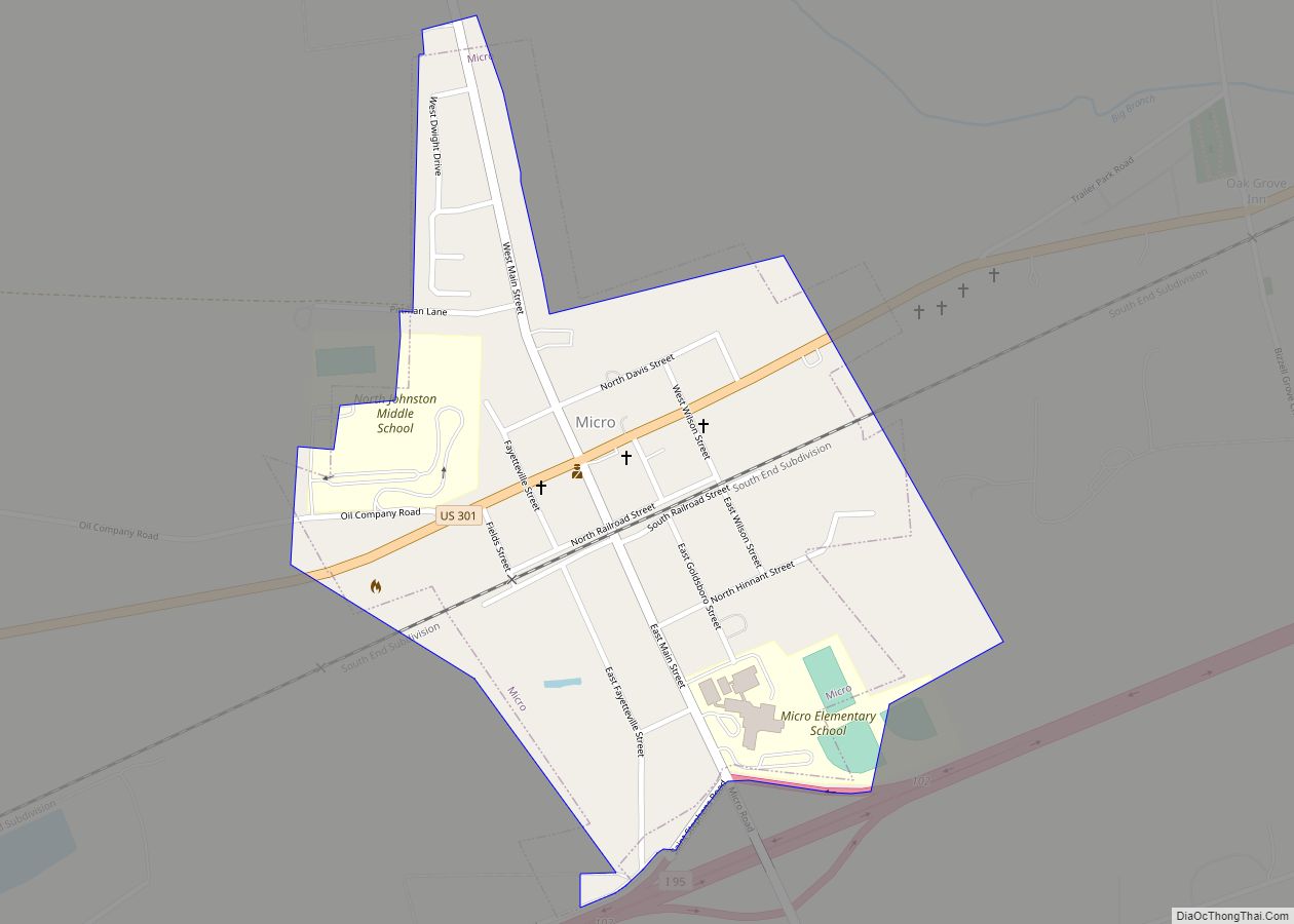
Most early growers in Johnston County were subsistence farmers. A few grew tobacco as a cash crop or reared pigs and cattle, which were sold in Virginia. Smithfield was the westernmost freight port on the Neuse River, and in 1770 the colonial government erected a tobacco warehouse there to store the crop before it was shipped out. Eli Whitney’s cotton gin was introduced in the county in about 1804, leading cotton to become the area’s leading cash crop. Production for sale at markets remained low before the 1850s due to poor transportation links with other parts of the state. In 1856 the North Carolina Railroad was completed, connecting Johnston County with major urban areas. As result, farming for sale increased, lumber and turpentine industries developed, and the towns of Princeton, Pine Level, Selma, and Clayton were eventually created. About 1,500 Johnstonian men fought in the American Civil War, of whom about a third died. Lingering political tensions and the emancipation of slaves created social and economic turmoil. The new state constitution of 1868 created the county’s first townships, which were altered up until 1913. In 1886 the “Short-Cut” line of the Wilmington and Weldon Railroad was laid through Johnston, eventually giving rise to the towns of Kenly, Micro, Four Oaks, and Benson.
The Panic of 1893 caused cotton prices to sharply decline, leading area farmers to switch to bright leaf tobacco as their primary cash crop. A new tobacco market was established in Smithfield in 1898, and the county’s first bank was created. Within several years, cotton mills were erected in Smithfield, Clayton, and Selma. During World War I, a brief surge in tobacco and cotton prices brought a boom to the local economy. As a result, the county embarked on a school-construction campaign and consolidated all public schools under a single county system. In the 1920s the state built the county’s first two paved highways, and shortly thereafter many towns began paving their main streets. While local commerce enjoyed significant success during the decade, area farmers struggled due to drops in tobacco and cotton prices. The Wall Street Crash of 1929 and ensuing Great Depression caused all banks in the county close. Following the passage of a state bond issue in 1949, most roads in the county and town streets were paved.
Etymology
Johnston County was named after Governor Gabriel Johnston by an act of the General Assembly during the creation of the county in 1746.
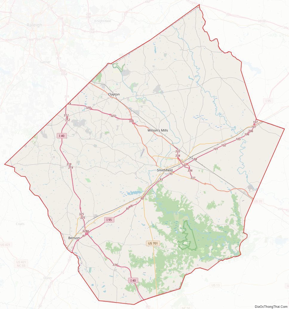
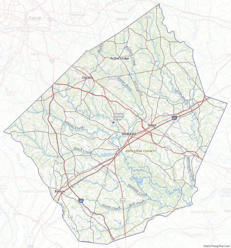
Johnston County Road Map
Geography
According to the U.S. Census Bureau, the county has a total area of 796 square miles (2,060 km), of which 791 square miles (2,050 km) is land and 4.2 square miles (11 km) (0.5%) is water.
State and local protected areas
- Bentonville Battlefield State Historic Site
- Clemmons Educational State Forest (part)
- Flower Hill Nature Preserve (part)
- Howell Woods Environmental Learning Center
- Wild Bills Western Town- Shadowhawk
Major water bodies
- Black Creek
- Buckhorn Reservoir
- Buffalo Creek
- Holts Lake
- Little Creek
- Little River (Neuse River tributary)
- Middle Creek
- Mingo Swamp (South River tributary)
- Moccasin Creek
- Neuse River
- Sassarixa Swamp
- Snipers Creek
- Swift Creek
Adjacent counties
- Nash County – northeast
- Wilson County – east
- Wayne County – southeast
- Sampson County – south
- Harnett County – southwest
- Wake County – northwest
Major highways
- I-40
- Future I-42 (Concurrency with US 70)
- I-95
- I-540 / NC 540 Toll
- Future I-587 (Concurrency with US 264)
- US 70
- US 70 Alt.
- US 70 Bus.
- US 301
- US 701
- US 264 Alt.
- NC 27
- NC 39
- NC 42
- NC 50
- NC 55
- NC 96
- NC 210
- NC 222
- NC 231
- NC 242
Major infrastructure
- Johnston Regional Airport (JNX/KJNX)
- Selma Union Depot
Johnston County Topographic Map
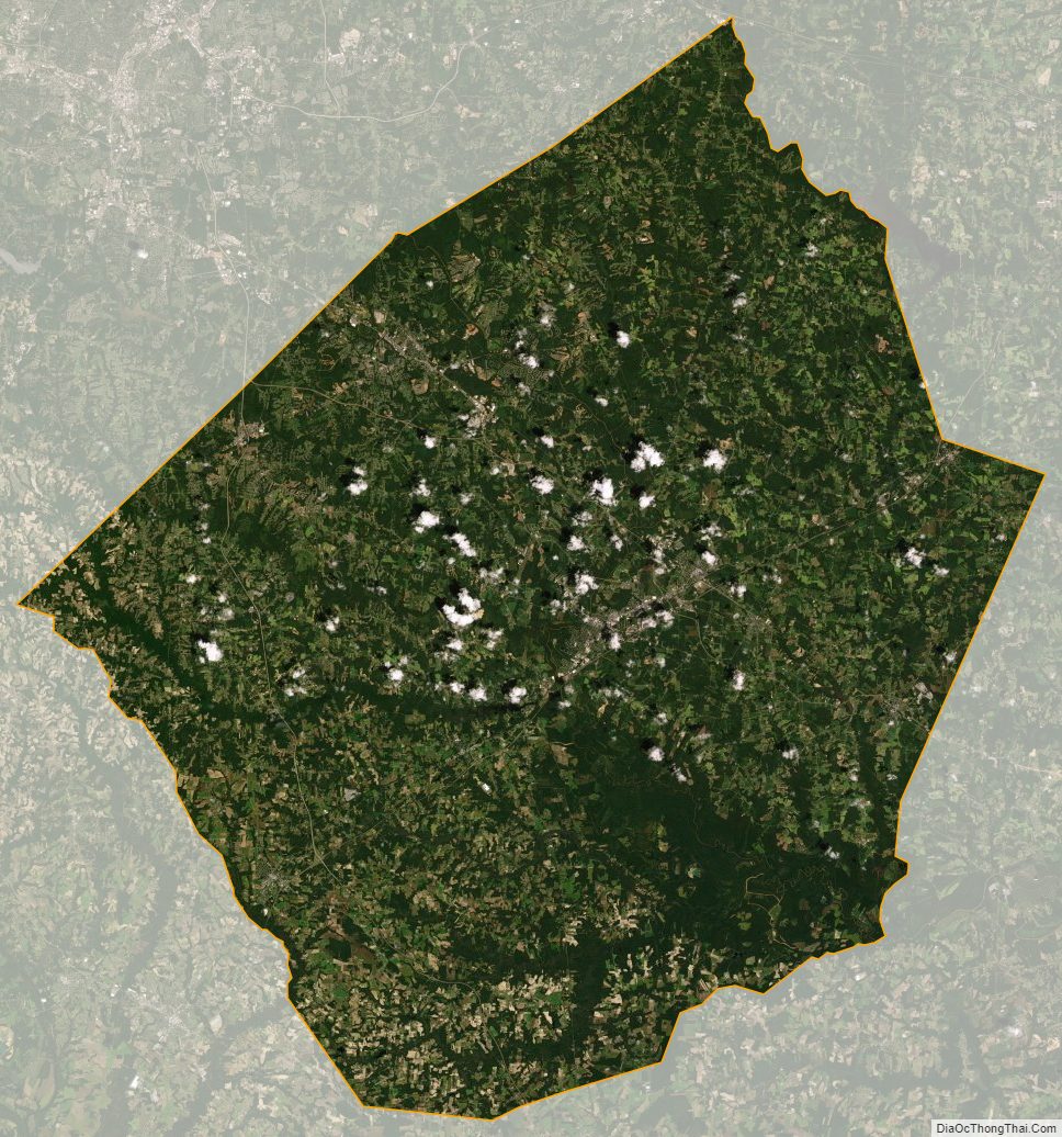
Johnston County Satellite Map
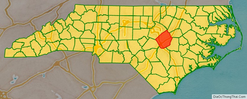
Johnston County Outline Map