Chapel Hill is a town in Orange and Durham counties in the U.S. state of North Carolina. Its population was 61,960 in the 2020 census, making Chapel Hill the 17th-largest municipality in the state. Chapel Hill, Durham, and the state capital, Raleigh, make up the corners of the Research Triangle (officially the Raleigh–Durham–Cary, NC Combined Statistical Area), with a total population of 2,106,463 in 2020 census.
The town was founded in 1793 and is centered on Franklin Street, covering 21.3 square miles (55 km). It contains several districts and buildings listed on the National Register of Historic Places. The University of North Carolina at Chapel Hill and UNC Health Care are a major part of the economy and town influence. Local artists have created many murals.
| Name: | Chapel Hill town |
|---|---|
| LSAD Code: | 43 |
| LSAD Description: | town (suffix) |
| State: | North Carolina |
| County: | Durham County, Orange County |
| Founded: | 1793 |
| Elevation: | 486 ft (148 m) |
| Total Area: | 21.75 sq mi (56.32 km²) |
| Land Area: | 21.60 sq mi (55.93 km²) |
| Water Area: | 0.15 sq mi (0.39 km²) |
| Total Population: | 61,960 |
| Population Density: | 2,869.05/sq mi (1,107.75/km²) |
| ZIP code: | 27514-27517 |
| FIPS code: | 3711800 |
| Website: | www.townofchapelhill.org |
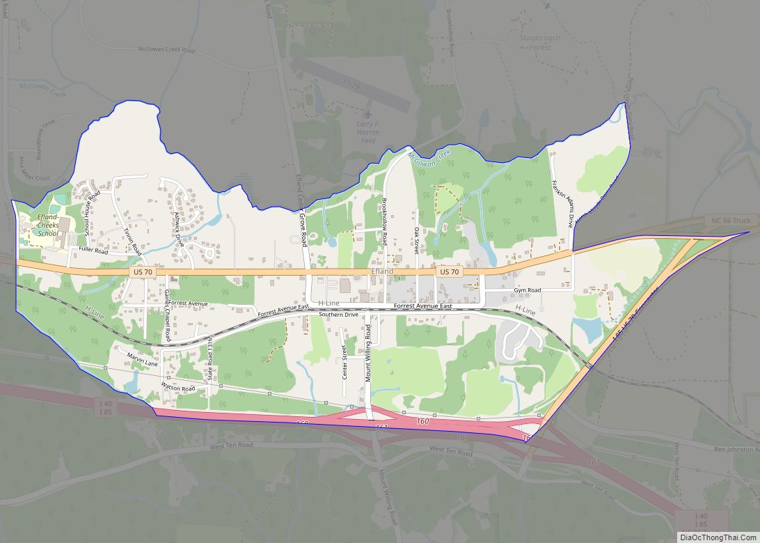
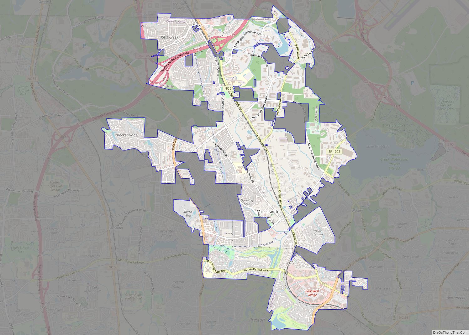
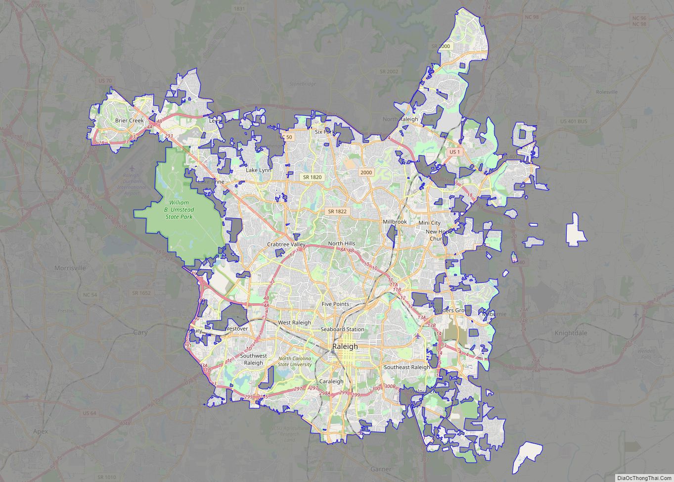
Online Interactive Map
Click on ![]() to view map in "full screen" mode.
to view map in "full screen" mode.
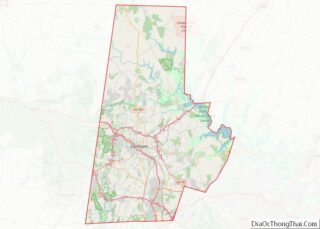
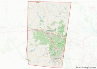
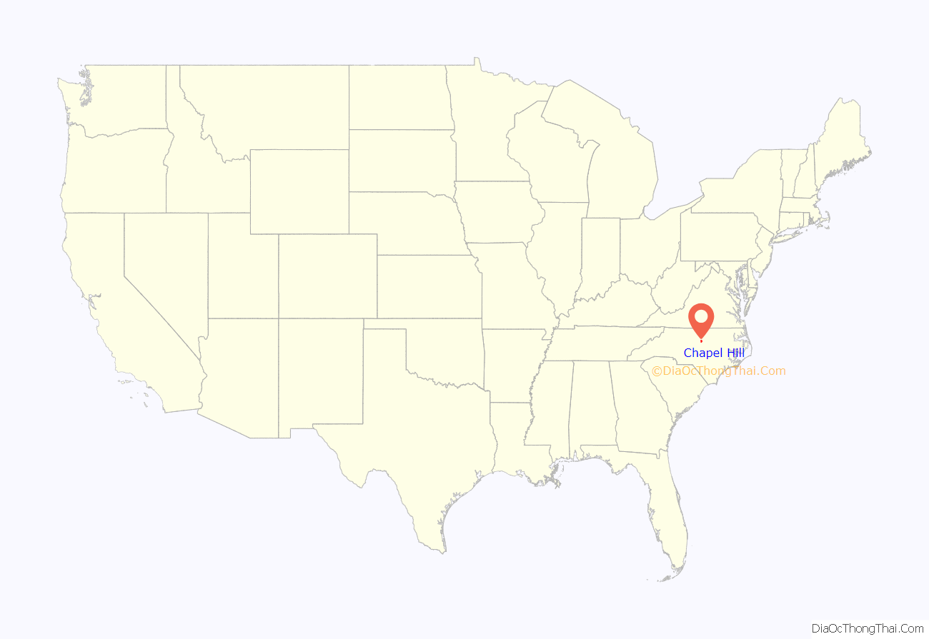
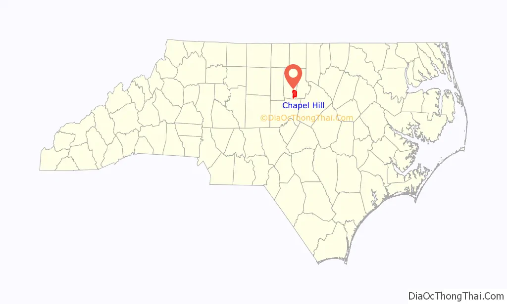
Chapel Hill location map. Where is Chapel Hill town?
History
Pre-establishment and colonial era
The Occaneechi Indians lived in the area of what is now Hillsborough, north of Chapel Hill, prior to European settlement.
The area was the home place of early settler William Barbee of Middlesex County, Virginia, whose 1753 grant of 585 acres on the north and south side of “Lick Branch” from John Carteret, 2nd Earl Granville was the first of two land grants in what is now the Chapel Hill-Durham area. Though William Barbee died shortly after settling there in 1758, one of his eight children, Christopher Barbee, became an important contributor to his father’s adopted community and to the fledgling University of North Carolina. In 1792, he offered the trustees of UNC 221 acres on which the university is now built, making him the university’s largest donor.
Chapel Hill has developed along a hill; the crest was the original site of a small Anglican “chapel of ease”, built in 1752, known as New Hope Chapel. The Carolina Inn now occupies this site. In 1819, the town was founded by the NC General Assembly to serve the University of North Carolina and developed around it. The town was chartered in 1851, and its main street, Franklin Street, was named in memory of Benjamin Franklin.
Civil War
Four in ten Chapel Hillians were enslaved at the start of the Civil War, and about half of the town was Black. In April 1865, as the war ended, the 9th Michigan Cavalry rode into Chapel Hill and occupied the university and the town for more than two weeks.
Civil Rights Era
In 1969, a year after the city fully integrated its schools, Chapel Hill elected Howard Lee as mayor. It was the first majority-white municipality in the South to elect an African-American mayor. Serving from 1969 to 1975, Lee helped establish Chapel Hill Transit, the town’s bus system, and the Mountains-to-Sea trail.
Some 30 years later, in 2002, the state passed legislation to provide free service to all riders on local buses. The bus operations are funded through Chapel Hill and Carrboro town taxes, federal grants, and UNC student tuition. The change has resulted in a large increase in ridership, taking many cars off the roads. Several hybrid and articulated buses have been added recently. All buses carry GPS transmitters to report their location in real-time to a tracking web site. Buses can transport bicycles and have wheelchair lifts.
In 1993, the town celebrated its bicentennial and founded the Chapel Hill Museum. This cultural community resource “exhibiting the character and characters of Chapel Hill, North Carolina” includes among its permanent exhibits Alexander Julian, History of the Chapel Hill Fire Department, Chapel Hill’s 1914 Fire Truck, The James Taylor Story, Farmer/James Pottery, and The Paul Green Legacy.
In addition to the Carolina Inn, the Beta Theta Pi Fraternity House, Chapel Hill Historic District, Chapel Hill Town Hall, Chapel of the Cross, Gimghoul Neighborhood Historic District, Alexander Hogan Plantation, Old Chapel Hill Cemetery, Old East, University of North Carolina, Playmakers Theatre, Rocky Ridge Farm Historic District, and West Chapel Hill Historic District are listed on the National Register of Historic Places.
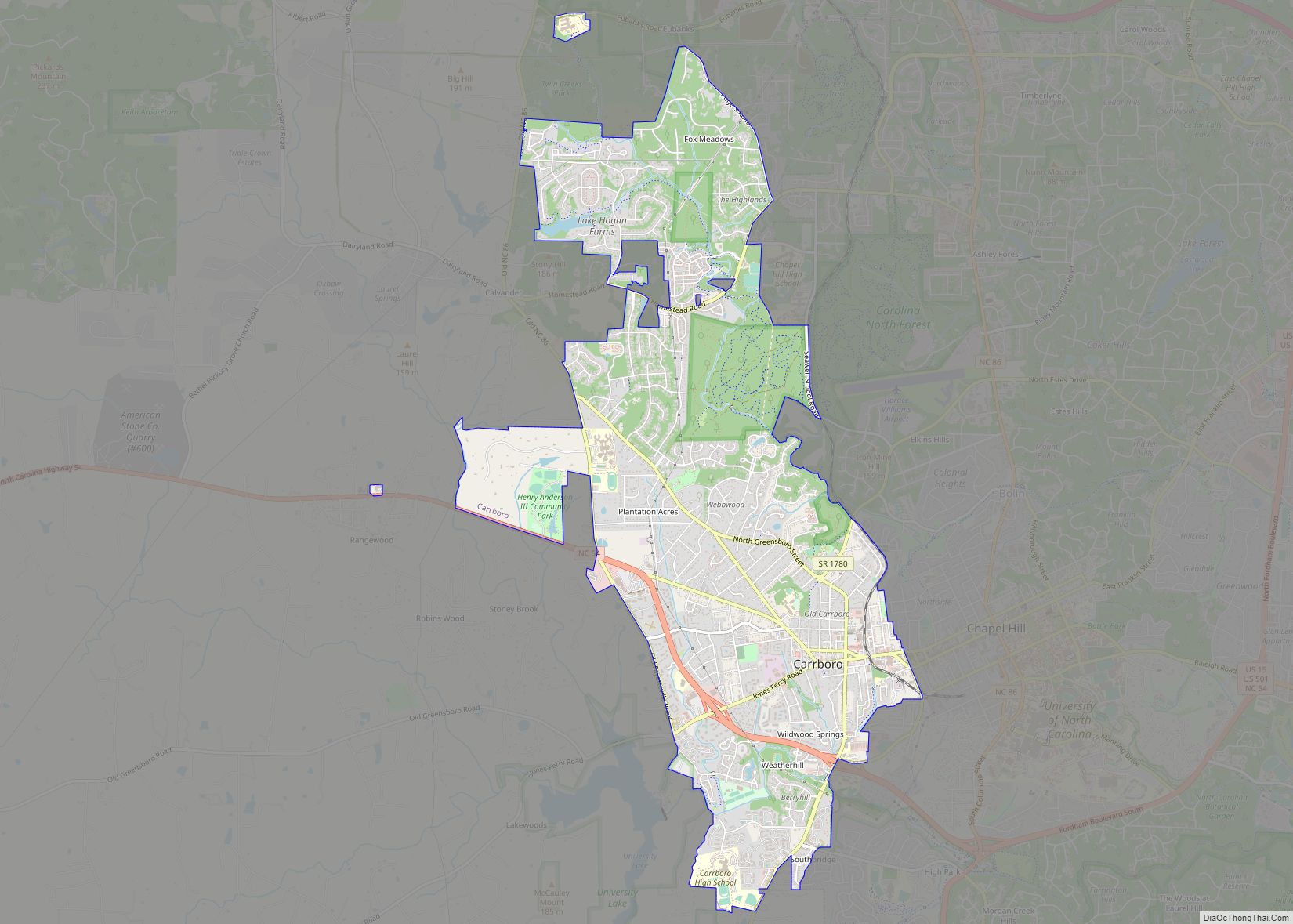
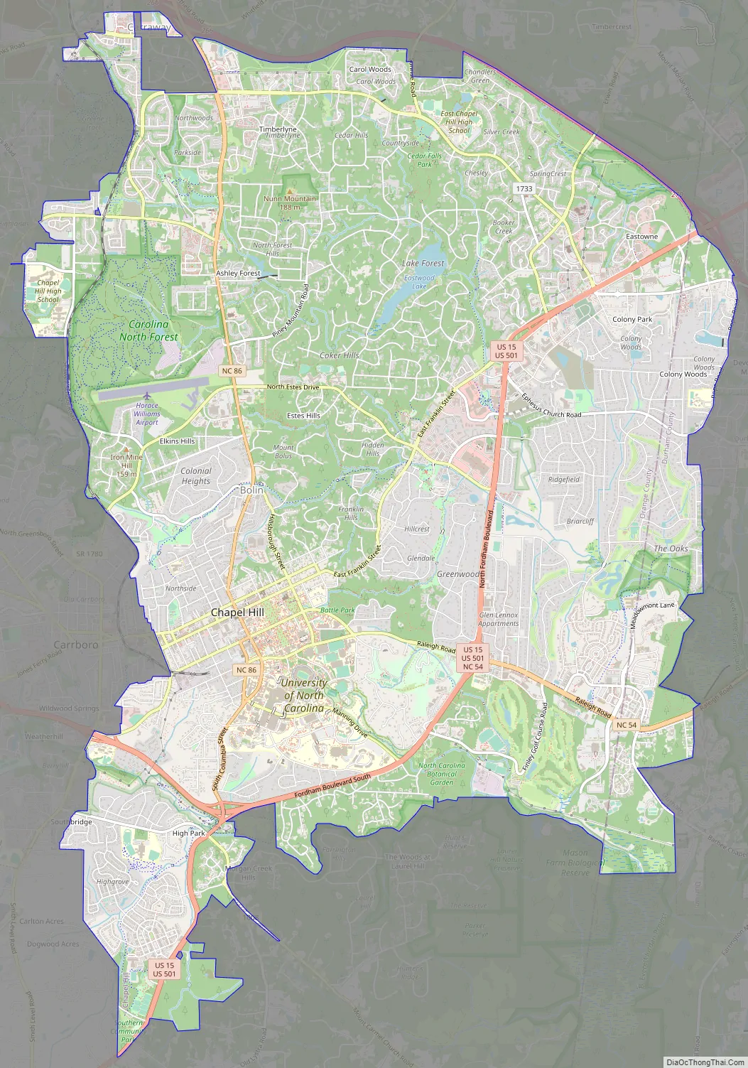
Chapel Hill Road Map
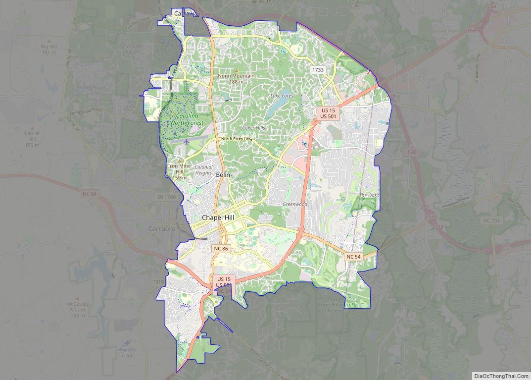
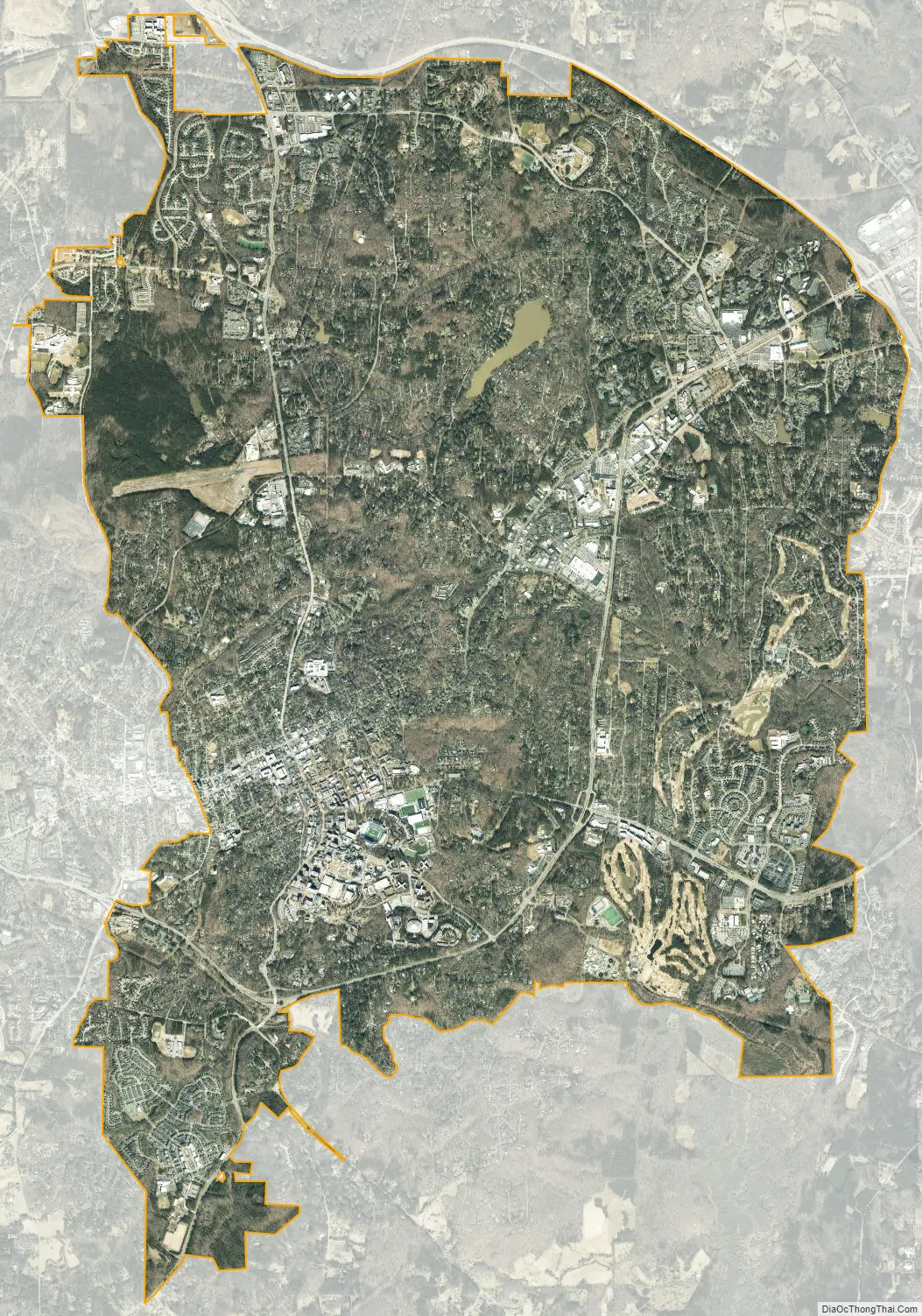
Chapel Hill city Satellite Map
Geography
Chapel Hill is located in the southeast corner of Orange County. It is bounded on the west by the town of Carrboro and on the northeast by the city of Durham. However, most of Chapel Hill’s borders are adjacent to unincorporated portions of Orange and Durham Counties rather than shared with another municipality. According to the United States Census Bureau, the town has a total area of 21.3 square miles (55.1 km), of which 21.1 square miles (54.7 km) is land and 0.15 square miles (0.4 km) is covered by water. University Lake is part of the town’s public water supply.
See also
Map of North Carolina State and its subdivision:- Alamance
- Alexander
- Alleghany
- Anson
- Ashe
- Avery
- Beaufort
- Bertie
- Bladen
- Brunswick
- Buncombe
- Burke
- Cabarrus
- Caldwell
- Camden
- Carteret
- Caswell
- Catawba
- Chatham
- Cherokee
- Chowan
- Clay
- Cleveland
- Columbus
- Craven
- Cumberland
- Currituck
- Dare
- Davidson
- Davie
- Duplin
- Durham
- Edgecombe
- Forsyth
- Franklin
- Gaston
- Gates
- Graham
- Granville
- Greene
- Guilford
- Halifax
- Harnett
- Haywood
- Henderson
- Hertford
- Hoke
- Hyde
- Iredell
- Jackson
- Johnston
- Jones
- Lee
- Lenoir
- Lincoln
- Macon
- Madison
- Martin
- McDowell
- Mecklenburg
- Mitchell
- Montgomery
- Moore
- Nash
- New Hanover
- Northampton
- Onslow
- Orange
- Pamlico
- Pasquotank
- Pender
- Perquimans
- Person
- Pitt
- Polk
- Randolph
- Richmond
- Robeson
- Rockingham
- Rowan
- Rutherford
- Sampson
- Scotland
- Stanly
- Stokes
- Surry
- Swain
- Transylvania
- Tyrrell
- Union
- Vance
- Wake
- Warren
- Washington
- Watauga
- Wayne
- Wilkes
- Wilson
- Yadkin
- Yancey
- Alabama
- Alaska
- Arizona
- Arkansas
- California
- Colorado
- Connecticut
- Delaware
- District of Columbia
- Florida
- Georgia
- Hawaii
- Idaho
- Illinois
- Indiana
- Iowa
- Kansas
- Kentucky
- Louisiana
- Maine
- Maryland
- Massachusetts
- Michigan
- Minnesota
- Mississippi
- Missouri
- Montana
- Nebraska
- Nevada
- New Hampshire
- New Jersey
- New Mexico
- New York
- North Carolina
- North Dakota
- Ohio
- Oklahoma
- Oregon
- Pennsylvania
- Rhode Island
- South Carolina
- South Dakota
- Tennessee
- Texas
- Utah
- Vermont
- Virginia
- Washington
- West Virginia
- Wisconsin
- Wyoming