Smithfield is a town in and the county seat of Johnston County, North Carolina, United States. As of the 2010 census, its population was 10,966, and in 2019 the estimated population was 12,985. Smithfield is home to the Ava Gardner Museum and is situated along the Neuse River, where visitors enjoy the annual Smithfield Ham and Yam Festival, walks along the Buffalo Creek Greenway, and the historic downtown district. The town is located near North Carolina’s Research Triangle and is about 30 miles (48 km) southeast of downtown Raleigh. The Raleigh-Durham-Cary combined statistical area has a population over 2 million residents.
| Name: | Smithfield town |
|---|---|
| LSAD Code: | 43 |
| LSAD Description: | town (suffix) |
| State: | North Carolina |
| County: | Johnston County |
| Elevation: | 148 ft (45 m) |
| Total Area: | 12.39 sq mi (32.08 km²) |
| Land Area: | 12.37 sq mi (32.05 km²) |
| Water Area: | 0.01 sq mi (0.04 km²) |
| Total Population: | 11,292 |
| Population Density: | 912.56/sq mi (352.34/km²) |
| ZIP code: | 27577 |
| Area code: | 919 |
| FIPS code: | 3762520 |
| GNISfeature ID: | 1025712 |
| Website: | smithfield-nc.com |
Online Interactive Map
Click on ![]() to view map in "full screen" mode.
to view map in "full screen" mode.
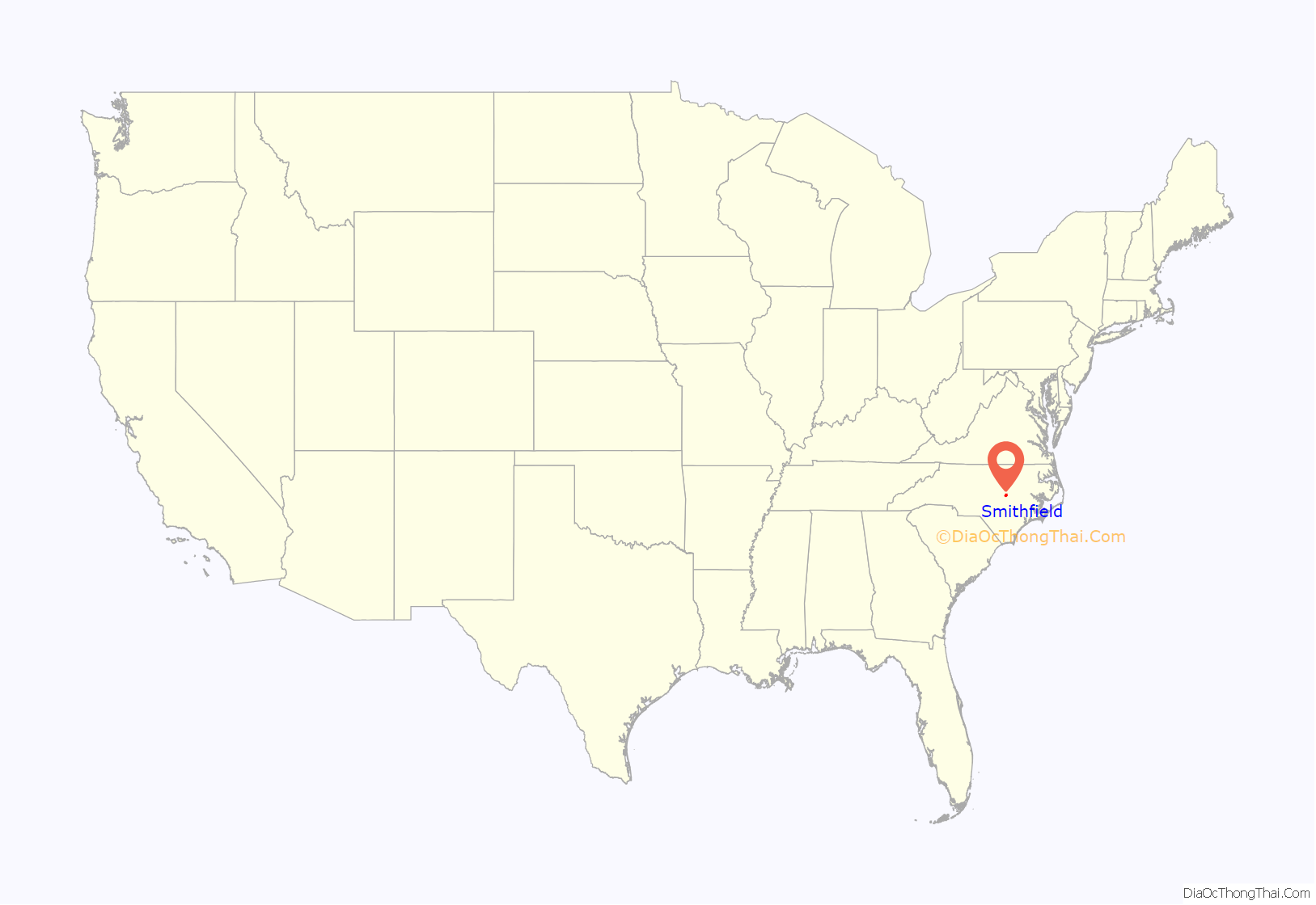
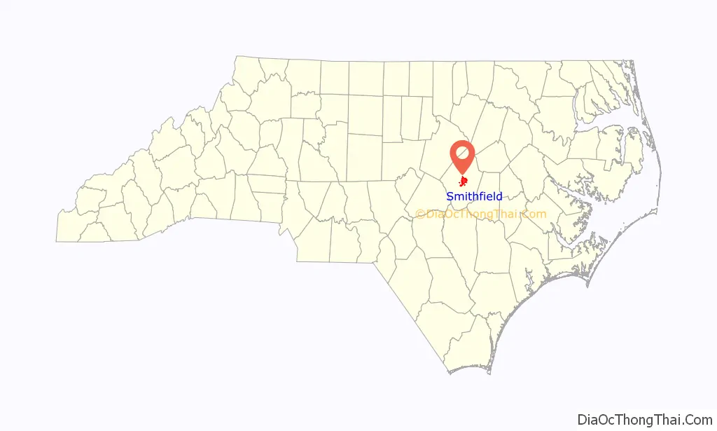
Smithfield location map. Where is Smithfield town?
History
Smithfield, founded near Smith’s ferry on the Neuse River, was Johnston County’s first town and second county seat. The county courthouse was moved from Hinton’s Quarter to Smithfield in 1771. The settlement was first known as Johnston County Court House and was incorporated as Smithfield in 1777. The third North Carolina state legislature met in Smithfield in 1779 and 1780.
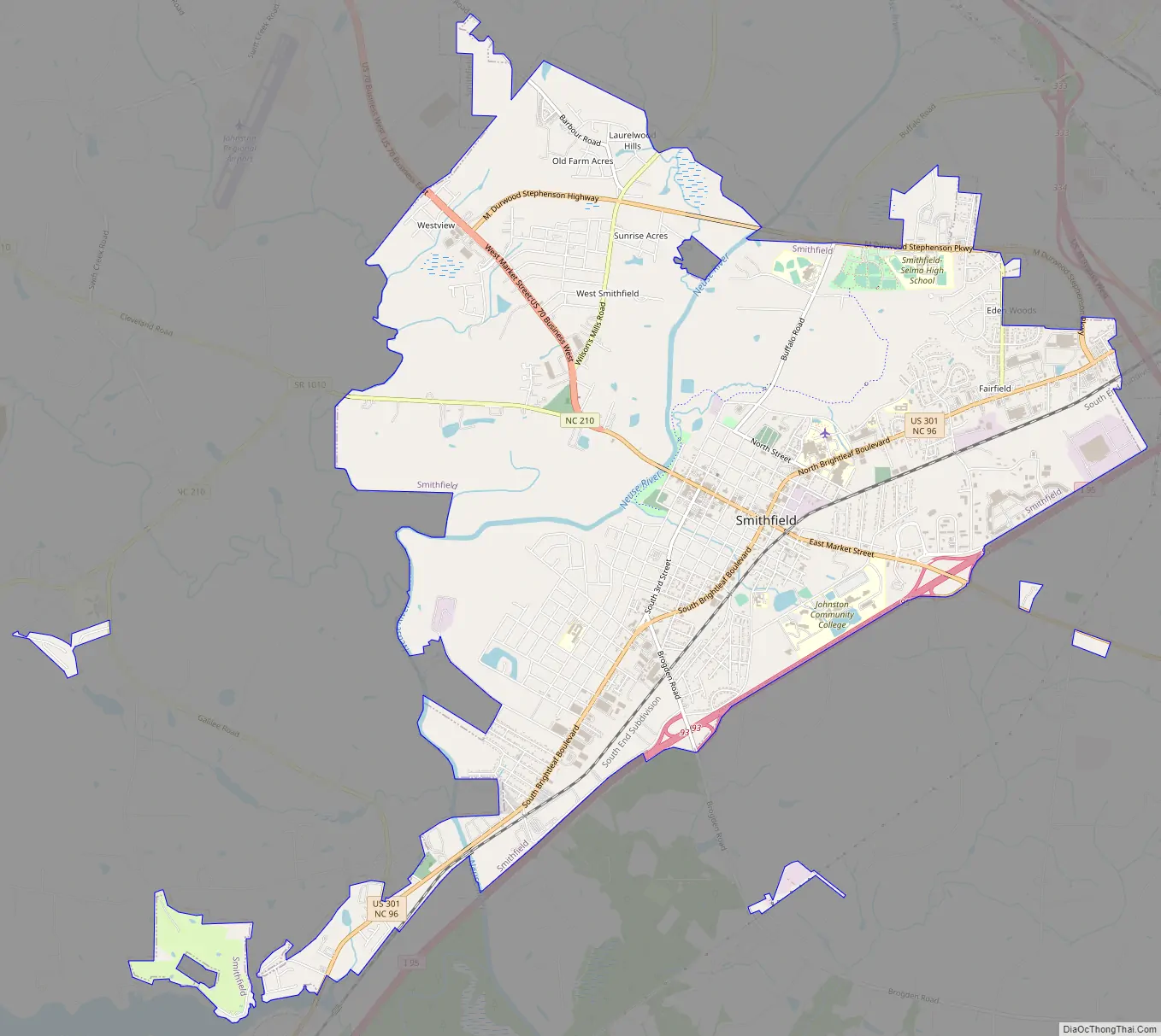
Smithfield Road Map
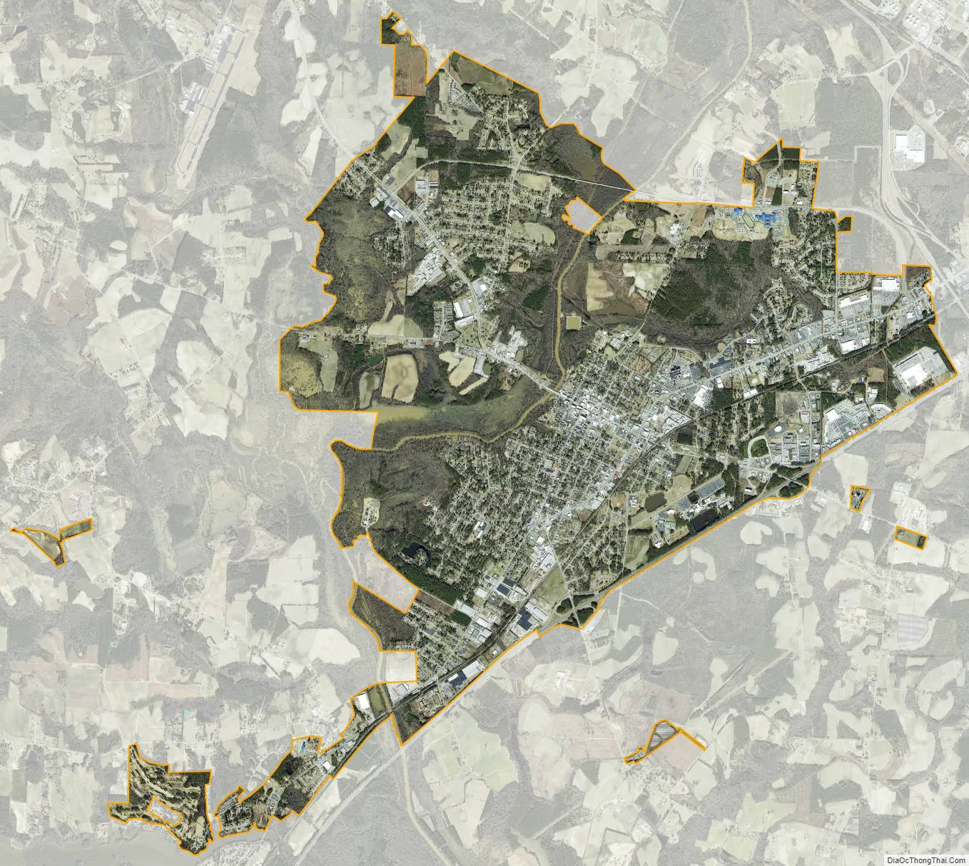
Smithfield city Satellite Map
Geography
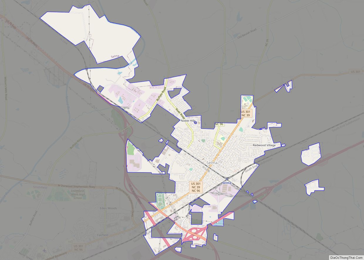
Smithfield is in central Johnston County and is bordered to the northeast by Selma. Interstate 95 runs along the southeastern edge of the town, with access from Exits 93, 95, and 97. I-95 leads northeast 46 miles (74 km) to Rocky Mount and southwest the same distance to Fayetteville. U.S. Route 301 passes through Selma on Brightleaf Boulevard, leading northeast 4 miles (6 km) to the center of Selma and southwest 15 miles (24 km) to Benson. U.S. Route 70 passes just northeast of Smithfield, leading northwest 30 miles (48 km) to Raleigh, and southeast 22 miles (35 km) to Goldsboro. U.S. Route 70 Business passes through the center of Smithfield as Market Street.
According to the U.S. Census Bureau, the town has a total area of 12.1 square miles (31.4 km), of which 0.02 sq mi (0.04 km), or 0.11%, is covered by water. The Neuse River runs through the town west of the downtown area, separating it from the neighborhood of West Smithfield.
See also
Map of North Carolina State and its subdivision:- Alamance
- Alexander
- Alleghany
- Anson
- Ashe
- Avery
- Beaufort
- Bertie
- Bladen
- Brunswick
- Buncombe
- Burke
- Cabarrus
- Caldwell
- Camden
- Carteret
- Caswell
- Catawba
- Chatham
- Cherokee
- Chowan
- Clay
- Cleveland
- Columbus
- Craven
- Cumberland
- Currituck
- Dare
- Davidson
- Davie
- Duplin
- Durham
- Edgecombe
- Forsyth
- Franklin
- Gaston
- Gates
- Graham
- Granville
- Greene
- Guilford
- Halifax
- Harnett
- Haywood
- Henderson
- Hertford
- Hoke
- Hyde
- Iredell
- Jackson
- Johnston
- Jones
- Lee
- Lenoir
- Lincoln
- Macon
- Madison
- Martin
- McDowell
- Mecklenburg
- Mitchell
- Montgomery
- Moore
- Nash
- New Hanover
- Northampton
- Onslow
- Orange
- Pamlico
- Pasquotank
- Pender
- Perquimans
- Person
- Pitt
- Polk
- Randolph
- Richmond
- Robeson
- Rockingham
- Rowan
- Rutherford
- Sampson
- Scotland
- Stanly
- Stokes
- Surry
- Swain
- Transylvania
- Tyrrell
- Union
- Vance
- Wake
- Warren
- Washington
- Watauga
- Wayne
- Wilkes
- Wilson
- Yadkin
- Yancey
- Alabama
- Alaska
- Arizona
- Arkansas
- California
- Colorado
- Connecticut
- Delaware
- District of Columbia
- Florida
- Georgia
- Hawaii
- Idaho
- Illinois
- Indiana
- Iowa
- Kansas
- Kentucky
- Louisiana
- Maine
- Maryland
- Massachusetts
- Michigan
- Minnesota
- Mississippi
- Missouri
- Montana
- Nebraska
- Nevada
- New Hampshire
- New Jersey
- New Mexico
- New York
- North Carolina
- North Dakota
- Ohio
- Oklahoma
- Oregon
- Pennsylvania
- Rhode Island
- South Carolina
- South Dakota
- Tennessee
- Texas
- Utah
- Vermont
- Virginia
- Washington
- West Virginia
- Wisconsin
- Wyoming