Clayton is a town in Johnston County, North Carolina, United States, and is considered a satellite town of Raleigh. As of 2010, Clayton’s population was 16,116, up from 6,973 at the 2000 census. By 2019 the town’s estimated population was 24,887. Much of that growth can be attributed to the town’s proximity to the Research Triangle area and access to major highways such as I-40 and US 70.
| Name: | Clayton town |
|---|---|
| LSAD Code: | 43 |
| LSAD Description: | town (suffix) |
| State: | North Carolina |
| County: | Johnston County, Wake County |
| Elevation: | 341 ft (104 m) |
| Land Area: | 16.12 sq mi (41.74 km²) |
| Water Area: | 0.02 sq mi (0.06 km²) |
| Population Density: | 1,632.25/sq mi (630.20/km²) |
| ZIP code: | 27520, 27527 |
| Area code: | 919 |
| FIPS code: | 3712860 |
| GNISfeature ID: | 1019689 |
| Website: | www.townofclaytonnc.org |
Online Interactive Map
Click on ![]() to view map in "full screen" mode.
to view map in "full screen" mode.
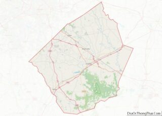
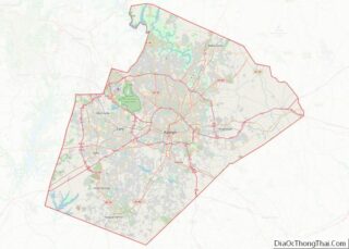
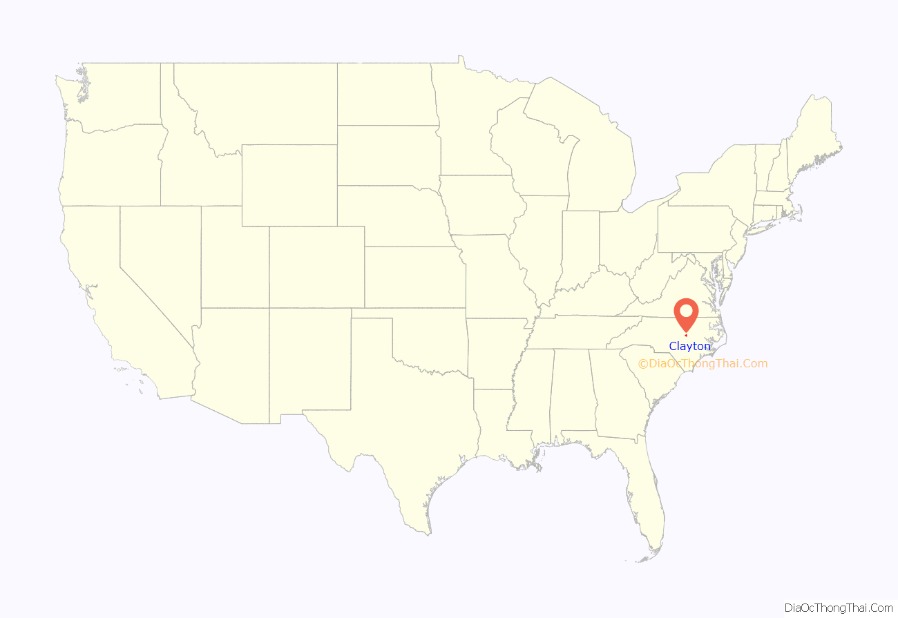
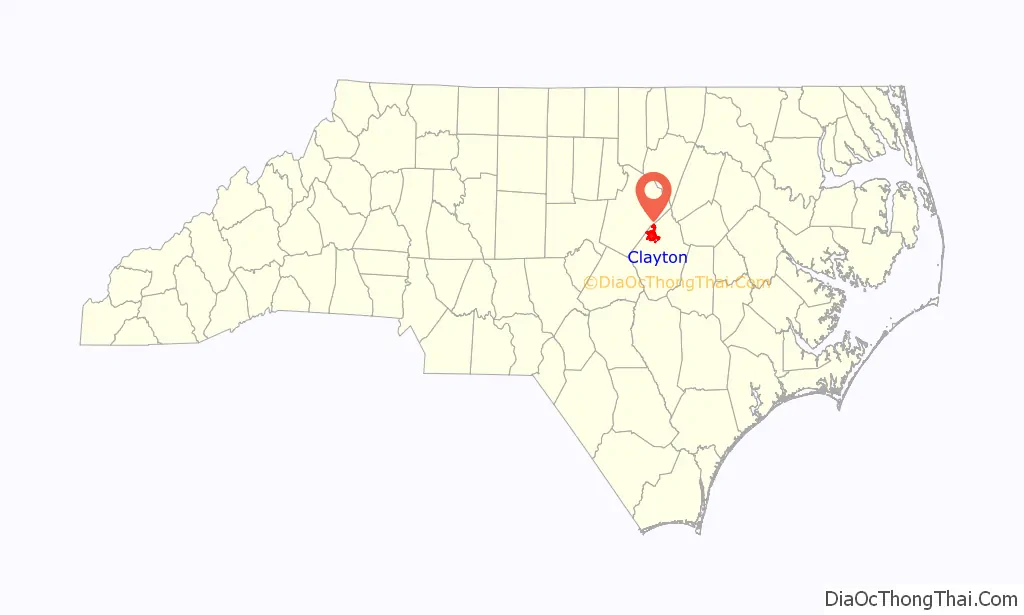
Clayton location map. Where is Clayton town?
History
The Clayton Banking Company Building, Clayton Graded School and Clayton Grammar School-Municipal Auditorium, Clayton Historic District, Cleveland School, Ellington-Ellis Farm, Walter R. and Eliza Smith Moore House, Sanders-Hairr House, and Stallings-Carpenter House are listed on the National Register of Historic Places.
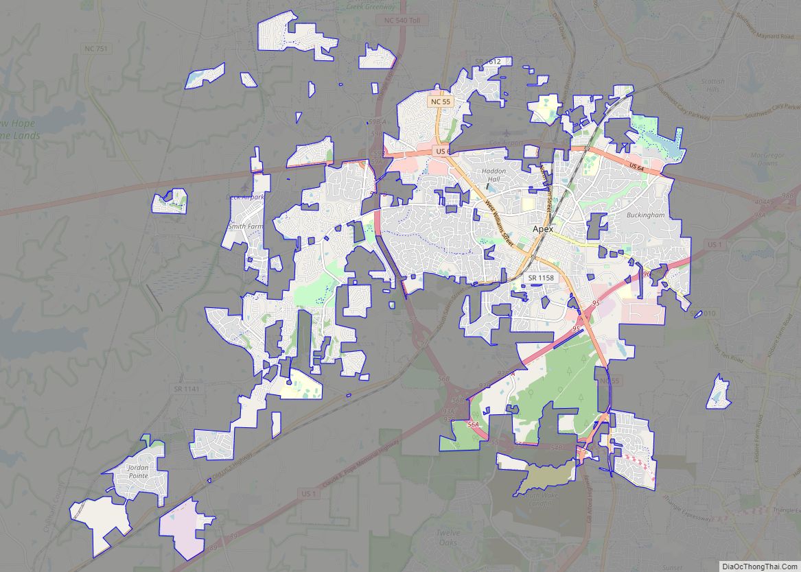
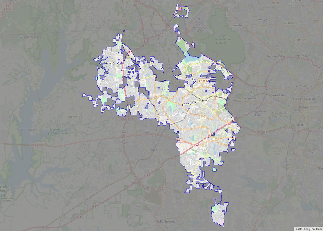
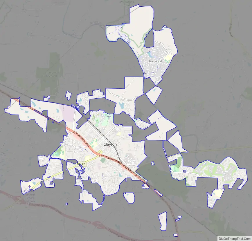
Clayton Road Map
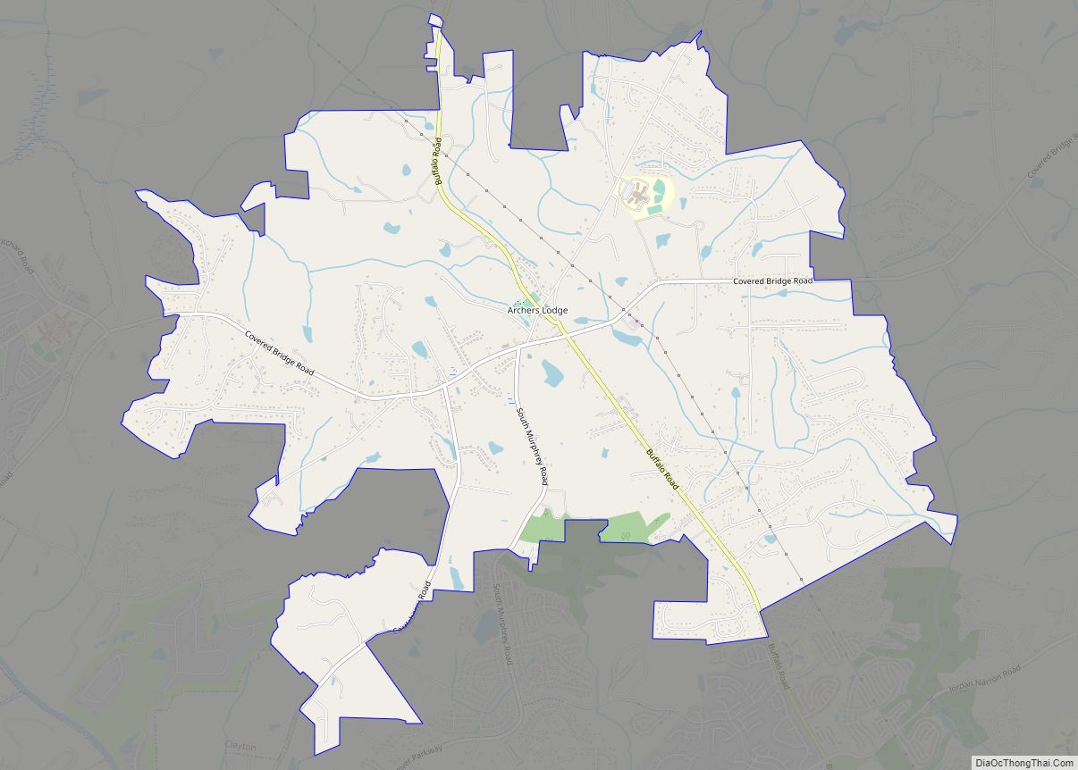
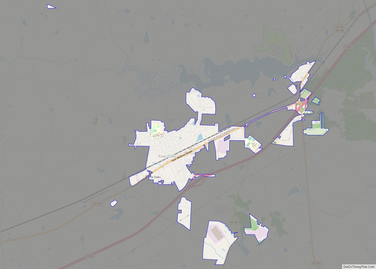
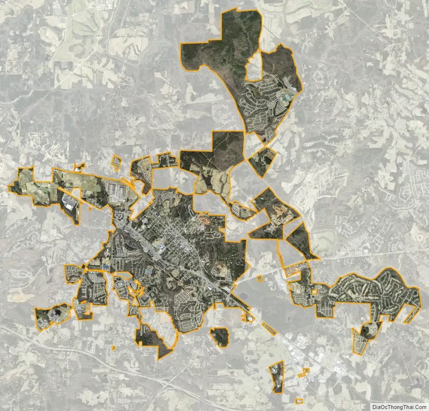
Clayton city Satellite Map
Geography
Clayton is in northern Johnston County, with a small portion extending northwest along US 70 Business into Wake County. In 2006, construction began on the Highway 70 Clayton Bypass, a 10.5-mile (16.9 km) stretch from Interstate 40 along the southern portion of Clayton to Highway 70 business southeast of town. It was completed in June 2008. US 70 leads southeast 13 miles (21 km) to Interstate 95 at Smithfield. Downtown Raleigh is 16 miles (26 km) northwest of Clayton via US 70 Business and Interstate 40. Many local unincorporated communities outside of the town limits use Clayton mailing addresses, including Cleveland, Powhatan, and Flowers.
According to the U.S. Census Bureau, as of the 2010 census the town had an area of 13.53 square miles (35.05 km), of which 13.51 square miles (34.99 km) were land and 0.02 square miles (0.06 km), or 0.16%, were water. The town is part of the Neuse River watershed. The town limits now extend northeast to the Neuse River and beyond.
Town Hall is located at 111 East Second Street and is shared with The Clayton Center, a performing arts and conference center.
Climate
According to the Köppen Climate Classification system, Clayton has a humid subtropical climate, abbreviated “Cfa” on climate maps. The hottest temperature recorded in Clayton was 107 °F (41.7 °C) on August 18, 1988, while the coldest temperature recorded was −10 °F (−23.3 °C) on January 21, 1985.
See also
Map of North Carolina State and its subdivision:- Alamance
- Alexander
- Alleghany
- Anson
- Ashe
- Avery
- Beaufort
- Bertie
- Bladen
- Brunswick
- Buncombe
- Burke
- Cabarrus
- Caldwell
- Camden
- Carteret
- Caswell
- Catawba
- Chatham
- Cherokee
- Chowan
- Clay
- Cleveland
- Columbus
- Craven
- Cumberland
- Currituck
- Dare
- Davidson
- Davie
- Duplin
- Durham
- Edgecombe
- Forsyth
- Franklin
- Gaston
- Gates
- Graham
- Granville
- Greene
- Guilford
- Halifax
- Harnett
- Haywood
- Henderson
- Hertford
- Hoke
- Hyde
- Iredell
- Jackson
- Johnston
- Jones
- Lee
- Lenoir
- Lincoln
- Macon
- Madison
- Martin
- McDowell
- Mecklenburg
- Mitchell
- Montgomery
- Moore
- Nash
- New Hanover
- Northampton
- Onslow
- Orange
- Pamlico
- Pasquotank
- Pender
- Perquimans
- Person
- Pitt
- Polk
- Randolph
- Richmond
- Robeson
- Rockingham
- Rowan
- Rutherford
- Sampson
- Scotland
- Stanly
- Stokes
- Surry
- Swain
- Transylvania
- Tyrrell
- Union
- Vance
- Wake
- Warren
- Washington
- Watauga
- Wayne
- Wilkes
- Wilson
- Yadkin
- Yancey
- Alabama
- Alaska
- Arizona
- Arkansas
- California
- Colorado
- Connecticut
- Delaware
- District of Columbia
- Florida
- Georgia
- Hawaii
- Idaho
- Illinois
- Indiana
- Iowa
- Kansas
- Kentucky
- Louisiana
- Maine
- Maryland
- Massachusetts
- Michigan
- Minnesota
- Mississippi
- Missouri
- Montana
- Nebraska
- Nevada
- New Hampshire
- New Jersey
- New Mexico
- New York
- North Carolina
- North Dakota
- Ohio
- Oklahoma
- Oregon
- Pennsylvania
- Rhode Island
- South Carolina
- South Dakota
- Tennessee
- Texas
- Utah
- Vermont
- Virginia
- Washington
- West Virginia
- Wisconsin
- Wyoming