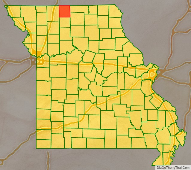
Mercer County is a county located in the northwestern portion of the U.S. state of Missouri. As of the 2020 census, the population was 3,538. making it the second-least populous county in Missouri. Its county seat is Princeton. The county was organized February 14, 1845 and named for General John F. Mercer of the Revolutionary War.
| Name: | Mercer County |
|---|---|
| FIPS code: | 29-129 |
| State: | Missouri |
| Founded: | February 14, 1845 |
| Named for: | John Francis Mercer |
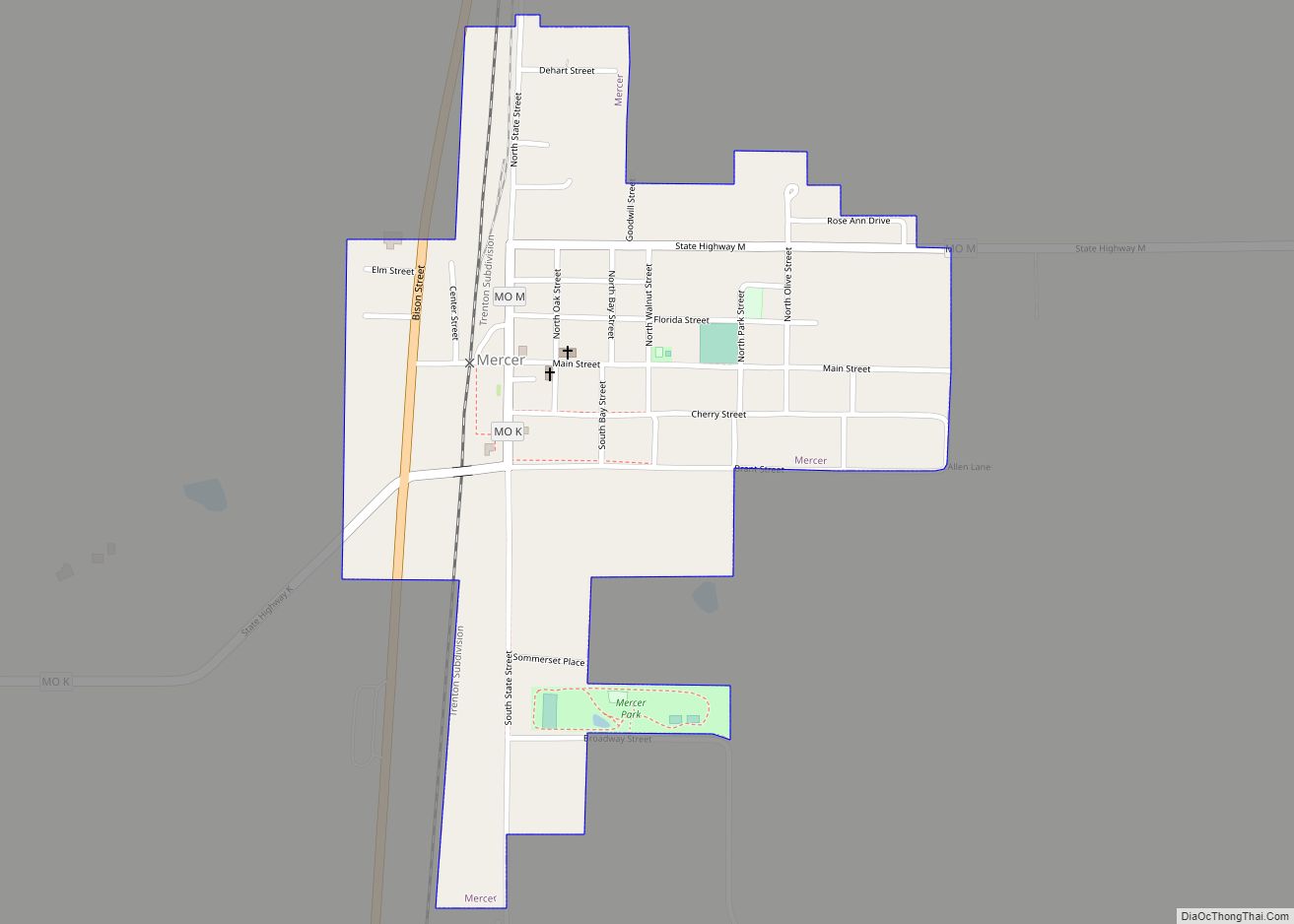
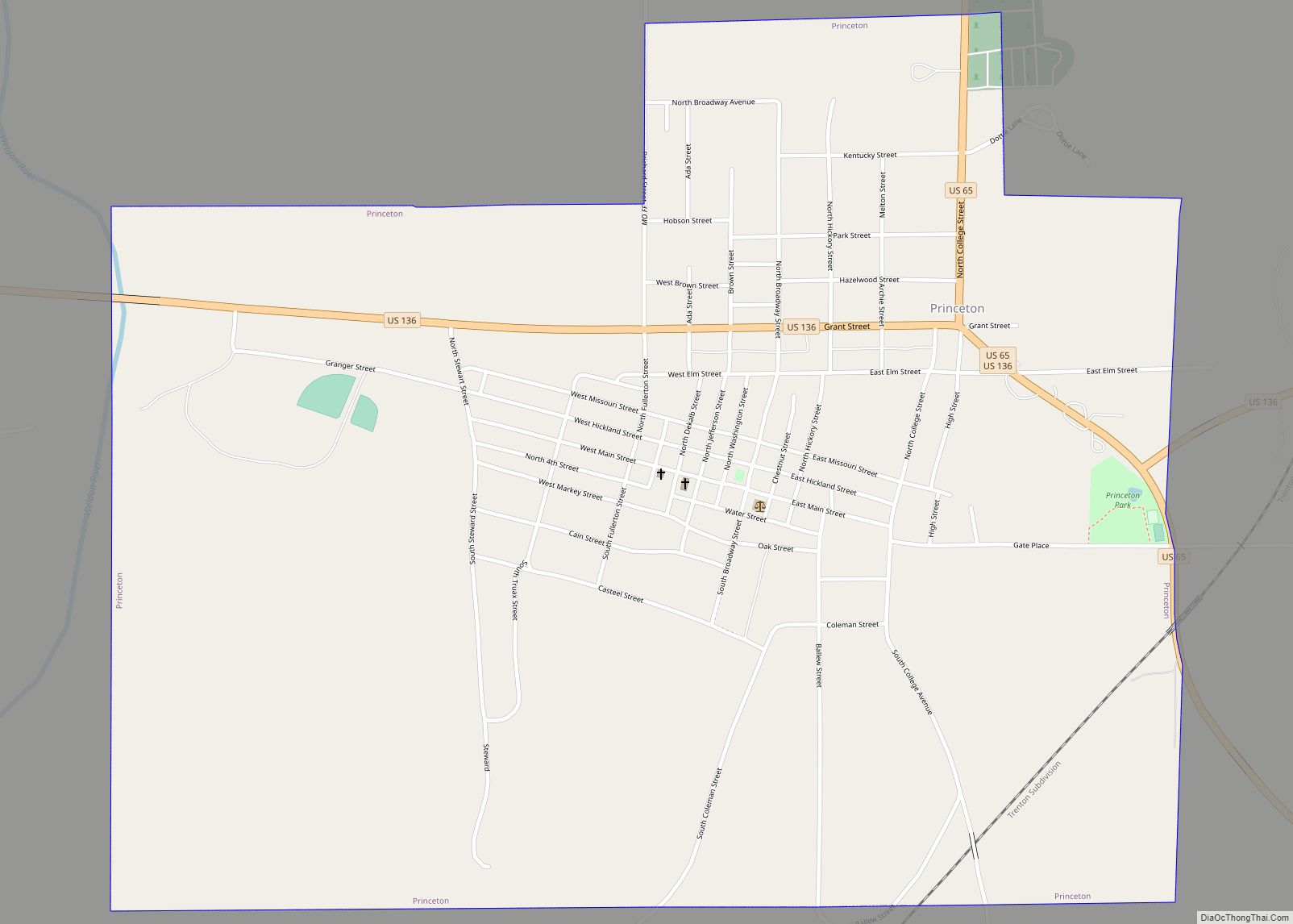
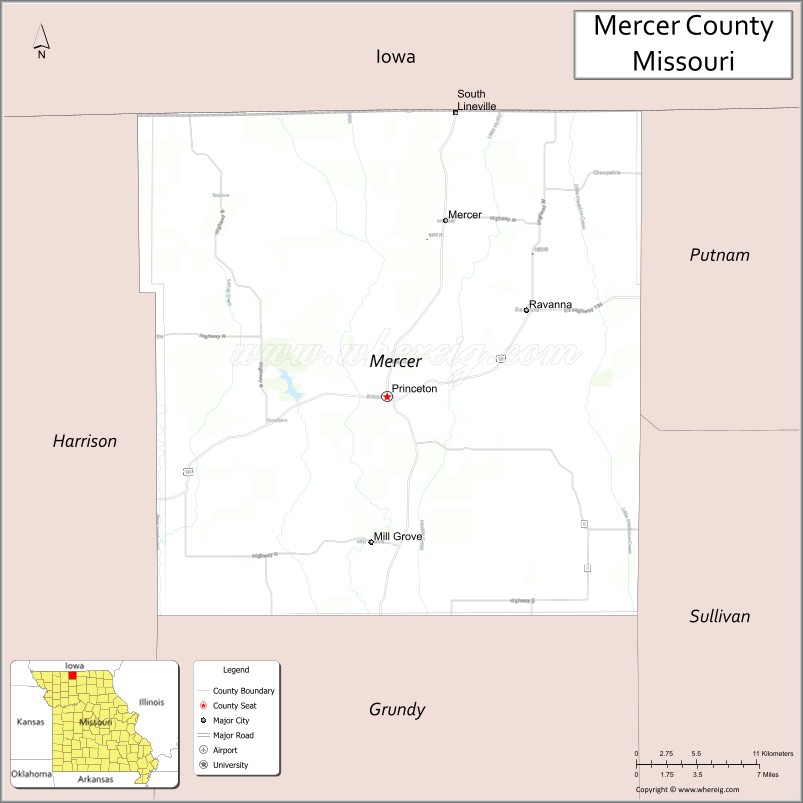
| Seat: | Princeton |
| Largest city: | Princeton |
| Total Area: | 455 sq mi (1,180 km²) |
| Land Area: | 454 sq mi (1,180 km²) |
| Total Population: | 3,538 |
| Population Density: | 7.8/sq mi (3.0/km²) |
| Time zone: | UTC−6 (Central) |
| Summer Time Zone (DST): | UTC−5 (CDT) |
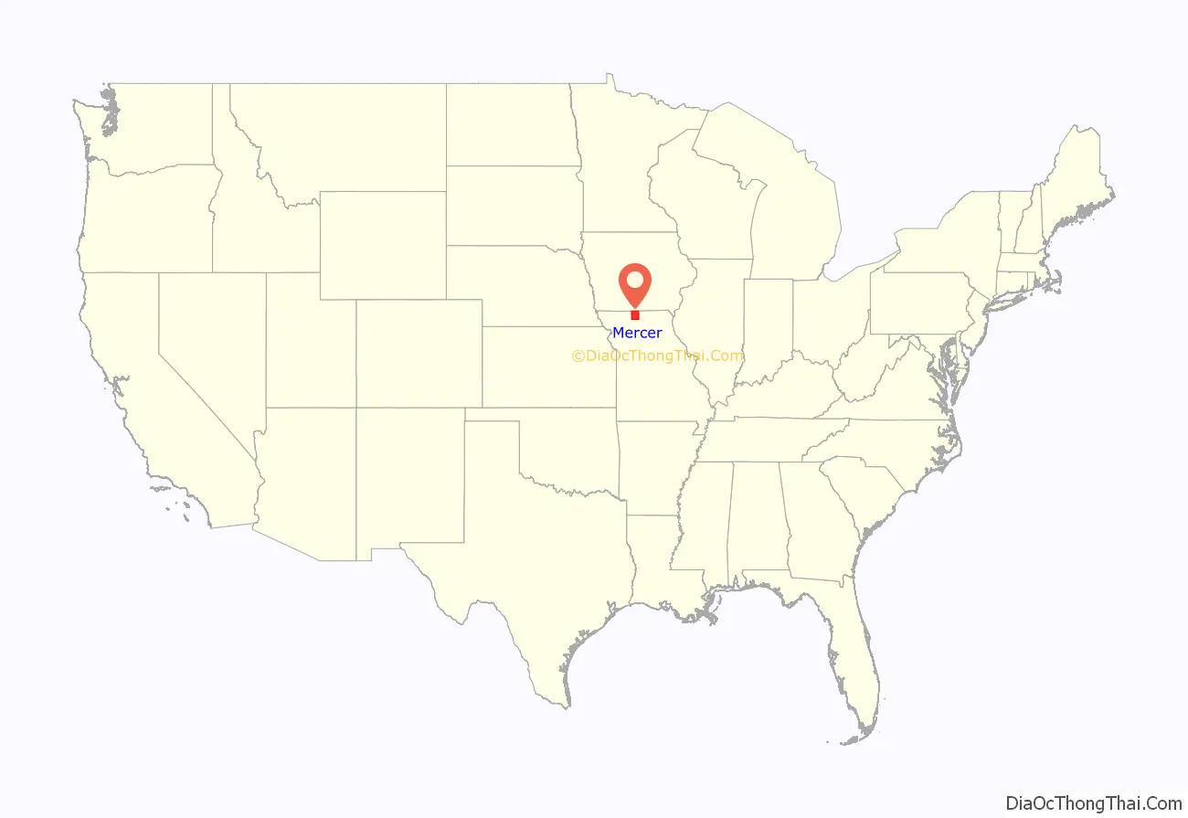
Mercer County location map. Where is Mercer County?
History
Early years
Mercer County was organized February 14, 1845, from part of Grundy County. It is named in honor of General Hugh Mercer, who fought and died in the American Revolutionary War. The first permanent settlements in what is now Mercer County were in 1837, when a few families from other parts of Missouri moved to the area. James Parsons, a Tennessee native, is generally considered to be the first permanent settler, in the spring of 1837. The land was still included as part of Livingston County at that time and would remain so until 1841 when it would become part of the newly created Grundy County. Prior to 1837, the land was used by Native American tribes, primarily the Sac/Fox and Potawatomi, as prime hunting grounds. The occasional temporary hunting village would be established by the tribes; otherwise, the land was devoid of humans. The town of Princeton, named for the battle where General Mercer was killed, was established as the county seat in 1847. The northern boundary of the county was in dispute for the first six years of its existence due to the Honey War, a bloodless territorial dispute between Missouri and Iowa. The boundary was 9.5 miles farther north than present day prior to an 1851 decision by the U.S. Supreme Court.
Civil War
Mercer County, like its neighbor to the east Putnam County, was a staunch supporter of the Union. Most county residents had roots in northern U.S. states “back east” like Pennsylvania, Ohio, and Indiana, and did not have the strong slave-holding tradition of other northern Missouri counties like Macon, Audrain, and Monroe (commonly referred to as Little Dixie), whose population largely emigrated from Southern states. In the 1860 U.S. Census, only 12 Mercer County families were listed as slave owners, with a combined total of 24 slaves. Fewer than 20 Mercer County men fought for the Confederacy, while well over 1,000 volunteered for Union service. Among the units containing men from Mercer County were the 23rd, 27th and 35th Regiments, the 2nd and 12th Cavalry, the 5th Kansas Cavalry, and various smaller units of the Missouri State Militia. The 44th Missouri Infantry (USA), consisting of men from Mercer, Grundy, Sullivan, and other northwest Missouri counties, served a pivotal role in the Union victory at the Battle of Franklin, TN, on November 30, 1864.
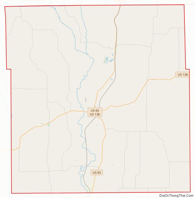
Mercer County Road Map
Geography
According to the U.S. Census Bureau, the county has a total area of 455 square miles (1,180 km), of which 454 square miles (1,180 km) is land and 1.3 square miles (3.4 km) (0.3%) is water.
Adjacent counties
- Decatur County, Iowa (northwest)
- Wayne County, Iowa (north)
- Putnam County (east)
- Sullivan County (southeast)
- Grundy County (south)
- Harrison County (west)
Major highways
- U.S. Route 65
- U.S. Route 136
Mercer County Topographic Map

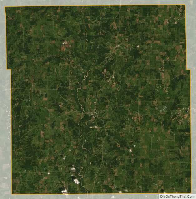
Mercer County Satellite Map
Mercer County Outline Map