Princeton is the county seat and largest city of Mercer County, Missouri, United States. The population was 1,007 at the 2020 census, down from the 2010 census, which counted 1,166 people. Princeton, Missouri was also the birthplace of the famous frontierswoman Calamity Jane.
| Name: | Princeton city |
|---|---|
| LSAD Code: | 25 |
| LSAD Description: | city (suffix) |
| State: | Missouri |
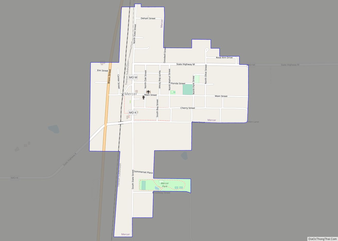
| County: | Mercer County |
| Elevation: | 899 ft (274 m) |
| Total Area: | 1.60 sq mi (4.15 km²) |
| Land Area: | 1.59 sq mi (4.12 km²) |
| Water Area: | 0.01 sq mi (0.03 km²) |
| Total Population: | 1,007 |
| Population Density: | 633.73/sq mi (244.71/km²) |
| ZIP code: | 64673 |
| Area code: | 660 |
| FIPS code: | 2959942 |
| GNISfeature ID: | 2396281 |
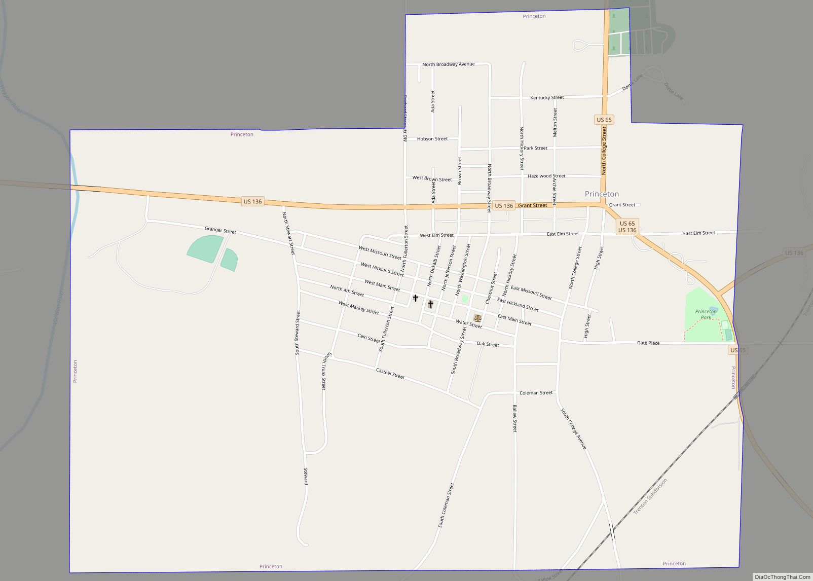
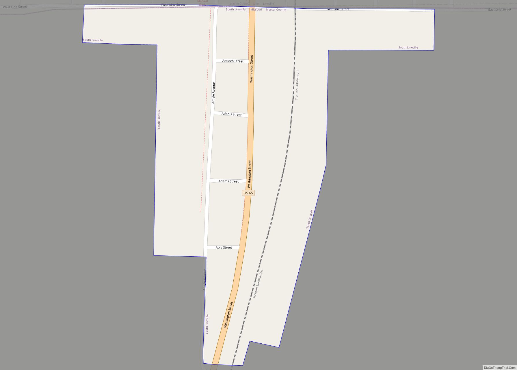
Online Interactive Map
Click on ![]() to view map in "full screen" mode.
to view map in "full screen" mode.
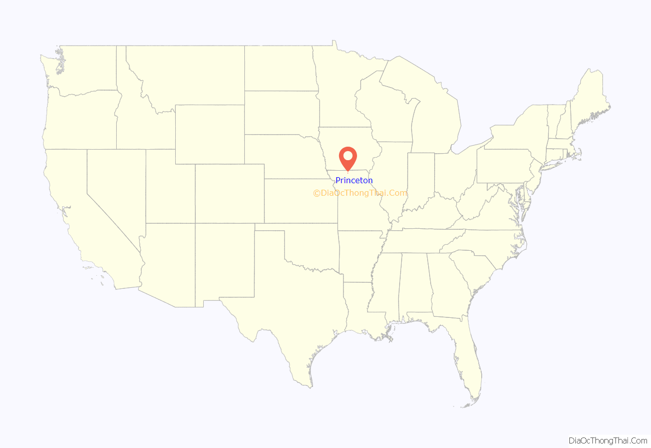
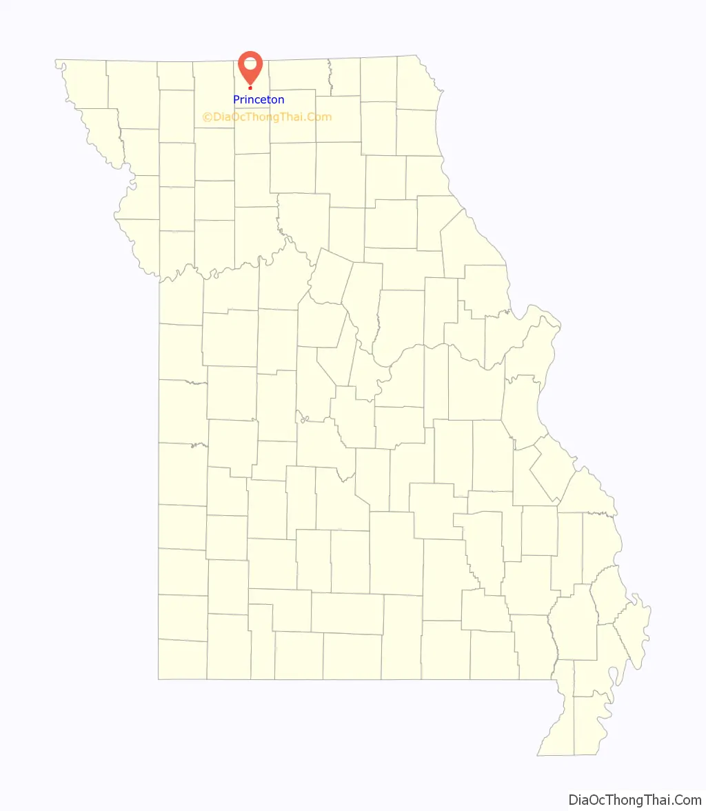
Princeton location map. Where is Princeton city?
History
Princeton was platted in 1846. The city was named in commemoration of the Battle of Princeton in the American Revolutionary War. A post office has been in operation at Princeton since 1846.
The Herbert Cain and Corah Brantley Casteel House and Leo Ellis Post No. 22, American Legion Building are listed on the National Register of Historic Places.
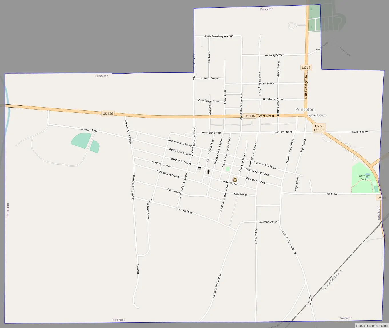
Princeton Road Map
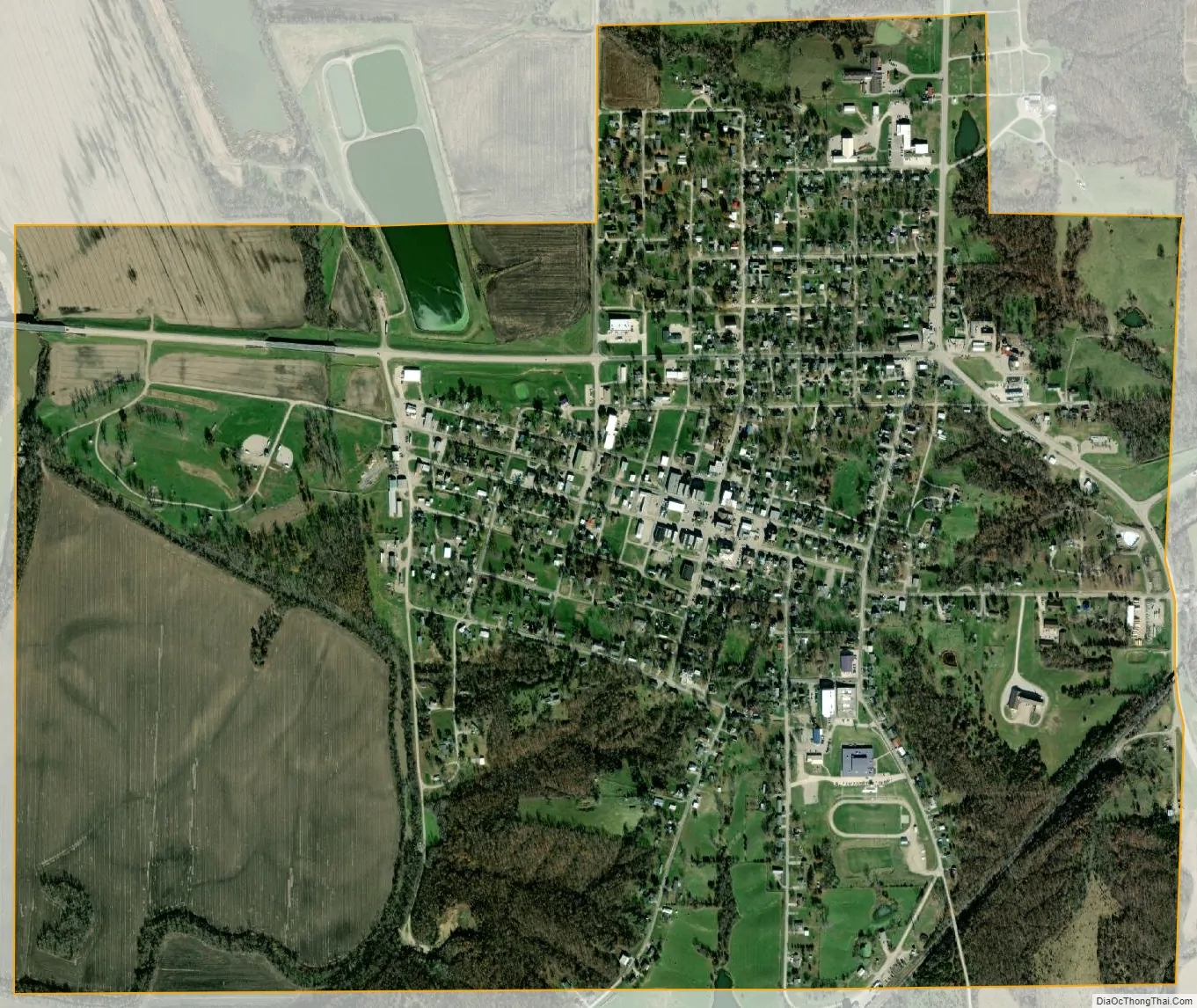
Princeton city Satellite Map
Geography
According to the United States Census Bureau, the city has a total area of 1.60 square miles (4.14 km), of which 1.59 square miles (4.12 km) is land and 0.01 square miles (0.03 km) is water.
Climate
Princeton has a hot-summer humid continental climate (Köppen Dfa). Summers are often hot and humid whereas winters are dry with days averaging above freezing in all months, which means sparse snow cover in spite of the cold overnight temperatures. Being far inland, the temperatures amplitude is large with an all-time range of 139 °F (77 °C).
See also
Map of Missouri State and its subdivision:- Adair
- Andrew
- Atchison
- Audrain
- Barry
- Barton
- Bates
- Benton
- Bollinger
- Boone
- Buchanan
- Butler
- Caldwell
- Callaway
- Camden
- Cape Girardeau
- Carroll
- Carter
- Cass
- Cedar
- Chariton
- Christian
- Clark
- Clay
- Clinton
- Cole
- Cooper
- Crawford
- Dade
- Dallas
- Daviess
- De Kalb
- Dent
- Douglas
- Dunklin
- Franklin
- Gasconade
- Gentry
- Greene
- Grundy
- Harrison
- Henry
- Hickory
- Holt
- Howard
- Howell
- Iron
- Jackson
- Jasper
- Jefferson
- Johnson
- Knox
- Laclede
- Lafayette
- Lawrence
- Lewis
- Lincoln
- Linn
- Livingston
- Macon
- Madison
- Maries
- Marion
- McDonald
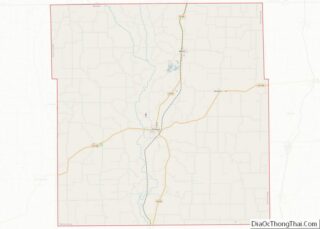
- Mercer
- Miller
- Mississippi
- Moniteau
- Monroe
- Montgomery
- Morgan
- New Madrid
- Newton
- Nodaway
- Oregon
- Osage
- Ozark
- Pemiscot
- Perry
- Pettis
- Phelps
- Pike
- Platte
- Polk
- Pulaski
- Putnam
- Ralls
- Randolph
- Ray
- Reynolds
- Ripley
- Saint Charles
- Saint Clair
- Saint Francois
- Saint Louis
- Sainte Genevieve
- Saline
- Schuyler
- Scotland
- Scott
- Shannon
- Shelby
- Stoddard
- Stone
- Sullivan
- Taney
- Texas
- Vernon
- Warren
- Washington
- Wayne
- Webster
- Worth
- Wright
- Alabama
- Alaska
- Arizona
- Arkansas
- California
- Colorado
- Connecticut
- Delaware
- District of Columbia
- Florida
- Georgia
- Hawaii
- Idaho
- Illinois
- Indiana
- Iowa
- Kansas
- Kentucky
- Louisiana
- Maine
- Maryland
- Massachusetts
- Michigan
- Minnesota
- Mississippi
- Missouri
- Montana
- Nebraska
- Nevada
- New Hampshire
- New Jersey
- New Mexico
- New York
- North Carolina
- North Dakota
- Ohio
- Oklahoma
- Oregon
- Pennsylvania
- Rhode Island
- South Carolina
- South Dakota
- Tennessee
- Texas
- Utah
- Vermont
- Virginia
- Washington
- West Virginia
- Wisconsin
- Wyoming