Scott County is a county located in the southwestern part of the U.S. state of Virginia. As of the 2020 census, the population was 21,576. Its county seat is Gate City. Scott County was formed by an act of the General Assembly on November 24, 1814, from parts of Washington, Lee, and Russell Counties and was named for Virginia born General Winfield Scott. Scott County is part of the Kingsport–Bristol–Bristol, TN-VA Metropolitan Statistical Area, which is a component of the Johnson City–Kingsport–Bristol, TN-VA Combined Statistical Area, commonly known as the “Tri-Cities” region. The County Administrator is Freda Russell Starnes.
| Name: | Scott County |
|---|---|
| FIPS code: | 51-169 |
| State: | Virginia |
| Founded: | November 24, 1814 |
| Named for: | Winfield Scott |
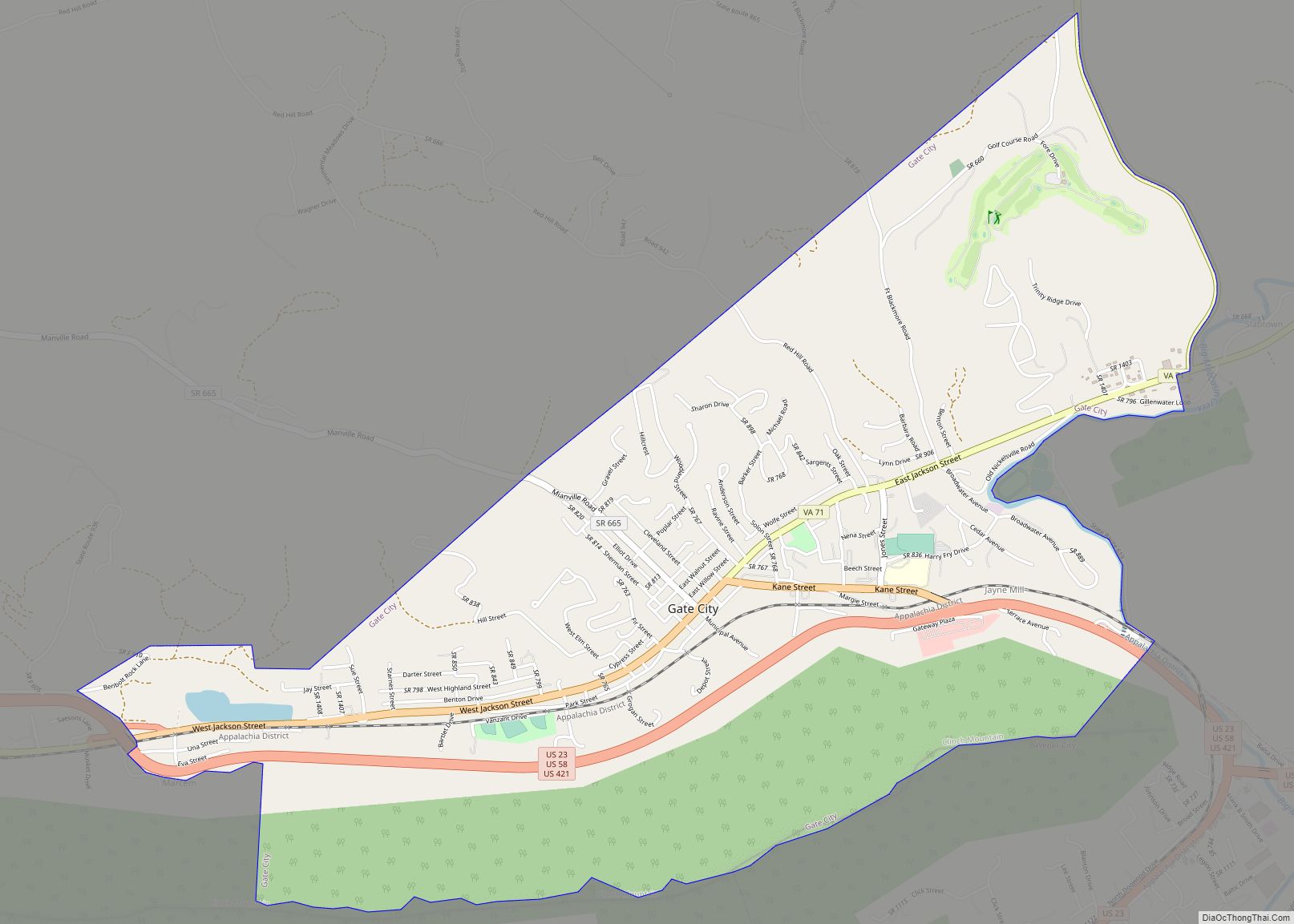
| Seat: | Gate City |
| Largest town: | Gate City |
| Total Area: | 539 sq mi (1,400 km²) |
| Land Area: | 536 sq mi (1,390 km²) |
| Total Population: | 21,576 |
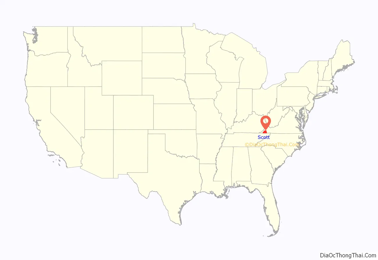
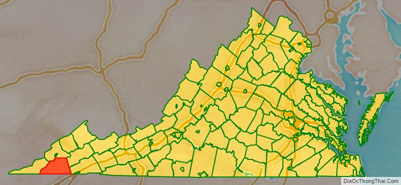
Scott County location map. Where is Scott County?
History
The early settlers found evidence of a former native village at the mouth of Stony Creek on the Clinch river. Thomas McCulloch was the first white settler within the county, in 1769. Daniel Boone commanded several forts located here in 1774 during Dunmore’s War, and several more were built in successive years.
Even so, the Chickamauga Cherokee leader Bob Benge remained active in the area throughout this time, during the Cherokee–American wars, up until he was killed in 1794. By the time houses were built in the 1790s, the largely Scots-Irish population had increased by reason of its situation along the Wilderness Road. After Scott County was formed in 1814, the first court took place in 1815, and the first public schools in 1870.
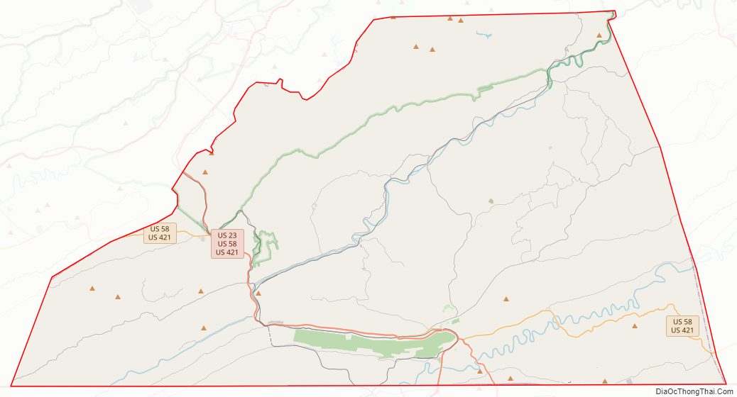
Scott County Road Map
Geography
According to the U.S. Census Bureau, the county has a total area of 539 square miles (1,400 km), of which 536 square miles (1,390 km) is land and 3.1 square miles (8.0 km) (0.6%) is water.
Adjacent counties
- Wise County – north
- Russell County – northeast
- Washington County – east
- Sullivan County, Tennessee – south
- Hawkins County, Tennessee – south
- Hancock County, Tennessee – southwest
- Lee County – west
National protected area
- Jefferson National Forest (part)
Major highways
- US 23
- US 58
- US 421
- SR 65
- SR 71
- SR 72
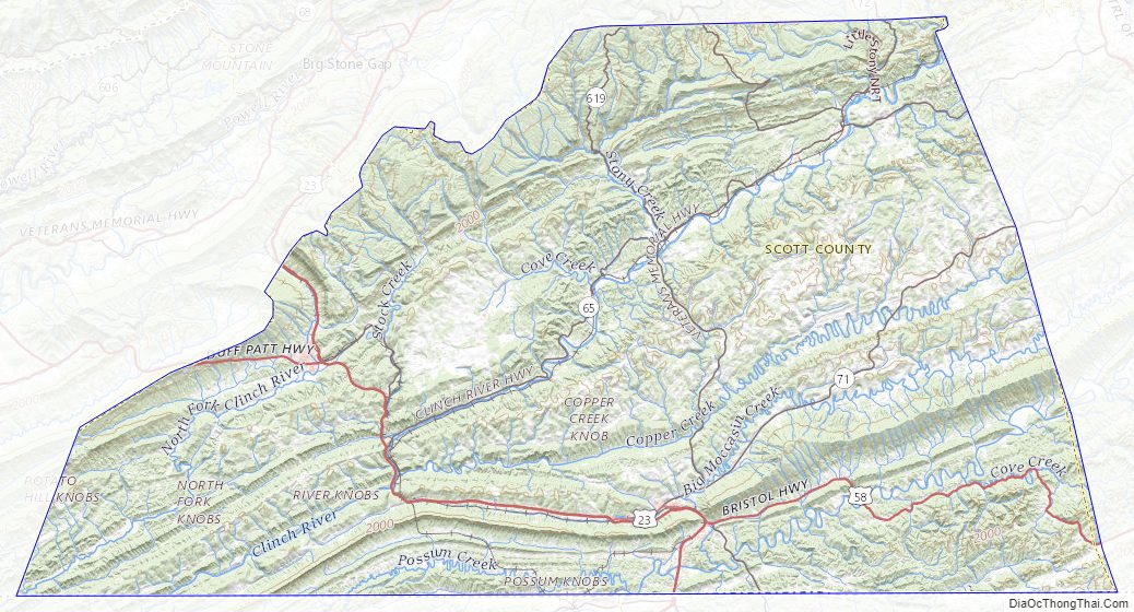
Scott County Topographic Map
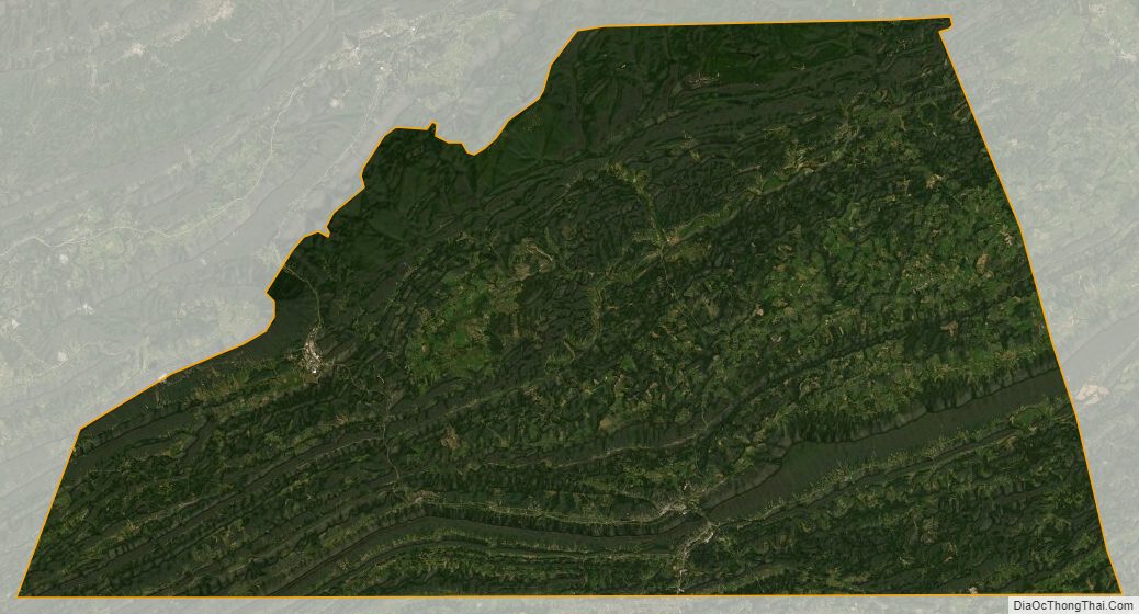
Scott County Satellite Map
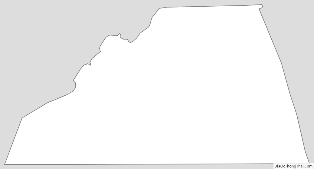
Scott County Outline Map