Washington County is a county located in the Commonwealth of Virginia. As of the 2020 census, the population was 53,935. Its county seat is Abingdon.
Washington County is part of the Kingsport–Bristol–Bristol, TN-VA Metropolitan Statistical Area, which is a component of the Johnson City–Kingsport–Bristol, TN-VA Combined Statistical Area, commonly known as the “Tri-Cities” region.
| Name: | Washington County |
|---|---|
| FIPS code: | 51-191 |
| State: | Virginia |
| Founded: | 1776 |
| Named for: | George Washington |
| Seat: | Abingdon |
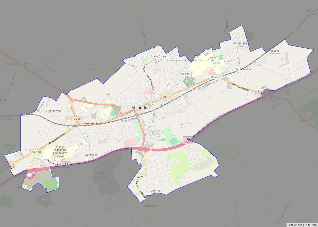
| Largest town: | Abingdon |
| Total Area: | 566 sq mi (1,470 km²) |
| Land Area: | 561 sq mi (1,450 km²) |
| Total Population: | 53,935 |
| Population Density: | 95/sq mi (37/km²) |
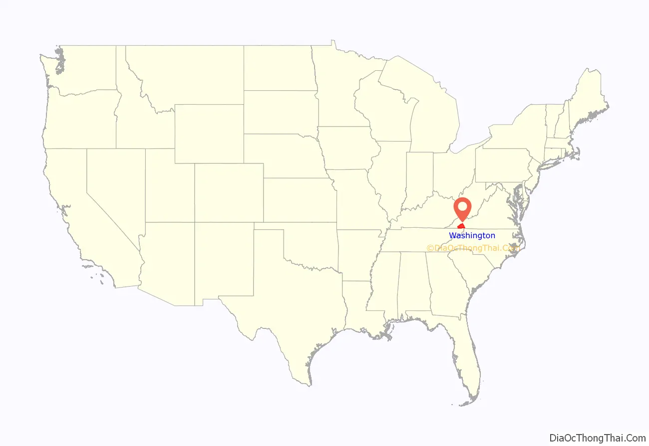
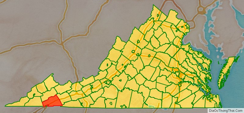
Washington County location map. Where is Washington County?
History
For thousands of years, indigenous peoples of varying cultures lived in the area. At the time of European encounter, the Chiska had a chief village near what is now Saltville, destroyed by the Spaniards in 1568. The Cherokee annexed the region from the Xualae around 1671, and ceded it to the Virginia Colony in 1770 at the Treaty of Lochaber.
The county was formed by Virginians in 1776 from Fincastle County. It was named for George Washington, who was then commander-in-chief of the Continental Army. Washington County is among the first geographical regions to be named after the president of the United States.
Washington County was raided by the Chickamauga Cherokee during the Cherokee–American wars. In July, 1776, Chief Dragging Canoe led an attack on Black’s Fort (renamed Abingdon in 1778). The area remained prone to attack until after Chickamauga leader Bob Benge was finally slain by settlers in Washington County in 1794.
As with many other frontier counties, the boundaries and territory changed over the years. In 1786 the northwestern part of Washington County became Russell County. In 1814 the western part of what remained of Washington County was combined with parts of Lee and Russell counties to form Scott County. In 1832 the northeastern part of Washington was combined with part of Wythe County to form Smyth County. Finally, with the incorporation of the town of Goodson as the independent city of Bristol in 1890, Washington County assumed its present size.
Washington County Road Map
Geography
According to the U.S. Census Bureau, the county has a total area of 566 square miles (1,470 km), of which 561 square miles (1,450 km) is land and 5 square miles (13 km) (0.9%) is water.
Districts
The county is divided into seven magisterial districts: Harrison, Jefferson, Madison, Monroe, Taylor, Tyler, and Wilson.
Adjacent counties
- Smyth County – northeast
- Grayson County – east-southeast
- Johnson County, Tennessee – south
- Sullivan County, Tennessee – southwest
- Bristol (City) – southwest
- Scott County – west
- Russell County – northwest
National protected areas
- Jefferson National Forest (part)
- Mount Rogers National Recreation Area (part)
Major highways
- I-81
- US 11
- US 19
- US 58
- US 58 Alt.
- US 421
- SR 75
- SR 80
- SR 91
- SR 617
- SR 625
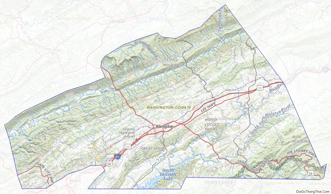
Washington County Topographic Map
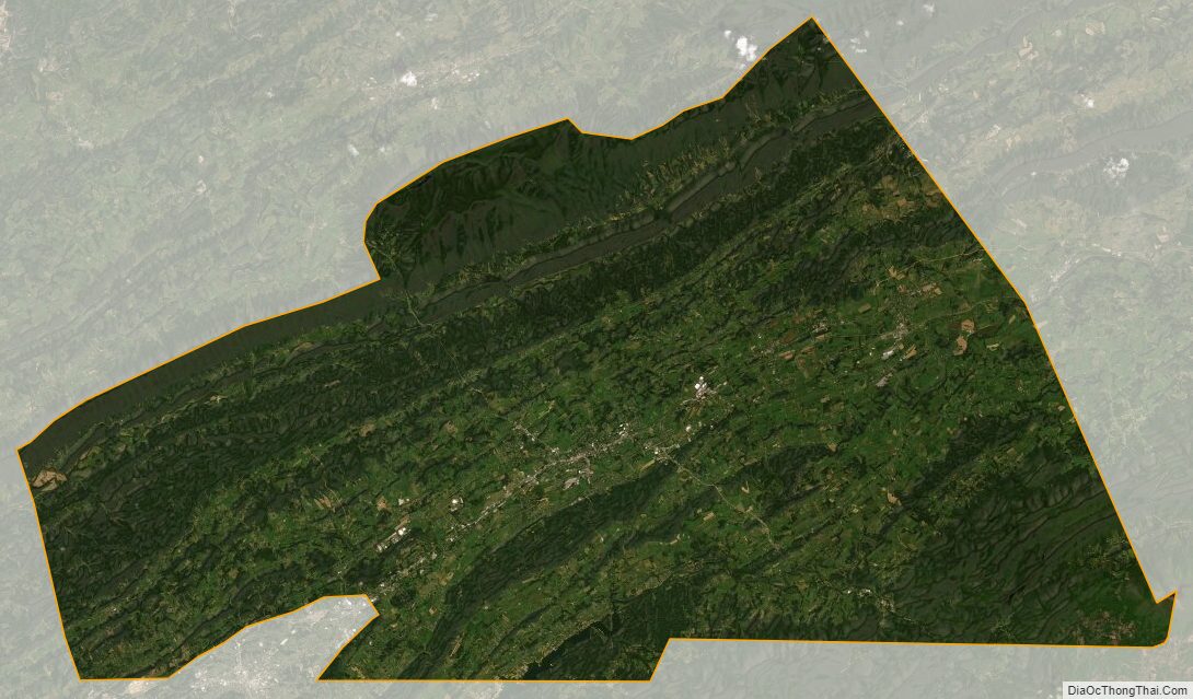
Washington County Satellite Map
Washington County Outline Map