Attleboro is a city in Bristol County, Massachusetts, United States. It was once known as “The Jewelry Capital of the World” for its many jewelry manufacturers. According to the 2020 census, Attleboro had a population of 46,461.
| Name: | Attleboro city |
|---|---|
| LSAD Code: | 25 |
| LSAD Description: | city (suffix) |
| State: | Massachusetts |
| County: | Bristol County |
| Incorporated: | 1694 (town) |
| Elevation: | 138 ft (42 m) |
| Total Area: | 27.77 sq mi (71.93 km²) |
| Land Area: | 26.78 sq mi (69.36 km²) |
| Water Area: | 0.99 sq mi (2.57 km²) |
| Total Population: | 46,461 |
| Population Density: | 1,734.98/sq mi (669.87/km²) |
| ZIP code: | 02703 |
| Area code: | 508 / 774 |
| FIPS code: | 2502690 |
| GNISfeature ID: | 0612033 |
| Website: | www.cityofattleboro.us |
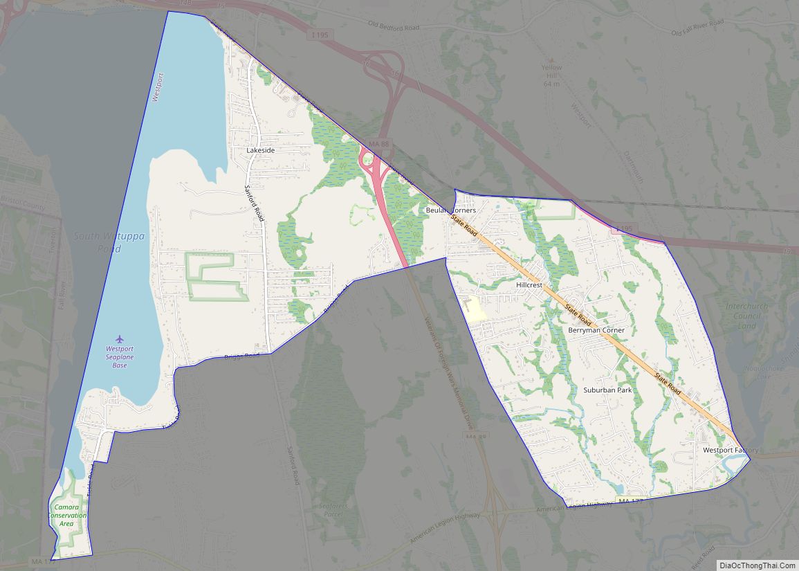
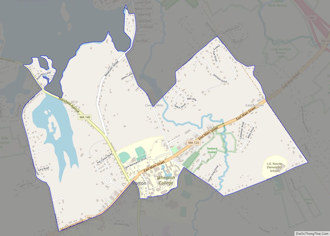
Online Interactive Map
Click on ![]() to view map in "full screen" mode.
to view map in "full screen" mode.
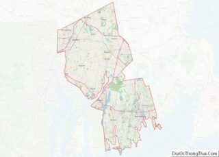
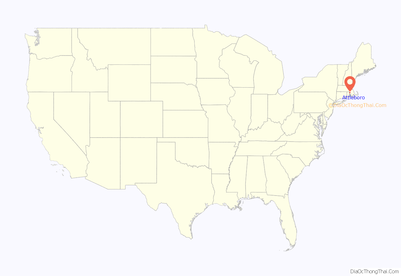
Attleboro location map. Where is Attleboro city?

History
In 1634, English settlers first arrived in the territory that is now Attleboro. The deed that granted them the land was written by Native American Wamsutta. The land was divided in 1694 as the town of Attleborough. It included the towns of Cumberland, Rhode Island, until 1747 and North Attleborough, Massachusetts, until 1887. In 1697 in response to an unwanted amount of disturbances, mainly from nearby tribes of natives, the town had a meeting and ended up deciding that selectmen would keep tabs on strangers and foreigners as well as banning certain ones from entering the town. The town was reincorporated in 1914 as the City of Attleboro, with the “-ugh” removed from the name, although North Attleborough kept it. Like many towns in Massachusetts, it was named for a British town.
During the Native American insurgency in the colonial era, Nathaniel Woodcock, the son of an Attleborough resident, was murdered, and his head was placed on a pole in his father’s front yard. His father’s house is now a historical site. It is rumored that George Washington once passed through Attleborough and stayed near the Woodcock Garrison House at the Hatch Tavern, where he exchanged a shoe buckle with Israel Hatch, a revolutionary soldier and the new owner of the Garrison House.
The city became known for jewelry manufacturing in 1913, particularly because of the L.G. Balfour Company. That company has since moved out of the city, and the site of the former plant has been converted into a riverfront park. Attleboro was once known as “The Jewelry Capital of the World”, and jewelry manufacturing firms continue to operate there. One such is the Guyot Brothers Company, which was started in 1904. General Findings, M.S. Company, James A. Murphy Co., Garlan Chain, Leach & Garner, and Masters of Design are jewelry manufacturing companies still in operation.
Cancer cluster
In late 2003, The Sun Chronicle reported that a state investigation had been launched into the deaths of four women in the city from glioblastoma. In 2007, the State of Massachusetts issued a report concluding that although the diagnosis rate for brain and central nervous system (CNS) cancers was higher than expected when compared to statewide data, the increase was determined not to be statistically significant.
Scorecard, Environmental Defense’s online database of polluters, lists seven facilities contributing to cancer hazards in Attleboro, including Engineered Materials Solutions Inc., the worst offender in Massachusetts.
In 2002, the Massachusetts Public Health Department was asked to evaluate the former Shpack Landfill, on the border of Norton and Attleboro, for its cancer risks. The investigation continued at least through 2004. The informal landfill included uranium fuel rods, heavy metals, and volatile organic compounds.
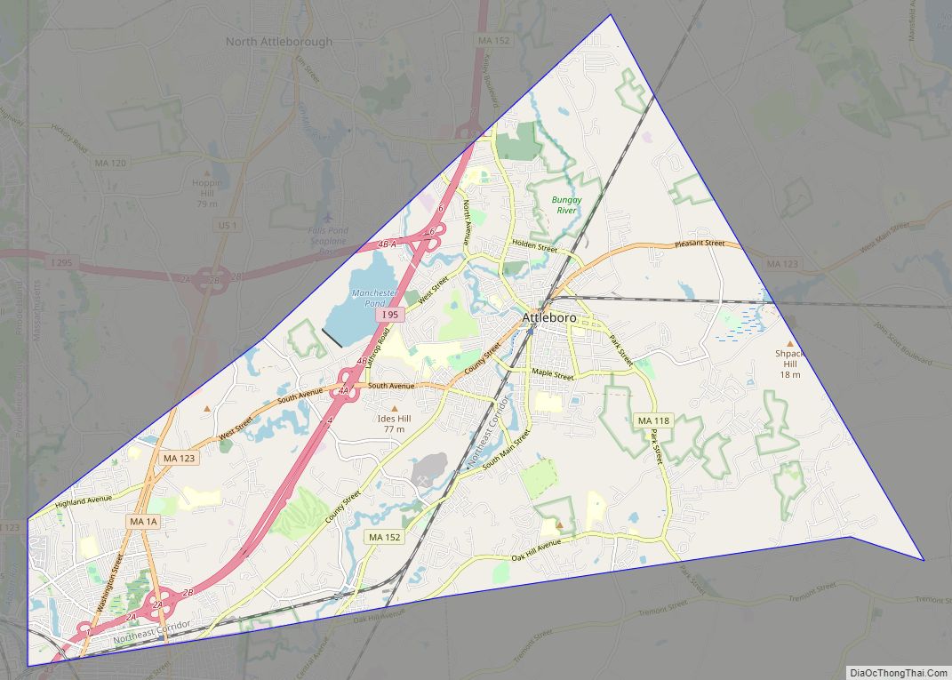
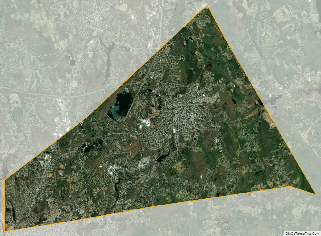
Attleboro Road Map

Attleboro city Satellite Map
Geography
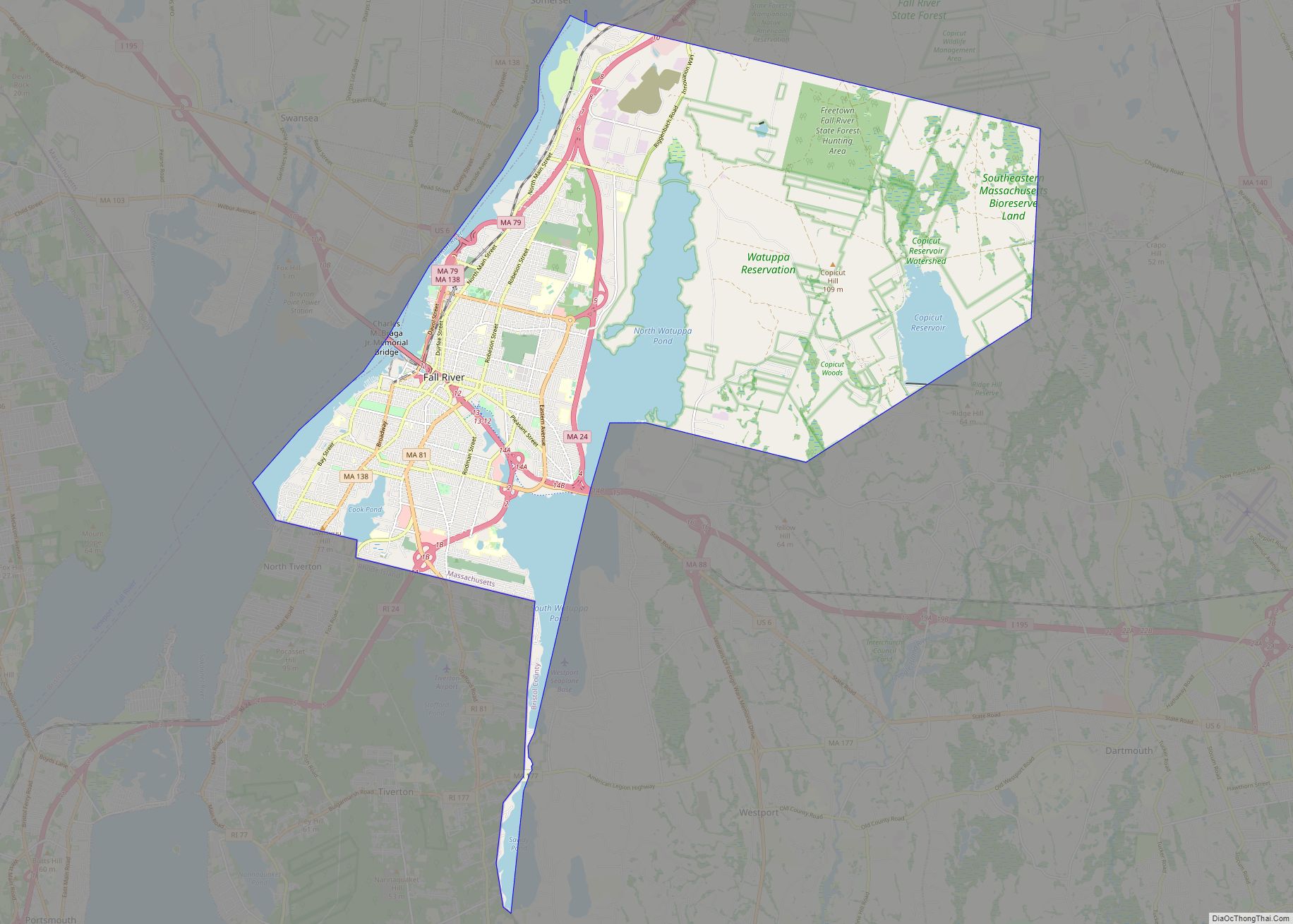
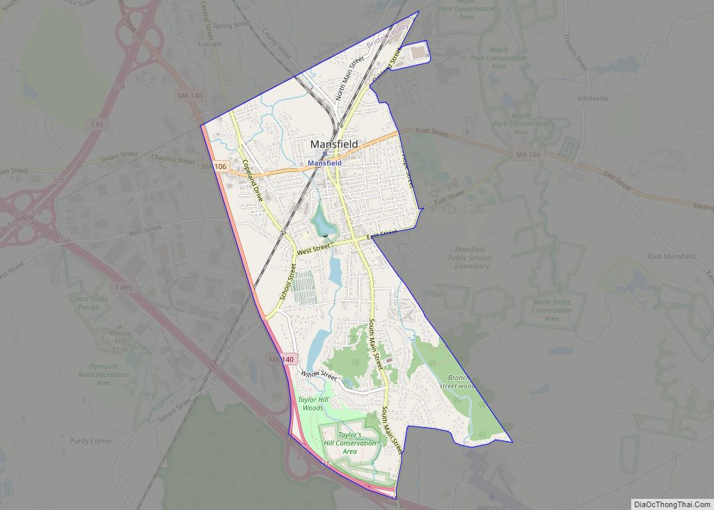
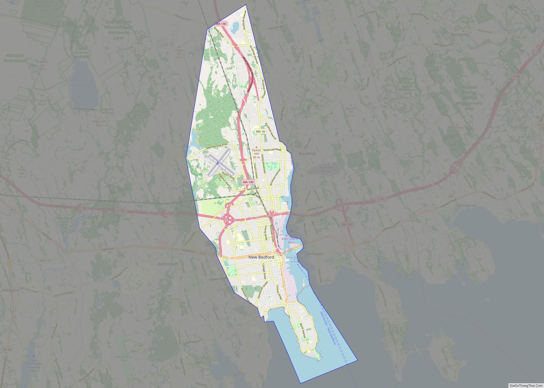
Attleboro has an area of 27.772 square miles (71.930 km), of which 26.779 square miles (69.356 km) is land and 0.994 square miles (2.574 km), or 3.59%, is water. Its borders form an irregular polygon that resembles a truncated triangle pointing west. It is bordered by North Attleborough to the north, Mansfield and Norton to the east, Rehoboth, Seekonk, and Pawtucket, Rhode Island, to the south, and Cumberland, Rhode Island, to the west, as well as sharing a short border with Central Falls, Rhode Island through the Blackstone River. It includes the areas known as City Center, Briggs Corner, West Attleboro, East Corner, East Attleboro, North Corner, Maple Square, Camp Hebron, Oak Hill, Dodgeville, East Junction, Hebronville, Park Square, and South Attleboro.
Waterways in the city include the Ten Mile River, fed by the Bungay River, the Manchester Pond Reservoir, and several small ponds.
Attleboro’s highest point is 249-foot (76 m) Oak Hill, in the southern part of the city, north of Oak Hill Avenue.
Attleboro is on the border between the Massachusetts and Rhode Island regional dialects of New England English: the eastern part of the city is in the same dialect region as Boston, and the western part in the same dialect region as Providence.
See also
Map of Massachusetts State and its subdivision: Map of other states:- Alabama
- Alaska
- Arizona
- Arkansas
- California
- Colorado
- Connecticut
- Delaware
- District of Columbia
- Florida
- Georgia
- Hawaii
- Idaho
- Illinois
- Indiana
- Iowa
- Kansas
- Kentucky
- Louisiana
- Maine
- Maryland
- Massachusetts
- Michigan
- Minnesota
- Mississippi
- Missouri
- Montana
- Nebraska
- Nevada
- New Hampshire
- New Jersey
- New Mexico
- New York
- North Carolina
- North Dakota
- Ohio
- Oklahoma
- Oregon
- Pennsylvania
- Rhode Island
- South Carolina
- South Dakota
- Tennessee
- Texas
- Utah
- Vermont
- Virginia
- Washington
- West Virginia
- Wisconsin
- Wyoming