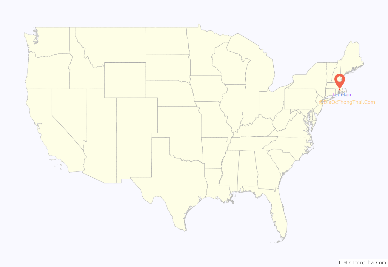
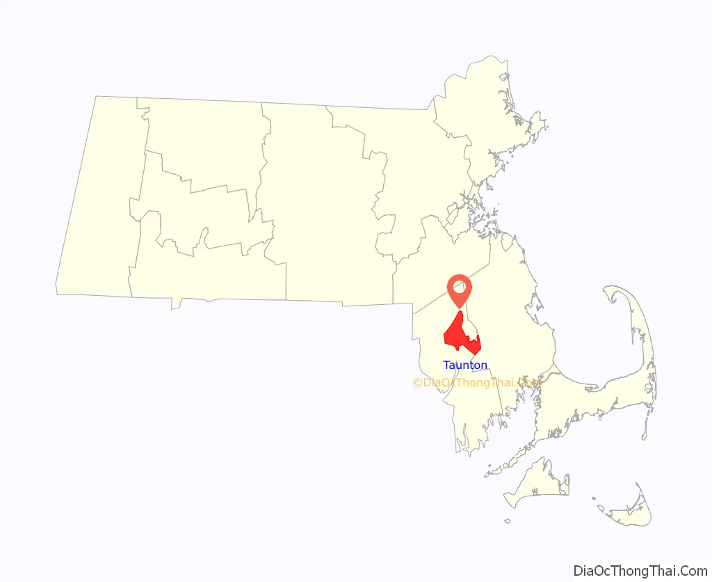
Taunton is a city in Bristol County, Massachusetts, United States. It is the seat of Bristol County. Taunton is situated on the Taunton River which winds its way through the city on its way to Mount Hope Bay, 10 miles (16 km) to the south. At the 2020 census, the city had a population of 59,408. Shaunna O’Connell is the mayor of Taunton.
Founded in 1637 by members of the Plymouth Colony, Taunton is one of the oldest towns in the United States. The Native Americans called the region Cohannet, Tetiquet and Titicut before the arrival of the Europeans. Taunton is also known as the “Silver City”, as it was a historic center of the silver industry beginning in the 19th century when companies such as Reed & Barton, F. B. Rogers, Poole Silver, and others produced fine-quality silver goods in the city.
Since December 1914, the city of Taunton has provided a large annual light display each December on Taunton Green, giving it the additional nickname of the Christmas City.
The original boundaries of Taunton included the land now occupied by many surrounding towns, including Norton, Easton, Mansfield, Dighton, Raynham, Berkley, and Lakeville. Possession of the latter is still noted by the naming of Taunton Hill in Assonet.
| Name: | Taunton city |
|---|---|
| LSAD Code: | 25 |
| LSAD Description: | city (suffix) |
| State: | Massachusetts |
| County: | Bristol County |
| Elevation: | 30 ft (9 m) |
| Total Area: | 48.41 sq mi (125.39 km²) |
| Land Area: | 46.71 sq mi (120.97 km²) |
| Water Area: | 1.71 sq mi (4.42 km²) |
| Total Population: | 59,408 |
| Population Density: | 1,271.90/sq mi (491.08/km²) |
| Area code: | 508 / 774 |
| FIPS code: | 2569170 |
| GNISfeature ID: | 0613154 |
| Website: | www.taunton-ma.gov |
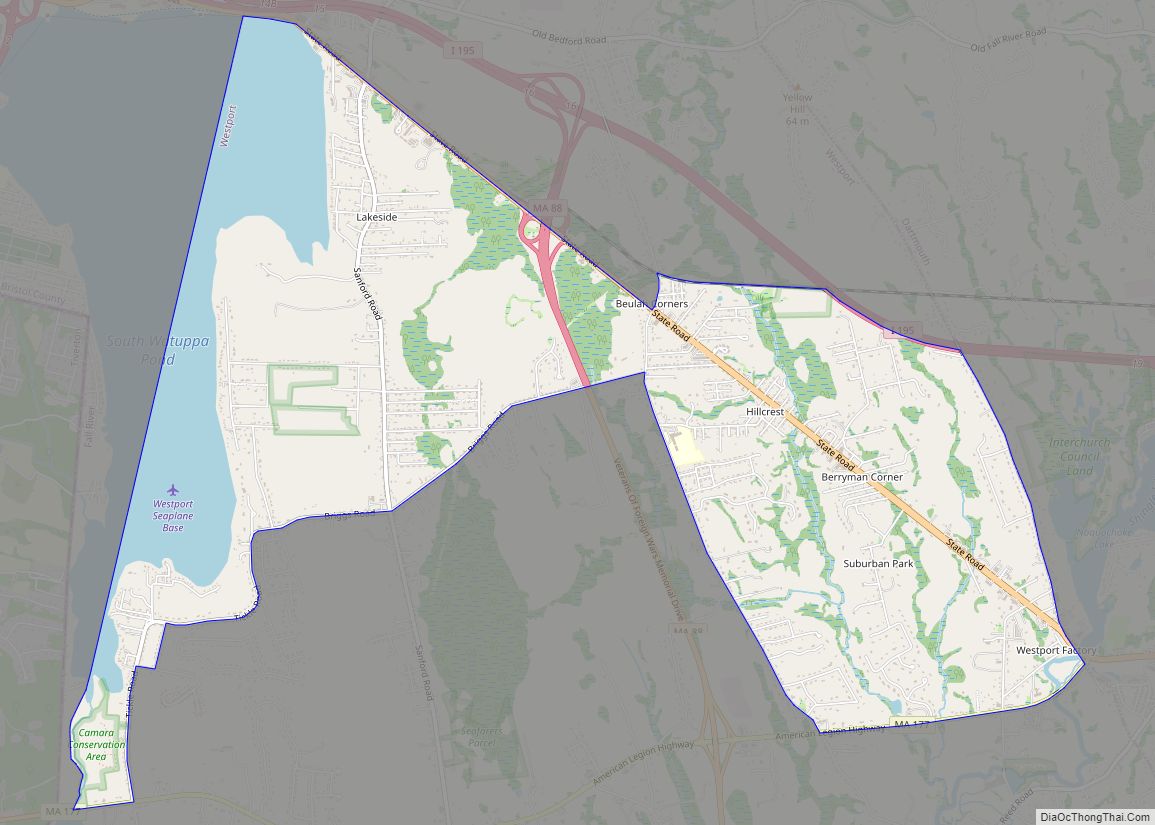
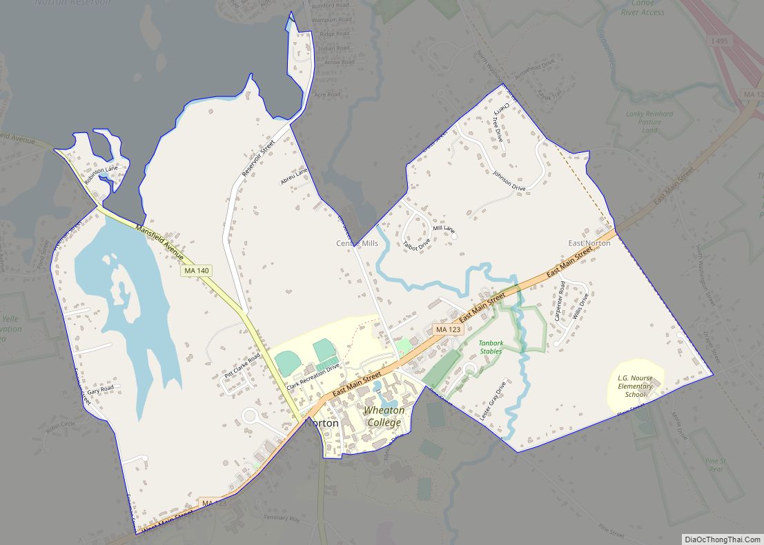
Online Interactive Map
Click on ![]() to view map in "full screen" mode.
to view map in "full screen" mode.
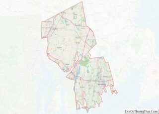
Taunton location map. Where is Taunton city?
History
Beginnings
Taunton was founded by settlers from England and officially incorporated as a town on September 3, 1639. Most of the town’s settlers were originally from Taunton in Somerset, England, which led early settlers to name the settlement after that town. At the time of Taunton’s incorporation, they explained their choice of name as being “in honor and love to our dear native country.” Prior to 1640, the Taunton area was called Cohannet, Tetiquet or Titiquet.
The English founders of Taunton purchased the land from the Nemasket Natives in 1637 as part of the Tetiquet Purchase and the remaining native families were relocated to the praying town of Ponkapoag in present-day Canton, Massachusetts. Elizabeth Poole, contrary to local folklore, did not take part in the town purchase but was among its greatest benefactors and played a significant role in the founding of its church. Described as “the foundress of Taunton” and its matriarch, Poole “was accorded equality of rights, whether in the purchase of lands, [or] in the sharing of iron works holdings,” having been a financier of the settlement’s first dam and mill built for the manufacture of bar iron. Plymouth Colony was formally divided into counties on June 2, 1685, with Taunton becoming the shire town of Bristol County. The counties of Plymouth Colony were transferred to the Province of Massachusetts Bay on the arrival of its charter and governor on May 14, 1692. The Taunton area has been the site of skirmishes and battles during various conflicts, including King Philip’s War and the American Revolution. Taunton was re-incorporated as a city on May 11, 1864.
Industrial legacy
In 1656, the first successful iron works in Plymouth Colony was established on the Two Mile River, in what is now part of Raynham. The Taunton Iron Works operated for over 200 years until 1876. It was the first of many iron industries in Taunton.
During the 19th century, Taunton became known as the “Silver City”, as it was home to many silversmithing operations, including Reed & Barton, F.B. Rogers, the Poole Silver Company, and the Taunton Silverplate Company.
In the 19th century, Taunton was also the center of an important iron-making industry, utilizing much bog iron from the numerous swamps in the surrounding area. The iron industry in Taunton produced a variety of goods including stoves (Weir Stove Company/Glenwood), tacks (Field Tack Company) and machinery. One of the more successful companies during this period was the Mason Machine Works, founded by William Mason, which produced machinery for the textile industry, as well as steam locomotives. The Taunton Locomotive Works (begun in 1846) also operated in the city during this time.
Taunton was also home to several textile mills (Whittenton Mills) and other industries, such as felt (Bacon Felt) and brick making.
During the 19th century, Taunton was a major shipping point for grain from the inland rural farm areas of Massachusetts to the rest of the nation via Weir Village and the Taunton River. With the advent of the railroad, Taunton would also become an important transportation hub due to its central location.
The city formed the Taunton Municipal Light Plant (TMLP) in 1897, when it decided to purchase the floundering Taunton Electric Lighting Company, making it a publicly owned electric utility. Today, TMLP provides electric service to 34,000 customers in Taunton, Berkley, Raynham, and sections of Dighton, Lakeville and Bridgewater. TMLP is governed by a three-member Board of Commissioners, which is elected by the citizens of Taunton.
In the late 19th century, Taunton was a stop on the national bicycle racing circuit. In 1897, the one-mile (1.6 km) open event made news when third-place finisher W. E. Becker brutally attacked second-place winner Major Taylor, knocking him unconscious for fifteen minutes.
Twentieth century
Built in 1942, U.S. Army Camp Myles Standish was a departure point for over a million U.S. and allied military personnel bound for Europe during World War II. It also functioned as a prisoner of war camp housing German and Italian soldiers. While Camp Myles Standish was later closed in 1946, it was re-purposed as the Paul A Dever School which was a facility that housed mentally disabled persons. The school site of 220 acres (89 ha) was shut down in 1982. This portion was turned into an expansion scheme for the existing the Myles Standish Industrial Park, Taunton’s north end, which is currently one of the largest in New England, covering an area over 800 acres (320 ha). It services manufacturing, offices, high tech, and distribution centers.
The National Weather Service operates a regional weather forecast office that serves much of Massachusetts, all of Rhode Island, and most of northern Connecticut there. The National Weather Service also operates the Northeast River Forecast Center on the site, serving New England and most of New York state. Several major companies operate within the industrial park and in other parts of the city.
Twenty-first century
In October 2005, the Whittenton Pond Dam north of the downtown area threatened to fail following a week that brought 9 inches (230 mm) of rain to the city. Over 2,000 city residents were evacuated, all downtown businesses were ordered closed and Mayor Robert Nunes issued a state of emergency. It is estimated that if the dam had failed, the Mill River would have inundated the downtown area with up to 6 feet (1.8 m) of water. In response, Massachusetts Governor Mitt Romney ordered an immediate inspection of high-risk dams throughout the Commonwealth.
In 2010, the historic Taunton City Hall was severely damaged in an arson fire. City government operated out of the former Lowell M. Maxham School on Oak Street for ten years, until the building was renovated and re-opened in September 2020.
In 2012 Taunton became the target location for a Wampanoag casino complex which was embroiled in conflict by competing regional bands of the Wampanoag over territory claims. The proposed casino resort complex location is adjacent to a local elementary school and the regional technical high school, generating protests by parent and teacher groups.
On June 10, 2012, the City of Taunton dedicated the Taunton Global War on Terrorism War Memorial on Church Green.
Taunton is home to a General Dynamics Mission Systems facility, which develops military communications equipment.
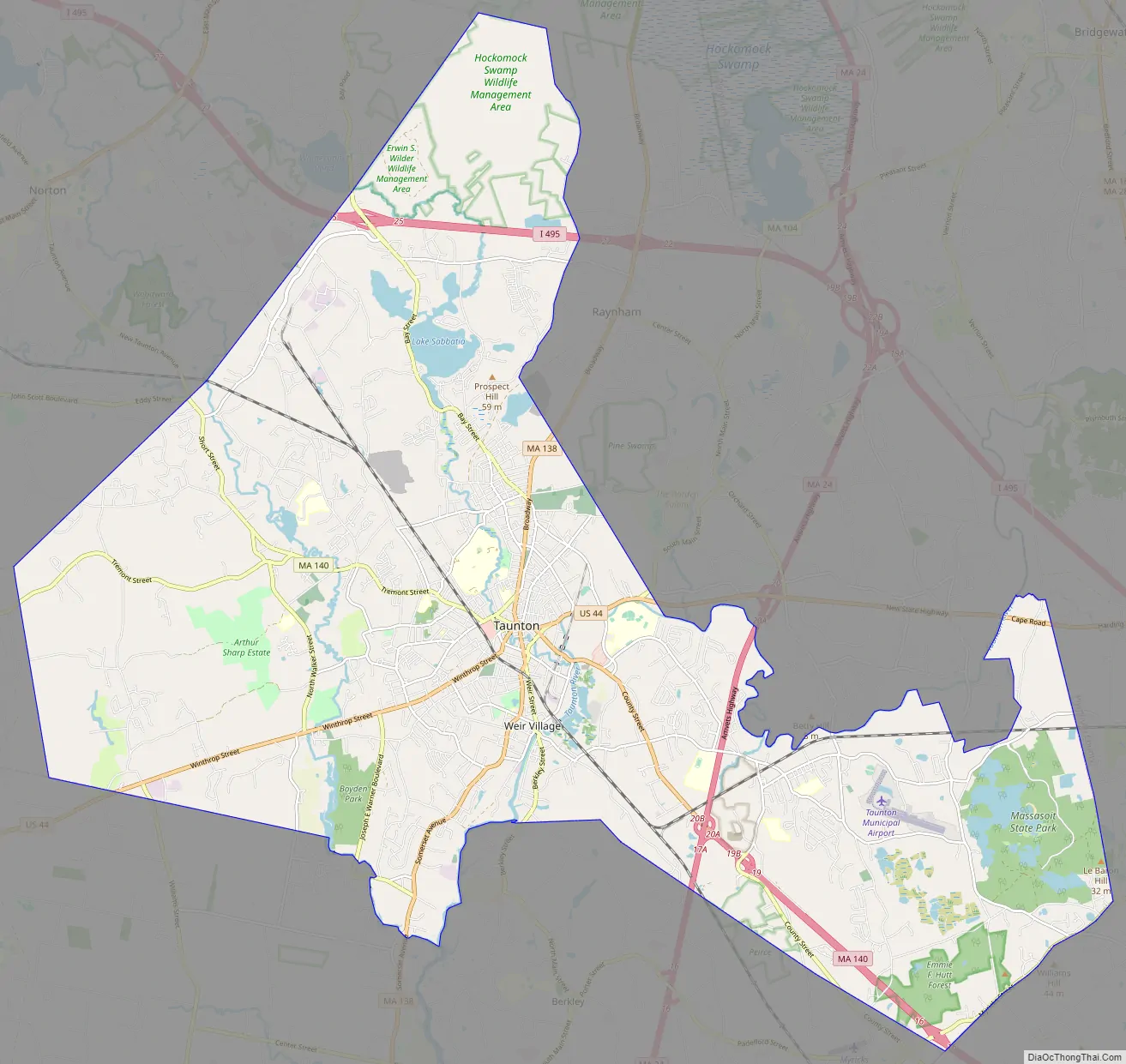
Taunton Road Map
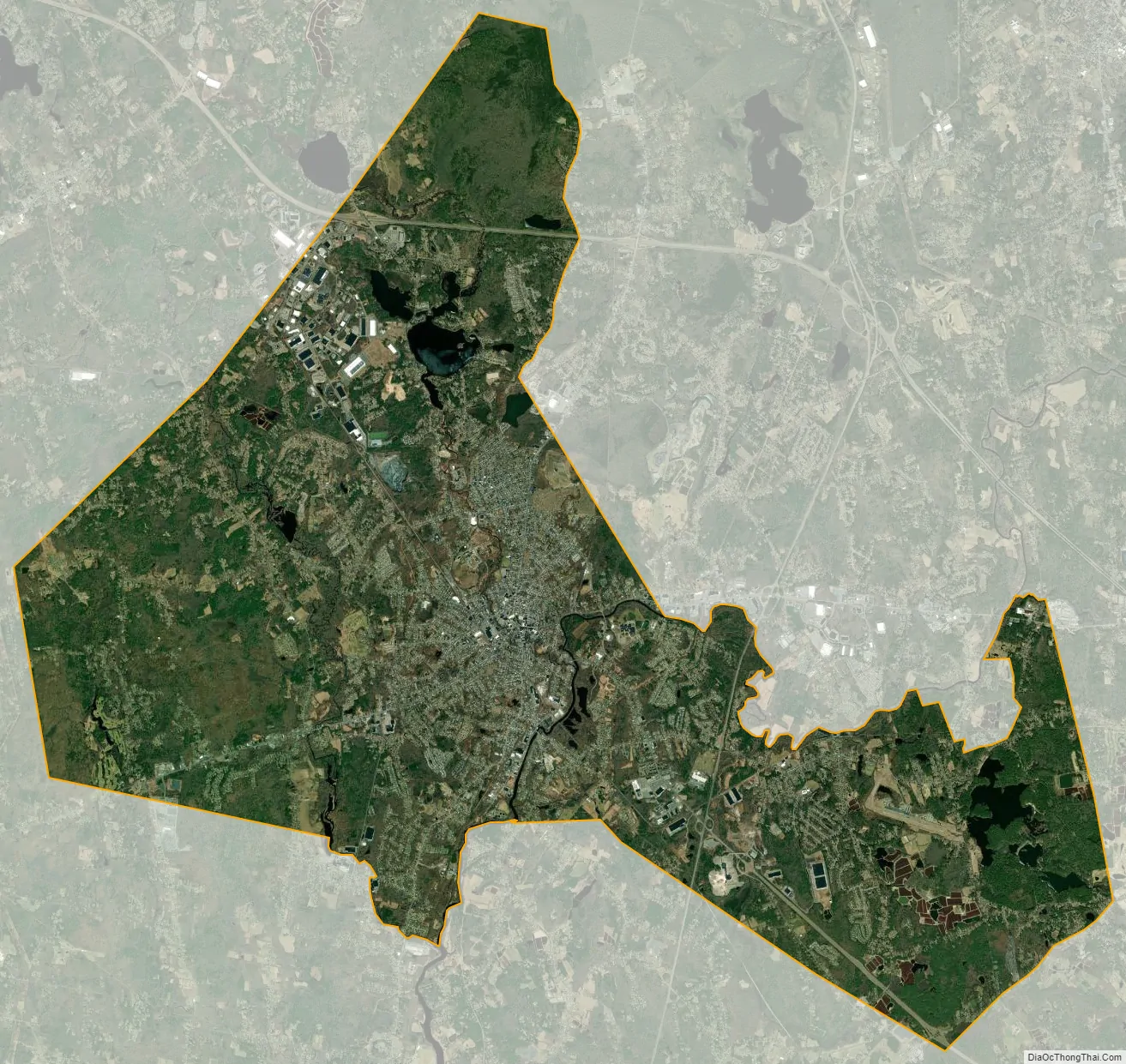
Taunton city Satellite Map
Geography
According to the United States Census Bureau, the city has a total area of 48.4 square miles (125.4 km), of which 46.4 square miles (120.1 km) is land and 1.7 square miles (4.4 km), or 3.53%, is water. It is the third-largest city by area in Massachusetts, after Boston and Barnstable.
Taunton has one major river, the Taunton River, along with its tributaries, including the Mill River and the Three Mile River. The highest point in the city is near its southwest corner, with an elevation of 207 feet (63 m) above sea level. Prospect Hill, rising over Lake Sabbatia north of the downtown, has an elevation of 197 feet (60 m).
Climate
According to the Köppen climate classification, Taunton has either a hot-summer humid continental climate (abbreviated Dfa), or a hot-summer humid sub-tropical climate (abbreviated Cfa), depending on the isotherm used.
Historic districts
There are nine designated historic districts within the city:
- Bay Road Historic District, also known as Post Road. The road runs from Taunton to Boston. (1,300 acres or 530 ha), 1 structure, 2 objects)
- Bristol County Courthouse Complex (13 acres, three buildings)
- Church Green Historic District, also known as Meetinghouse Common (160 acres, 18 buildings, one object)
- Hopewell Mills District (120 acres, 13 buildings)
- Old Bay Road Historic District, also known as The Post Road; The King’s Highway (150 acres, 1 structure, three objects)
- Reed and Barton Complex
- Taunton Green Historic District (50 acres, 22 buildings, three objects)
- Taunton State Hospital Historic District, also known as the Taunton Lunatic Asylum (1,250 acres or 510 ha), 38 buildings, eight structures)
Due to the annexation of towns from the original town of Taunton, the city now is irregularly shaped, with it (along with neighboring Raynham) roughly making a triangle. The city is bordered by Norton to the northwest, Easton to the north, Raynham to the northeast, Middleborough to the east, Lakeville to the southeast, Berkley and Dighton to the south, and Rehoboth to the west.
City neighborhoods include the Bird Lanes, Clearview Estates, East Taunton, Elliot’s Corner, Herring Run Estates, Linden Estates, Matthews Landing, North Taunton, Oakland, Pine Crest Estates, Pine Hill Estates, Wades Corner, Weir Village, Westville, Whittenton, Whittenton Junction, Britannia Village or Britanniaville, Willis Lake Village and Woodward Estates. Taunton is also home to almost the entirety of Massasoit State Park in East Taunton, and a large portion of the Hockomock Swamp Wildlife Management Area in North Taunton.
See also
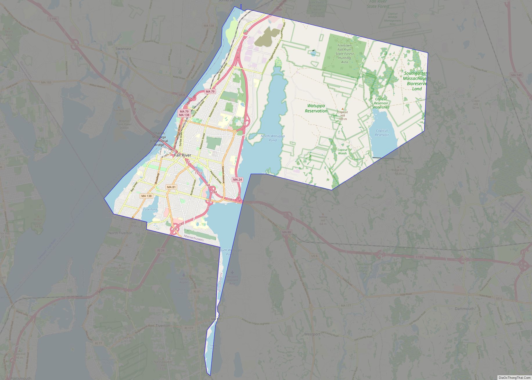
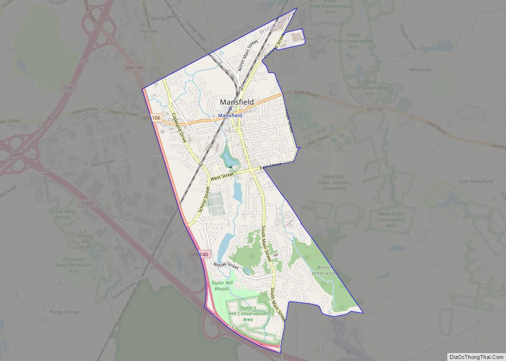
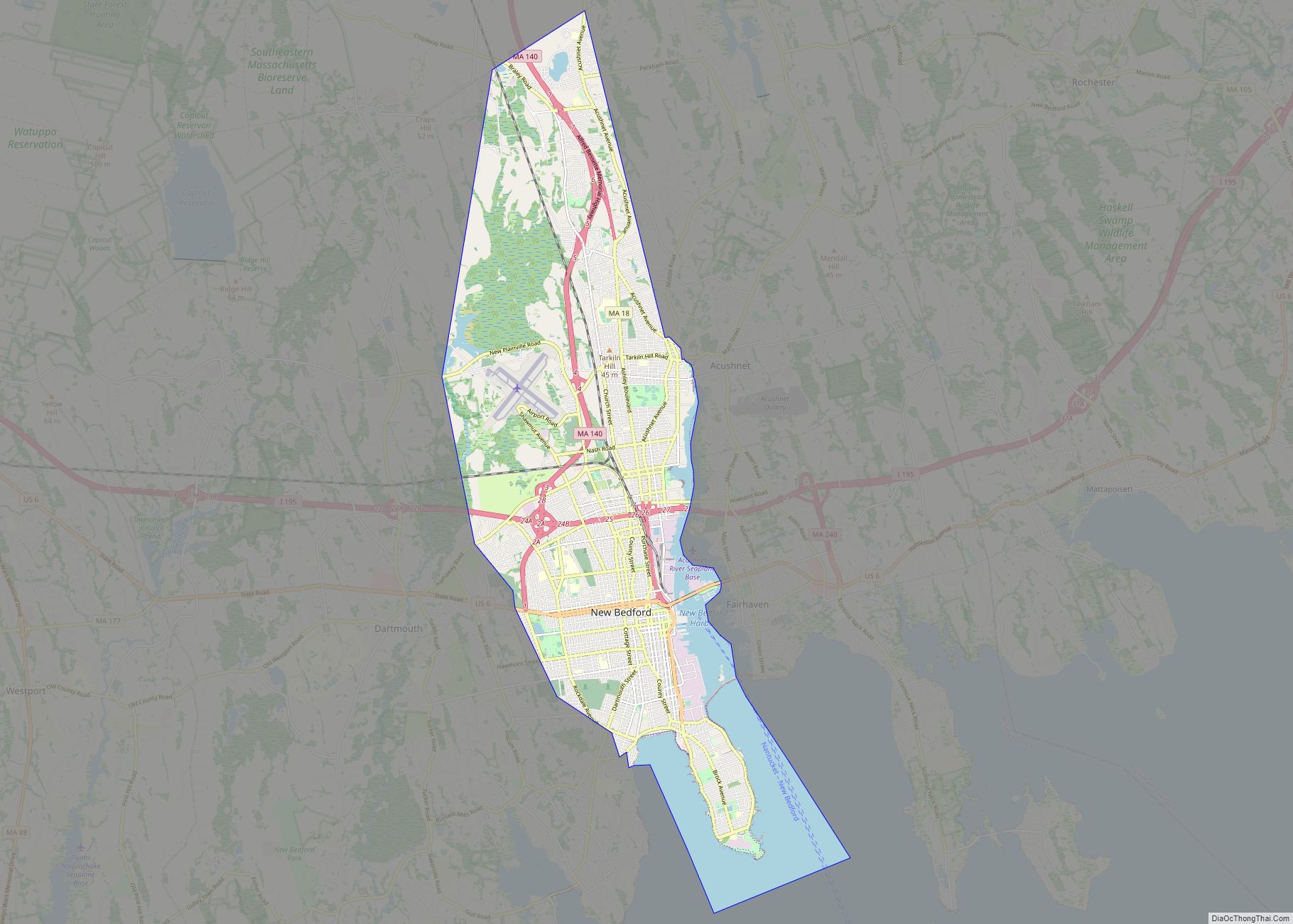
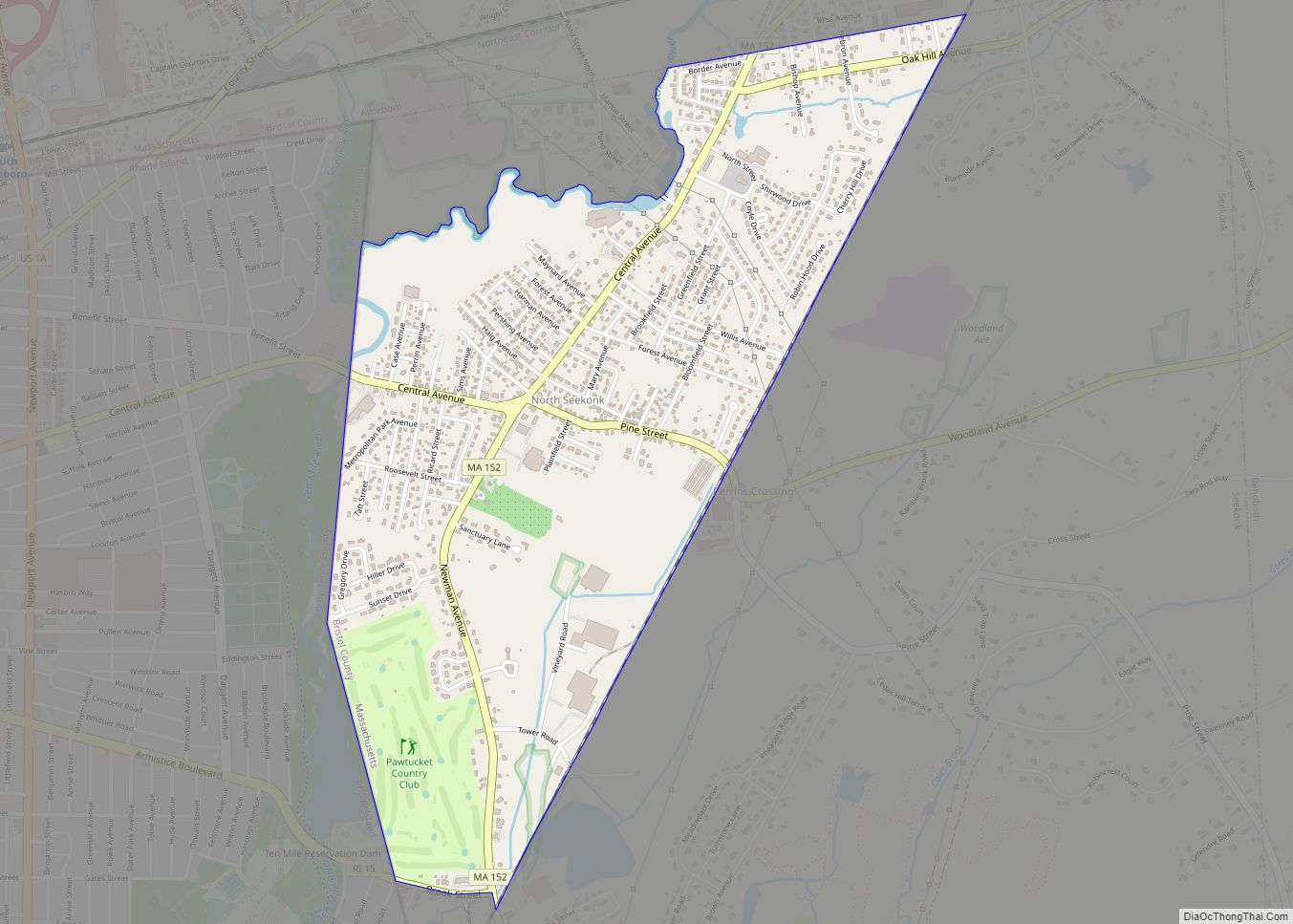
Map of Massachusetts State and its subdivision: Map of other states:- Alabama
- Alaska
- Arizona
- Arkansas
- California
- Colorado
- Connecticut
- Delaware
- District of Columbia
- Florida
- Georgia
- Hawaii
- Idaho
- Illinois
- Indiana
- Iowa
- Kansas
- Kentucky
- Louisiana
- Maine
- Maryland
- Massachusetts
- Michigan
- Minnesota
- Mississippi
- Missouri
- Montana
- Nebraska
- Nevada
- New Hampshire
- New Jersey
- New Mexico
- New York
- North Carolina
- North Dakota
- Ohio
- Oklahoma
- Oregon
- Pennsylvania
- Rhode Island
- South Carolina
- South Dakota
- Tennessee
- Texas
- Utah
- Vermont
- Virginia
- Washington
- West Virginia
- Wisconsin
- Wyoming