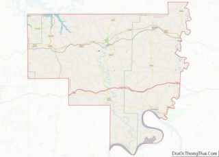
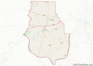
Milltown is a town in Blue River and Spencer townships in Harrison County and Whiskey Run Township in Crawford County, Indiana. The population was 818 at the time of the 2010 census.
| Name: | Milltown town |
|---|---|
| LSAD Code: | 43 |
| LSAD Description: | town (suffix) |
| State: | Indiana |
| County: | Crawford County, Harrison County |
| Elevation: | 627 ft (191 m) |
| Total Area: | 1.33 sq mi (3.45 km²) |
| Land Area: | 1.33 sq mi (3.45 km²) |
| Water Area: | 0.00 sq mi (0.00 km²) |
| Total Population: | 790 |
| Population Density: | 592.65/sq mi (228.82/km²) |
| ZIP code: | 47145 |
| Area code: | 812 |
| FIPS code: | 1849716 |
| GNISfeature ID: | 0439248 |
| Website: | townofmilltown.org |
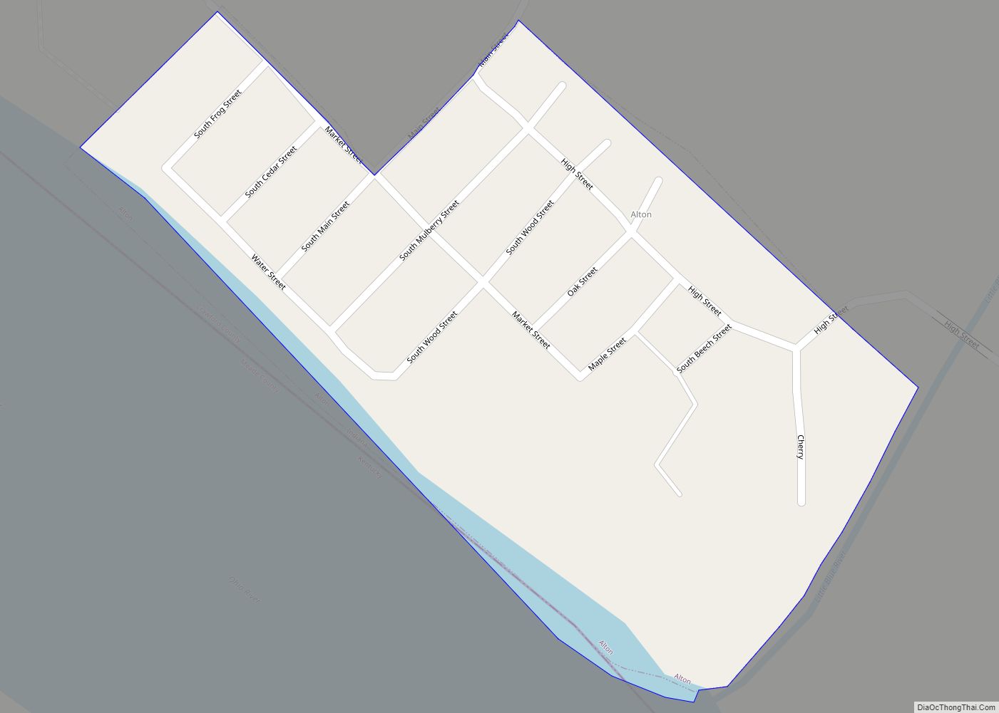
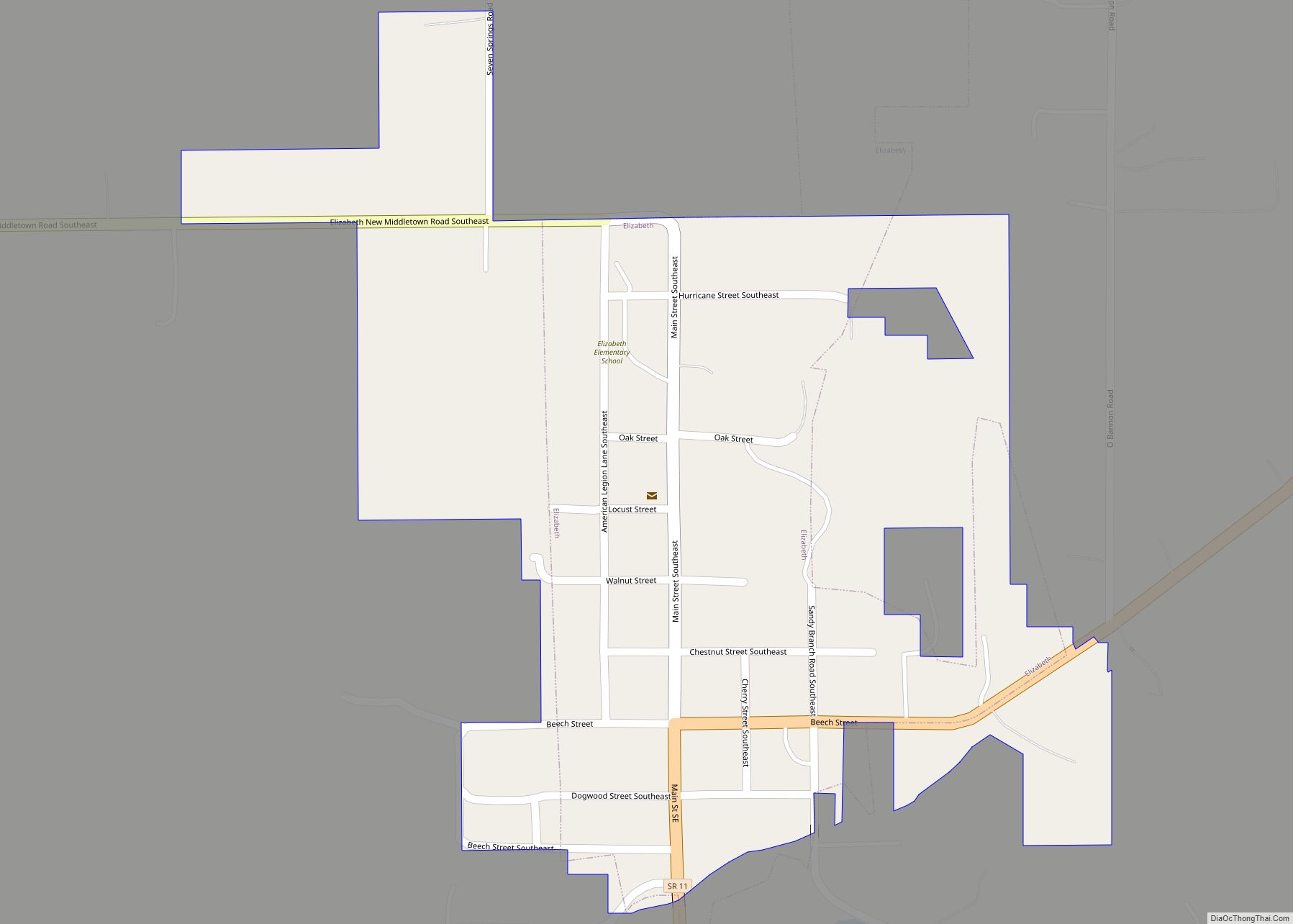
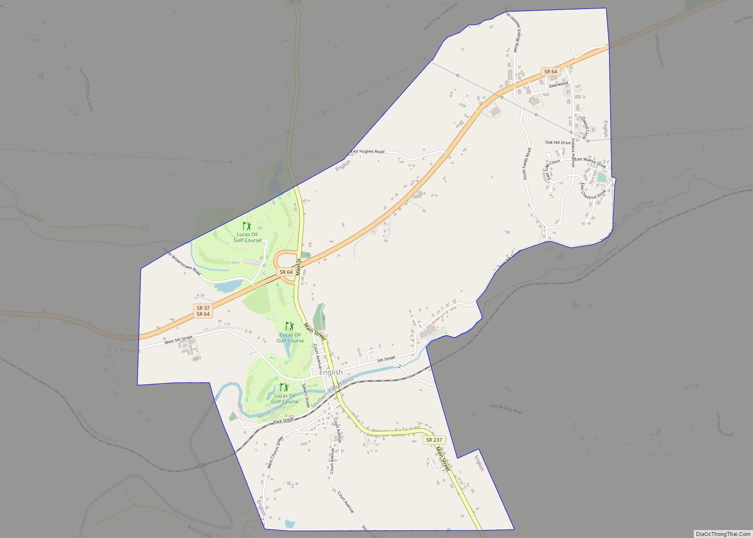
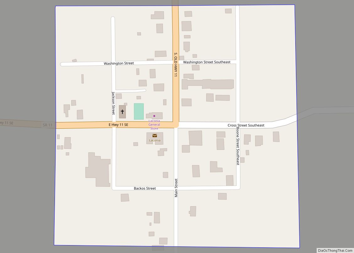
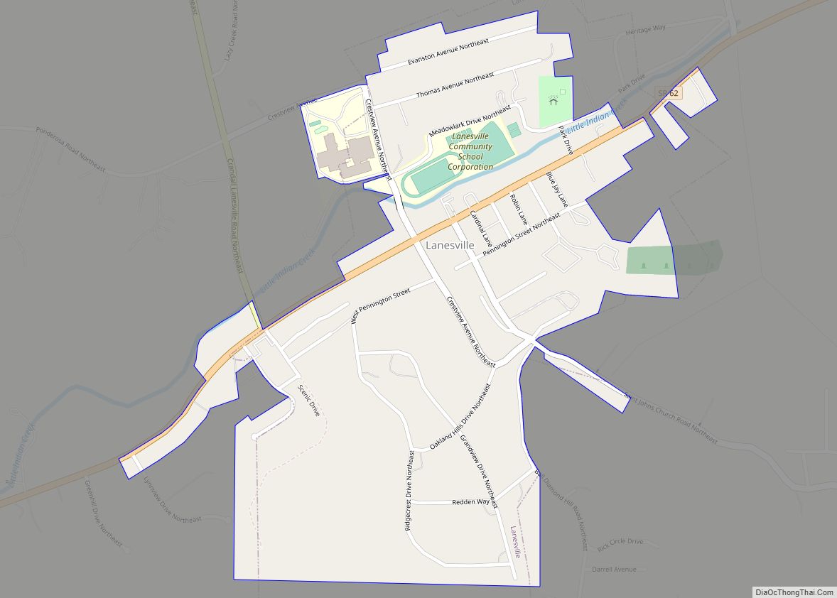
Online Interactive Map
Click on ![]() to view map in "full screen" mode.
to view map in "full screen" mode.
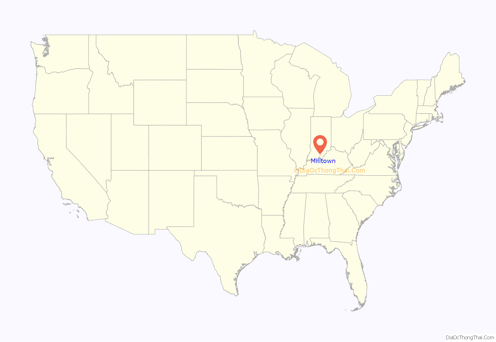
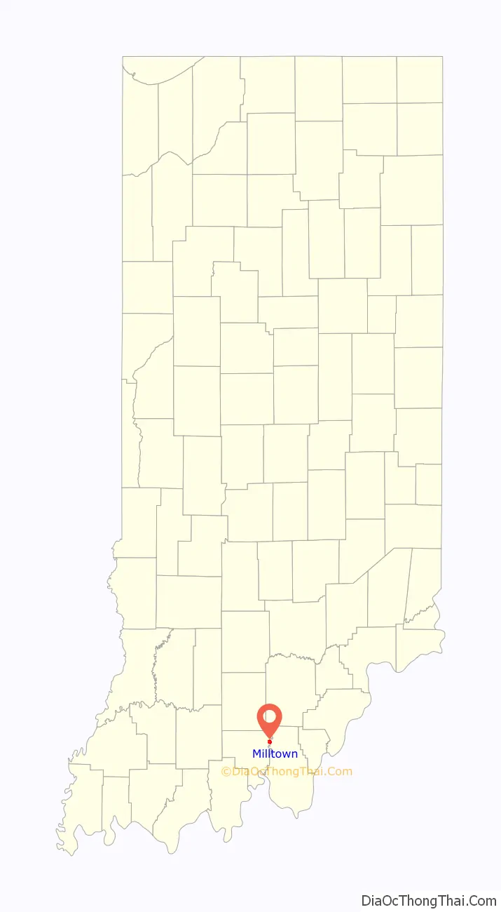
Milltown location map. Where is Milltown town?
History
Milltown was laid out in 1839. The community was named from the presence of a mill.
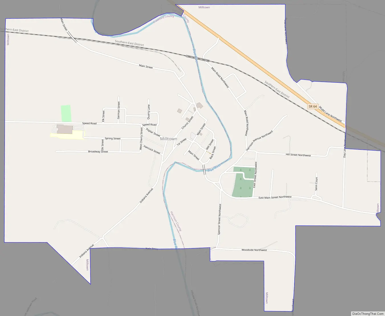
Milltown Road Map
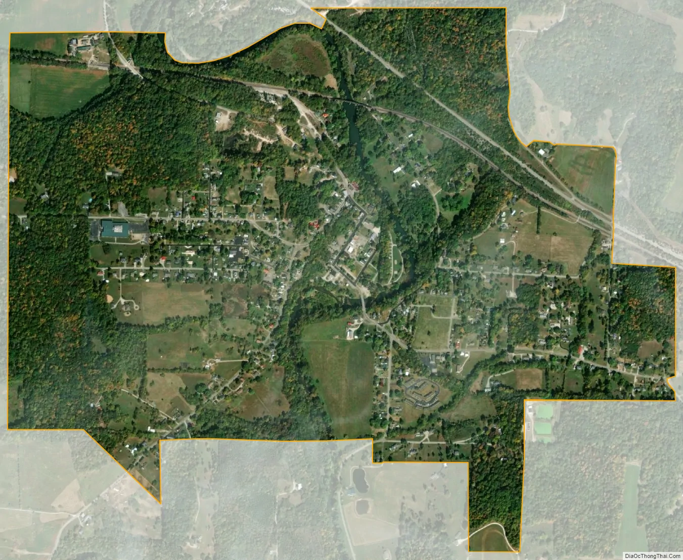
Milltown city Satellite Map
Geography
Milltown is located at 38°20′33″N 86°16′25″W / 38.34250°N 86.27361°W / 38.34250; -86.27361 (38.342453, -86.273591).
According to the 2010 census, Milltown has a total area of 1.41 square miles (3.65 km), all land.
See also
Map of Indiana State and its subdivision:- Adams
- Allen
- Bartholomew
- Benton
- Blackford
- Boone
- Brown
- Carroll
- Cass
- Clark
- Clay
- Clinton
- Crawford
- Daviess
- De Kalb
- Dearborn
- Decatur
- Delaware
- Dubois
- Elkhart
- Fayette
- Floyd
- Fountain
- Franklin
- Fulton
- Gibson
- Grant
- Greene
- Hamilton
- Hancock
- Harrison
- Hendricks
- Henry
- Howard
- Huntington
- Jackson
- Jasper
- Jay
- Jefferson
- Jennings
- Johnson
- Knox
- Kosciusko
- LaGrange
- Lake
- Lake Michigan
- LaPorte
- Lawrence
- Madison
- Marion
- Marshall
- Martin
- Miami
- Monroe
- Montgomery
- Morgan
- Newton
- Noble
- Ohio
- Orange
- Owen
- Parke
- Perry
- Pike
- Porter
- Posey
- Pulaski
- Putnam
- Randolph
- Ripley
- Rush
- Saint Joseph
- Scott
- Shelby
- Spencer
- Starke
- Steuben
- Sullivan
- Switzerland
- Tippecanoe
- Tipton
- Union
- Vanderburgh
- Vermillion
- Vigo
- Wabash
- Warren
- Warrick
- Washington
- Wayne
- Wells
- White
- Whitley
- Alabama
- Alaska
- Arizona
- Arkansas
- California
- Colorado
- Connecticut
- Delaware
- District of Columbia
- Florida
- Georgia
- Hawaii
- Idaho
- Illinois
- Indiana
- Iowa
- Kansas
- Kentucky
- Louisiana
- Maine
- Maryland
- Massachusetts
- Michigan
- Minnesota
- Mississippi
- Missouri
- Montana
- Nebraska
- Nevada
- New Hampshire
- New Jersey
- New Mexico
- New York
- North Carolina
- North Dakota
- Ohio
- Oklahoma
- Oregon
- Pennsylvania
- Rhode Island
- South Carolina
- South Dakota
- Tennessee
- Texas
- Utah
- Vermont
- Virginia
- Washington
- West Virginia
- Wisconsin
- Wyoming