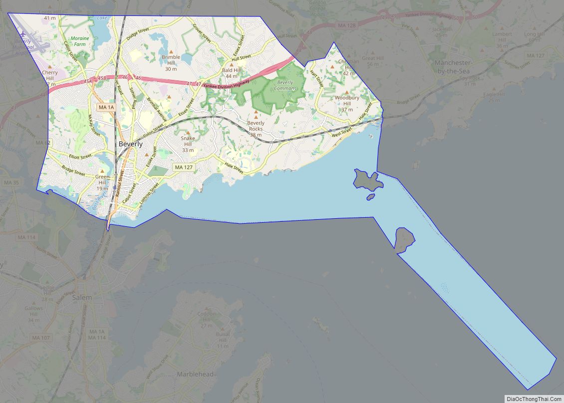
Beverly is a city in Essex County, Massachusetts, and a suburb of Boston. The population was 42,670 at the time of the 2020 United States Census. A resort, residential, and manufacturing community on the Massachusetts North Shore, Beverly includes Ryal Side, North Beverly, Montserrat, Beverly Farms and Prides Crossing. Beverly is a rival of Marblehead for the title of being the “birthplace of the U.S. Navy”.
| Name: | Beverly city |
|---|---|
| LSAD Code: | 25 |
| LSAD Description: | city (suffix) |
| State: | Massachusetts |
| County: | Essex County |
| Elevation: | 36 ft (11 m) |
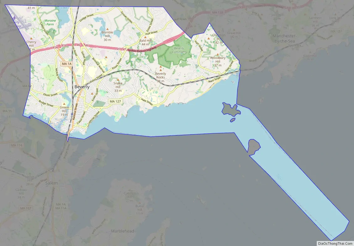
| Total Area: | 22.59 sq mi (58.50 km²) |
| Land Area: | 15.09 sq mi (39.08 km²) |
| Water Area: | 7.50 sq mi (19.42 km²) |
| Total Population: | 42,670 |
| Population Density: | 2,827.70/sq mi (1,091.80/km²) |
| ZIP code: | 01915 |
| Area code: | 978/351 |
| FIPS code: | 2505595 |
| GNISfeature ID: | 0614200 |
Online Interactive Map
Click on ![]() to view map in "full screen" mode.
to view map in "full screen" mode.
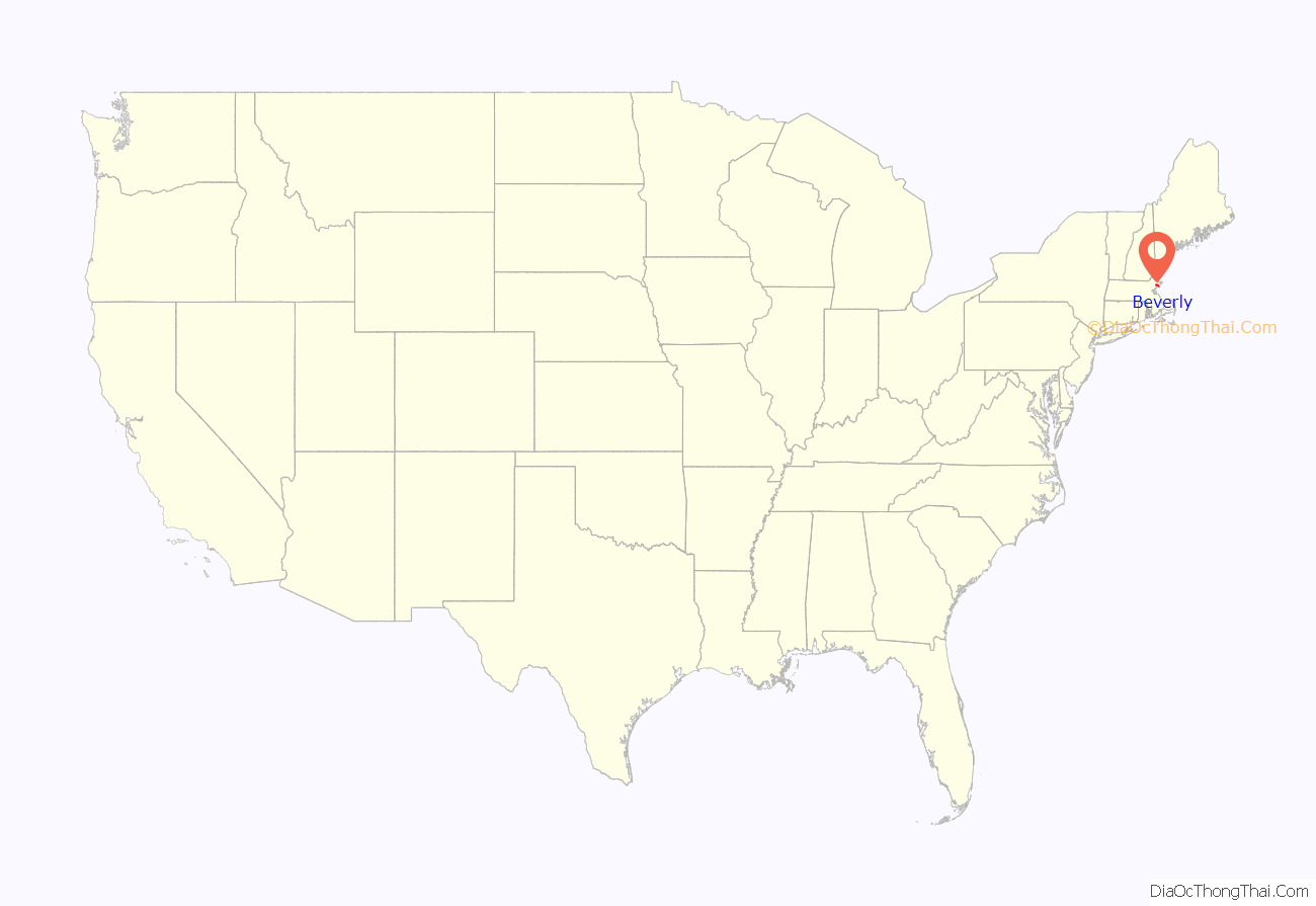
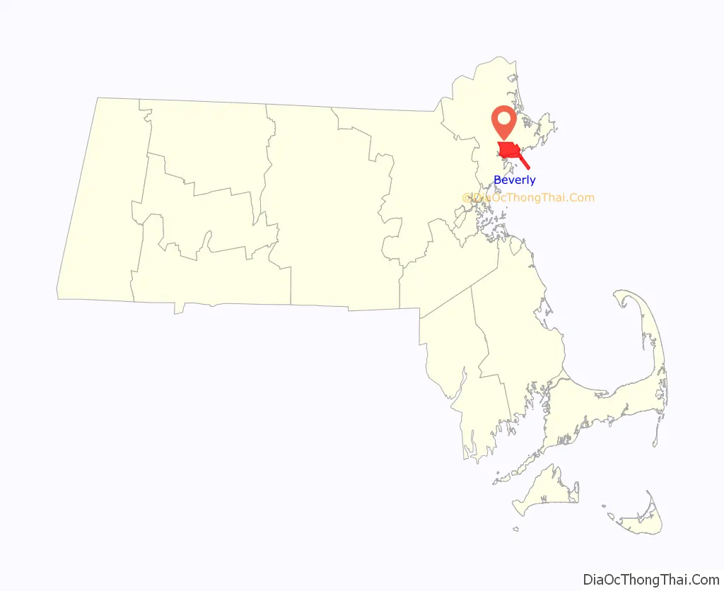
Beverly location map. Where is Beverly city?
History
Native Americans inhabited what would become northeastern Massachusetts for thousands of years before European colonization of the Americas. At the time of contact in the early 1600s the area that would become Beverly was between an important Naumkeag settlement in present-day Salem and Agawam settlements on Cape Ann, with probable indigenous settlement sites at the mouth of the Bass River. During the early contact period virgin soil epidemics ravaged native populations, reducing the indigenous population within the present boundaries of Beverly from an estimated 200 to less than 50 if any survivors.
Europeans under Roger Conant’s leadership first colonized the area in 1626 as part of the Massachusetts Bay Colony. Initially part of Salem, Beverly would be set off and officially incorporated in 1668, when it was named after Beverley, the county town of the East Riding of Yorkshire, England. Surviving from the settlement’s early history is the Balch House, built, according to dendrochronological testing performed in 2006, about 1679.
English colonists did not initially seek permission from indigenous inhabitants to settle in Beverly, however when Charles II revoked colonial charters to establish the Dominion of New England in 1684, Beverly joined a number of Massachusetts municipalities in seeking out heirs to local sachems and paying them ex post facto in order to establish a right to the land. So it was that in 1686 the town selectmen agreed to pay six pounds, six shillings, and eight pence to three grandchildren of Masconomet, last sachem of the Agawam. They did not pay this sum until 1700.
The first ship commissioned for the US military, by the US Army (the US Navy had yet to exist), was the armed schooner USS Hannah under the command of Captain Nicholson Broughton. It was outfitted at Glover’s Wharf and first sailed from Beverly Harbor on September 5, 1775. For this reason Beverly calls itself the “Birthplace of America’s Navy.” (Marblehead makes a similar claim, in part, because Broughton was from there and belonged to the Marblehead Regiment. Additionally, official US Navy history and the naval history of Rhode Island contradict this.) The Hannah can be found on the patch of the city’s police department.
Beverly has been called the “birthplace of the American Industrial Revolution,” as the site of the first cotton mill in America (1787), and largest cotton mill of its time. The town is the home of one of the country’s first Sunday schools (which was built in 1810). Beverly was incorporated as a city in 1894.
In 1902, the United Shoe Machinery Corporation built a quarter-mile (400 m) stretch of factory buildings in Beverly. The stretch was an early landmark example of reinforced concrete construction, devised by concrete pioneer Ernest L. Ransome. In 1906 it went into production. Closed in 1987, the complex was bought by Cummings Properties in 1996, and developed into a campus of hi-tech companies and medical offices. Parker Brothers, makers of Monopoly and other games, has offices in Beverly. The city is also home to the Landmark School, known worldwide for the education it provides for students with learning disabilities.
President William Howard Taft rented a house for the summer White House from Mrs. Maria Evans in Beverly. In the summers of 1909 and 1910, he lived in a house located at what is now the site of the Italian Garden in Lynch Park, the city’s principal public park, and in 1911 and 1912 he rented a different house a mile (1600 m) away, “Parramatta”, from Mrs. Robert Peabody. Beverly Hills, California, was named in 1907 after Beverly Farms in Beverly because Taft vacationed there.
Beverly has a former Nike missile site on L. P. Henderson Road, immediately east of the Beverly Municipal Airport. This site was in operation from March 1957 until August 1959, when the Army handed it over to the National Guard. It is now used by Beverly as a storage site and is under the scrutiny of many environmental organizations, as it and the surrounding areas—such as Casco Chemical—have polluted the groundwater, which could be potentially hazardous to the nearby Wenham Lake water supply.
In 1984, the deadliest arson fire in Massachusetts history occurred at the Elliott Chambers, a low-rent rooming house located on the corner of Rantoul and Elliott Streets in downtown Beverly. 15 people died as a result of the fire.
In 2020, Jack Mullarkey, a longtime local fencing coach who had been on suspension for two years, after a two-year investigation by the United States Center for SafeSport was banned for life from USA Fencing for alleged sexual misconduct with a minor. He was the owner of the 3MB Fencing Club in Beverly, which operated out of a gym at the Waring School, and had coached fencing for three decades on Cape Ann and the North Shore.
Beverly Road Map
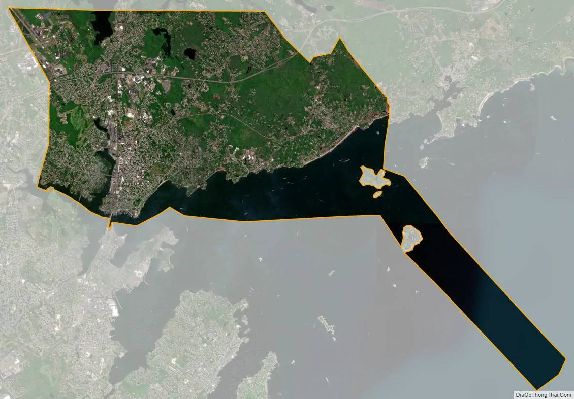
Beverly city Satellite Map
Geography
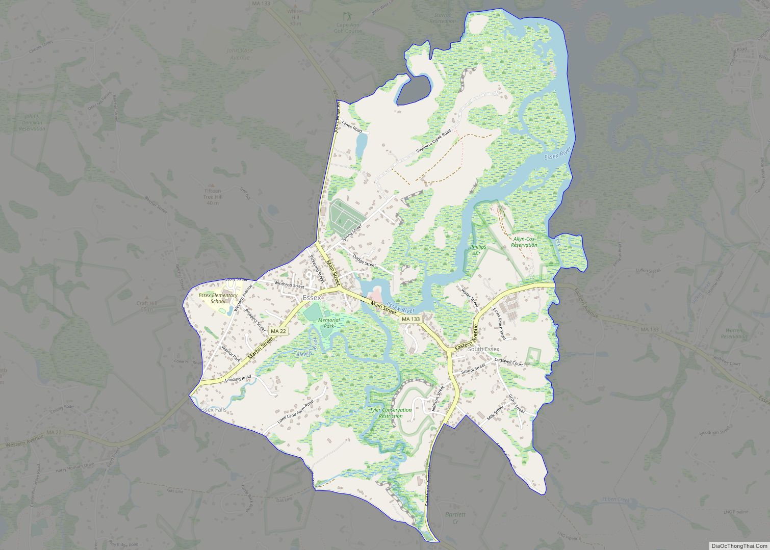
According to the United States Census Bureau, the city has a total area of 22.6 square miles (58.5 km), of which 15.1 square miles (39.1 km) is land and 7.5 square miles (19.4 km), or 33.19%, is water. Beverly is located on the North Shore, the name given to communities north of Boston along Massachusetts Bay. There are many smaller coves, as well as two islands, the Great and Little Misery Islands, which are part of the city. From Woodbury Point westward lies Beverly Harbor, which lies at the mouth of the Danvers River. The Bass River empties into the Danvers River from within the city. Several other small streams lie within the city as well. A large portion of Wenham Lake, as well as several other lakes and ponds lie within the city. The city has its own city forest and reservation land as well.
Much of the western half of the city is relatively urbanized, while the eastern part of the city (roughly from Woodbury Point east) is more rural. Beverly is home to several parks, five beaches, the Beverly Golf & Tennis Club (est. 1910) and two yacht clubs, Jubilee Yacht Club in Beverly Harbor and Bass Haven Yacht Club along the Bass River.
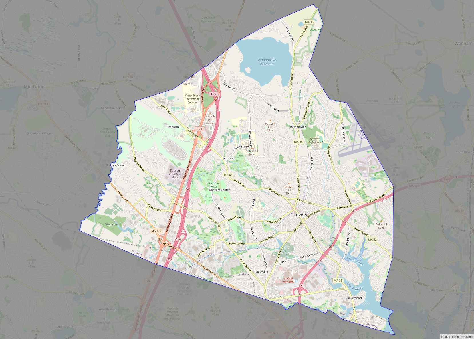
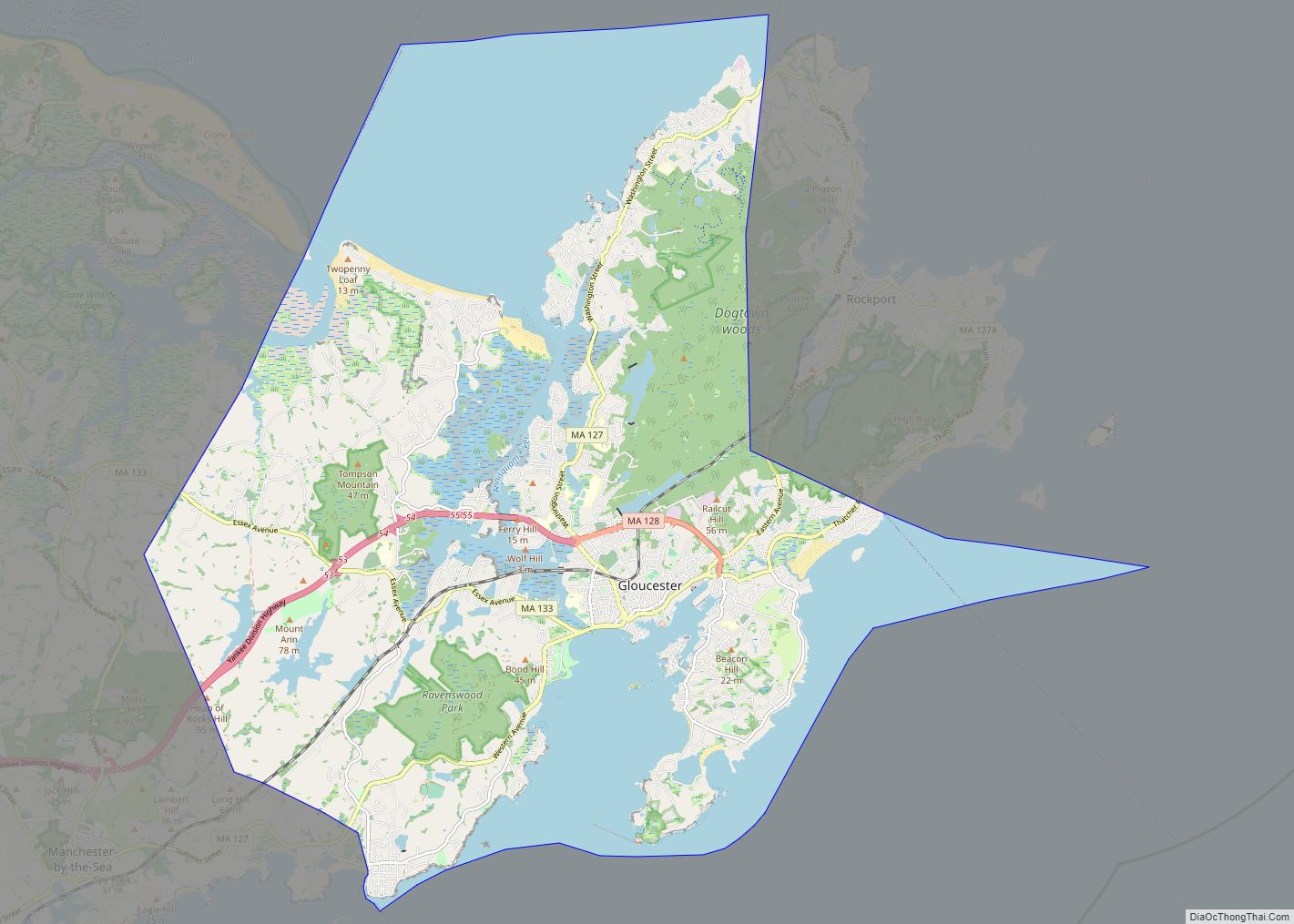
Besides Massachusetts Bay to the south, Beverly is bordered by Manchester-by-the-Sea to the east, Wenham to the north, Danvers to the west and Salem to the south. Beverly and Salem are separated by the Danvers River and Beverly Harbor, with three bridges, the Veterans Memorial Bridge (former location of the historic Essex Bridge), the MBTA railroad bridge, and the Kernwood Bridge, connecting the two cities. Beverly’s city center lies 2 miles (3 km) north of Salem’s, and is 14 miles (23 km) west-southwest of Gloucester and 17 miles (27 km) northeast of Boston.
Climate
See also
Map of Massachusetts State and its subdivision: Map of other states:- Alabama
- Alaska
- Arizona
- Arkansas
- California
- Colorado
- Connecticut
- Delaware
- District of Columbia
- Florida
- Georgia
- Hawaii
- Idaho
- Illinois
- Indiana
- Iowa
- Kansas
- Kentucky
- Louisiana
- Maine
- Maryland
- Massachusetts
- Michigan
- Minnesota
- Mississippi
- Missouri
- Montana
- Nebraska
- Nevada
- New Hampshire
- New Jersey
- New Mexico
- New York
- North Carolina
- North Dakota
- Ohio
- Oklahoma
- Oregon
- Pennsylvania
- Rhode Island
- South Carolina
- South Dakota
- Tennessee
- Texas
- Utah
- Vermont
- Virginia
- Washington
- West Virginia
- Wisconsin
- Wyoming