Clio (/ˈklaɪoʊ/ (listen)) is a city in Genesee County in the U.S. state of Michigan. The city is located entirely within Vienna Township, but is administratively autonomous. As of the 2010 census, the city had a population of 2,646.
Along with the rest of Genesee County, Clio is part of the Flint metropolitan statistical area.
| Name: | Clio city |
|---|---|
| LSAD Code: | 25 |
| LSAD Description: | city (suffix) |
| State: | Michigan |
| County: | Genesee County |
| Incorporated: | 1873 (village) 1928 (city) |
| Elevation: | 719 ft (219 m) |
| Total Area: | 1.12 sq mi (2.90 km²) |
| Land Area: | 1.11 sq mi (2.87 km²) |
| Water Area: | 0.01 sq mi (0.03 km²) |
| Total Population: | 2,525 |
| Population Density: | 2,278.88/sq mi (879.64/km²) |
| Area code: | 810 |
| FIPS code: | 2616620 |
| GNISfeature ID: | 0623488 |
| Website: | www.clio.govoffice.com |
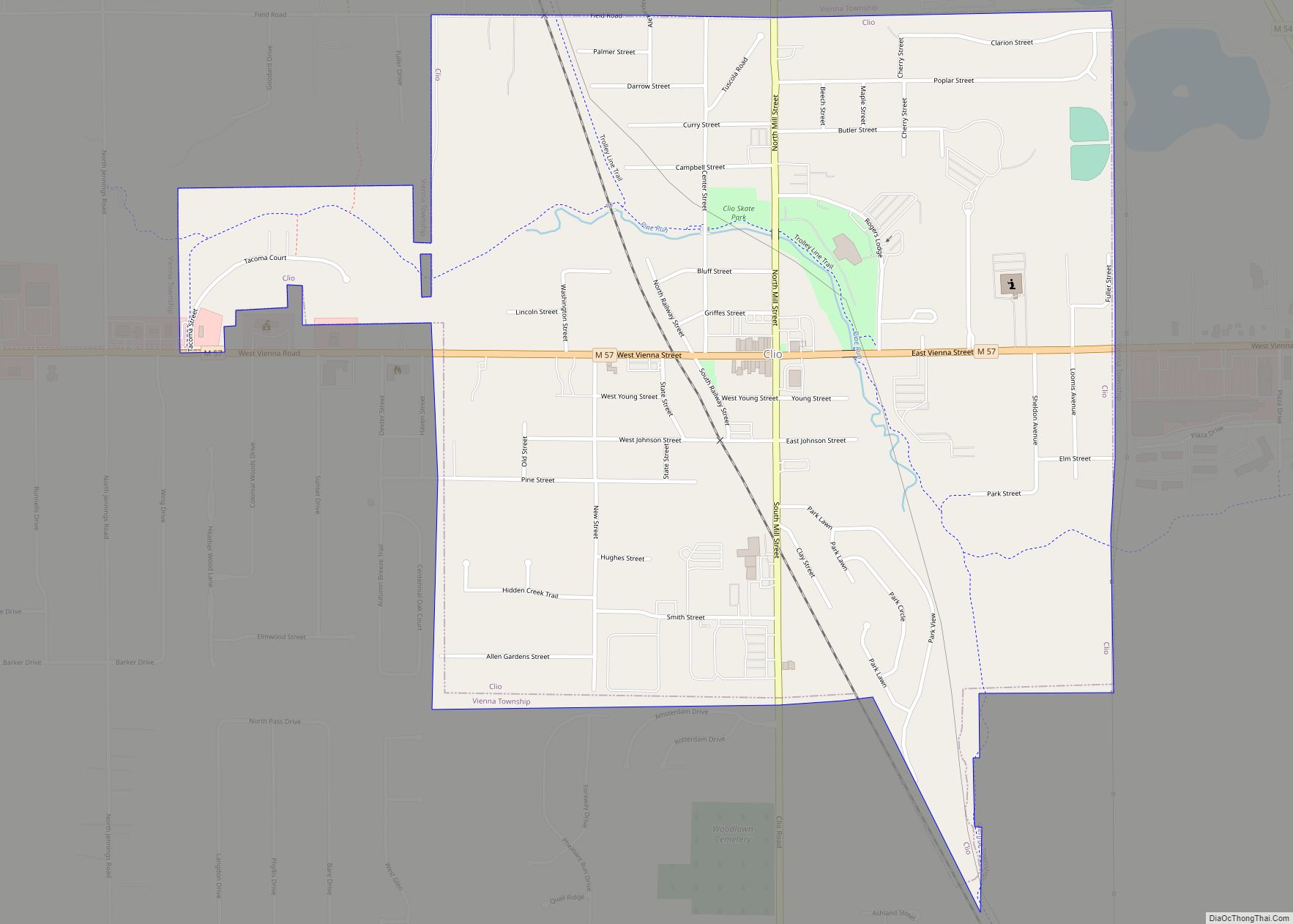
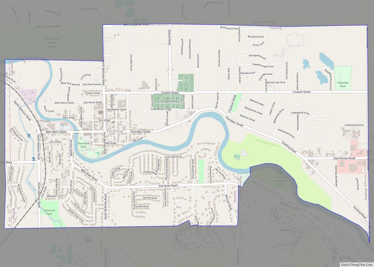
Online Interactive Map
Click on ![]() to view map in "full screen" mode.
to view map in "full screen" mode.
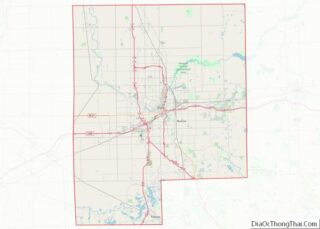
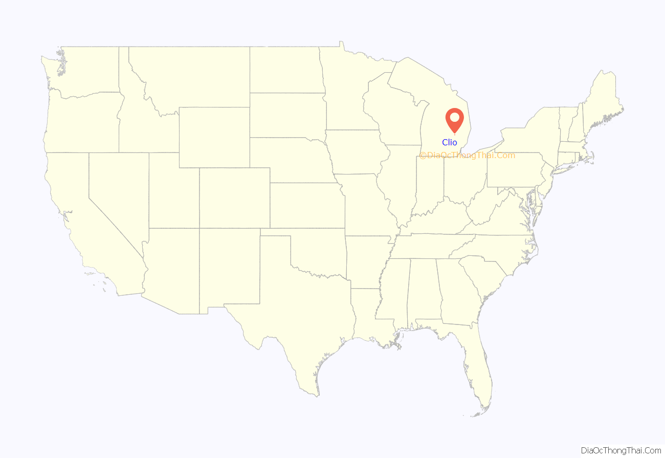
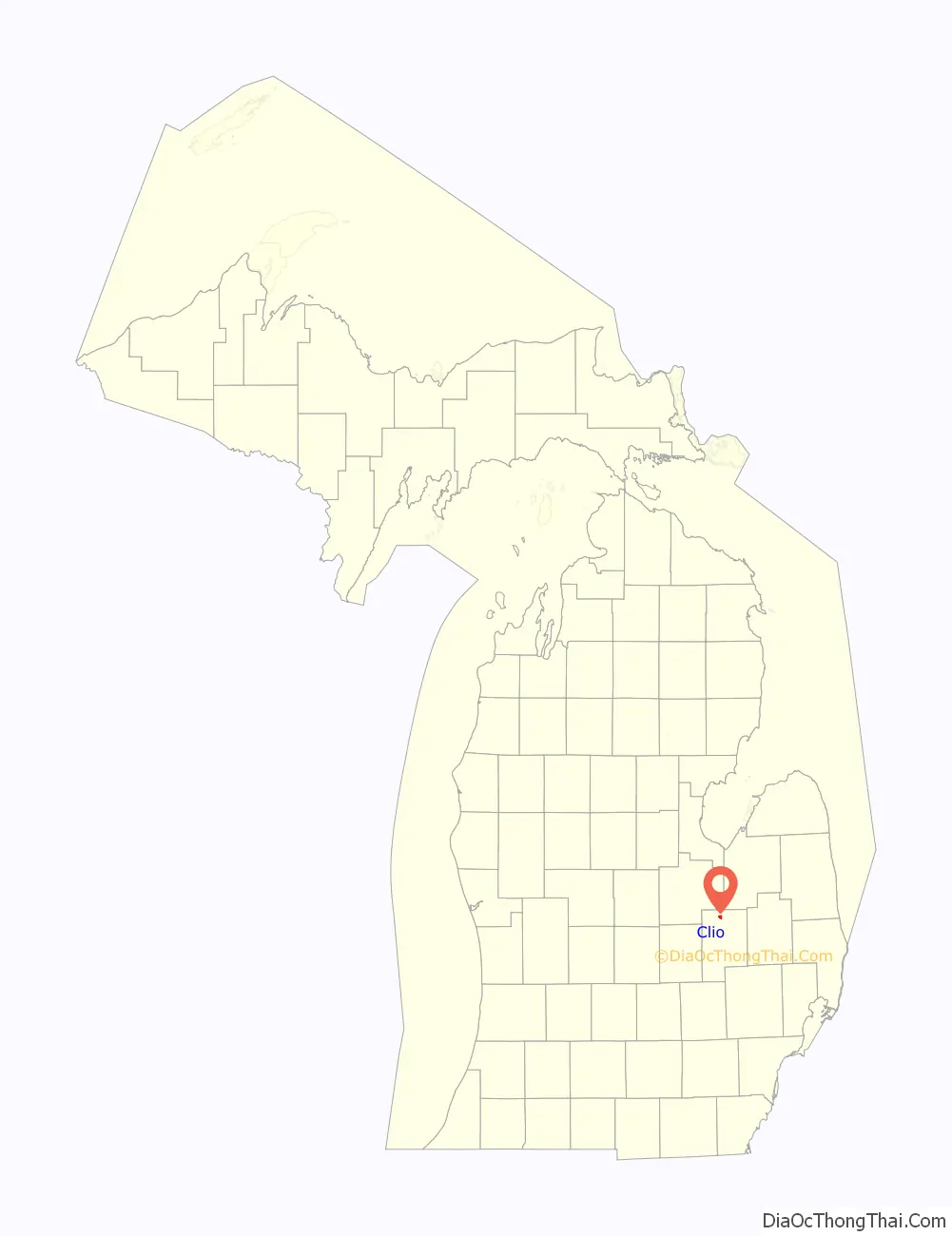
Clio location map. Where is Clio city?
History
The location was first settled in 1837 by Theodore P. Dean. Originally named Varna after the city’s first grain buyer. Pere Marquette Railroad came through and put a station there in 1861. Its name was changed in 1866 to Clio, the muse of history.
On July 23, 2007, Governor Jennifer Granholm announced Clio as a community chosen by the Michigan State Housing Development Authority (MSHDA), to take part in the Blueprints for Downtowns program. Clio would receive a comprehensive, market-driven strategy toward developing an action-oriented downtown that would result in economic growth, job creation and private investments. The Blueprints for Downtowns award, were announced to be also received by the communities of Caro and Ypsilanti. Scottville received a similar award to take part in the Cool Cities Michigan Main Street program.
On Monday November 27, 2017, the northern loop set of municipalities, including Clio, began receiving water from the Karegnondi Water Authority pipeline and treated by Genesee County Drain Commission Water and Waste Division.
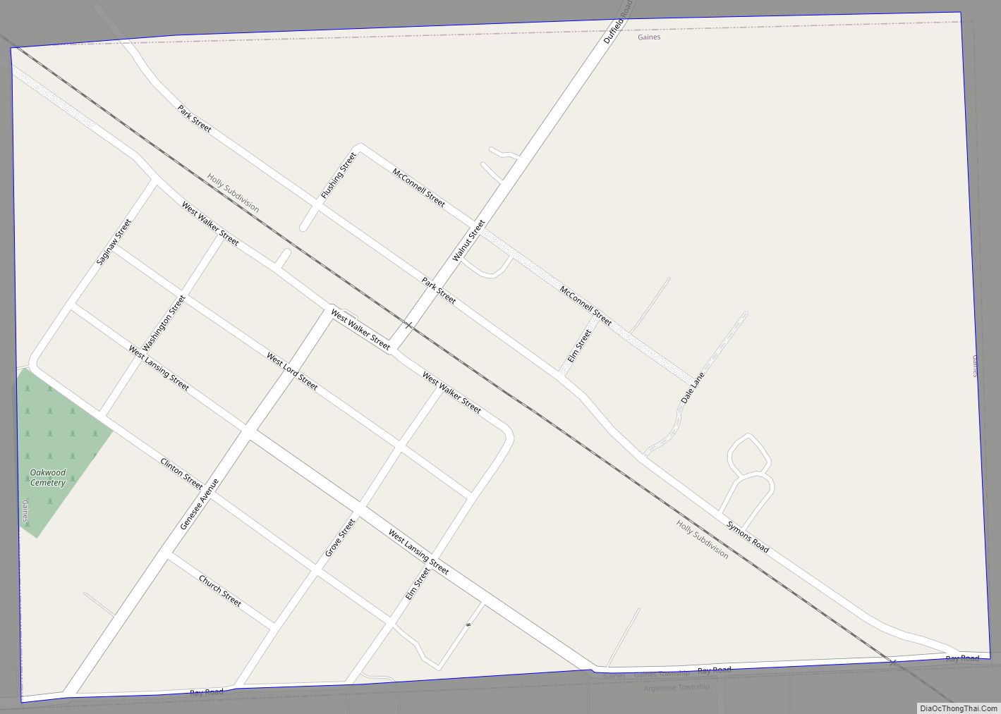
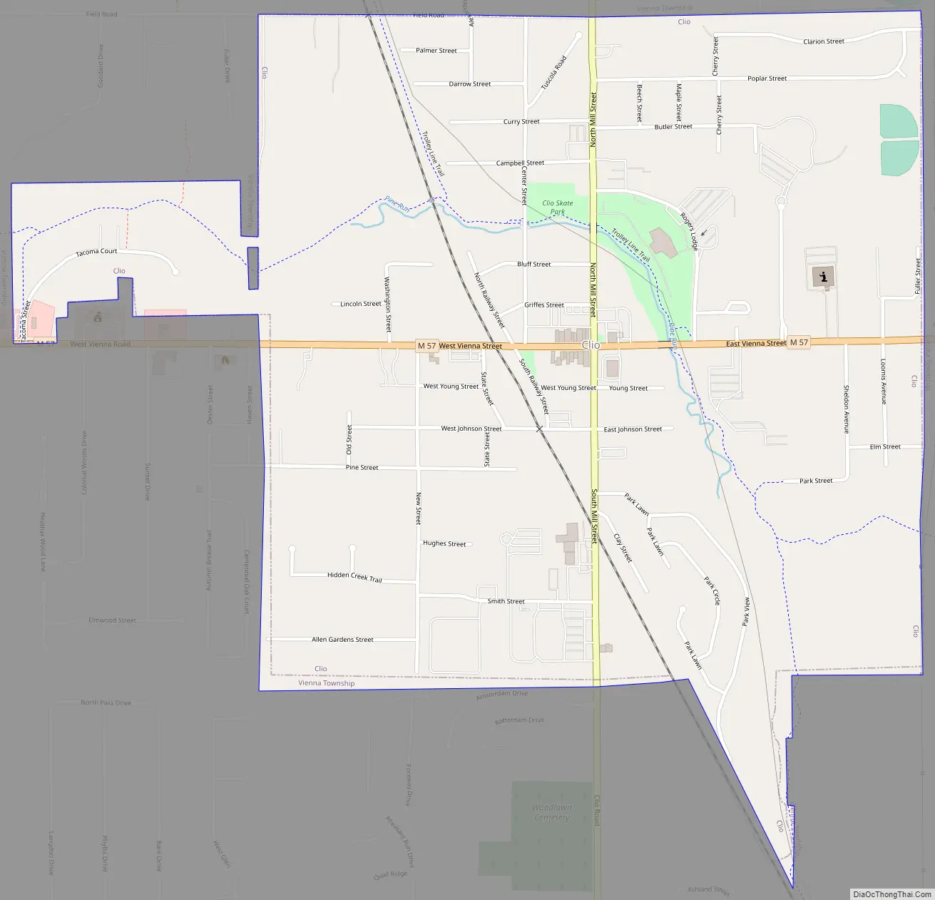
Clio Road Map
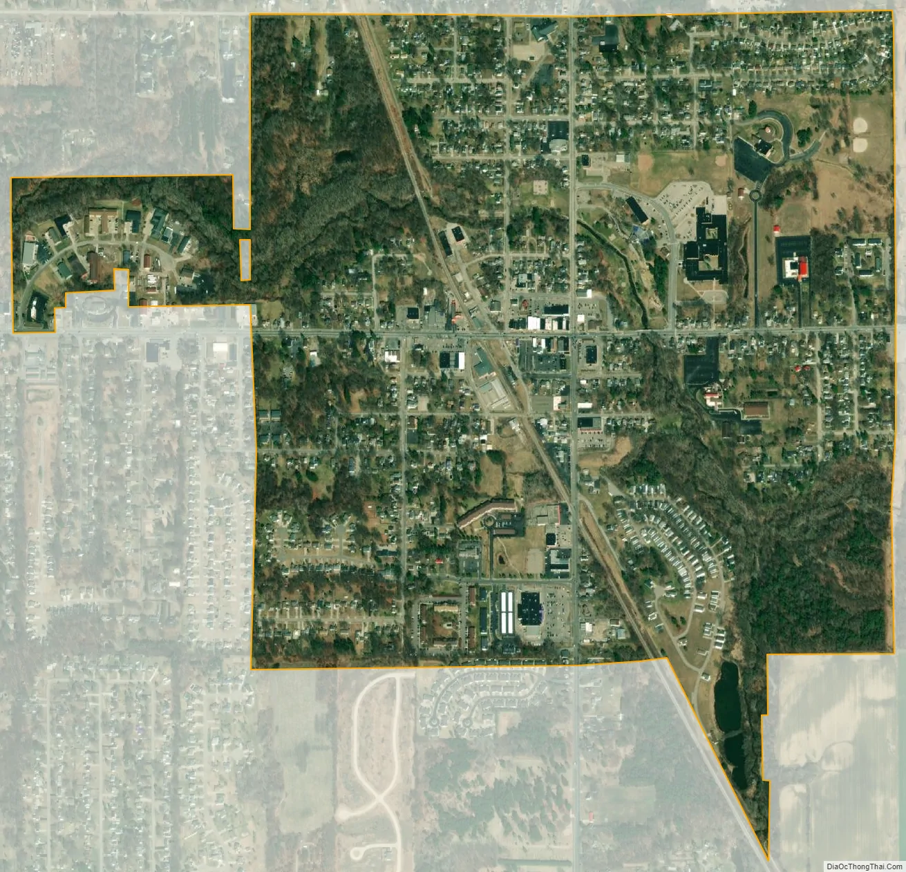
Clio city Satellite Map
Geography
According to the United States Census Bureau, the city has a total area of 1.12 square miles (2.90 km), of which 1.11 square miles (2.87 km) is land and 0.01 square miles (0.03 km) is water.
See also
Map of Michigan State and its subdivision:- Alcona
- Alger
- Allegan
- Alpena
- Antrim
- Arenac
- Baraga
- Barry
- Bay
- Benzie
- Berrien
- Branch
- Calhoun
- Cass
- Charlevoix
- Cheboygan
- Chippewa
- Clare
- Clinton
- Crawford
- Delta
- Dickinson
- Eaton
- Emmet
- Genesee
- Gladwin
- Gogebic
- Grand Traverse
- Gratiot
- Hillsdale
- Houghton
- Huron
- Ingham
- Ionia
- Iosco
- Iron
- Isabella
- Jackson
- Kalamazoo
- Kalkaska
- Kent
- Keweenaw
- Lake
- Lake Hurron
- Lake Michigan
- Lake St. Clair
- Lake Superior
- Lapeer
- Leelanau
- Lenawee
- Livingston
- Luce
- Mackinac
- Macomb
- Manistee
- Marquette
- Mason
- Mecosta
- Menominee
- Midland
- Missaukee
- Monroe
- Montcalm
- Montmorency
- Muskegon
- Newaygo
- Oakland
- Oceana
- Ogemaw
- Ontonagon
- Osceola
- Oscoda
- Otsego
- Ottawa
- Presque Isle
- Roscommon
- Saginaw
- Saint Clair
- Saint Joseph
- Sanilac
- Schoolcraft
- Shiawassee
- Tuscola
- Van Buren
- Washtenaw
- Wayne
- Wexford
- Alabama
- Alaska
- Arizona
- Arkansas
- California
- Colorado
- Connecticut
- Delaware
- District of Columbia
- Florida
- Georgia
- Hawaii
- Idaho
- Illinois
- Indiana
- Iowa
- Kansas
- Kentucky
- Louisiana
- Maine
- Maryland
- Massachusetts
- Michigan
- Minnesota
- Mississippi
- Missouri
- Montana
- Nebraska
- Nevada
- New Hampshire
- New Jersey
- New Mexico
- New York
- North Carolina
- North Dakota
- Ohio
- Oklahoma
- Oregon
- Pennsylvania
- Rhode Island
- South Carolina
- South Dakota
- Tennessee
- Texas
- Utah
- Vermont
- Virginia
- Washington
- West Virginia
- Wisconsin
- Wyoming